Plizio Visual Lab
Thiès Plateau

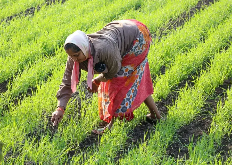
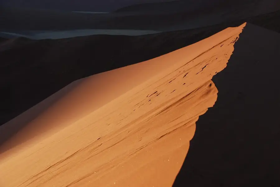
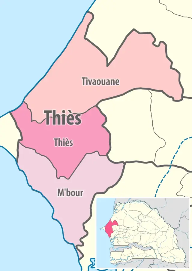
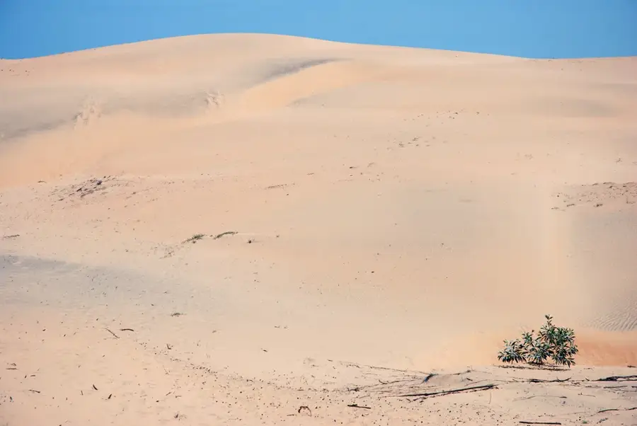
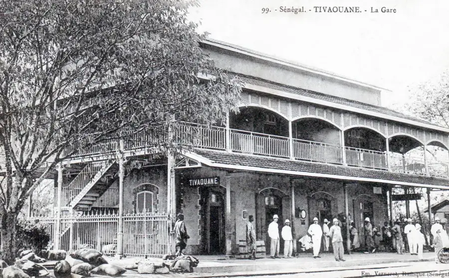
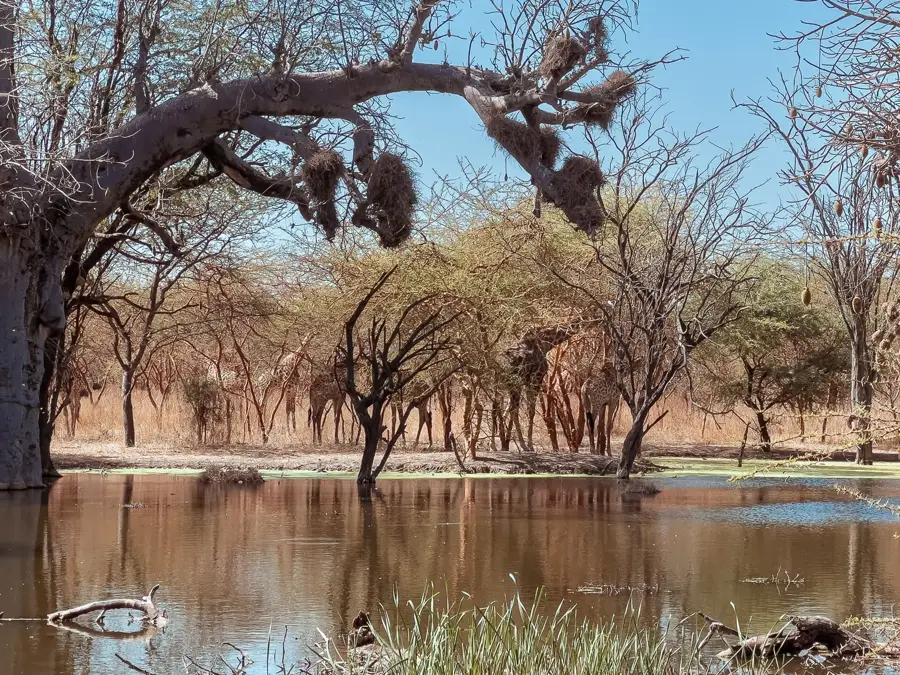
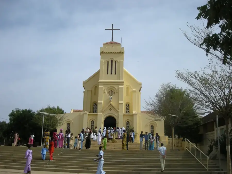
The Thiès Plateau is a prominent geological elevation in western Senegal, located about 70 kilometers east of Dakar. Rising up to 130 meters, it forms a significant contrast to the surrounding flat coastal plains. The relief is characterized by steep escarpments and a vast upland surface composed predominantly of Paleocene limestones and phosphate-rich sediments. This geological makeup makes the region the country's most important mining center, particularly for the extraction of phosphates, which are a major export commodity. The climate on the plateau is somewhat milder and breezier than in the hot lowlands of Dakar due to the increased elevation. The vegetation features baobabs and acacias, giving the landscape a characteristic appearance. Historically, Thiès was a strategic hub for the railway network during the French colonial era, which turned the city at the foot of the plateau into an industrial center. Hiking trails along the plateau edges offer expansive views across the Cap-Vert peninsula to the Atlantic Ocean.
- Location: Senegal
- Nearby: Somone (39 km)
Best time to visit & climate
The most pleasant time to visit is Jan, Feb, Dec.
| Jan | Feb | Mar | Apr | May | Jun | Jul | Aug | Sep | Oct | Nov | Dec | |
|---|---|---|---|---|---|---|---|---|---|---|---|---|
| Avg °C | 23 | 23 | 24 | 24 | 25 | 28 | 28 | 28 | 28 | 28 | 26 | 24 |
| Rain mm | 8 | 9 | 21 | 9 | 2 | 17 | 89 | 176 | 150 | 42 | 8 | 7 |
📋 Practical info
Geography
Facts
- The plateau reaches its highest elevation at approximately 130 meters above sea level.
- Thiès hosts the largest phosphate mines in West Africa.
- Geologically, the plateau belongs to the so-called Sedhiou Basin.
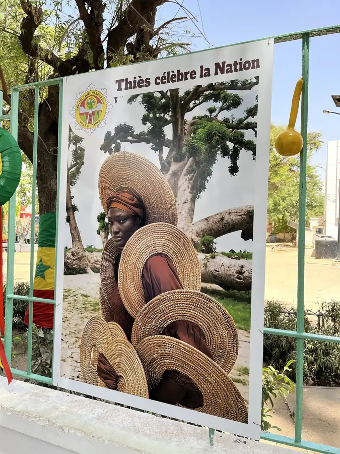
- The region is known for its basket weaving art, traditionally practiced on the plateau.
- The Thiès railway station was a central location for the 1947 railway strike.
- The plateau serves as an important watershed between the coast and the interior.
Explore nearby
Notable places around
Route planner — Car & Motorhome
Where do you start? We build the route here, with stops and country notes along the way.
© OpenStreetMap contributors · OpenRouteService
Sights in the town Thiès Plateau (1)
Sights nearby
Frequently asked questions
What can you see on the Thiès Plateau?
How long does it take from Dakar?
Is the area safe for bike trips?
Is there historical heritage there?
Is the climate on the plateau more pleasant than at the coast?
Thiès Plateau: where is it located?
Thiès Plateau: when is the best time to visit?
Thiès Plateau: why is it worth visiting?

Nearby cities
History & landmarks
More places