Plizio Visual Lab
Niayes Depression
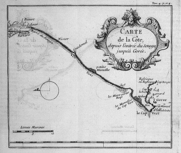
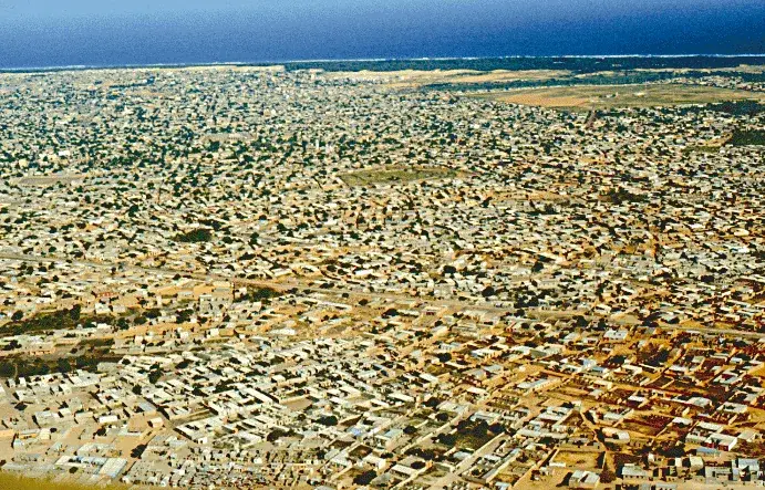
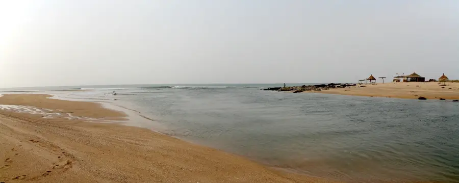
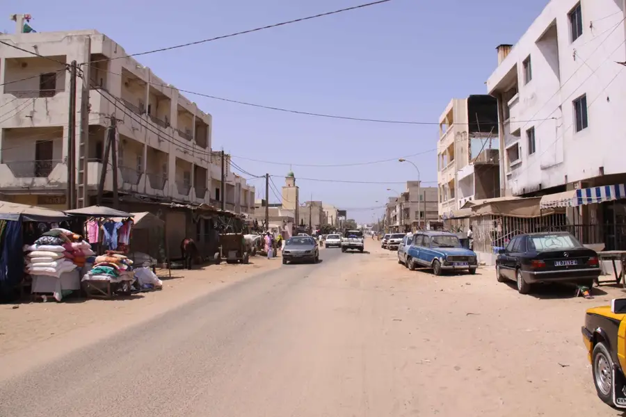
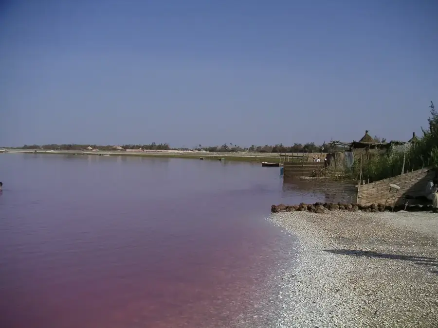
The Niayes Depression stretches as a narrow, approximately 180-kilometer-long strip along the northwestern coast of Senegal between Dakar and Saint-Louis. Geomorphologically, the region consists of a sequence of moist depressions tucked away between ancient coastal dunes, benefiting from a very high water table. This hydrological feature allows for the formation of permanent or seasonal ponds, which support intensive agriculture, particularly market gardening, in an otherwise arid zone. The microclimate is significantly influenced by the cool Canary Current, which keeps temperatures moderate and increases humidity compared to the drier interior. Historically, the region served as a vital supply belt for expanding coastal cities and remains the heart of Senegal's vegetable production today. The ecological significance of the Niayes is substantial, as it serves as a refuge for migratory birds and specific plant communities adapted to humid conditions. Currently, the area faces threats from encroaching urbanization and soil salinization due to intensive irrigation practices.
- Location: Senegal
- Top sights: Monument Diogal Ngom · Village des Tortures · Centre de protection des tortues du Sénégal
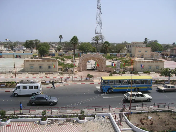
- Nearby: Rufisque (12 km)
Best time to visit & climate
The most pleasant time to visit is Jan, Feb, Dec.
| Jan | Feb | Mar | Apr | May | Jun | Jul | Aug | Sep | Oct | Nov | Dec | |
|---|---|---|---|---|---|---|---|---|---|---|---|---|
| Avg °C | 23 | 23 | 24 | 24 | 25 | 28 | 28 | 28 | 28 | 28 | 26 | 24 |
| Rain mm | 8 | 9 | 21 | 9 | 2 | 17 | 89 | 176 | 150 | 42 | 8 | 7 |
📋 Practical info
Geography
Facts
- The Niayes region supplies about 80% of the vegetables consumed in Senegal.
- The water table in the depressions is often just 1 to 5 meters below the surface.
- The region extends for approximately 180 km along the Atlantic coast.
- The average temperature is about 5°C lower than inland due to the Canary Current.
- The coastal dunes bordering the depressions reach heights of up to 20 meters.
- The area is a key corridor for over 150 different species of migratory birds.
Explore nearby
Notable places around
Route planner — Car & Motorhome
Where do you start? We build the route here, with stops and country notes along the way.
© OpenStreetMap contributors · OpenRouteService
Sights in the town Niayes Depression (4)
Sights nearby
Frequently asked questions
What is the Niayes region known for?
Is the area easily accessible?
What is the best season for a visit?
Can one eat locally in Niayes?
Is the landscape family-friendly?
Niayes Depression: where is it located?
Niayes Depression: what is there to see?
Niayes Depression: when is the best time to visit?
Niayes Depression: why is it worth visiting?

Nearby cities
History & landmarks


Nature
More places