Plizio Visual Lab
Upper Ausa River
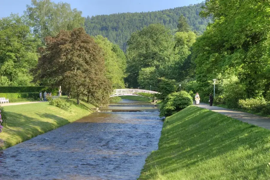
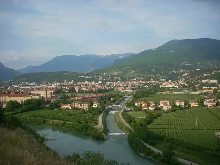
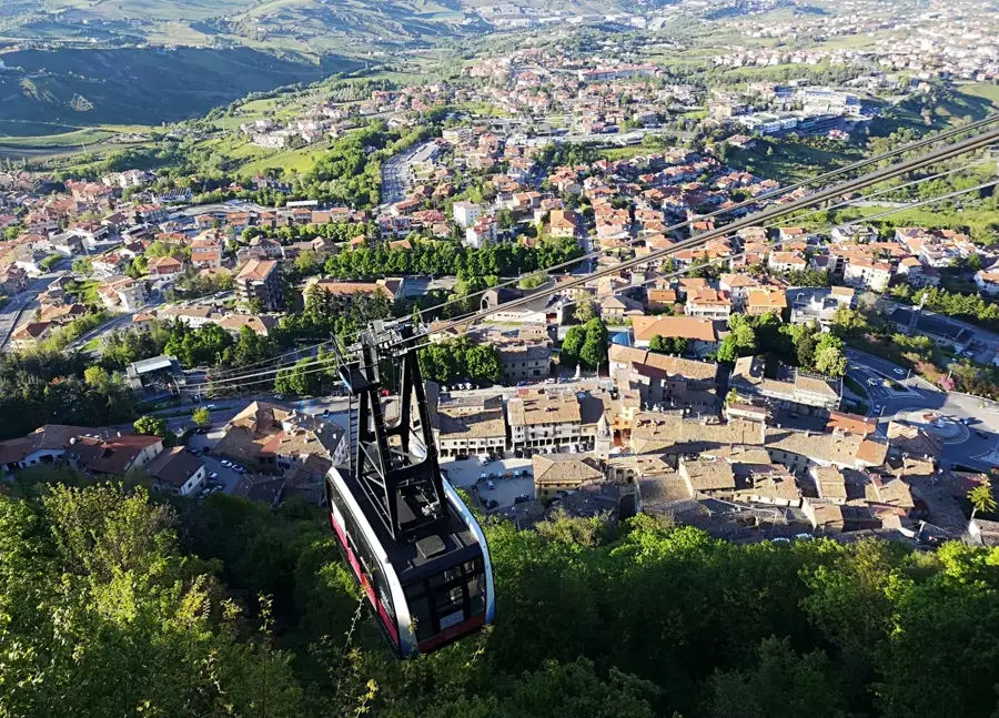
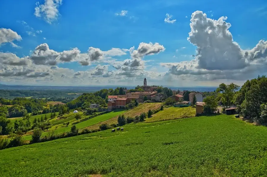
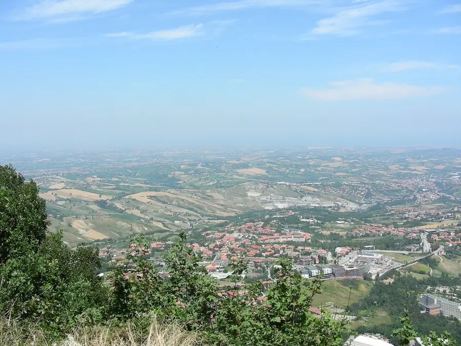
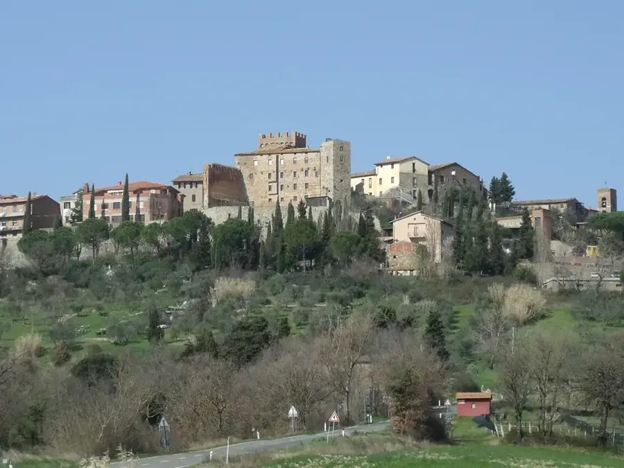
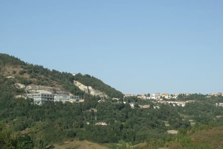
The Upper Ausa River originates on the northern slopes of Monte Titano and flows through the most densely populated northeastern sector of San Marino. This watercourse has played a fundamental role in the development of the Serravalle and Dogana districts, historically providing water for both agricultural irrigation and early industrial processes. The river valley is characterized by Quaternary alluvial deposits and clayey soils that support a specific riparian ecosystem of alders and willows. While urban expansion has led to the canalization or underground rerouting of several sections, the upper reaches still preserve important ecological niches for migratory birds and amphibians. The Ausa eventually flows across the border into Italy, emptying into the Adriatic Sea near Rimini. Current environmental initiatives focus on preserving the water quality and restoring natural banks to maintain the river's function as a green infrastructure within the urban landscape.
- Location: San Marino
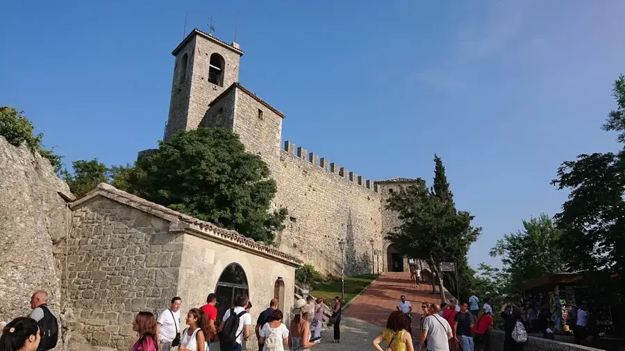
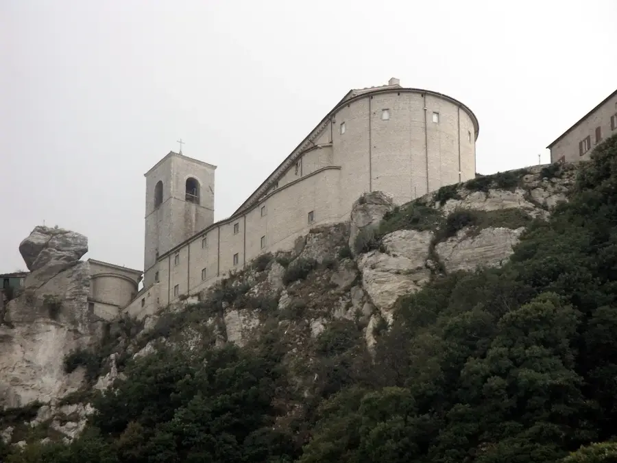
- Top sights: Santuario della Beata Vergine della Consolazione · Cava dei Balestrieri · National Gallery of Modern and Contemporary Art
- Nearby: Cà Giangi (4 km)
Best time to visit & climate
The most pleasant time to visit is Jun, Jul, Sep.
| Jan | Feb | Mar | Apr | May | Jun | Jul | Aug | Sep | Oct | Nov | Dec | |
|---|---|---|---|---|---|---|---|---|---|---|---|---|
| Avg °C | 6 | 6 | 9 | 13 | 17 | 22 | 25 | 25 | 20 | 16 | 11 | 7 |
| Rain mm | 55 | 71 | 69 | 63 | 69 | 46 | 38 | 47 | 79 | 79 | 88 | 68 |
📋 Practical info
Geography
Facts
- The Ausa starts its course from the slopes of Monte Titano.
- It flows through the most industrialized part of the republic.
- The river spans approximately 17 km from source to the Adriatic Sea.
- Urban planning has integrated several green parks along its banks.
- The Ausa valley soil is rich in clay and alluvial sediments.
- It is a transboundary watercourse shared between San Marino and Italy.
Explore nearby
Notable places around
Route planner — Car & Motorhome
Where do you start? We build the route here, with stops and country notes along the way.
© OpenStreetMap contributors · OpenRouteService
Sights in the town Upper Ausa River (10)
Cava dei Balestrieri
Former quarry, now used for crossbow demonstrations and historical reenactments in San Marino.
National Gallery of Modern and Contemporary Art🏛 museum
Art museum featuring 19th and 20th century paintings and sculptures.
Basilica di San Marino
Neoclassical church dedicated to Saint Marinus, housing relics of the city's patron saint.
Palazzo Pubblico
City hall and parliament seat of San Marino, built in neo-Gothic style on Piazza della Libertà.
Museo Armi Moderne🏛 museum
Museum of modern weapons, displaying firearms and military equipment from the 19th and 20th centuries.
Octila Heyroth Wagener
Monument honoring Octila Heyroth Wagener, a philanthropist in San Marino.
Statua della Libertà
Marble statue on Piazza della Libertà, symbol of the independence of the Republic of San Marino.
The city museum of San Marino🏛 museum
City museum with archaeological finds, art, and historical documents from San Marino.
Chiesa di San Francesco
Church in San Marino, built in the 14th century, with an adjoining monastery.
Sights nearby
Frequently asked questions
Where does the Ausa river originate?
Is the upper course of the river scenic?
Can you jog along the river?
How is the water quality?
Is gold panning allowed in the river?
Upper Ausa River: where is it located?
Upper Ausa River: what is there to see?
Upper Ausa River: when is the best time to visit?
Upper Ausa River: why is it worth visiting?

Nearby cities