Plizio Visual Lab
Pian di Gesto
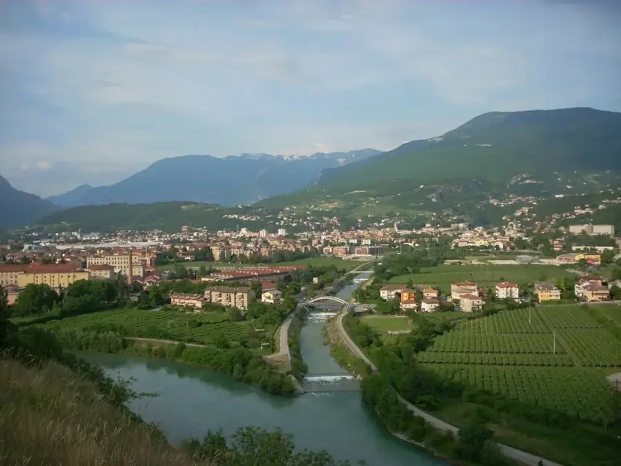
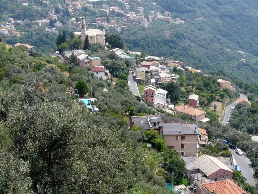
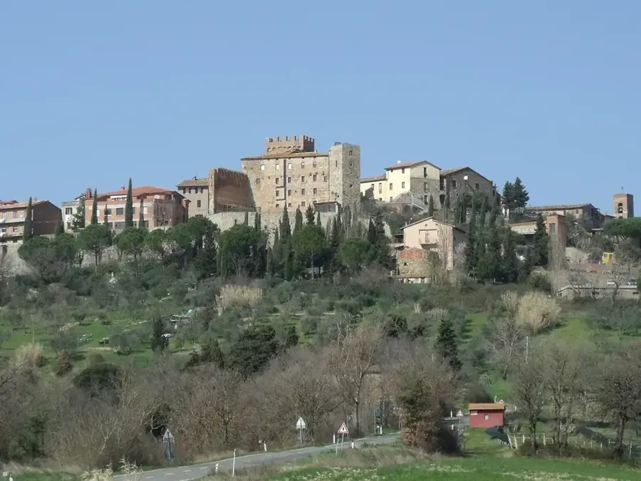
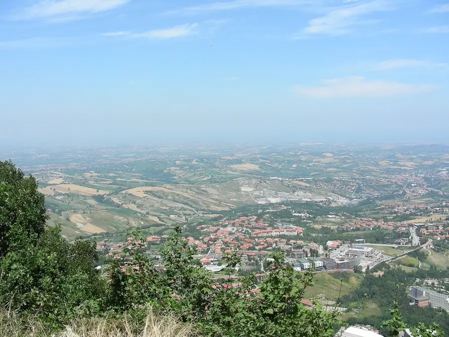
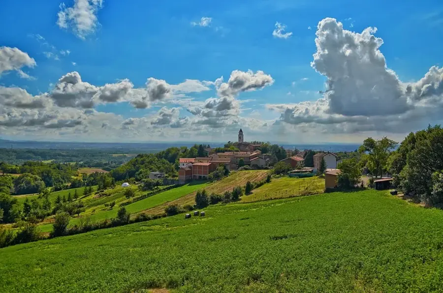
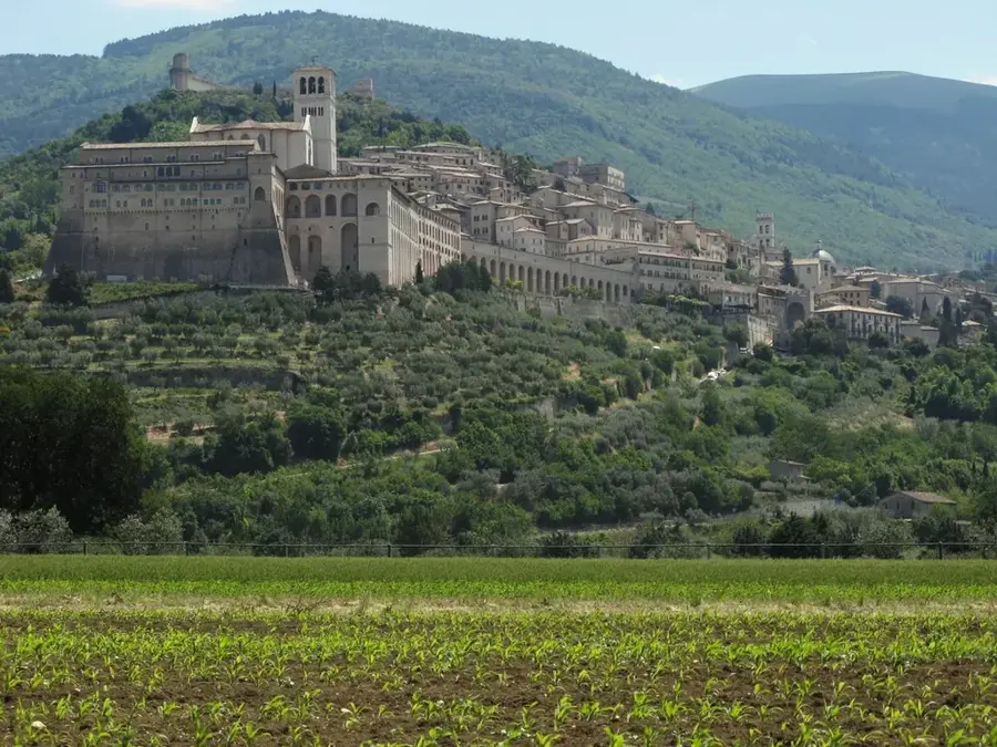
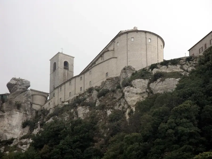
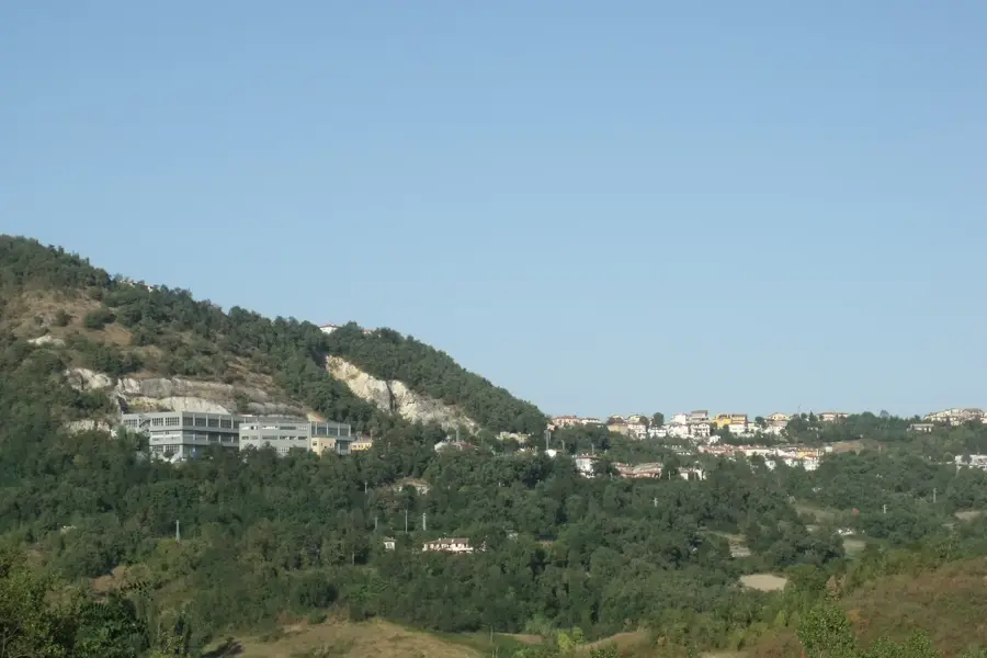
Pian di Gesto is a plateau and a significant agricultural area within the municipality of Faetano, in eastern San Marino. Located at an average altitude of approximately 300 meters, this area is characterized by fertile soils that have been used for generations to cultivate grains, grapes, and olives. The landscape is gently undulating and is crossed by small tributaries of the Marano river, which marks the nearby border with Italy. Historically, Pian di Gesto was a site of San Marino's territorial expansion in 1463, when the area was annexed following the war against the Malatesta family of Rimini. The region preserves numerous traditional farmhouses that stand as witnesses to the rural architecture of past centuries. The geological structure primarily consists of sedimentary rocks such as marl and clay, which allow for good water retention for farming. Today, Pian di Gesto plays a central role in the production of local specialties and is an example of the sustainable management of San Marino's cultural landscape.
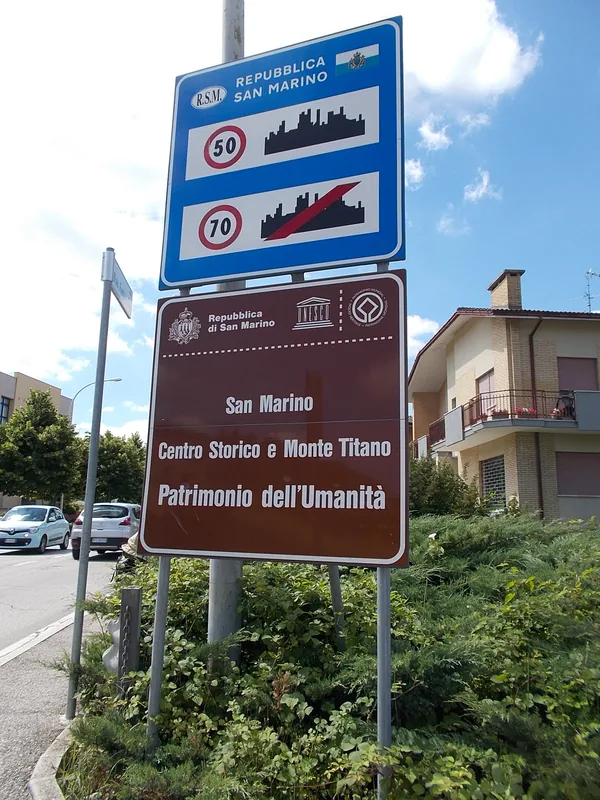
- Location: San Marino
- Top sights: Rovine di un fortilizio medievale · Monte Carlo · Kursaal Sala Congressi
- Nearby: Gualdicciolo di Sotto (4 km)
Best time to visit & climate
The most pleasant time to visit is Jun, Jul, Sep.
| Jan | Feb | Mar | Apr | May | Jun | Jul | Aug | Sep | Oct | Nov | Dec | |
|---|---|---|---|---|---|---|---|---|---|---|---|---|
| Avg °C | 6 | 6 | 9 | 13 | 17 | 22 | 25 | 25 | 20 | 16 | 11 | 7 |
| Rain mm | 55 | 71 | 69 | 63 | 69 | 46 | 38 | 47 | 79 | 79 | 88 | 68 |
📋 Practical info
Geography
Facts
- Average elevation of 300 meters.
- Located in the municipality of Faetano.
- Part of the 1463 territorial expansion.
- Key center for wine and grain production.
- Drained by tributaries of the Marano river.
- Features historic farmhouses from the 18th century.
Explore nearby
Notable places around
Route planner — Car & Motorhome
Where do you start? We build the route here, with stops and country notes along the way.
© OpenStreetMap contributors · OpenRouteService
Sights in the town Pian di Gesto (10)
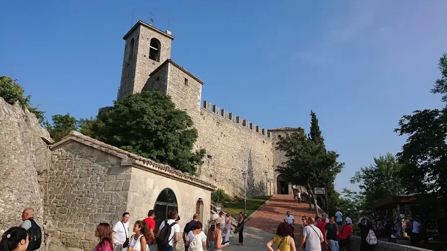
Torre del Montale🏰 castle
Third tower of the fortifications of San Marino.
Cavallo
Horse sculpture, monument in San Marino.
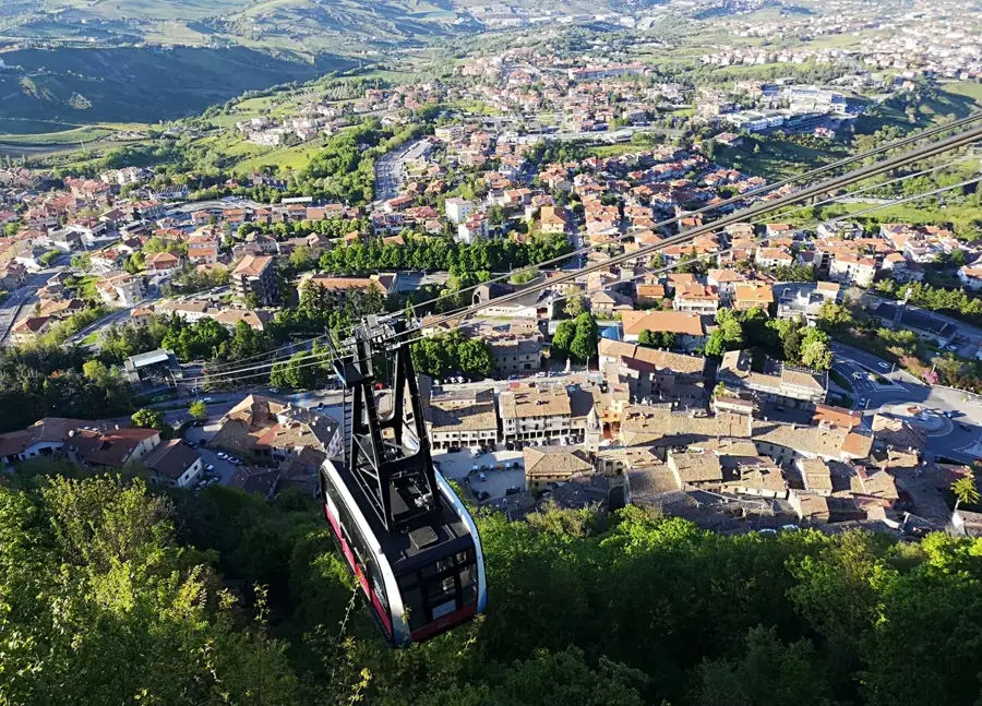
Monte Titano
Mountain in San Marino, symbol of the country.
Sammarinese Museum of Ancient Arms🏛 museum
Military museum with ancient weapons in San Marino.
De La Fratta Castle🏰 castle
Second tower of the fortifications of San Marino.
Tank from plasticine
Tank made of plasticine, art installation in San Marino.
Sights nearby
Frequently asked questions
Is Pian di Gesto a plain?
Is there agriculture practiced there?
Are there paved roads there?
Can you go birdwatching there?
Is it very hot there in summer?
Pian di Gesto: where is it located?
Pian di Gesto: what is there to see?
Pian di Gesto: when is the best time to visit?
Pian di Gesto: why is it worth visiting?

Nearby cities