Plizio Visual Lab
Pian della Segara
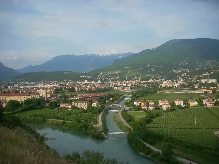
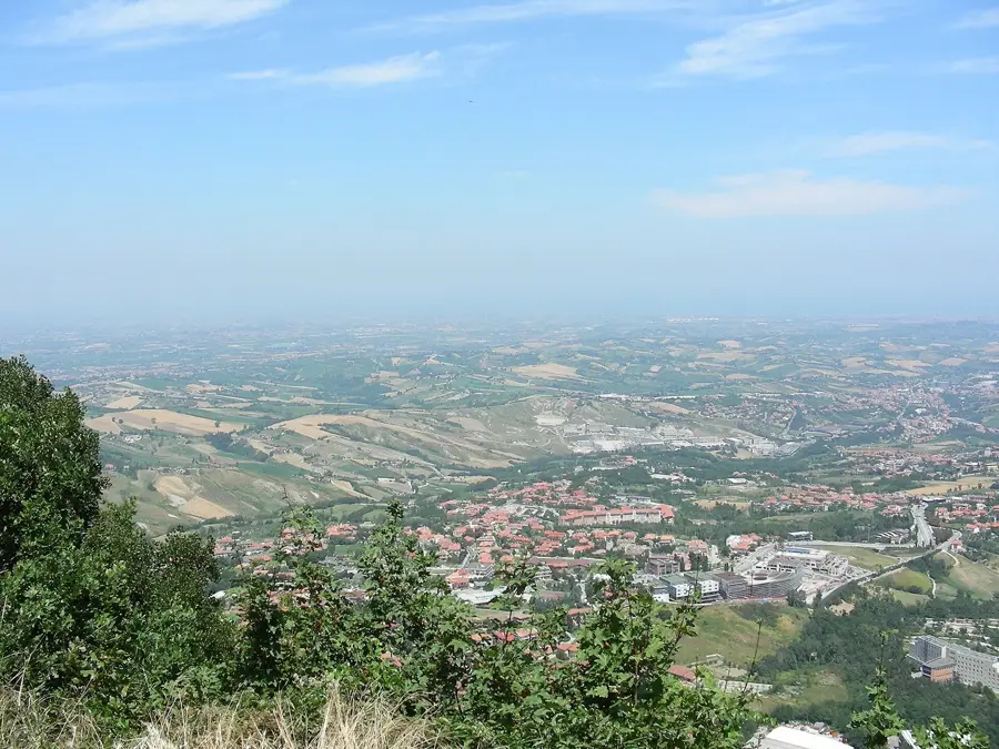
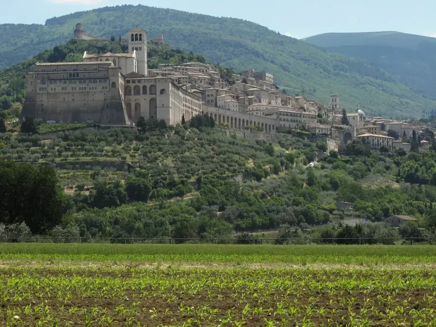
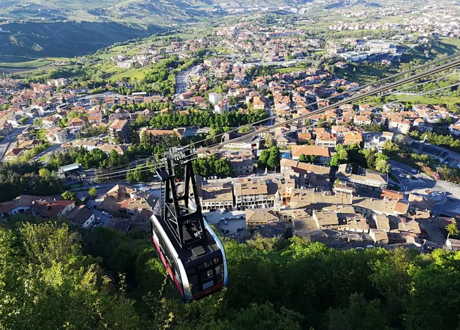
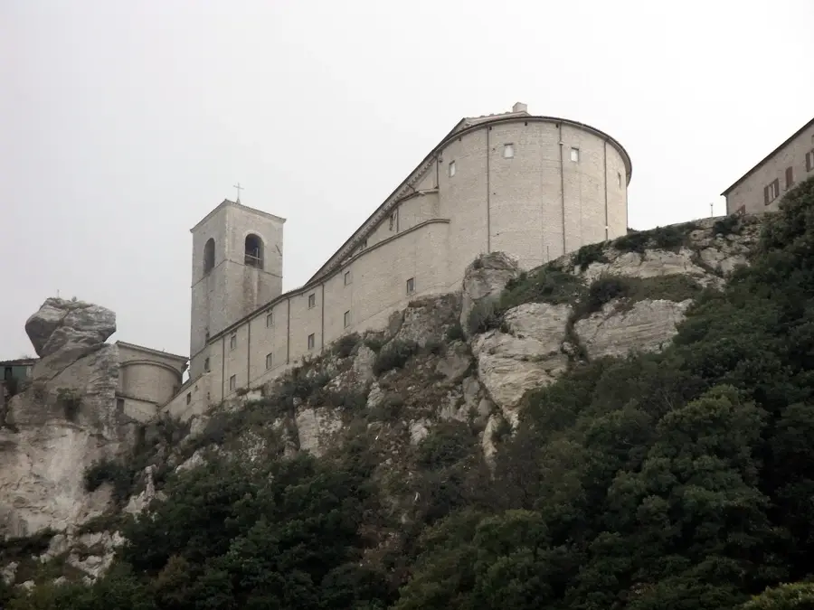
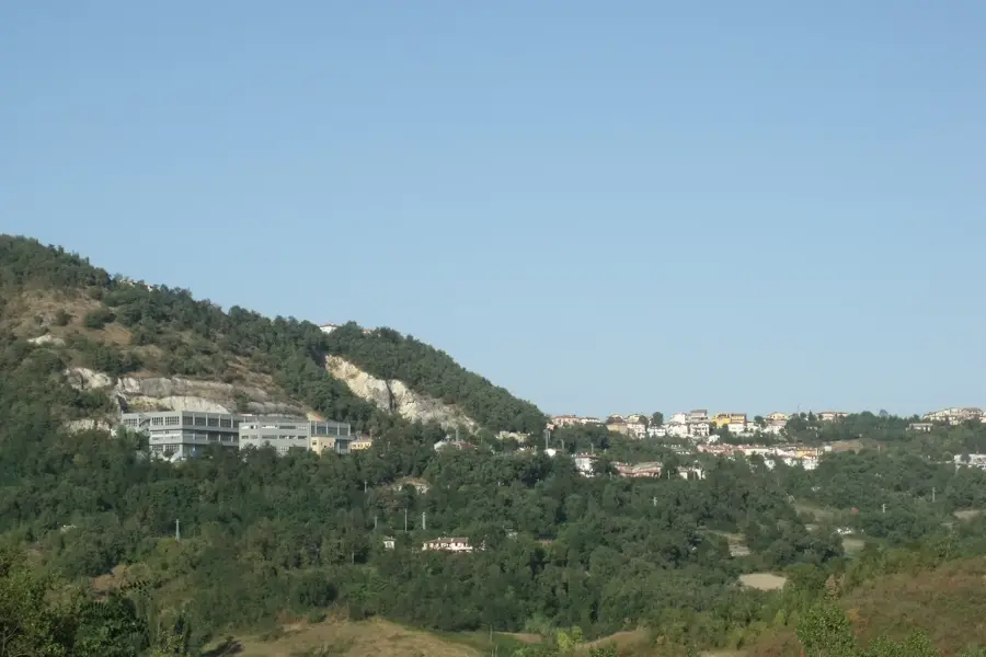
Pian della Segara is a plateau-like formation located in the southwestern part of the Republic of San Marino, near the border with Italy's Marche region. This area is characterized by its relatively flat topography compared to the surrounding steep slopes, sitting at an average elevation of 450 meters. The geological structure is defined by Tertiary sediments, which provide fertile ground for local agricultural activities. Historically, the area was utilized for grain cultivation and livestock grazing, mirroring San Marino's agrarian heritage. Due to its proximity to the border, Pian della Segara often served as a site for cross-border trade and cultural exchange. The plateau features a clear vantage point of the nearby San Leo fortress on the Italian side. In modern times, the region has become a focus for preserving traditional farming methods and protecting local biodiversity.
- Location: San Marino
- Top sights: L'elettromotrice "AB-03" · Cavallo · Kursaal Sala Congressi
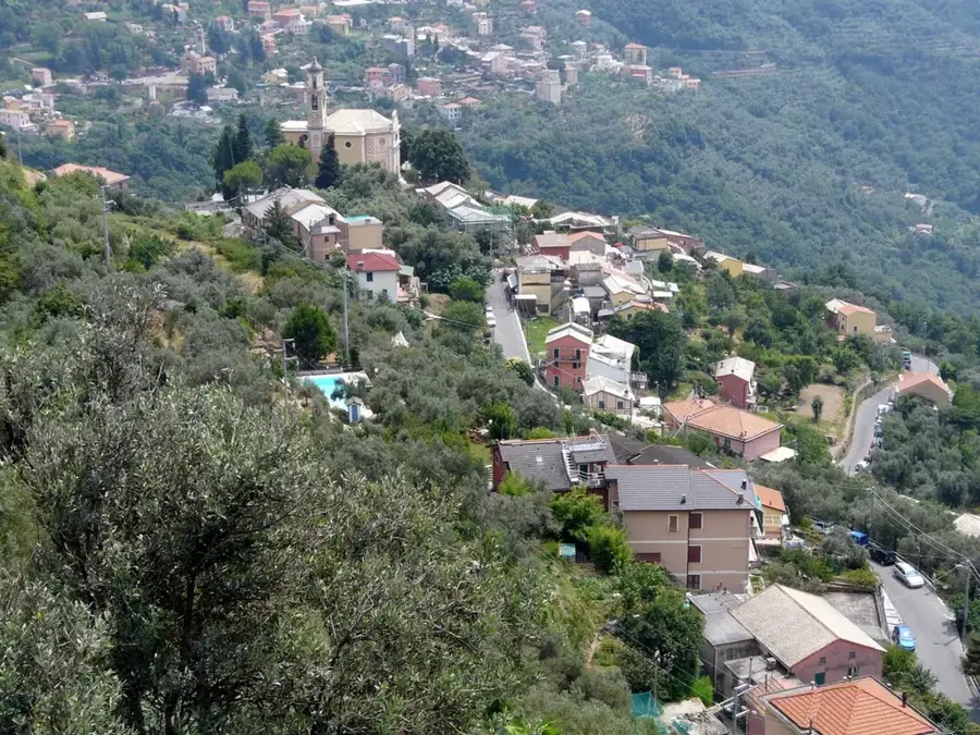
- Nearby: Santagatha (4 km)
Best time to visit & climate
The most pleasant time to visit is Jun, Jul, Sep.
| Jan | Feb | Mar | Apr | May | Jun | Jul | Aug | Sep | Oct | Nov | Dec | |
|---|---|---|---|---|---|---|---|---|---|---|---|---|
| Avg °C | 6 | 6 | 9 | 13 | 17 | 22 | 25 | 25 | 20 | 16 | 11 | 7 |
| Rain mm | 55 | 71 | 69 | 63 | 69 | 46 | 38 | 47 | 79 | 79 | 88 | 68 |
📋 Practical info
Geography
Facts
- The plateau's average elevation is approximately 450 meters.
- It is situated in the western sector of the Chiesanuova municipality.
- The soil consists primarily of clayey limestone marls.
- The area is located less than 1 kilometer from the Italian border.
- Archaeological records show agricultural use dating back to the Middle Ages.
- The San Leo fortress is visible from here at a distance of about 5 km.
Explore nearby
Notable places around
Route planner — Car & Motorhome
Where do you start? We build the route here, with stops and country notes along the way.
© OpenStreetMap contributors · OpenRouteService
Sights in the town Pian della Segara (10)
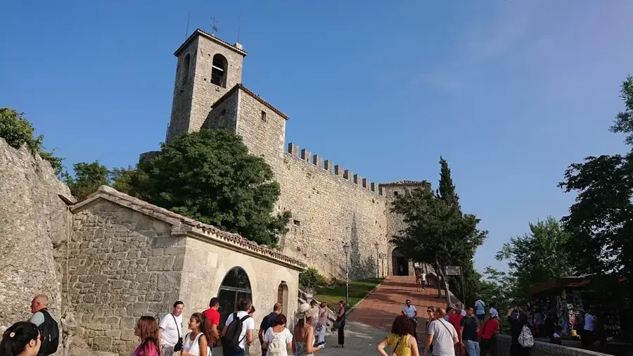
Monte Titano
Highest mountain of San Marino, with three fortresses.
Sammarinese Museum of Ancient Arms🏛 museum
Military museum with historical weapons and armor.
De La Fratta Castle🏰 castle
Second tower of San Marino, on Monte Titano.
Tank from plasticine
Tank made of plasticine, art installation in Pian della Segara.
Teatro Titano
Theatre in Pian della Segara, for performances.
Museo della Tortura🏛 museum
Museum in San Marino, torture instruments displayed.
Sights nearby
Frequently asked questions
Where is Pian della Segara located?
Are there marked hiking trails?
Is the terrain steep?
What animals can be seen here?
Do I need a special permit?
Pian della Segara: where is it located?
Pian della Segara: what is there to see?
Pian della Segara: when is the best time to visit?
Pian della Segara: why is it worth visiting?

Nearby cities