Plizio Visual Lab
Cà Olivo
ℹ️Practical info — Cà Olivo
▾
🌤 Weather — 5 days
📍 Nearby
Sights nearby
💡 Tips
- The roads leading here are narrow and can be tricky for larger motorhomes.
- It's an excellent area for agritourism; consider booking a farm stay for the full experience.
- Birdwatchers will enjoy the diverse species found in the southern scenic environment.
- Temperatures drop noticeably in the evening due to the valley breezes.
🍽 Food
A traditional dense fruit and cornmeal cake, first-rate with afternoon coffee.
Enjoy this hand-rolled pasta with a rich meat ragù at a countryside tavern.
Taste the wildflower honey produced by the region's diverse flora.
🛍 Shopping · 🧘 Quiet spots
True to the area's name (Olivo), seek out local producers for high-quality extra virgin olive oil.
Check the schedule for mobile markets bringing fresh goods to the municipality.
Find a quiet spot near the shaded agricultural terraces.
Trails near the border with Italy are completely untouched by tourism.
Water temperature…
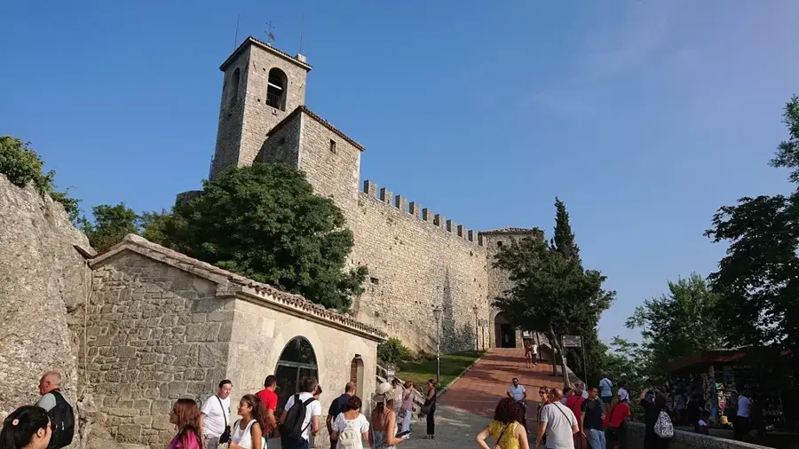
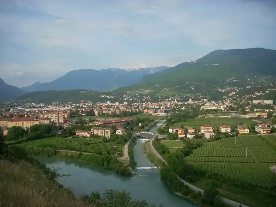
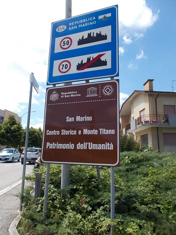
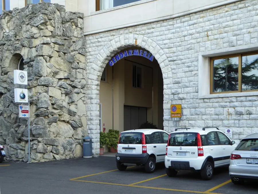
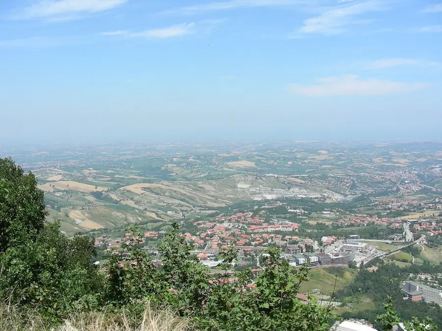
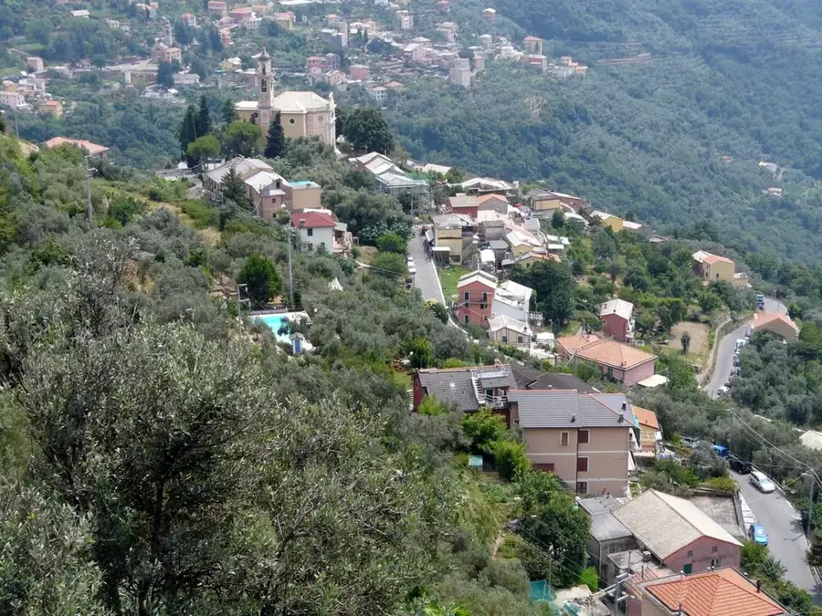
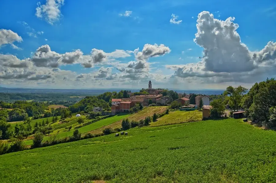
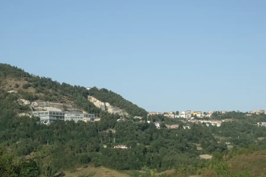
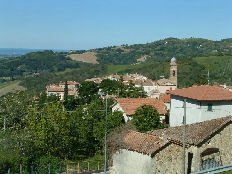
Cà Olivo is a small locality situated within the castello of Borgo Maggiore in San Marino. The village is located in a hilly region famous for its olive groves, from which the settlement derives its name. Historically, this area was part of the agricultural lands that ensured the food supply for the fortified city atop Mount Titano. The settlement structure today consists mainly of detached houses built along the winding roads of the San Marinese hills. Geographically, Cà Olivo occupies a strategic position overlooking the Marecchia Valley, which was significant in the past for monitoring trade routes. Despite modern development, the place has largely preserved its rural character. Access to major transport links provides quick connectivity to both the administrative center of Borgo Maggiore and the border with Italy.
- Location: San Marino
- Nearby: Poggiale (4 km)
- Population: ~910
Best time to visit & climate
The most pleasant time to visit is Jun, Jul, Sep.
| Jan | Feb | Mar | Apr | May | Jun | Jul | Aug | Sep | Oct | Nov | Dec | |
|---|---|---|---|---|---|---|---|---|---|---|---|---|
| Avg °C | 6 | 6 | 9 | 13 | 17 | 22 | 25 | 25 | 20 | 16 | 11 | 7 |
| Rain mm | 55 | 71 | 69 | 63 | 69 | 46 | 38 | 47 | 79 | 79 | 88 | 68 |
Geography
Facts
- The name refers to the house of the olive trees (Casa dell'Olivo).
- Administratively belongs to the municipality of Borgo Maggiore.
- Located at an elevation of about 350 to 400 meters.
- The climate is temperate due to its proximity to the Adriatic and its hillside location.
- Nearby are historic paths leading toward Mount Titano.
- The local economy was purely agrarian until the 20th century.
Explore nearby
Notable places around
Route planner — Car & Motorhome
Where do you start? We build the route here, with stops and country notes along the way.
© OpenStreetMap contributors · OpenRouteService
Frequently asked questions
What characterizes Cà Olivo?
Are there hiking opportunities there?
Is Cà Olivo accessible by car?
Are there shopping options in Cà Olivo?
When should you visit Cà Olivo?
Cà Olivo: where is it located?
Cà Olivo: when is the best time to visit?
Cà Olivo: why is it worth visiting?

Nearby cities