Plizio Visual Lab
Fort Duvernette
Weather…
Water temperature…
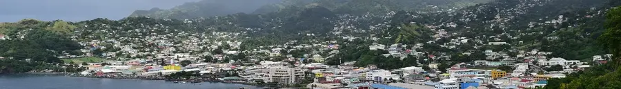
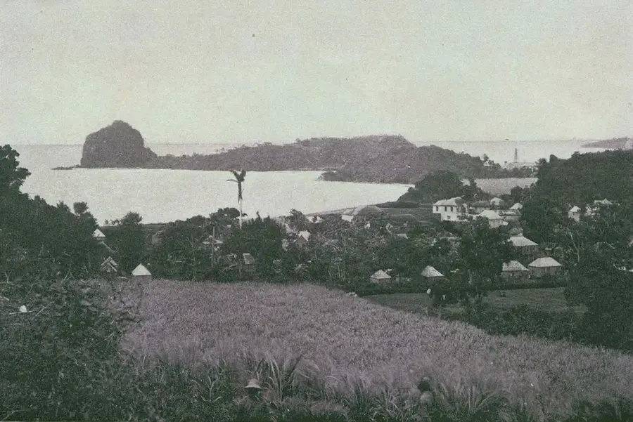
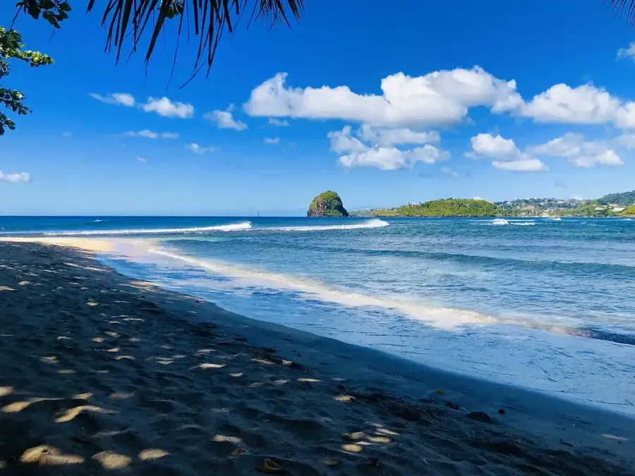
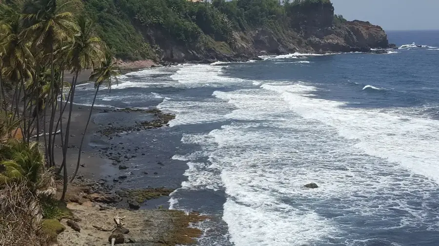
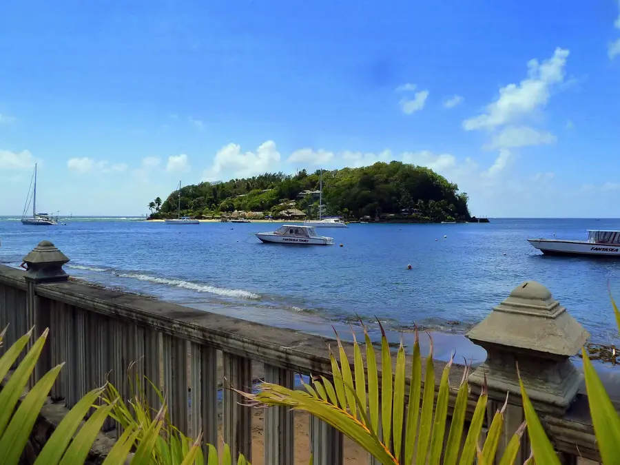
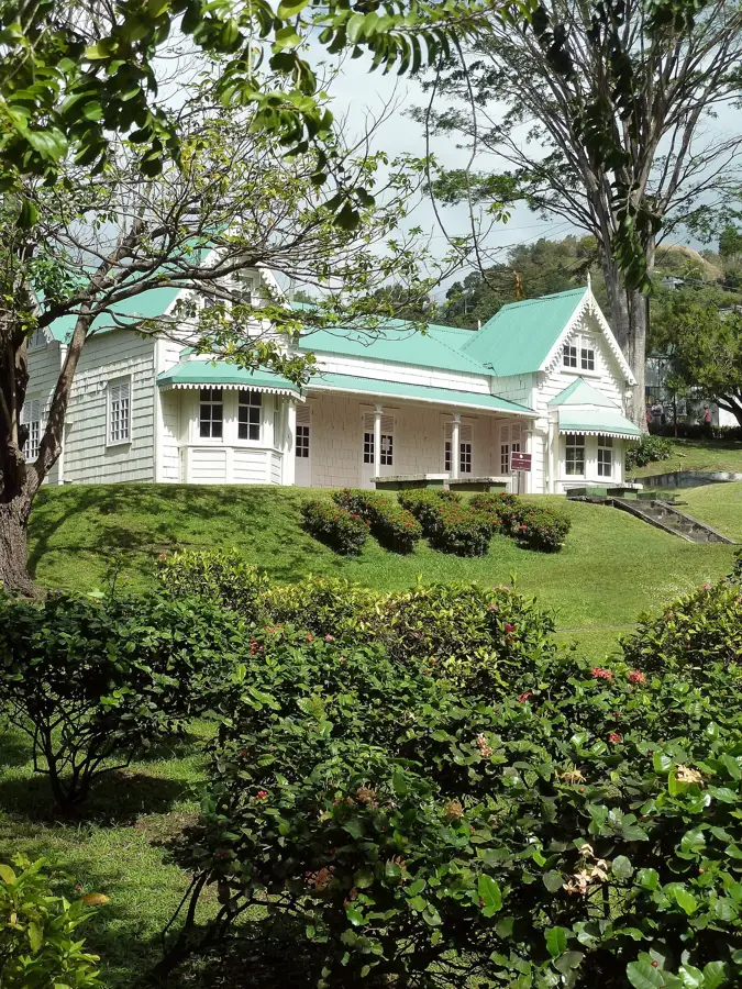
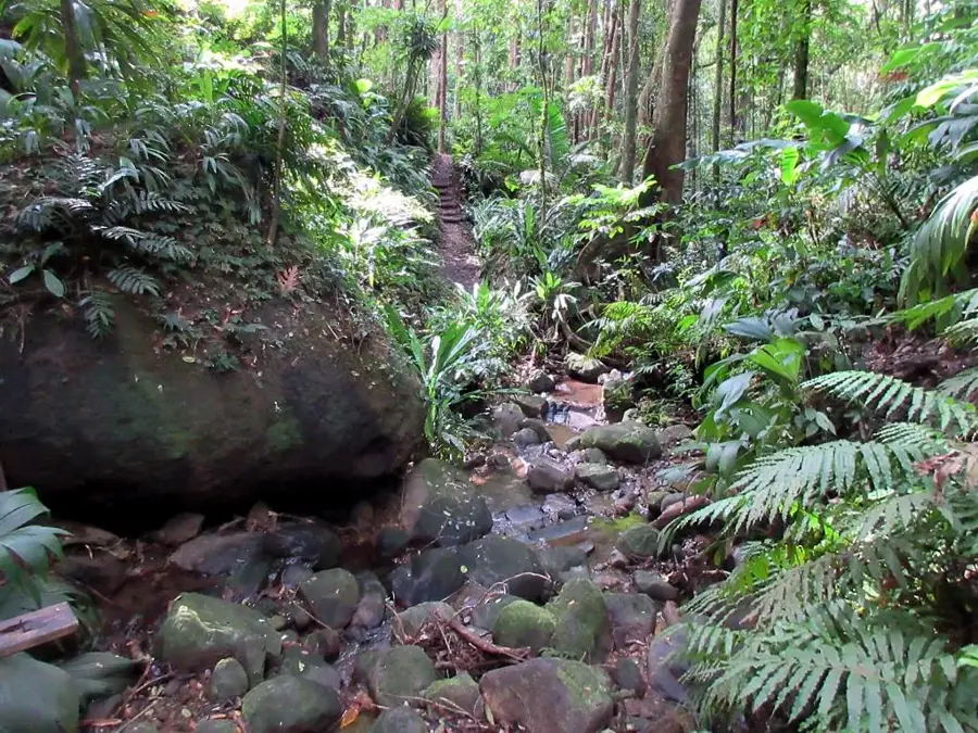
Fort Duvernette is a remarkable defensive fortification perched atop a massive volcanic rock near Young Island, constructed around 1800. Rising 195 feet (60 meters) sheer from the Caribbean Sea, this dramatic rock formation provided an unparalleled tactical vantage point to defend Calliaqua Bay from naval threats. Reaching the summit requires a climb of 255 steps carved into the stone, leading visitors through lush vegetation to the historical batteries. At the top, several original iron cannons from the Napoleonic era remain in place, overlooking the turquoise waters. The fort has some of the most spectacular panoramic views in the region, encompassing the southern coast of Saint Vincent and the distant Grenadine islands. This site is not only a testament to early 19th-century military engineering but also a geological wonder, showcasing the island's volcanic origins. Accessible only by boat, Fort Duvernette remains a peaceful yet imposing reminder of the strategic struggles that shaped the history of the Windward Islands.
- Location: St. Vincent & Grenadines
- Top sights: Greathead River · Young Island (Grenadines) · LIAT Flight 319
- Nearby: Port Elizabeth (7 km)
Best time to visit & climate
The most pleasant time to visit is Jan–Mar.
| Jan | Feb | Mar | Apr | May | Jun | Jul | Aug | Sep | Oct | Nov | Dec | |
|---|---|---|---|---|---|---|---|---|---|---|---|---|
| Avg °C | 27 | 26 | 27 | 27 | 28 | 28 | 28 | 28 | 28 | 28 | 28 | 27 |
| Rain mm | 27 | 15 | 20 | 21 | 41 | 68 | 74 | 88 | 88 | 107 | 89 | 43 |
📋 Practical info
Geography
Facts
- The fort stands on a massive volcanic plug
- Construction took place during the reign of King George III
- Offers 360-degree views of the southern Grenadines
- Features two batteries with original iron cannons
- The island is located 50 metres off the coast of Young Island
- Steps were laboriously hand-carved into the hard rock
Explore nearby
Notable places around
Route planner — Car & Motorhome
Where do you start? We build the route here, with stops and country notes along the way.
© OpenStreetMap contributors · OpenRouteService
Sights in the town Fort Duvernette (3)
Sights nearby
Frequently asked questions
How do you get to Fort Duvernette?
How many steps do you have to climb?
Is the view worth it?
Do you need a guide?
Is sturdy footwear necessary?
Fort Duvernette: where is it located?
Fort Duvernette: what is there to see?
Fort Duvernette: when is the best time to visit?
Fort Duvernette: why is it worth visiting?
Nearby cities


History & landmarks

Nature
More places