Plizio Visual Lab
Mount Tabac
Weather…
Water temperature…
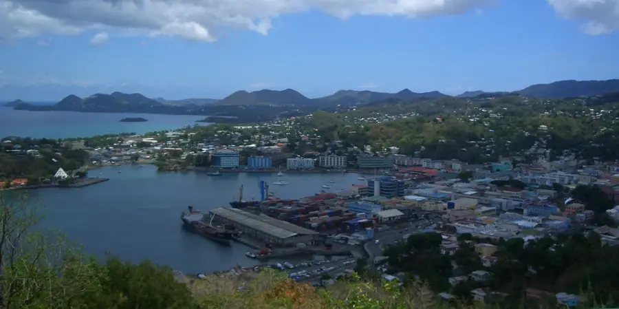
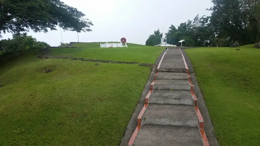
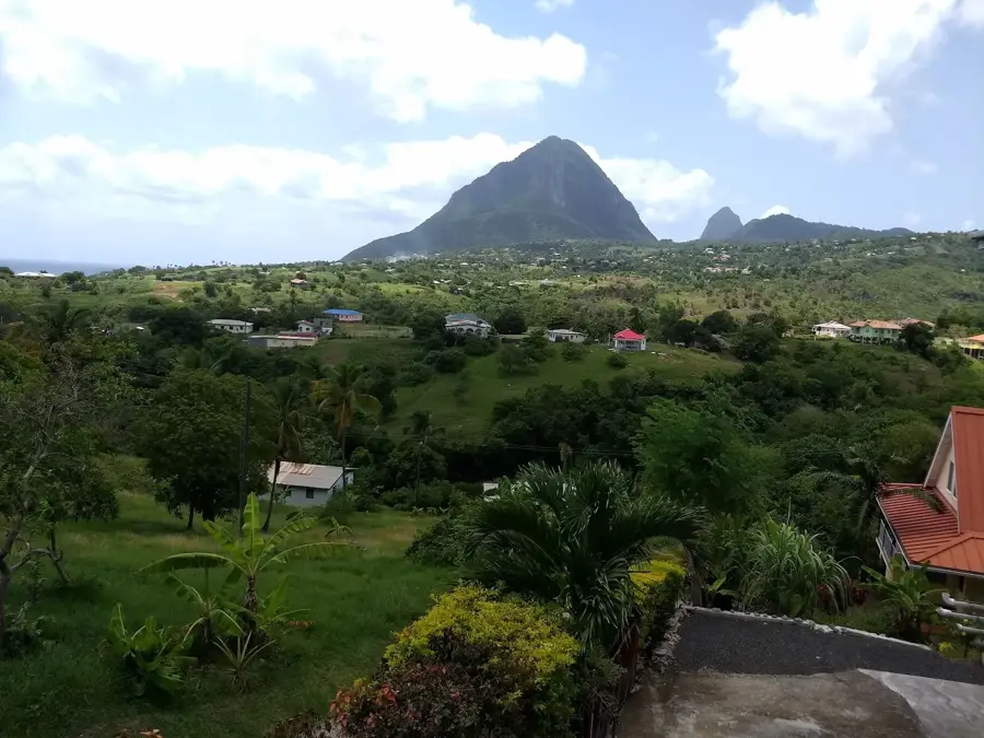
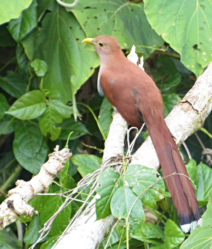
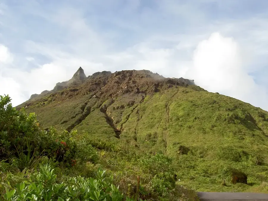
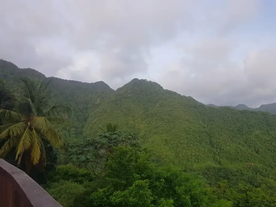
Mount Tabac is a prominent peak rising within the central mountain range of Saint Lucia, reaching an elevation of approximately 680 meters. Situated to the north of the iconic Pitons, it is an integral part of the island's volcanic backbone. The mountain is cloaked in dense, primary rainforest, providing a critical habitat for Saint Lucia's unique flora and fauna, including endemic bird species. The terrain is notably rugged and steeply sloped, making it one of the more challenging and less-traversed peaks on the island. Beyond its ecological value, Mount Tabac serves as a vital water catchment area, with its forested slopes capturing rainfall that feeds the island's river systems. For dedicated hikers and nature enthusiasts, the mountain provides a secluded wilderness experience, far from the main tourist tracks, rewarding visitors with dramatic vistas of the lush island interior and the surrounding Caribbean Sea.
- Location: St. Lucia
- Top sights: Mount Gimie · Migny River · St. Lucia Botanical Gardens
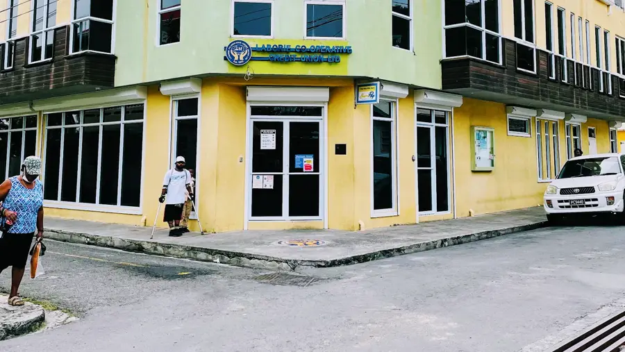
- Nearby: Saltibus (4 km)
Best time to visit & climate
The most pleasant time to visit is Jan–Mar.
| Jan | Feb | Mar | Apr | May | Jun | Jul | Aug | Sep | Oct | Nov | Dec | |
|---|---|---|---|---|---|---|---|---|---|---|---|---|
| Avg °C | 26 | 26 | 26 | 27 | 28 | 28 | 28 | 28 | 29 | 28 | 28 | 27 |
| Rain mm | 68 | 44 | 48 | 97 | 102 | 136 | 154 | 180 | 182 | 189 | 159 | 85 |
📋 Practical info
Geography
Facts
- The peak reaches an elevation of about 678 meters
- Located within the Pitons Management Area UNESCO site
- The name refers to historical tobacco cultivation
- Offers a direct line of sight to Gros Piton
- Slopes are covered with tropical dry forest vegetation
- Important nesting site for birds of prey like hawks
Explore nearby
Notable places around
Route planner — Car & Motorhome
Where do you start? We build the route here, with stops and country notes along the way.
© OpenStreetMap contributors · OpenRouteService
Sights in the town Mount Tabac (3)
Sights nearby
Frequently asked questions
How difficult is the climb up Mount Tabac?
What do you see from the summit?
Is there an official hiking trail?
How long does the tour take?
What should I definitely pack?
Mount Tabac: where is it located?
Mount Tabac: what is there to see?
Mount Tabac: when is the best time to visit?
Mount Tabac: why is it worth visiting?

Nearby cities