Plizio Visual Lab
Canaries River
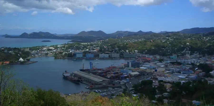
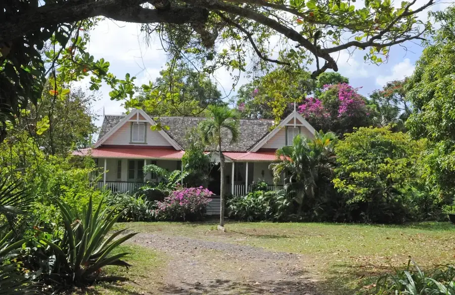
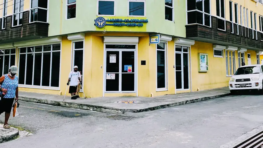
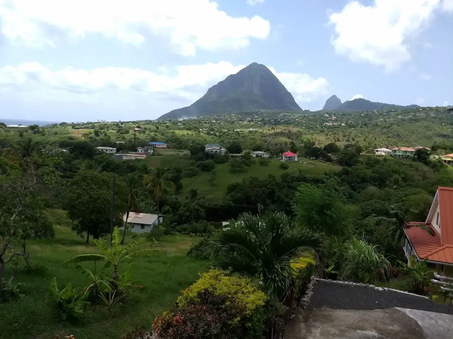
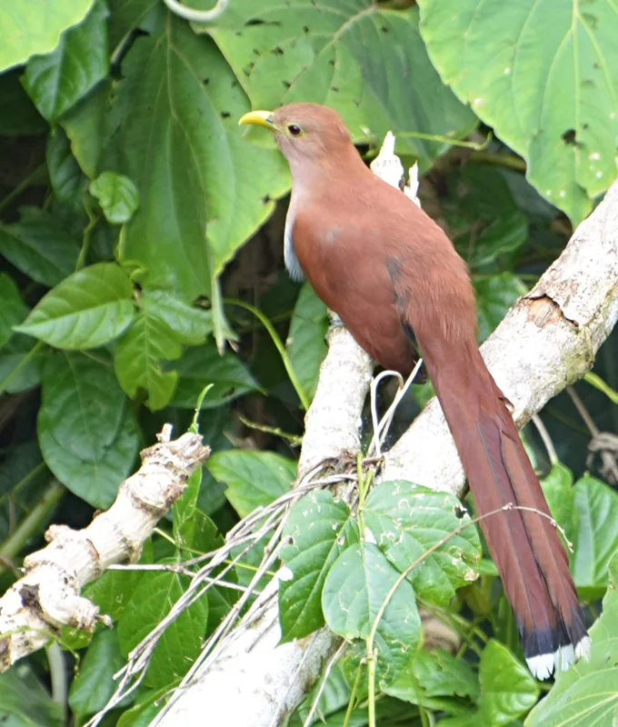
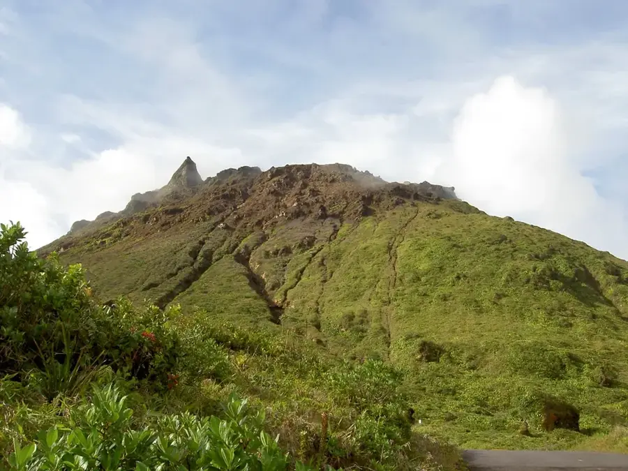
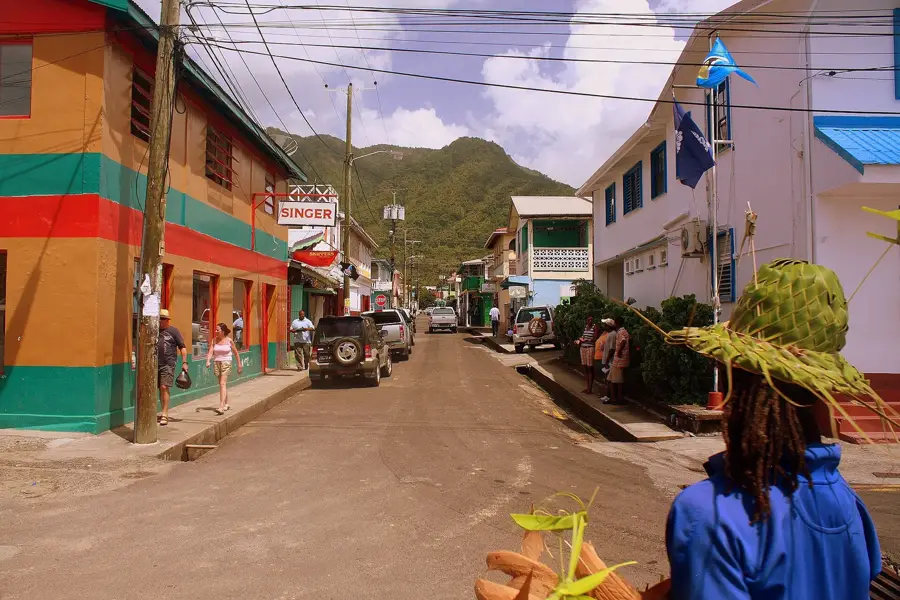
The Canaries River is a vital geographical feature of Saint Lucia's rugged west coast, snaking through the lush landscapes of the Canaries district. The river's path is defined by the island's dramatic volcanic topography, with steep, verdant hills rising sharply from its banks. It flows directly through the coastal village of Canaries, providing a natural focal point for the local community and sustaining the dense tropical vegetation that characterizes this part of the island. Historically, the river was central to the area's agriculture and daily life, and today it remains a serene example of the Caribbean's untouched natural watercourses. The surrounding area provides glimpses into the island's geological past, where the volcanic soil and frequent rainfall create a spirited ecosystem. For those looking to escape the busier tourist hubs, the river provides an authentic experience of Saint Lucian nature, with its dark volcanic stones and clear, cooling waters flowing toward the Caribbean Sea.
- Location: St. Lucia
- Top sights: Canaries, Saint Lucia · Canaries District · La Verdure River
- Nearby: Anse La Raye Inland (4 km)
Best time to visit & climate
The most pleasant time to visit is Jan–Mar.
| Jan | Feb | Mar | Apr | May | Jun | Jul | Aug | Sep | Oct | Nov | Dec | |
|---|---|---|---|---|---|---|---|---|---|---|---|---|
| Avg °C | 26 | 26 | 26 | 27 | 28 | 28 | 28 | 28 | 29 | 28 | 28 | 27 |
| Rain mm | 68 | 44 | 48 | 97 | 102 | 136 | 154 | 180 | 182 | 189 | 159 | 85 |
📋 Practical info
Geography
Facts
- Originates near the vicinity of Mount Gimie
- Traverses terrain with pronounced volcanic features
- The mouth forms a natural harbor for small boats
- Historically used to supply sugar cane plantations
- Features pristine natural swimming pools in upper reaches
- Key supplier of freshwater for the western coast
Explore nearby
Notable places around
Route planner — Car & Motorhome
Where do you start? We build the route here, with stops and country notes along the way.
© OpenStreetMap contributors · OpenRouteService
Sights in the town Canaries River (3)
Sights nearby
Frequently asked questions
Where does the Canaries River empty?
Is the river photogenic?
Can you experience local culture at the river?
Is the terrain around the river steep?
Are there crocodiles there?
Canaries River: where is it located?
Canaries River: what is there to see?
Canaries River: when is the best time to visit?
Canaries River: why is it worth visiting?

Nearby cities