Plizio Visual Lab
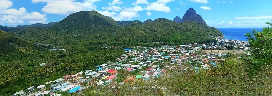
Petit Piton
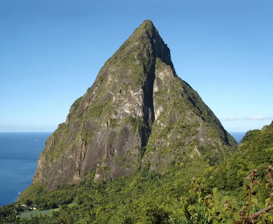
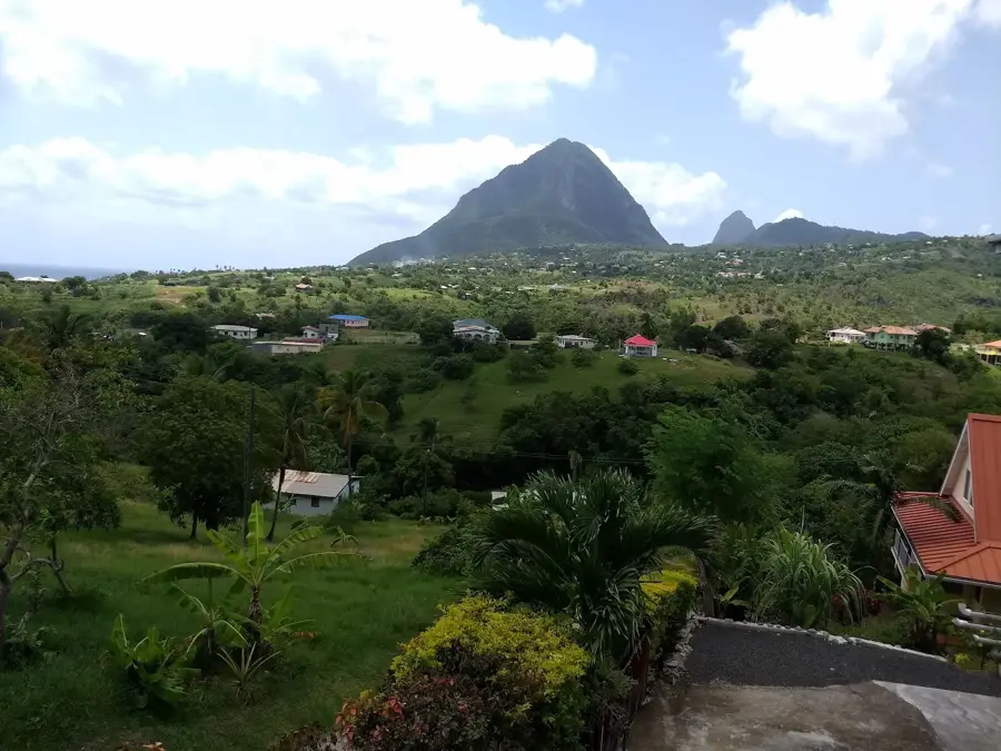
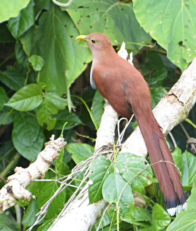
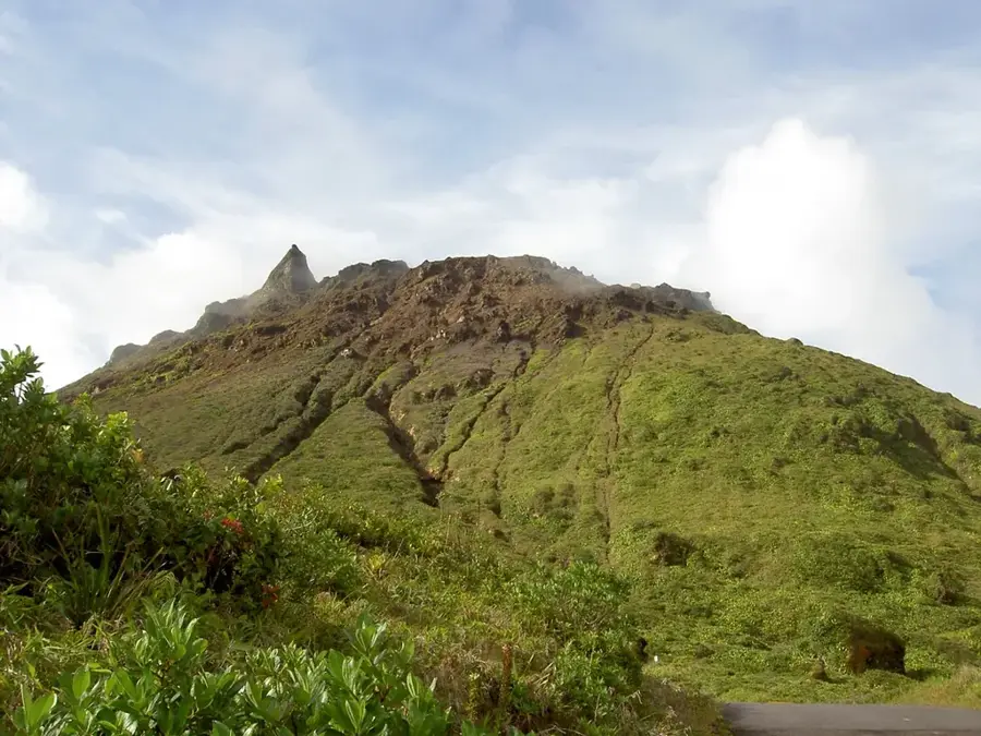
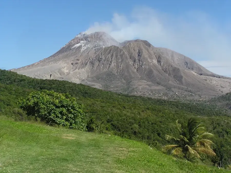
Petit Piton is the sharper and more daunting of the two world-famous volcanic spires on Saint Lucia's southwestern coast. Reaching an elevation of 743 meters, it is composed of dacite rock and forms half of the Pitons Management Area, a UNESCO World Heritage site. While shorter than Gros Piton, its slopes are significantly steeper, rising nearly vertically from the Caribbean Sea near the town of Soufriere. The mountain is covered in resilient tropical forest that clings to its jagged ridges, providing a habitat for diverse flora and endemic bird species. Climbing Petit Piton is considered a technical challenge rather than a standard hike, often requiring ropes and professional guidance due to the sheer precipices. Historically and geologically, it represents the core of an ancient volcanic complex. Its dramatic silhouette is a national symbol for the island, appearing on the national flag and serving as the primary inspiration for Saint Lucia's global tourism identity.
- Location: St. Lucia
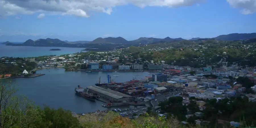
- Top sights: Lesser Antillean dry forests · Sulphur Springs, Saint Lucia · Soufrière, Saint Lucia
- Nearby: Canaries North (4 km)
Best time to visit & climate
The most pleasant time to visit is Jan–Mar.
| Jan | Feb | Mar | Apr | May | Jun | Jul | Aug | Sep | Oct | Nov | Dec | |
|---|---|---|---|---|---|---|---|---|---|---|---|---|
| Avg °C | 26 | 26 | 26 | 27 | 28 | 28 | 28 | 28 | 29 | 28 | 28 | 27 |
| Rain mm | 68 | 44 | 48 | 97 | 102 | 136 | 154 | 180 | 182 | 189 | 159 | 85 |
📋 Practical info
Geography
Facts
- Maximum height of 743 meters above sea level.
- Significantly steeper profile than Gros Piton.
- Part of the UNESCO Pitons Management Area.
- Contains pre-Columbian Carib petroglyphs.
- Formed as a volcanic plug millions of years ago.
- Ascent often requires technical climbing skills.
Explore nearby
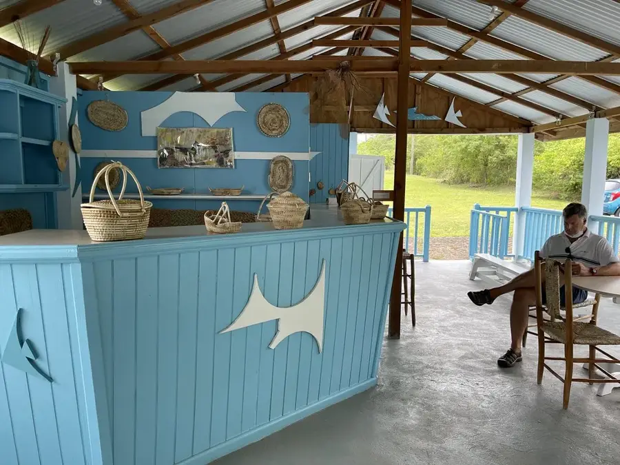
Notable places around
Route planner — Car & Motorhome
Where do you start? We build the route here, with stops and country notes along the way.
© OpenStreetMap contributors · OpenRouteService
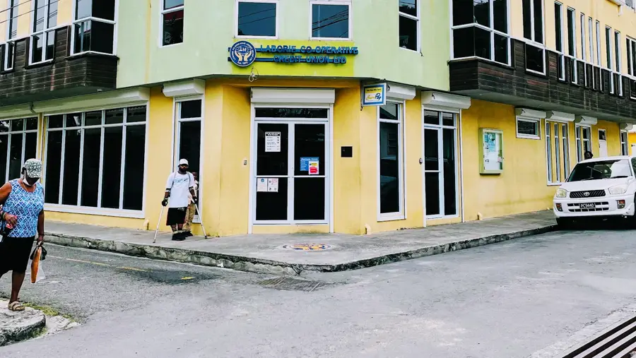
Sights in the town Petit Piton (3)
Sights nearby
Frequently asked questions
Is Petit Piton harder to climb than Gros Piton?
Are there official guides for Petit Piton?
How dangerous is the climb?
How long does the tour take?
Is there a viewing platform at the top?
Petit Piton: where is it located?
Petit Piton: what is there to see?
Petit Piton: when is the best time to visit?
Petit Piton: why is it worth visiting?

Nearby cities