Plizio Visual Lab

Oțelu Roșu

Plizio editorial teamData Sources
City
—°1328
Oțelu Roșu (Romania)
ℹ️

Practical info — Oțelu Roșu

🌤 Weather — 5 days

📍 Nearby

Sights nearby

💡 Tips

  • Use the town as a strategic base for hiking trips into the Poiana Ruscă Mountains.
  • Visit the local market on Saturday mornings to find the freshest produce from the Bistra Valley.
  • Notice the city's industrial heritage, which has shaped the architecture and local life for decades.
  • Plan a trip to the nearby Gura Apelor lake for impressive scenery.

🍽 Food

🍽
Banat Papricaș

A hearty stew with plenty of paprika, often served with chicken and flour dumplings.

🍽
Banat Răchie

The local plum brandy is strong and often offered as a welcome drink.

🍽
Fresh mountain cheese

Buy sheep cheese from the surrounding area, which has a particularly savory flavor.

🛍 Shopping · 🧘 Quiet spots

🛍
Central Market

A meeting point for producers from the Bistra Valley; good for honey and homemade jams.

🛍
Traditional Banat fabrics

Look for hand-woven textiles typical of the western part of Romania.

🧘
Gura Jgheabului area

This recreation zone on the outskirts is a quiet spot for nature walks.

🧘
Bistra River Promenade

The less-trafficked sections along the river offer a relaxing atmosphere.

Highlights of 2026

1

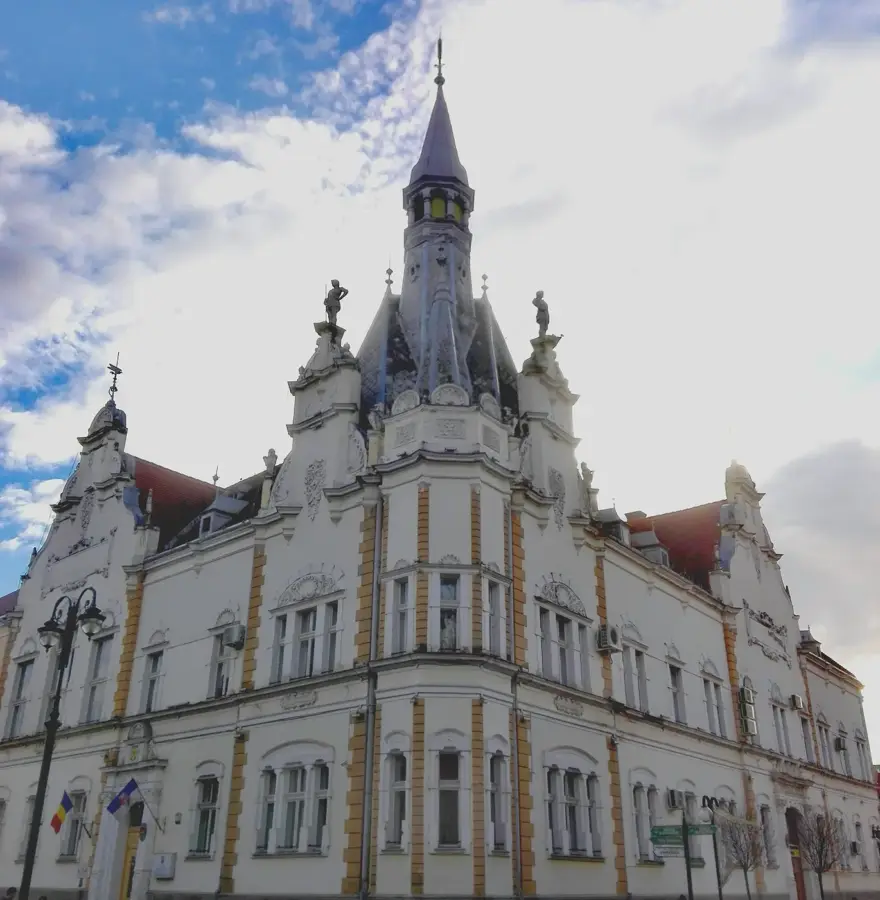
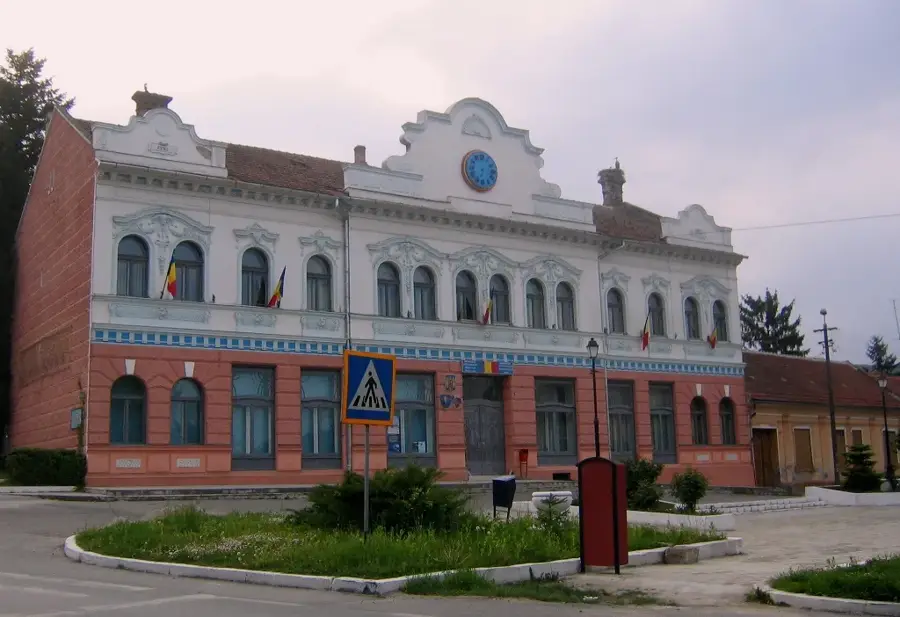
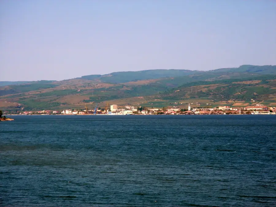
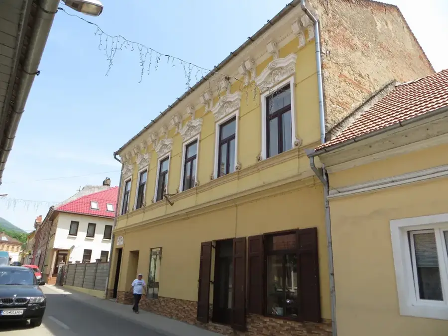
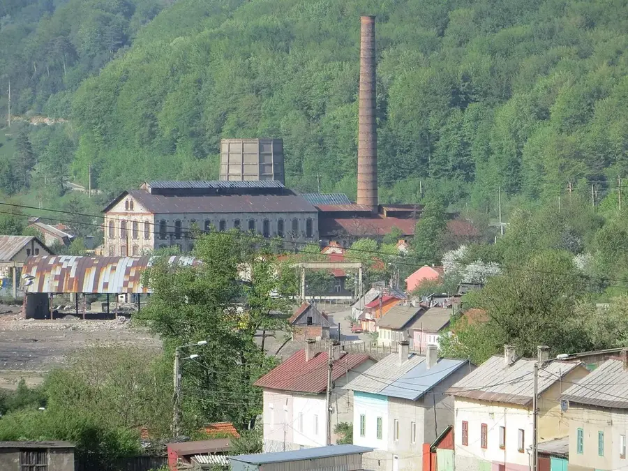
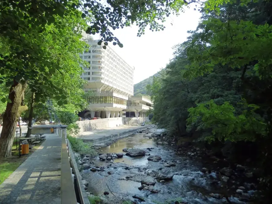
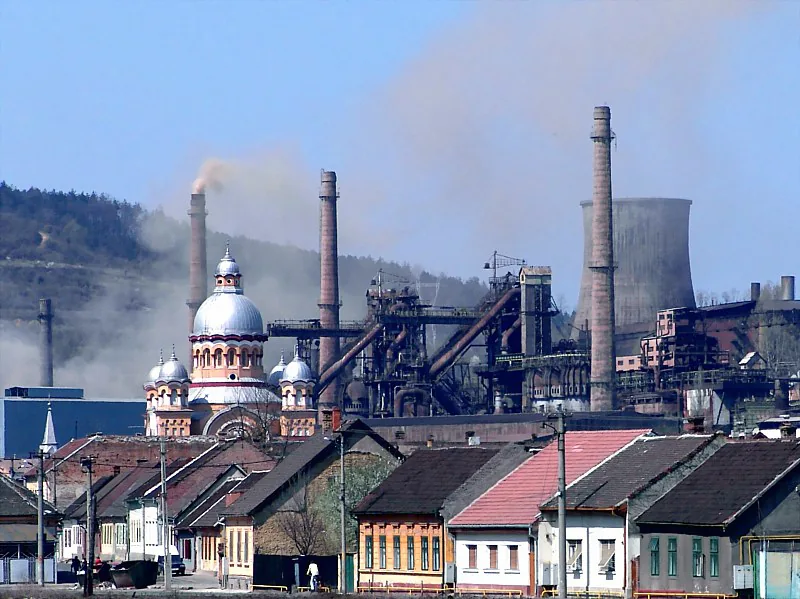
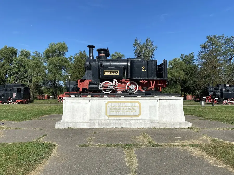
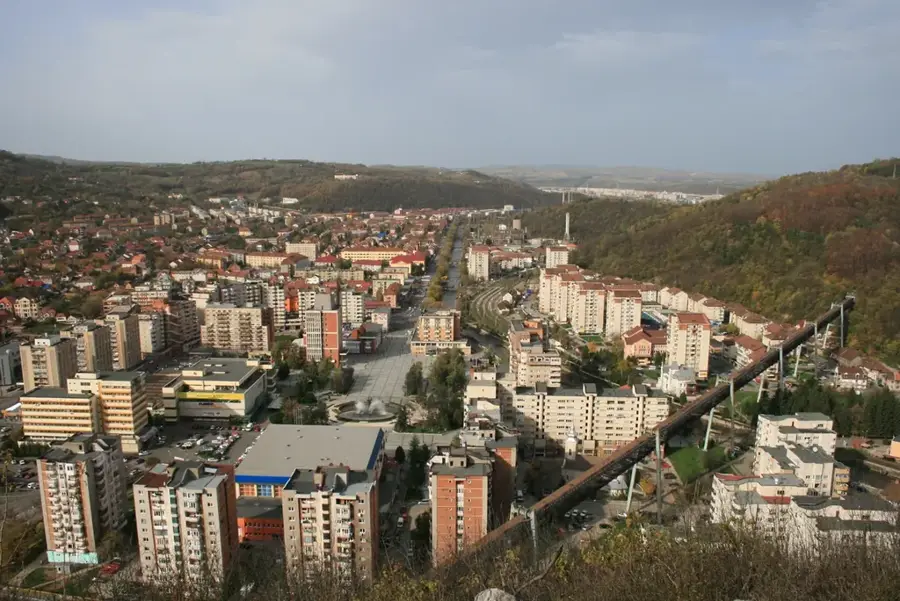
Ruga de la Oțelu Roșu festival returns in May 2026

The town of Oțelu Roșu is hosting the traditional Ruga de la Oraș festival from May 21 to 24, 2026. The event features four days of performances by top artists and cultural activities in the city center.

Oțelu Roșu is an industrial town in the historical region of Banat, located in the Bistra River valley, flanked by the Poiana Ruscă and Țarcu Mountains. Its identity is forged in iron and steel, starting in the 1760s when Austrian settlers founded the 'Ferdinandsberg' ironworks. For centuries, the town was a magnet for skilled laborers from across the Austro-Hungarian Empire, creating a multicultural community. During the socialist period, the town was renamed Oțelu Roșu ('Red Steel') and saw a massive expansion of its metallurgical facilities, becoming a cornerstone of the national heavy industry. The town's layout reflects this history, with old industrial quarters and workers' settlements coexisting with more modern structures. Today, while the large-scale steel industry has faced challenges, the town remains the most important urban center in the upper Bistra valley. Its geographic position makes it a good base for exploring the pristine mountain landscapes of the Southern Carpathians, offering a striking contrast between its rugged industrial heritage and the lush, untouched nature that surrounds it.

Best time to visit & climate

The most pleasant time to visit is Jun–Aug.

JanFebMarAprMayJunJulAugSepOctNovDec
Avg °C-4-228131719201494-2
Rain mm5249566796106936964655654

Geography

Population
11,482
Coordinates
45.53333, 22.36667

Facts

  • Founded as Ferdinandsberg by German metallurgical workers
  • Steel production has been the main industry for 250 years
  • Located on the road connecting Banat and Transylvania
  • The town was renamed 'Red Steel' in 1948
  • Surrounded by over 1,000 meters high mountain peaks
  • The Bistra River provides water for local hydro-power plants

Explore nearby

Notable places around

Route planner — Car & Motorhome

Where do you start? We build the route here, with stops and country notes along the way.

Vehicle
Only stops with (optional):

© OpenStreetMap contributors · OpenRouteService

Sights in the town Oțelu Roșu (3)

Oțelu Roșu Heroes' Monument🏺 historical

This monument honors the memory of the city's soldiers who fought in the great wars of the 20th century.

'Tiberiu Boscaiu' Literary Geography Museum🏛 museum

A specialized museum exploring the connection between literature and geography.

🕒 unknown

Biserica Pogorârea Sfântului Duh📍 landmark

A local Christian place of worship dedicated to the Descent of the Holy Spirit.

Frequently asked questions

What was Oțelu Roșu known for?
The town has a long industrial tradition in iron and steel processing in the Banat region.
How do you reach Poiana Mărului from here?
Poiana Mărului is located about 20 km south and is reachable via a scenic mountain road.
Are there lakes in the area?
Yes, the Gura Golului reservoir is a popular destination for fishing and relaxation.
Is hiking possible nearby?
The Țarcu Mountains offer mountain trails with impressive panoramas for nature lovers.
What does the name 'Oțelu Roșu' mean?
It means 'Red Steel', a name from the communist era referring to the local steel industry.
Oțelu Roșu: where is it located?
Oțelu Roșu is located in Caraș-Severin, Romania.
Oțelu Roșu: what is there to see?
Highlights include Oțelu Roșu Heroes' Monument, 'Tiberiu Boscaiu' Literary Geography Museum, Biserica Pogorârea Sfântului Duh.
Oțelu Roșu: when is the best time to visit?
The most pleasant time to visit is Jun, Aug.
Oțelu Roșu: why is it worth visiting?
Oțelu Roșu is an industrial town in the historical region of Banat, located in the Bistra River valley, flanked by the Poiana Ruscă and Țarcu Mountains.
View on map → The Top 50 Attractions → OpenStreetMap →
Europe
Explore with Plizio Discover more places in Europe
More places in Romania →

Nearby cities

History & landmarks

More places