Plizio Visual Lab
Țibleș Peak
Weather…
Water temperature…
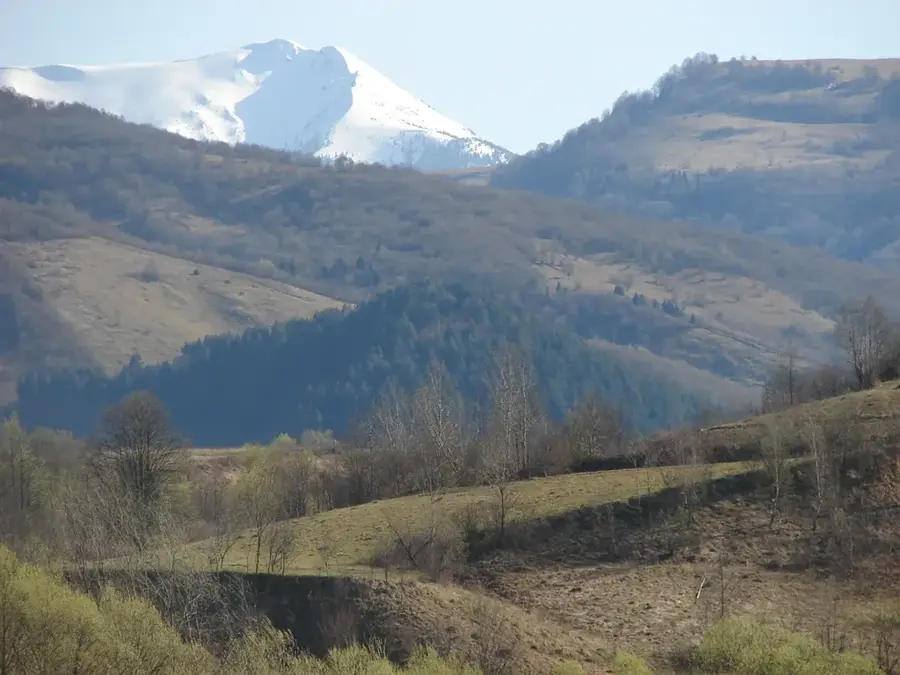
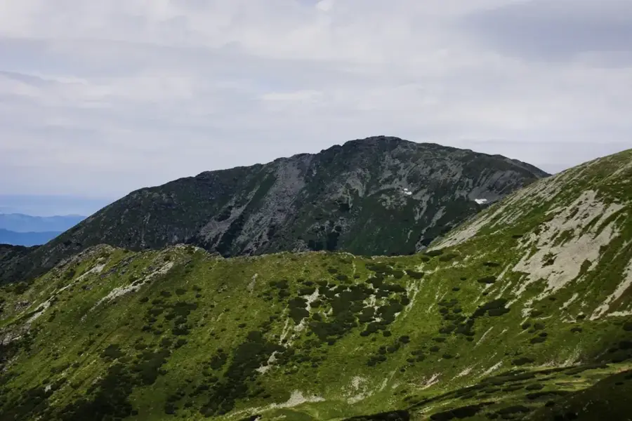
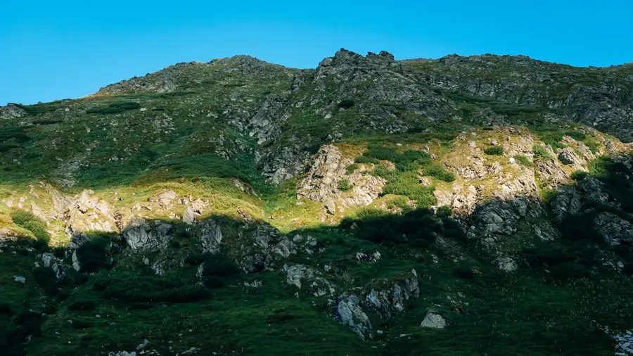
Țibleș Peak is the highest point of the Țibleș Mountains, reaching an elevation of 1839 meters in the Eastern Carpathians of Romania. Located on the border between Maramureș and Bistrița-Năsăud counties, the peak forms a distinctive triple-summit area together with its neighbors, Bran and Arcer. Geologically, the Țibleș massif is composed of igneous rocks, primarily dacites and andesites, which originated from volcanic intrusions during the Neogene period. Unlike the smoother silhouettes of surrounding ranges, Țibleș Peak exhibits a rugged, alpine character with steep slopes and extensive scree fields. Historically, the isolation of these mountains and their dense forests made them a sanctuary for shepherds and various resistance groups throughout the centuries. The summit's vegetation belongs to the subalpine zone, characterized by dwarf mountain pines and rare high-altitude flowers that colonize the rocky terrain. The summit gives a panoramic 360-degree panorama that, in optimal conditions, extends from the Rodna Mountains to the Călimani massif. The ascent is physically demanding but rewards hikers with untouched nature and profound silence. The Țibleș Mountains are also noted for their rich fauna, including significant populations of brown bears and Carpathian deer.
- Location: Bistrița-Năsăud, Romania
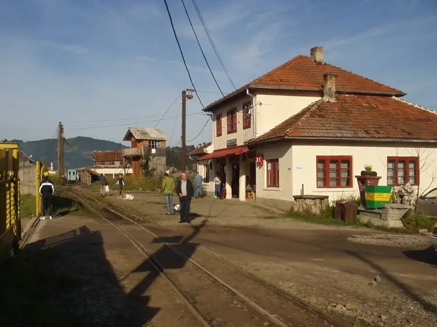
- Nearby: Moisei (19 km)
Best time to visit & climate
The most pleasant time to visit is Jun–Aug.
| Jan | Feb | Mar | Apr | May | Jun | Jul | Aug | Sep | Oct | Nov | Dec | |
|---|---|---|---|---|---|---|---|---|---|---|---|---|
| Avg °C | -6 | -4 | 1 | 7 | 12 | 16 | 18 | 18 | 13 | 7 | 2 | -4 |
| Rain mm | 49 | 49 | 61 | 60 | 102 | 113 | 108 | 75 | 68 | 66 | 56 | 55 |
📋 Practical info
Geography
Facts
- Țibleș Peak is the highest elevation in the Țibleș range, standing at 1839 meters.
- It forms a prominent summit cluster with Arcer Peak (1830 m) and Bran Peak (1829 m).
- Geologically, the Țibleș massif is a massive volcanic intrusion known as a laccolith.
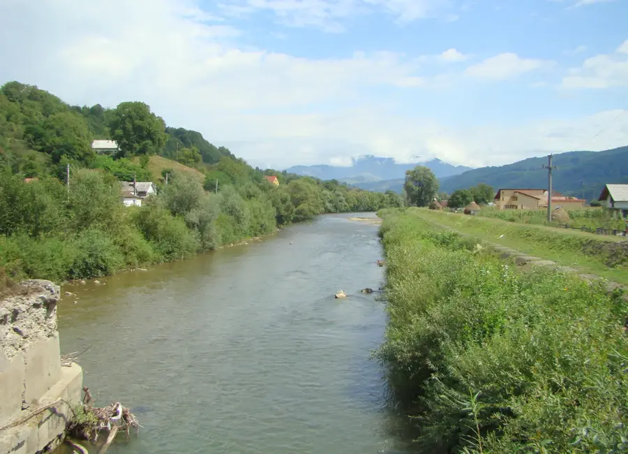
- The mountain range serves as a drainage divide between the Lăpuș and Someșul Mare river basins.
- A large metal cross stands at the summit, serving as a landmark and a religious monument.
- The area is home to one of the highest densities of brown bears in the Eastern Carpathians.
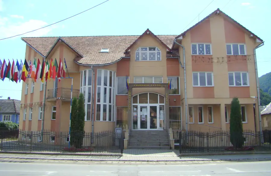
Explore nearby
Notable places around
Route planner — Car & Motorhome
Where do you start? We build the route here, with stops and country notes along the way.
© OpenStreetMap contributors · OpenRouteService
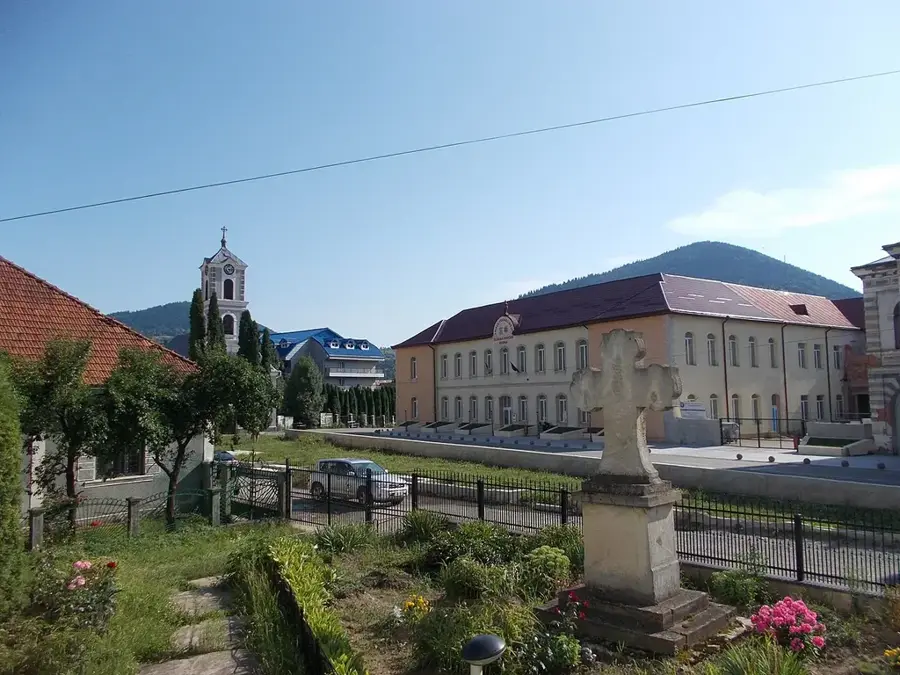
Sights nearby
Frequently asked questions
What is special about the Țibleș peak?
Where does the hike start from?
How high is the peak?
Are there bears in the area?
Can the trail be done in a single day?
Țibleș Peak: where is it located?
Țibleș Peak: when is the best time to visit?
Țibleș Peak: why is it worth visiting?

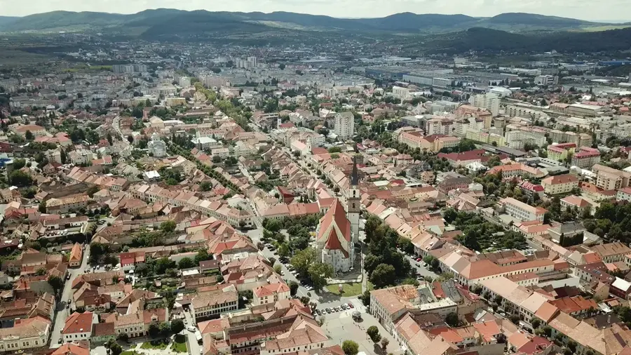
Nearby cities

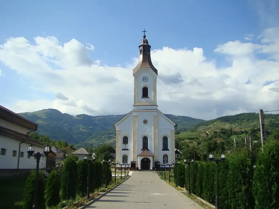
History & landmarks

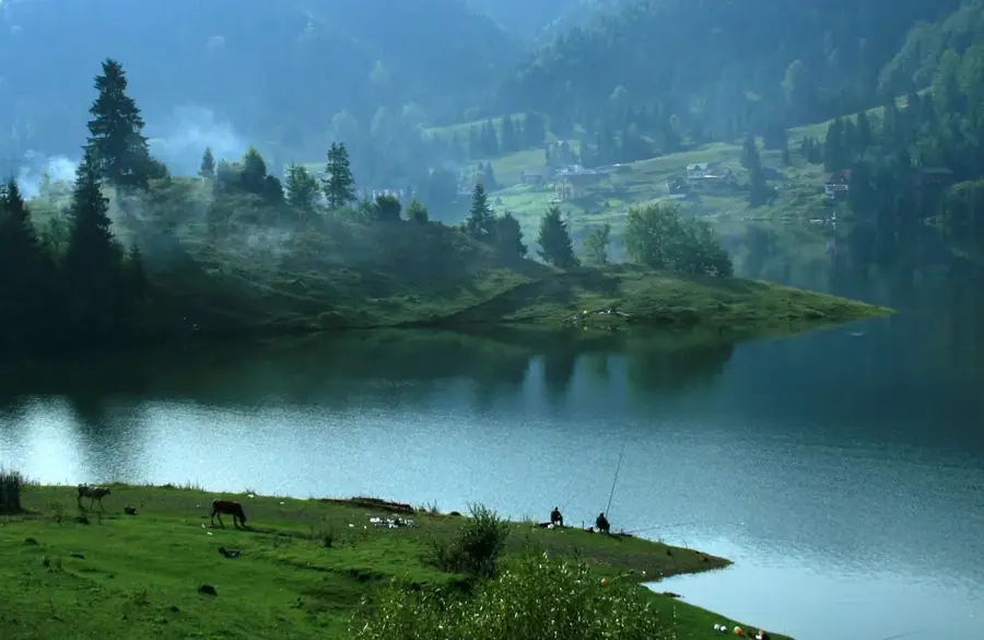
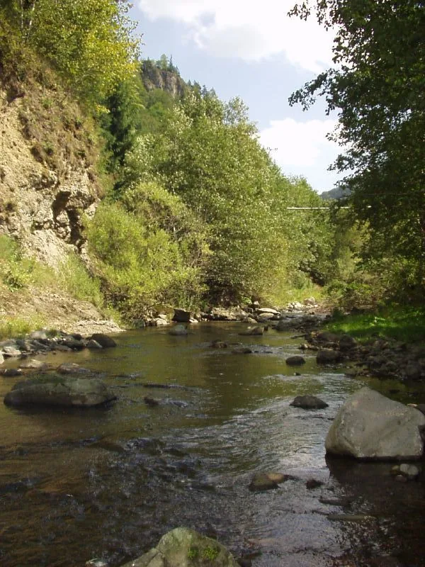
Nature
More places