Plizio Visual Lab
Călimani Mountains
Weather…
Water temperature…
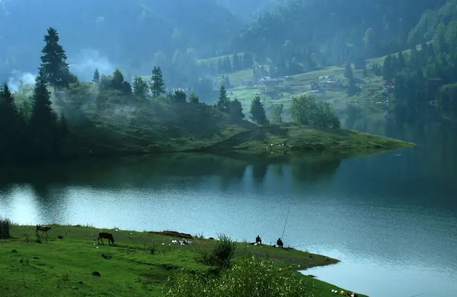
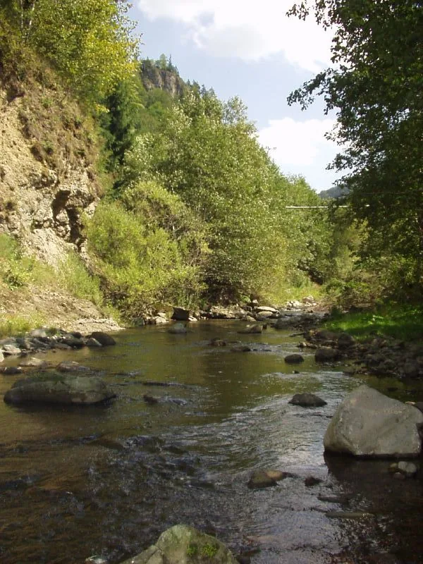
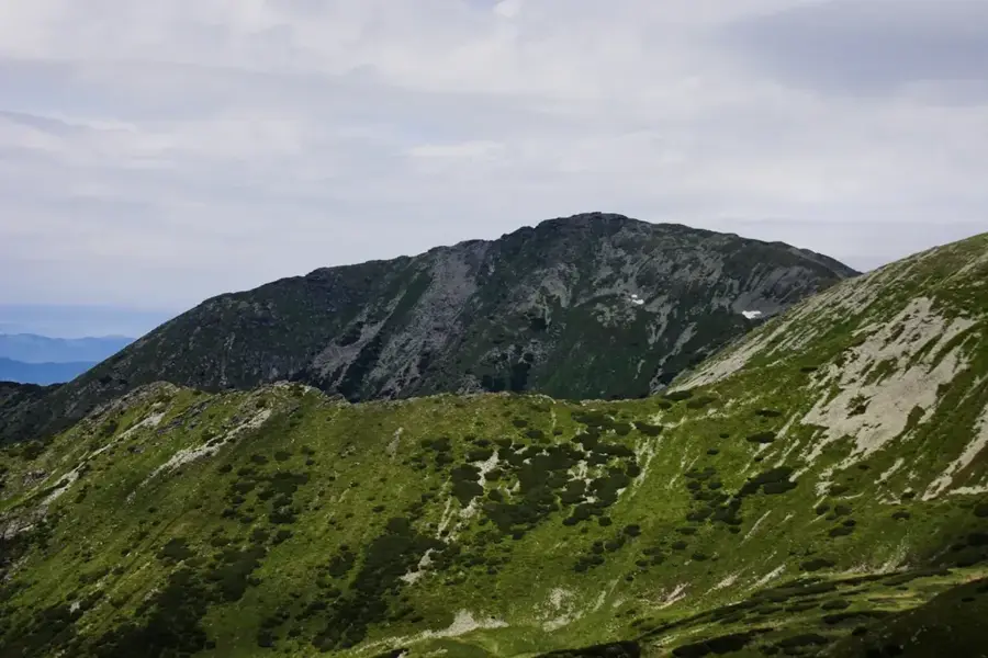
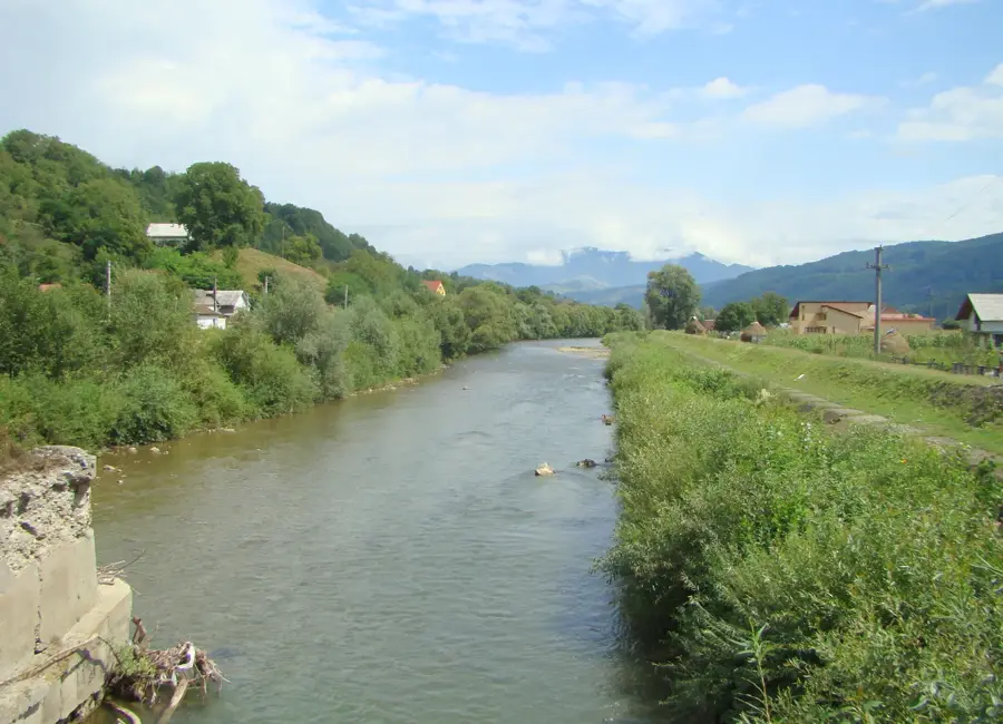
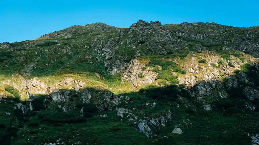
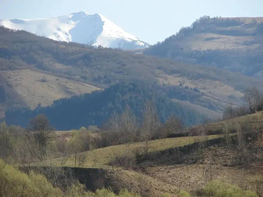
The Călimani Mountains are the largest volcanic massif in Romania, forming part of the volcanic arc of the Eastern Carpathians. Spanning the counties of Suceava, Mureș, Bistrița-Năsăud, and Harghita, they are renowned for their massive scale and pristine wilderness. The defining feature of the massif is a giant volcanic caldera with a diameter of approximately 10 kilometers, one of the largest in Europe, surrounded by high peaks including Pietrosul Călimani (2100 m). Geologically, the range consists of andesitic and dacitic rocks formed by massive eruptions during the Neogene period. A significant historical and environmental aspect is the large-scale sulfur mining near the Negoiu peak during the communist era, which left profound scars on the landscape that are currently undergoing restoration. The area is protected as the Călimani National Park, housing unique rock formations such as the 'Twelve Apostles,' shaped by long-term erosion. The vegetation comprises vast spruce forests and extensive carpets of dwarf mountain pines at higher altitudes. The mountains provide a critical habitat for brown bears, wolves, and the rare capercaillie, offering hikers an extensive network of trails through a nearly uninhabited wilderness.
- Location: Bistrița-Năsăud, Romania
- Nearby: Toplița (23 km)
Best time to visit & climate
The most pleasant time to visit is Jul–Sep.
| Jan | Feb | Mar | Apr | May | Jun | Jul | Aug | Sep | Oct | Nov | Dec | |
|---|---|---|---|---|---|---|---|---|---|---|---|---|
| Avg °C | -6 | -4 | 1 | 7 | 12 | 16 | 18 | 18 | 13 | 7 | 2 | -4 |
| Rain mm | 38 | 39 | 48 | 55 | 93 | 113 | 99 | 77 | 58 | 56 | 43 | 43 |
📋 Practical info
Geography
Facts
- The Călimani Mountains contain a volcanic caldera roughly 10 km in diameter, one of Europe's largest.
- Pietrosul Călimani is the highest peak of the massif, reaching an elevation of 2100 meters.
- The 'Twelve Apostles' rock formation features bizarre andesitic shapes created by natural erosion.
- A massive open-pit sulfur mine operated in the heart of the mountains during the 1970s and 80s.
- The range serves as a major drainage divide between the Mureș and Bistrița river basins.
- The mountain pine (Pinus mugo) fields in Călimani are among the most extensive in the Romanian Carpathians.
Explore nearby
Notable places around
Route planner — Car & Motorhome
Where do you start? We build the route here, with stops and country notes along the way.
© OpenStreetMap contributors · OpenRouteService
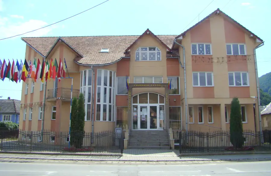
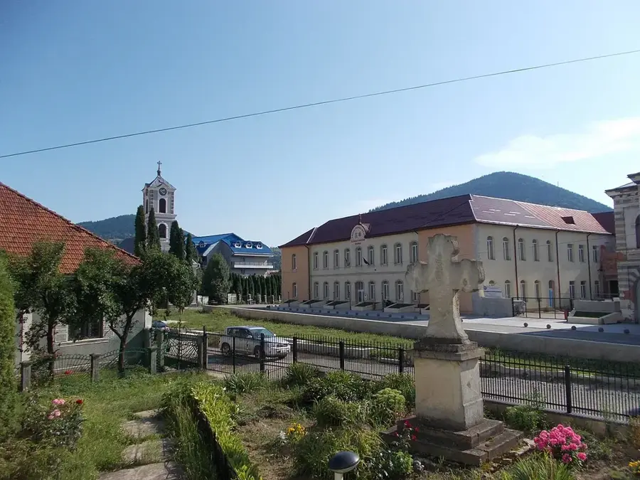
Sights in the town Călimani Mountains (1)
Sights nearby
Frequently asked questions
What is the geological origin of the Călimani Mountains?
Which is the highest peak in Călimani?
What are the '12 Apostles'?
Is the weather dangerous there?
Is there a national park there?
Călimani Mountains: where is it located?
Călimani Mountains: when is the best time to visit?
Călimani Mountains: why is it worth visiting?

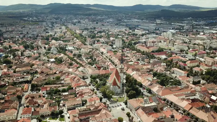
Nearby cities

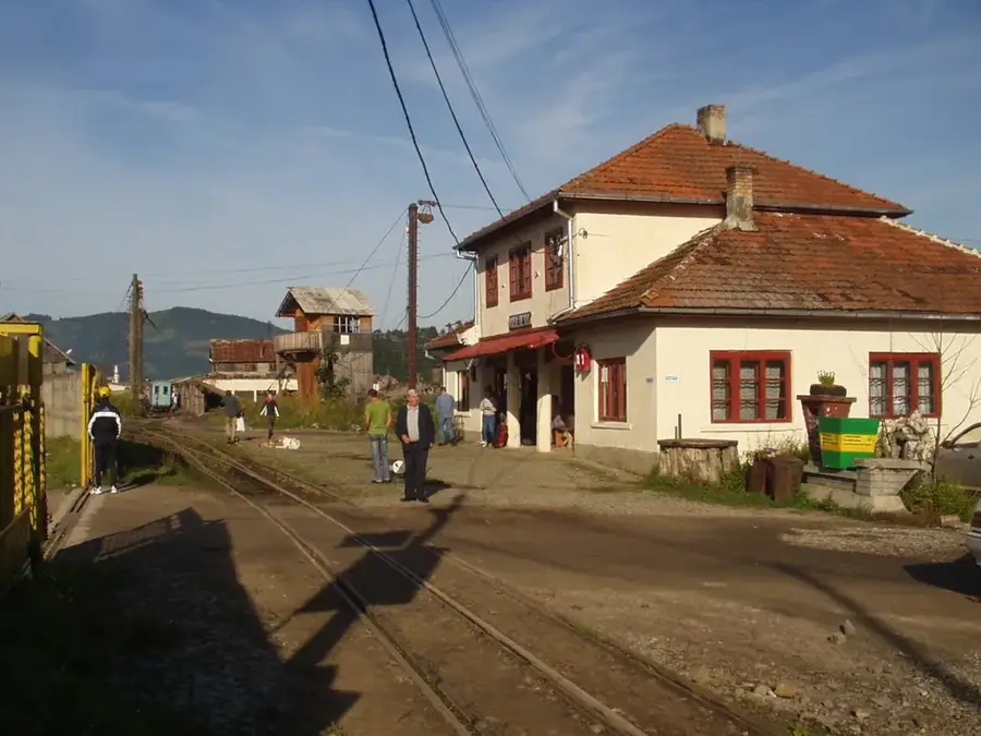
History & landmarks

Nature
More places