Plizio Visual Lab
Serra do Caldeiro

Weather…
Water temperature…
The Serra do Caldeirão, often referred to as Serra do Caldeiro, is an extensive mountain range in southern Portugal that forms the natural border between the Algarve coastal region and the Alentejo plains. With a maximum elevation of 580 meters at the Pelados peak, it is characterized by its vastness and a rugged schist landscape rather than its height. The geology consists almost entirely of schist (xisto), creating a undulating relief with deeply incised valleys. Botanically, the range is dominated by Mediterranean scrub, particularly strawberry trees (medronho) and cork oaks, making the region one of the nation's key cork production areas. Historically, the mountains served as a difficult barrier for invaders coming from the north. Despite its moderate altitude, the range significantly influences the regional climate by trapping moist Atlantic air masses and sheltering the Algarve from cold northern winds, contributing to the distinct microclimates of the south.
- Location: Portugal
- Nearby: Estremoz (44 km)
Best time to visit & climate
The most pleasant time to visit is May, Jun, Sep.
| Jan | Feb | Mar | Apr | May | Jun | Jul | Aug | Sep | Oct | Nov | Dec | |
|---|---|---|---|---|---|---|---|---|---|---|---|---|
| Avg °C | 8 | 9 | 11 | 14 | 18 | 23 | 27 | 27 | 23 | 18 | 11 | 8 |
| Rain mm | 51 | 48 | 59 | 53 | 34 | 11 | 3 | 4 | 25 | 78 | 71 | 55 |
📋 Practical info
Geography
Facts
- The highest peak is Pelados at 580 meters.
- The mountain range stretches for approximately 60 kilometers.
- Geologically, the relief is almost entirely composed of schist.
- The region is famous for the production of Medronho spirit.
- It serves as the boundary between Alentejo and the Algarve.
- Cork oaks (Quercus suber) are the dominant tree species.
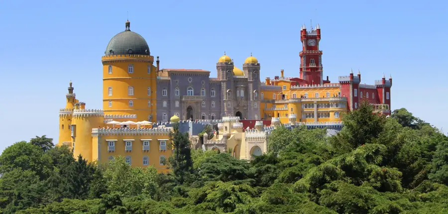
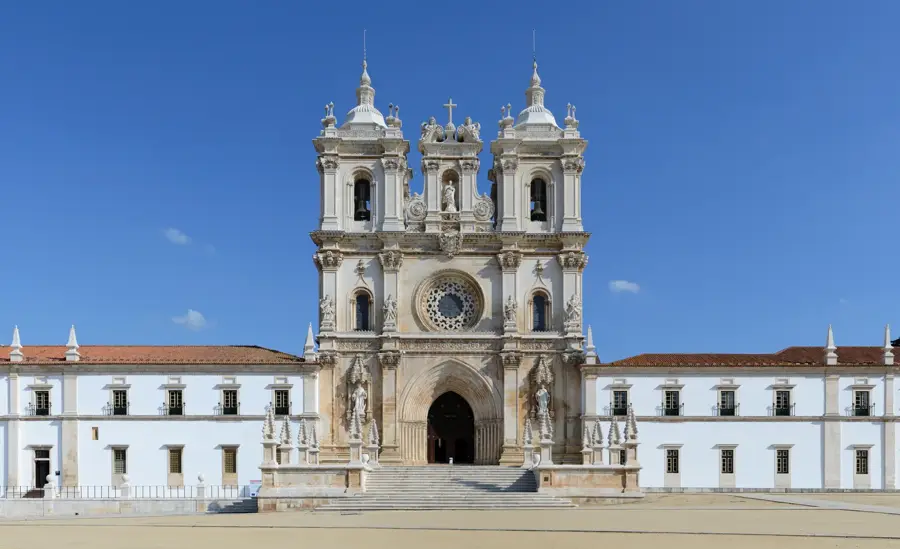
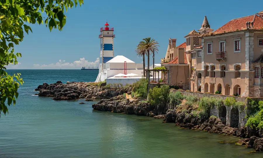
Explore nearby
Notable places around
Route planner — Car & Motorhome
Where do you start? We build the route here, with stops and country notes along the way.
© OpenStreetMap contributors · OpenRouteService
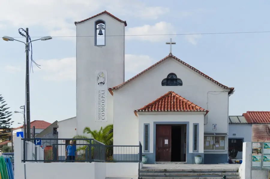
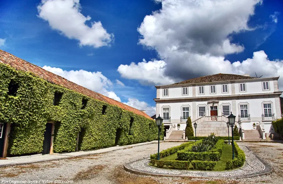
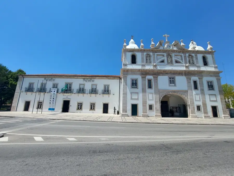
Sights in the town Serra do Caldeiro (1)
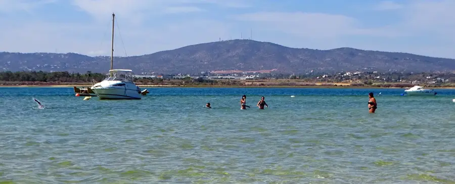
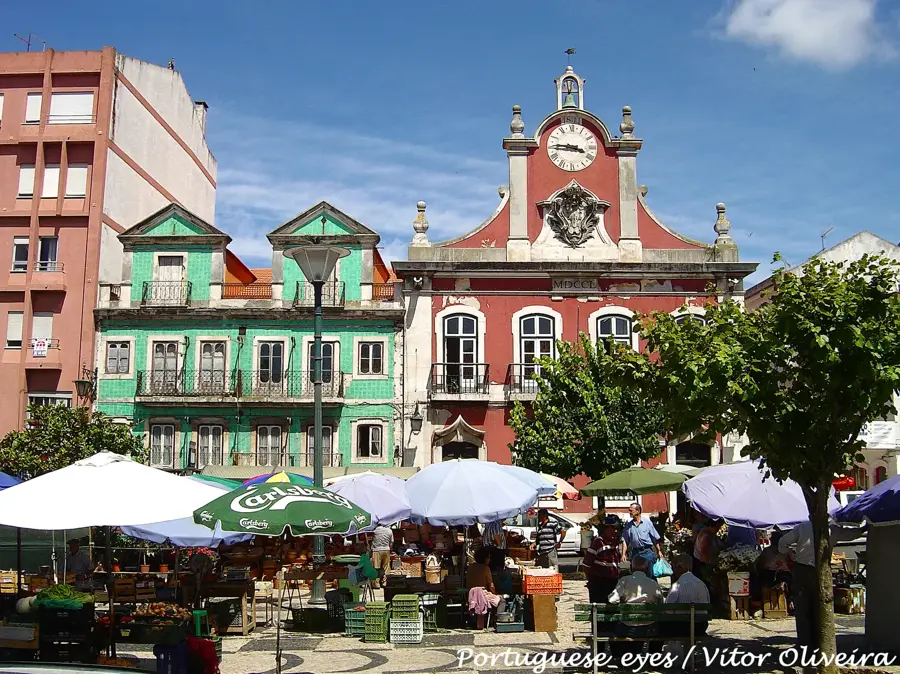
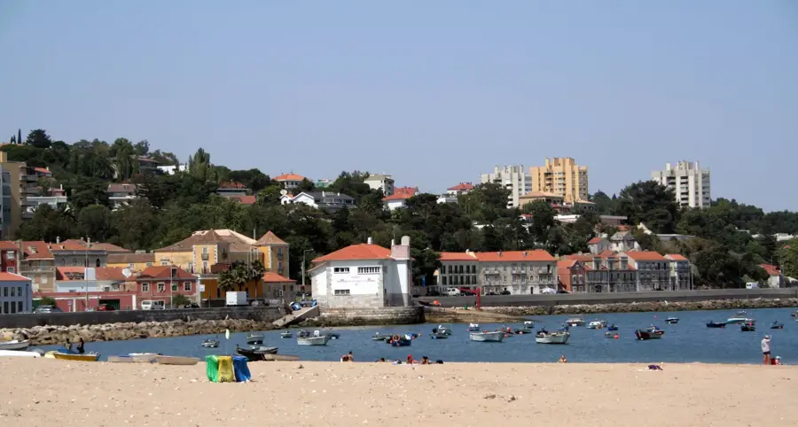
Sights nearby
Frequently asked questions
What is the specialty of Serra do Caldeiro?
Are there cork oaks there?
Which city is nearby?
Can you go bird watching there?
What is the terrain like?
Serra do Caldeiro: where is it located?
Serra do Caldeiro: when is the best time to visit?
Serra do Caldeiro: why is it worth visiting?

Nearby cities
History & landmarks