Plizio Visual Lab
Serra de São Mamede
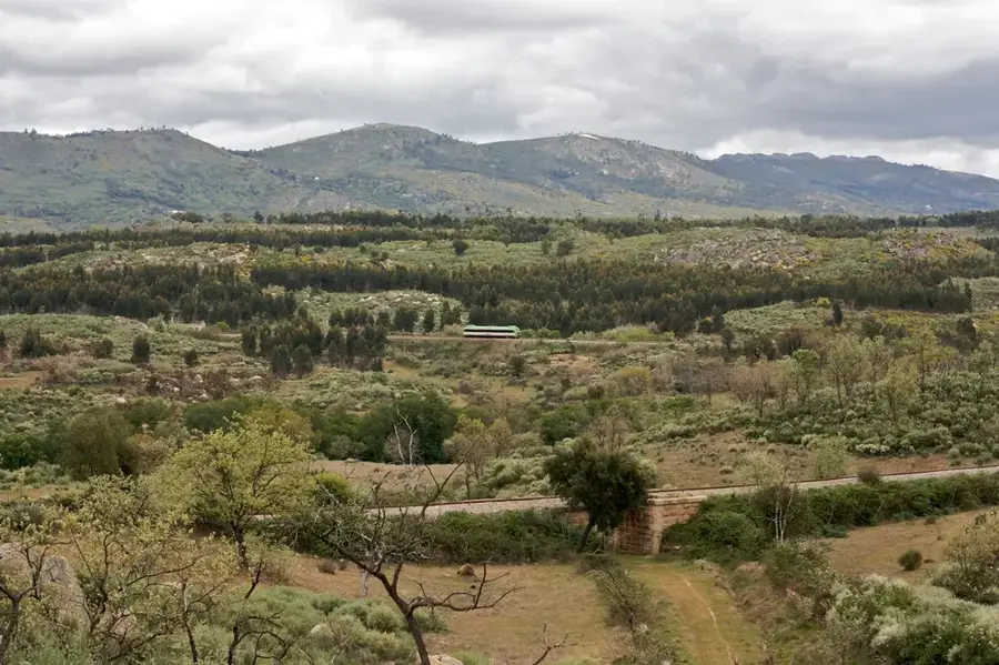
The Serra de São Mamede is a significant mountain relief in eastern Portugal, rising within the Portalegre district as the highest point south of the Tagus River. Reaching a maximum altitude of 1025 meters, it forms an ecological island amidst the rolling plains of the Alentejo. Geologically, the range is distinguished by steep quartzite ridges oriented northwest-southeast, creating striking silhouettes. Because of its height, the Serra intercept more rainfall than the surrounding lowlands, resulting in a cooler, more humid microclimate that supports lush forests of chestnut and oak. Historically, the area is dense with archaeological heritage, featuring the Roman city of Ammaia and the fortified medieval village of Marvão. The Natural Park, established in 1989, preserves this diversity. The territory is also a vital sanctuary for raptors such as the griffon vulture and Bonelli's eagle, which nest in its inaccessible rocky cliffs.
- Location: Portugal
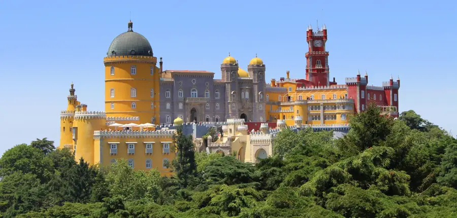
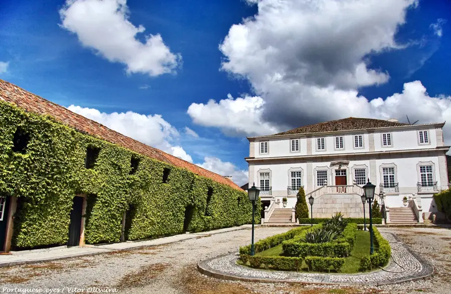
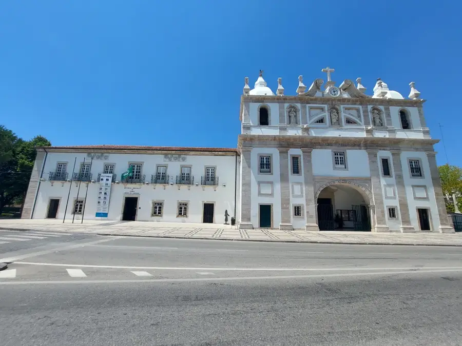
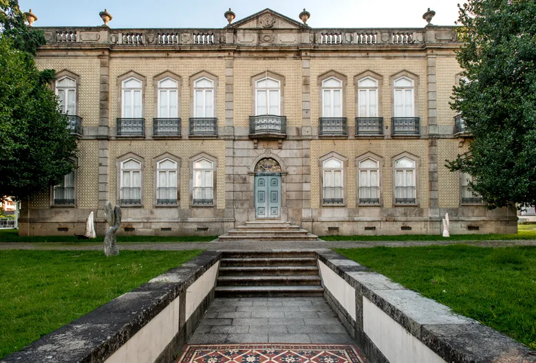
- Top sights: Igreja Matriz · Castelo do Alegrete
- Nearby: Estremoz (50 km)
Best time to visit & climate
The most pleasant time to visit is Jun, Jul, Sep.
| Jan | Feb | Mar | Apr | May | Jun | Jul | Aug | Sep | Oct | Nov | Dec | |
|---|---|---|---|---|---|---|---|---|---|---|---|---|
| Avg °C | 7 | 8 | 11 | 13 | 17 | 22 | 26 | 26 | 23 | 17 | 11 | 7 |
| Rain mm | 82 | 69 | 84 | 71 | 47 | 19 | 7 | 8 | 37 | 111 | 103 | 81 |
📋 Practical info
Geography
Facts
- The highest peak is Pico de São Mamede at 1025m.
- The Natural Park was established in 1989.
- It contains the ruins of the Roman city Ammaia.
- Highest elevation in Portugal south of the Tagus River.
- The Marvão castle sits at an altitude of 860m.
- It is a nesting site for rare birds like the griffon vulture.
Explore nearby
Notable places around
Route planner — Car & Motorhome
Where do you start? We build the route here, with stops and country notes along the way.
© OpenStreetMap contributors · OpenRouteService
Sights in the town Serra de São Mamede (2)
Sights nearby
Frequently asked questions
Where is Serra de São Mamede?
What is the highest point?
Which town is nearby?
Are there rare animals there?
What is the best activity?
Serra de São Mamede: where is it located?
Serra de São Mamede: what is there to see?
Serra de São Mamede: when is the best time to visit?
Serra de São Mamede: why is it worth visiting?

Nearby cities

History & landmarks