Plizio Visual Lab
Dom Luis I Bridge
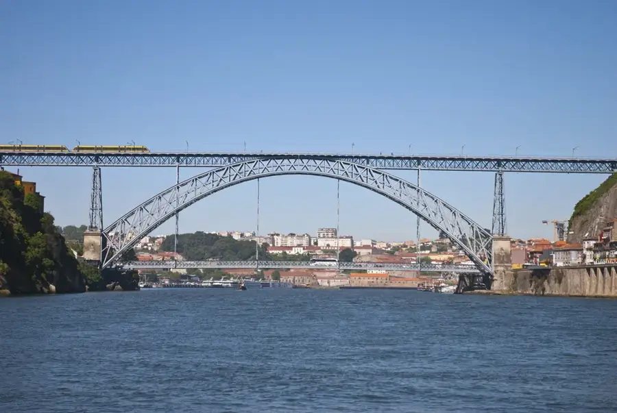
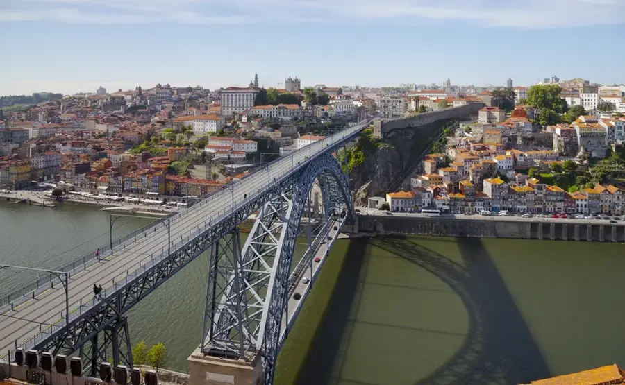
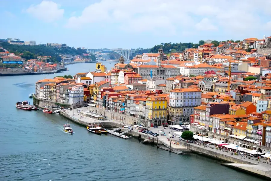
The Dom Luís I Bridge is the most recognizable landmark of Porto, spanning the Douro River to connect the city's historic center with Vila Nova de Gaia. This double-deck iron arch bridge was constructed between 1881 and 1886, based on a design by German engineer Théophile Seyrig, a former business partner of Gustave Eiffel. At the time of its completion, its 172-meter span was the longest of its kind in the world. The bridge is unique for its two levels of traffic: the upper deck now carries the Porto Metro line and pedestrians, while the lower deck is used by road vehicles and pedestrians. The structure is an outstanding example of 19th-century industrial ironwork and has become a focal point for tourism in the region. From the upper deck, visitors can enjoy impressive panoramic views of the Ribeira riverfront and the famous Port wine cellars. Since 1996, the bridge has been part of the UNESCO World Heritage site that encompasses the Historic Centre of Porto, serving as a vital transport link and a symbol of the city's identity.
- Location: Portugal
- Top sights: Alminhas da Ponte · Muro da Ribeira · Muralhas Fernandinas (troço da Ribeira)
Best time to visit & climate
The most pleasant time to visit is Jul–Sep.
| Jan | Feb | Mar | Apr | May | Jun | Jul | Aug | Sep | Oct | Nov | Dec | |
|---|---|---|---|---|---|---|---|---|---|---|---|---|
| Avg °C | 11 | 11 | 12 | 14 | 16 | 18 | 20 | 20 | 19 | 17 | 13 | 11 |
| Rain mm | 138 | 97 | 112 | 91 | 60 | 32 | 13 | 22 | 49 | 137 | 137 | 122 |
📋 Practical info
Geography
Facts
- The bridge was officially inaugurated on October 31, 1886.
- The central arch spans a distance of exactly 172 meters.
- The upper deck stands 62 meters above the river's surface.
- More than 3,000 tons of iron were used in the construction.
- The lower deck has a total length of approximately 174 meters.
- It replaced a suspension bridge known as the Ponte Pênsil.
Explore nearby
Notable places around
Route planner — Car & Motorhome
Where do you start? We build the route here, with stops and country notes along the way.
© OpenStreetMap contributors · OpenRouteService
Sights in the town Dom Luis I Bridge (10)
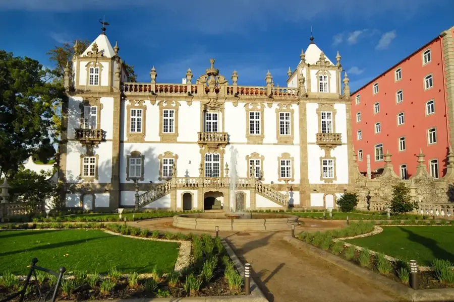
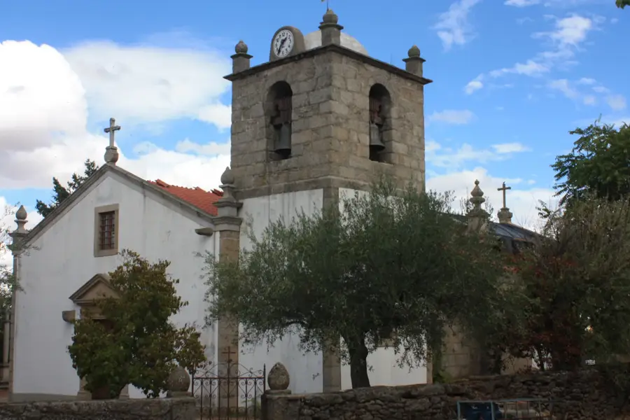
Capela da Lada
Building in Porto, a chapel.
Torre da Rua de Baixo
Building in Porto, a tower on Rua de Baixo.
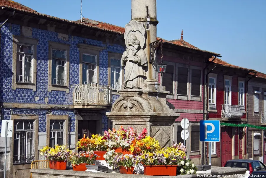
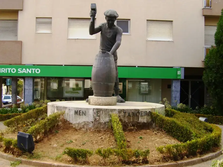
Padre Américo
Monument in Porto dedicated to the priest and social activist Padre Américo.
Miradouro da Muralha Fernandina
Viewpoint in Porto on the Fernandina wall overlooking the river.
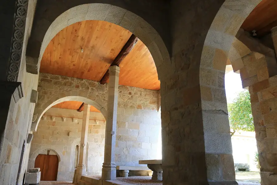
Capela de Nossa Senhora da Piedade
Chapel in Porto, dedicated to Our Lady of Mercy.
Capela de Nossa Senhora das Verdades
Chapel in Porto, dedicated to Our Lady of Truths.
Sights nearby
Frequently asked questions
Can you cross the bridge on foot?
Does the metro cross the bridge?
Who designed the bridge?
When was it completed?
How high is the bridge?
Dom Luis I Bridge: where is it located?
Dom Luis I Bridge: what is there to see?
Dom Luis I Bridge: when is the best time to visit?
Dom Luis I Bridge: why is it worth visiting?

Nearby cities


History & landmarks
Nature
More places