Plizio Visual Lab
Yanachaga-Chemillén National Park
Weather…
Water temperature…
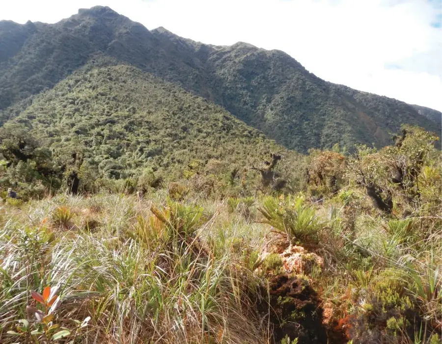
The Yanachaga-Chemillén National Park is located in the Pasco region of central Peru and protects a vital section of the eastern Andean slopes. The park spans a vast altitudinal range from 460 to 3,643 meters, encompassing a mosaic of tropical lowland rainforests and mist-shrouded cloud forests. The dramatic topography of the Yanachaga mountain range fosters exceptional biodiversity, with over 500 bird species and rare mammals such as the spectacled bear and the jaguar. Historically, the area is deeply connected to the Yanesha and Asháninka indigenous peoples, who have sustainably managed the land for centuries. The park is part of the Oxapampa-Asháninka-Yanesha Biosphere Reserve, which was recognized by UNESCO in 2010. For scientists, the area is of inestimable value, as its steep slopes have kept it largely untouched by modern agriculture or road construction.
- Location: Peru
- Nearby: Tarma (52 km)
Best time to visit & climate
The most pleasant time to visit is Aug–Oct.
| Jan | Feb | Mar | Apr | May | Jun | Jul | Aug | Sep | Oct | Nov | Dec | |
|---|---|---|---|---|---|---|---|---|---|---|---|---|
| Avg °C | 14 | 14 | 14 | 14 | 14 | 13 | 13 | 14 | 15 | 15 | 15 | 15 |
| Rain mm | 50 | 56 | 52 | 24 | 20 | 14 | 14 | 12 | 14 | 32 | 39 | 64 |
📋 Practical info
Geography
Facts
- The national park was officially established on August 29, 1986.
- The total area of the park is approximately 122,000 hectares.
- Over 500 bird species have been identified within the park boundaries.
- The elevation varies drastically from 460 to 3,643 meters.
- The park is named after two mountain ranges: Yanachaga and Chemillén.
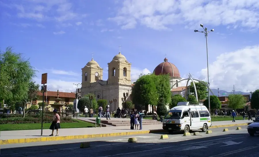
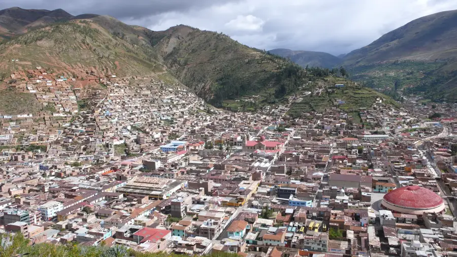
- The town of Oxapampa serves as the primary gateway to the national park.
Explore nearby
Notable places around
Route planner — Car & Motorhome
Where do you start? We build the route here, with stops and country notes along the way.
© OpenStreetMap contributors · OpenRouteService
Sights nearby
Frequently asked questions
Where is this park?
What is special?
Is it easily accessible?
Can you hike there?
Do I need insect repellent?
Yanachaga-Chemillén National Park: where is it located?
Yanachaga-Chemillén National Park: when is the best time to visit?
Yanachaga-Chemillén National Park: why is it worth visiting?