Plizio Visual Lab
Huaynaputina
Weather…
Water temperature…
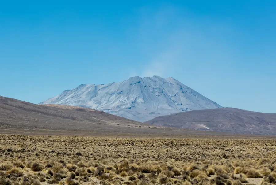
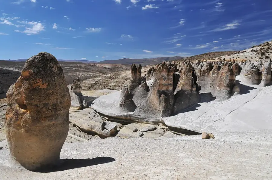
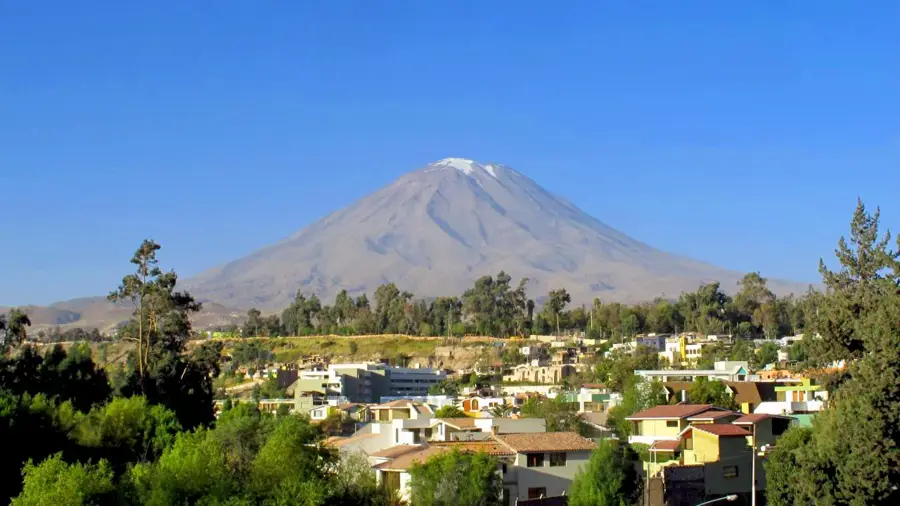
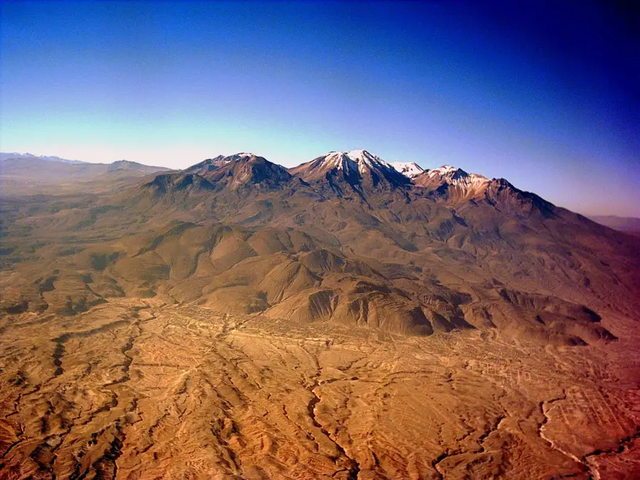
Huaynaputina is a volcanic complex in the Moquegua Region of southern Peru, infamous for the largest volcanic eruption in South America's recorded history. On February 19, 1600, the volcano underwent a catastrophic VEI-6 eruption that ejected approximately 30 cubic kilometers of tephra into the atmosphere. This event had global climatic consequences, contributing to a severe famine in Russia and cooling temperatures across the Northern Hemisphere. The volcano lacks a distinct summit cone, instead sitting at an elevation of 4,850 meters with a large, horseshoe-shaped crater. The 1600 eruption buried over 20 surrounding villages and significantly altered the regional topography, including the damming of several rivers. Today, Huaynaputina remains dormant, but its history makes it a critical site for volcanological research and geological monitoring in the Peruvian Andes.
- Location: Peru
- Nearby: Moquegua (23 km)
Best time to visit & climate
The most pleasant time to visit is Apr, Oct, Nov.
| Jan | Feb | Mar | Apr | May | Jun | Jul | Aug | Sep | Oct | Nov | Dec | |
|---|---|---|---|---|---|---|---|---|---|---|---|---|
| Avg °C | 12 | 12 | 12 | 11 | 10 | 10 | 9 | 10 | 11 | 12 | 12 | 12 |
| Rain mm | 35 | 47 | 25 | 6 | 2 | 0 | 2 | 1 | 3 | 7 | 4 | 16 |
📋 Practical info
Geography
Facts
- Largest historical eruption in South America (1600)
- Rated VEI-6 on the volcanic explosivity scale
- Summit elevation is approximately 4,850 m
- Ejected 30 cubic kilometers of tephra
- Triggered global cooling and Russian famine
- Destroyed over 20 villages during its peak event
Explore nearby
Notable places around
Route planner — Car & Motorhome
Where do you start? We build the route here, with stops and country notes along the way.
© OpenStreetMap contributors · OpenRouteService
Sights nearby
Frequently asked questions
Why is Huaynaputina famous?
Is it still active today?
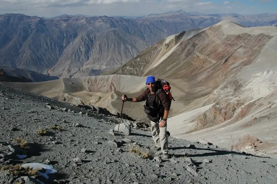
Can you visit the craters?
What equipment do I need?
What is nearby?
Huaynaputina: where is it located?
Huaynaputina: when is the best time to visit?
Huaynaputina: why is it worth visiting?

Nearby cities
More places