Plizio Visual Lab
Chachani
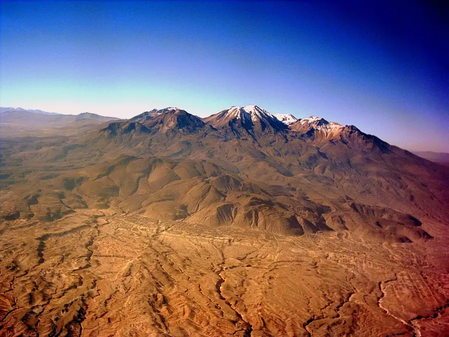
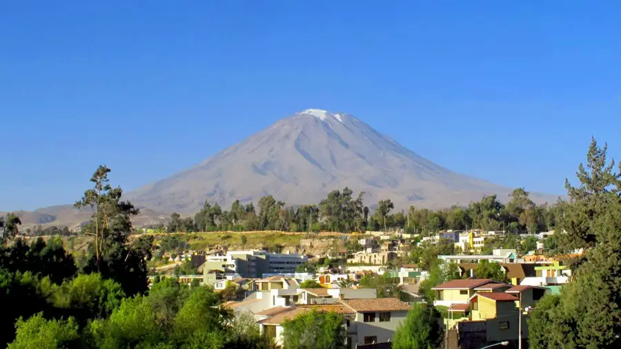
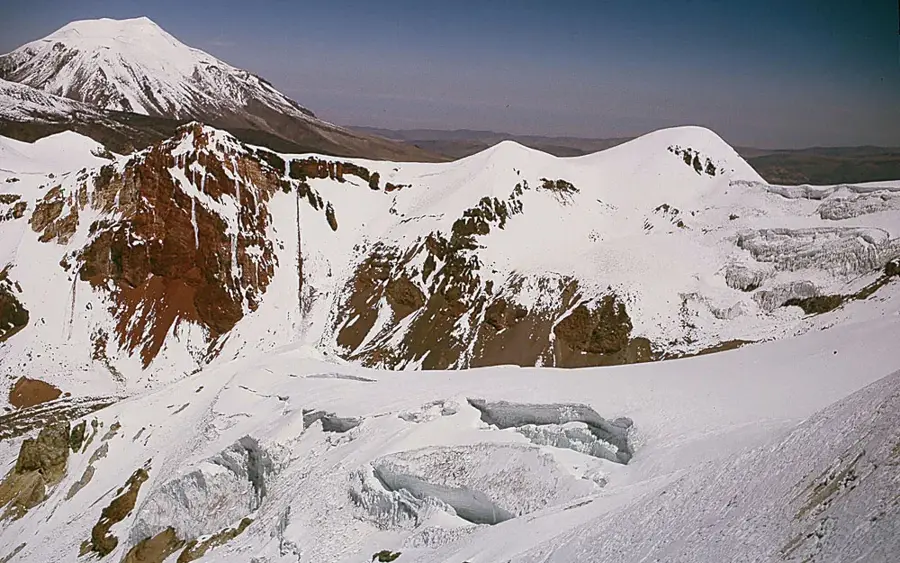
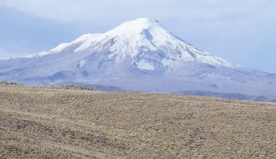
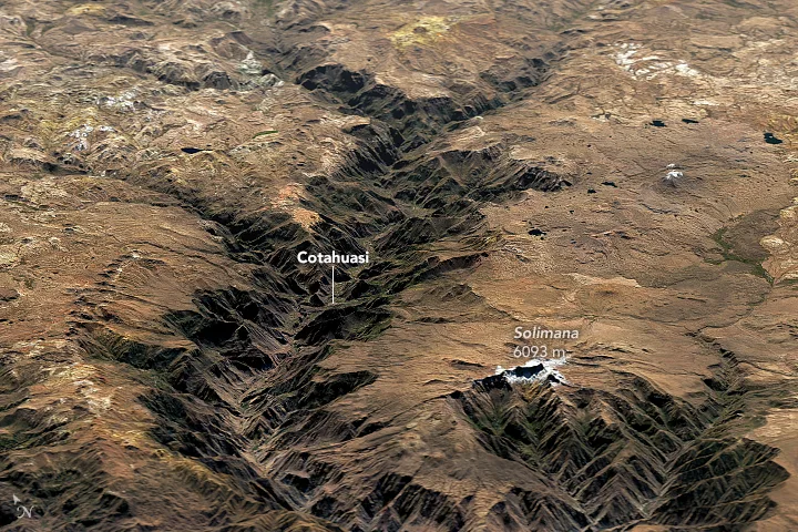
Chachani is a large volcanic complex in southern Peru, situated just north of the city of Arequipa and reaching an altitude of 6,057 meters. The complex consists of several summits, including the main peak, Angel, Fatima, and Trigo. Despite its significant elevation, Chachani frequently lacks permanent snow cover due to the exceptionally dry climate of the high-altitude Andes in this region. The mountain is primarily composed of andesitic and dacitic lavas, and its previous activity contributed to the volcanic ash deposits used in local construction. It is widely regarded among the global climbing community as one of the easiest 6,000-meter peaks to ascend, as high-altitude access roads allow climbers to start their trek from above 5,000 meters. Nevertheless, the extreme altitude and severe winds present significant physical challenges, requiring proper acclimatization and endurance.
- Location: Peru
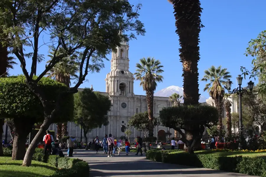
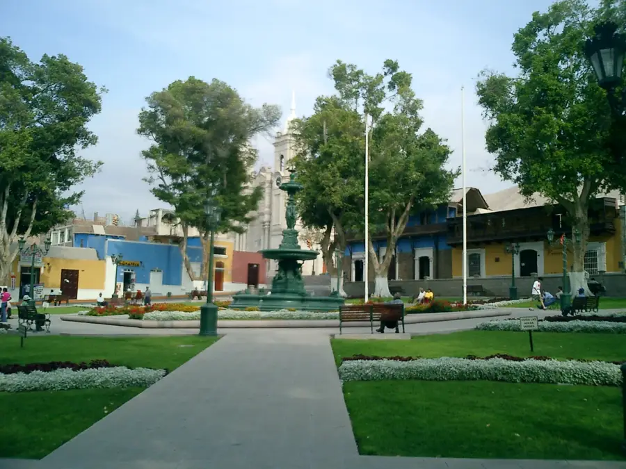
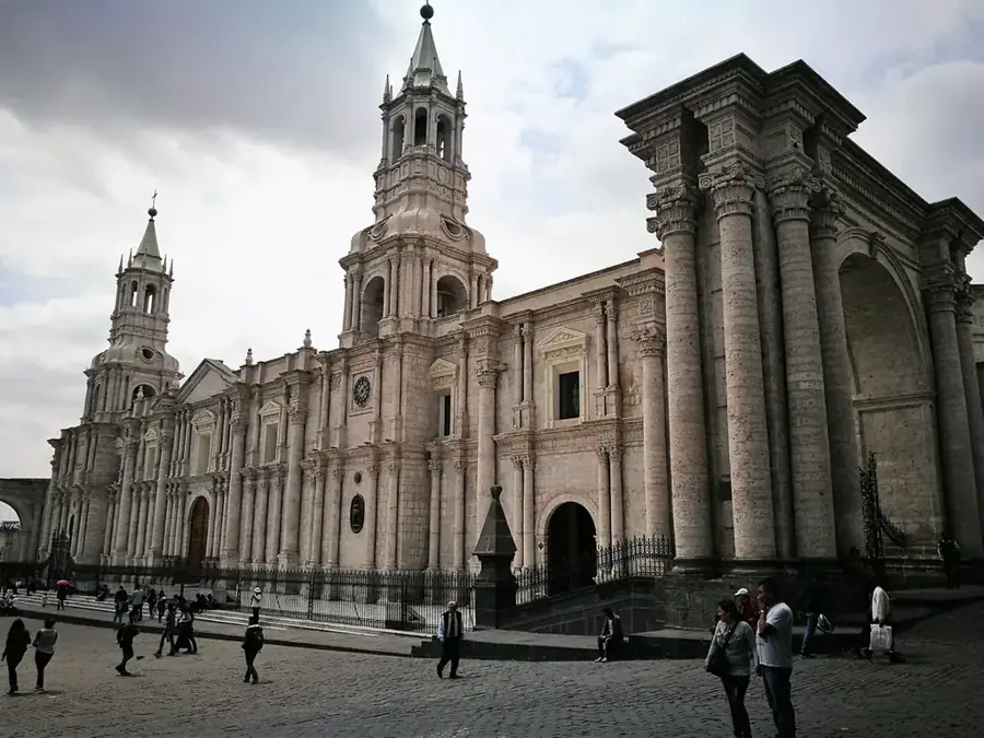
- Nearby: Arequipa (8 km)
Best time to visit & climate
The most pleasant time to visit is Oct–Dec.
| Jan | Feb | Mar | Apr | May | Jun | Jul | Aug | Sep | Oct | Nov | Dec | |
|---|---|---|---|---|---|---|---|---|---|---|---|---|
| Avg °C | 7 | 7 | 7 | 6 | 5 | 4 | 4 | 5 | 6 | 7 | 7 | 7 |
| Rain mm | 46 | 59 | 33 | 11 | 4 | 1 | 2 | 2 | 6 | 14 | 7 | 27 |
📋 Practical info
Geography
Facts
- Peak elevation is 6,057 meters
- Consists of four main summits
- Regarded as the easiest 6,000 m peak to climb
- A source of white sillar volcanic rock
- Lacks permanent glaciers due to dry climate
- Located only 22 km from Arequipa
Explore nearby
Notable places around
Route planner — Car & Motorhome
Where do you start? We build the route here, with stops and country notes along the way.
© OpenStreetMap contributors · OpenRouteService
Sights nearby
Frequently asked questions
Is Chachani a popular peak?
Do I need mountaineering experience?
How long does the ascent take?
What is the best season?
Do I need special clothing?
Chachani: where is it located?
Chachani: when is the best time to visit?
Chachani: why is it worth visiting?

Nearby cities
History & landmarks
Nature
More places