Plizio Visual Lab
Paraná River
Weather…
Water temperature…
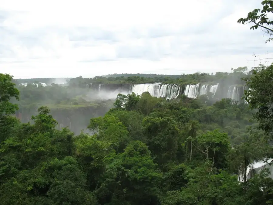
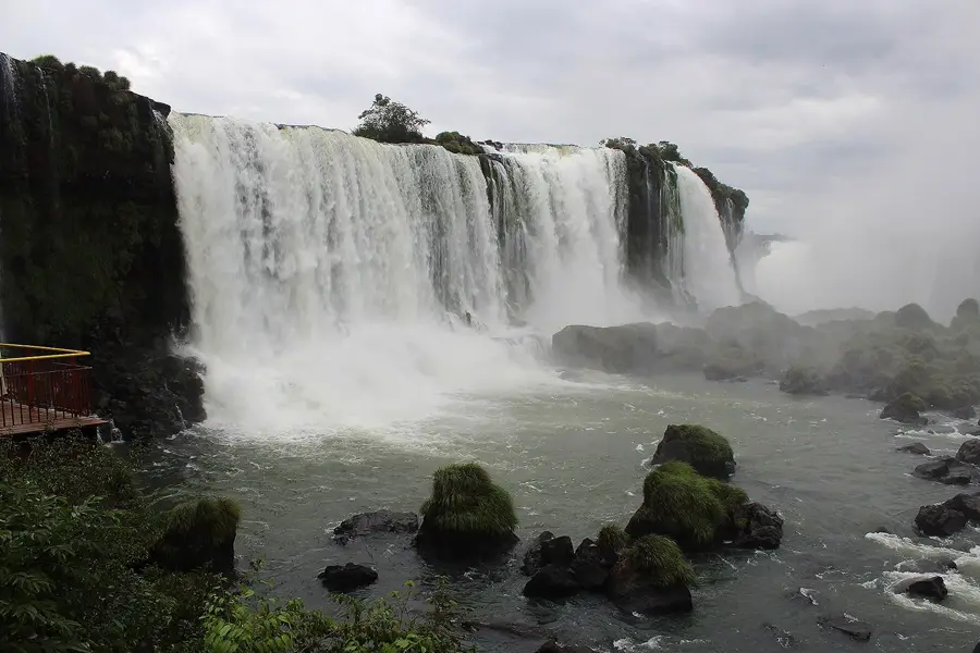
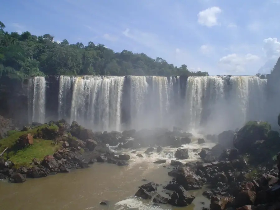
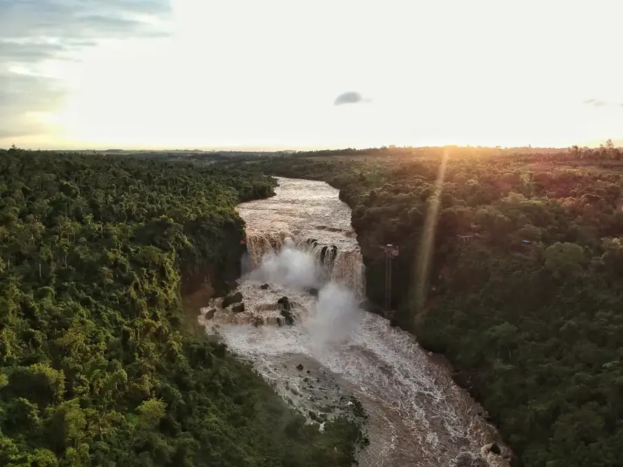
The Paraná River is the second-longest river in South America and one of the most voluminous waterways in the world. Stretching approximately 4,880 kilometers, it forms a significant portion of Paraguay's international borders with Brazil and Argentina. The river is of immense economic importance, as it hosts the massive Itaipu and Yacyretá hydroelectric dams, which provide Paraguay with a surplus of renewable energy. Ecologically, the Paraná is celebrated for its rich biodiversity, including the prized Dorado fish species. The Paraná Basin is among the most fertile regions on the continent, supporting intensive agricultural production. Furthermore, the river serves as a crucial shipping corridor for transporting soybeans and other commodities toward the Atlantic Ocean. Historically, the Paraná was a key route for Jesuit missions and the colonial development of the inland territories. Currently, the river faces environmental challenges from deforestation and industrial runoff.
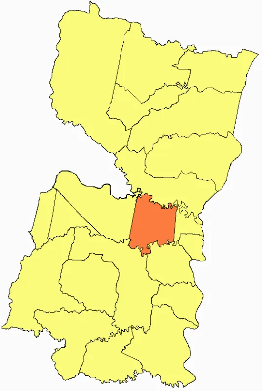
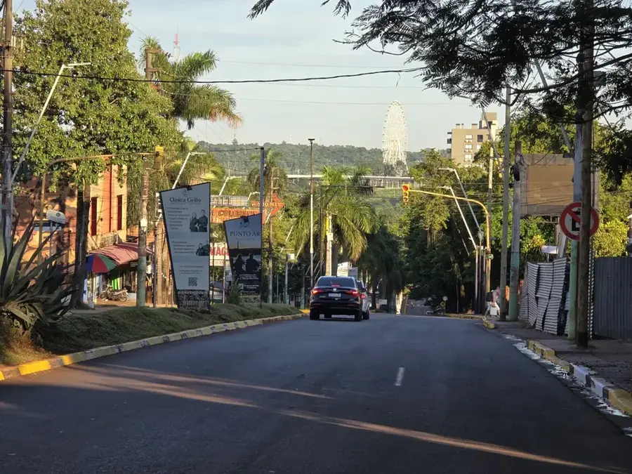
- Location: Paraguay
- Top sights: A casa da piscina · Auditorio Municipal Mauro Cespedes · Quixote Espaço Cultural
- Nearby: Hernandarias (9 km)
Best time to visit & climate
The most pleasant time to visit is Jul–Sep.
| Jan | Feb | Mar | Apr | May | Jun | Jul | Aug | Sep | Oct | Nov | Dec | |
|---|---|---|---|---|---|---|---|---|---|---|---|---|
| Avg °C | 27 | 27 | 26 | 24 | 19 | 17 | 17 | 19 | 21 | 24 | 25 | 27 |
| Rain mm | 147 | 129 | 117 | 124 | 163 | 108 | 85 | 70 | 121 | 211 | 159 | 179 |
📋 Practical info
Geography
Facts
- The total length of the Paraná River is approximately 4,880 kilometers.
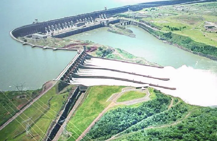
- The Itaipu Dam on the Paraná was for many years the world's largest hydroelectric plant.
- The Paraná River flows into the Rio de la Plata estuary alongside the Uruguay River.
- The Paraná Basin covers an extensive area of about 2.5 million square kilometers.
- The river's average discharge is approximately 17,300 cubic meters per second.
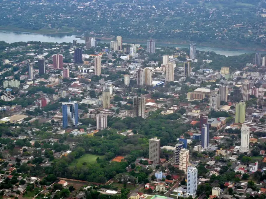
- Major Paraguayan urban centers, including Ciudad del Este, are located on its banks.
Explore nearby
Notable places around
Route planner — Car & Motorhome
Where do you start? We build the route here, with stops and country notes along the way.
© OpenStreetMap contributors · OpenRouteService
Sights in the town Paraná River (10)
Sights nearby
Frequently asked questions
Is the Río Paraná suitable for boat trips?
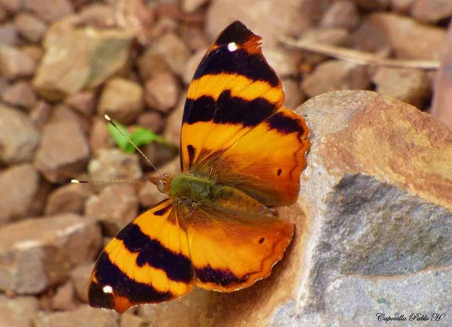
What animal species can be seen at the Río Paraná?
Is swimming in the Río Paraná safe?
When is the best time to visit the Río Paraná?
Are there picnic areas along the riverbank?
Paraná River: where is it located?
Paraná River: what is there to see?
Paraná River: when is the best time to visit?
Paraná River: why is it worth visiting?

Nearby cities

Nature
More places