Plizio Visual Lab
Tebicuary River
Weather…
Water temperature…
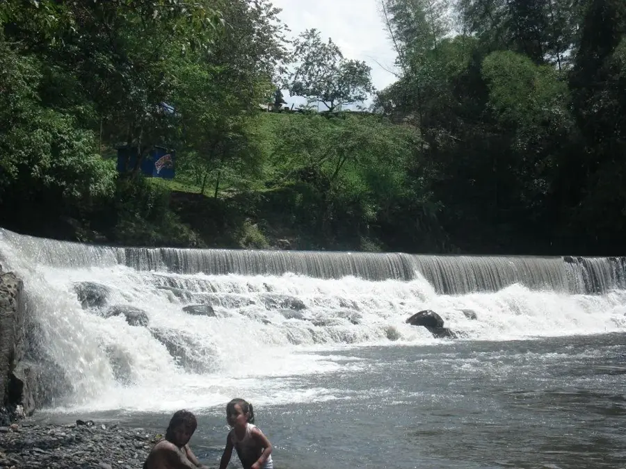
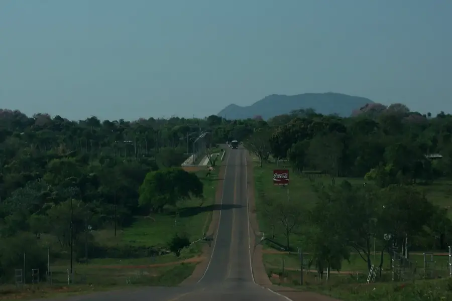
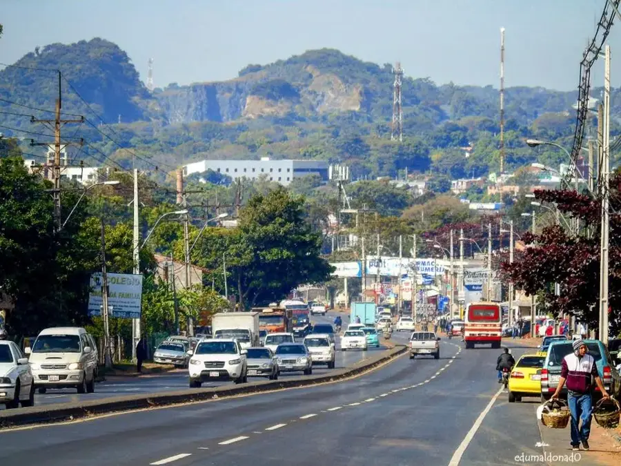
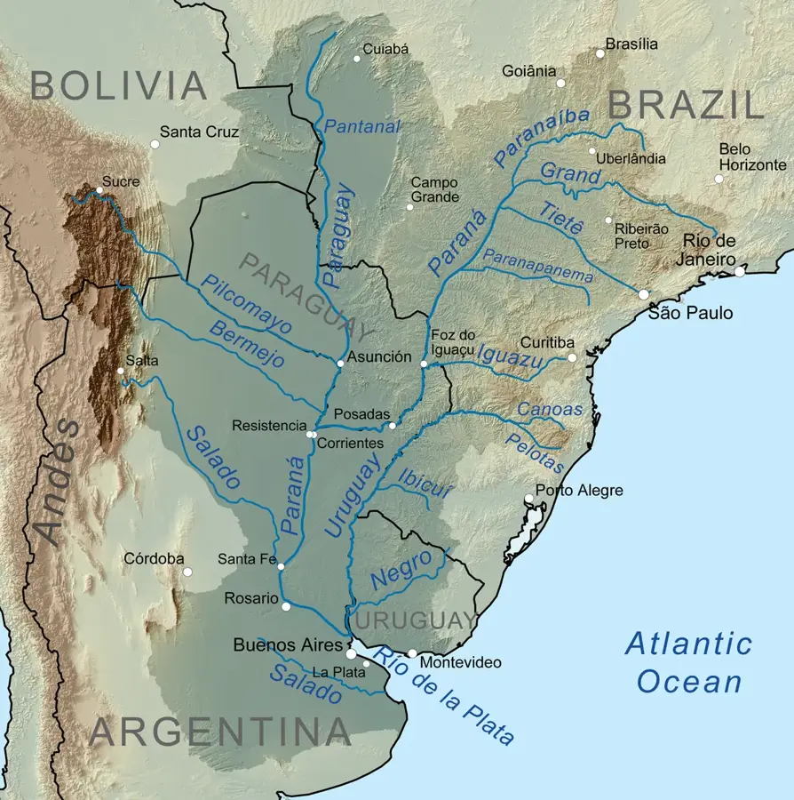
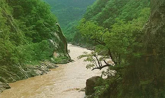
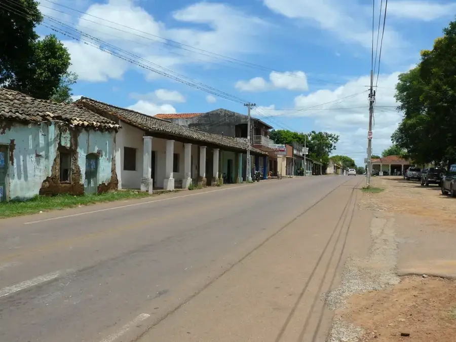
The Tebicuary River is one of the most important internal rivers of Paraguay, traversing the southern part of the country through the departments of Paraguarí, Misiones, and Neembucú. It originates in the Cordillera de San Rafael and flows for approximately 500 kilometers before emptying into the Paraguay River. The river is well-known for its gentle meanders and extensive white sand beaches, which make it a popular destination for local tourism during the summer months, particularly near the town of Villa Florida. Historically, the Tebicuary basin was a central area for the Jesuit Reductions, as the fertile soils along its banks supported agriculture and cattle ranching. Today, the river is ecologically significant as it feeds vast wetlands and wet savannas that host a rich variety of birdlife. However, the ecosystem faces challenges due to intensive rice farming in the region, which requires large amounts of water for irrigation. Protecting the Tebicuary is thus a key issue for Paraguayan environmental policy to ensure the balance between economic use and ecological preservation.
- Location: Paraguay
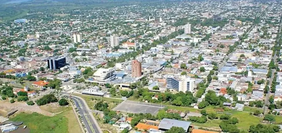
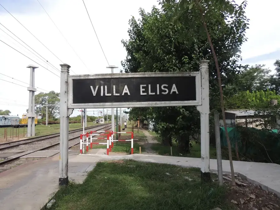
- Nearby: Villeta (72 km)
Best time to visit & climate
The most pleasant time to visit is Jun, Aug, Sep.
| Jan | Feb | Mar | Apr | May | Jun | Jul | Aug | Sep | Oct | Nov | Dec | |
|---|---|---|---|---|---|---|---|---|---|---|---|---|
| Avg °C | 28 | 28 | 26 | 23 | 18 | 16 | 15 | 18 | 20 | 24 | 25 | 27 |
| Rain mm | 141 | 121 | 146 | 165 | 115 | 68 | 54 | 38 | 69 | 153 | 175 | 170 |
📋 Practical info
Geography
Facts
- Total length is approximately 500 kilometers
- Originates in the Cordillera de San Rafael
- Emptying into the Paraguay River
- Villa Florida is the most famous tourist spot
- The Tebicuary-mí is its main tributary
- Primary water source for southern rice production
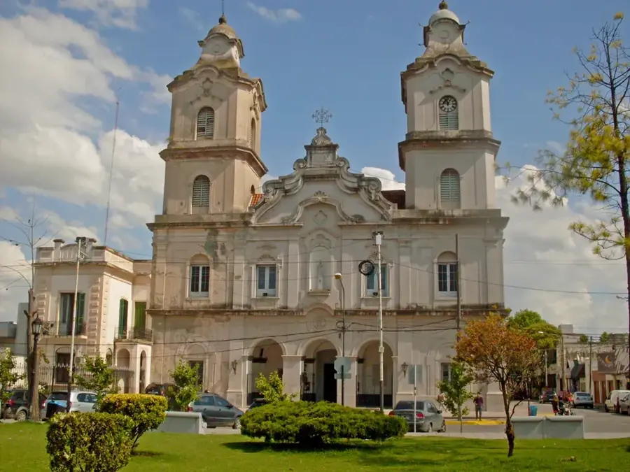
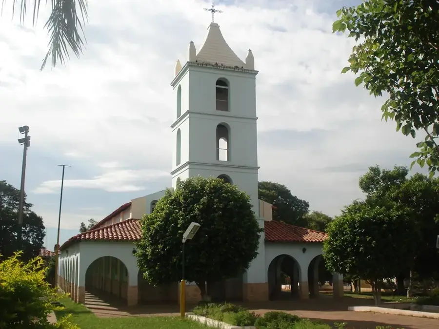
Explore nearby
Notable places around
Route planner — Car & Motorhome
Where do you start? We build the route here, with stops and country notes along the way.
© OpenStreetMap contributors · OpenRouteService
Sights nearby
Frequently asked questions
Is the Río Tebicuary a popular destination for anglers?
Are there beaches along the Río Tebicuary?
How can one reach the river?
Are there boat rentals?
Is the area safe?
Tebicuary River: where is it located?
Tebicuary River: when is the best time to visit?
Tebicuary River: why is it worth visiting?

Nearby cities