Plizio Visual Lab
Wadi Shair

Weather…
Water temperature…
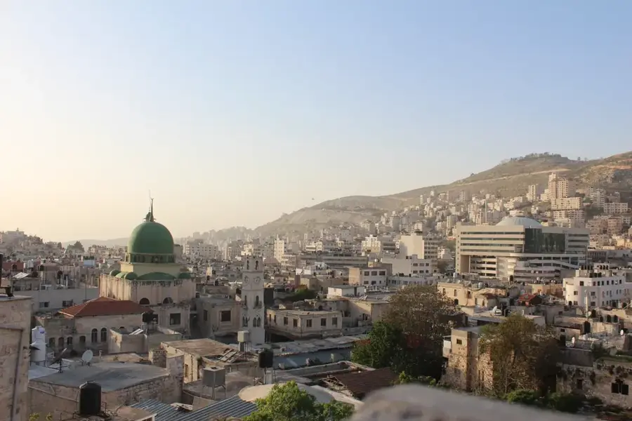
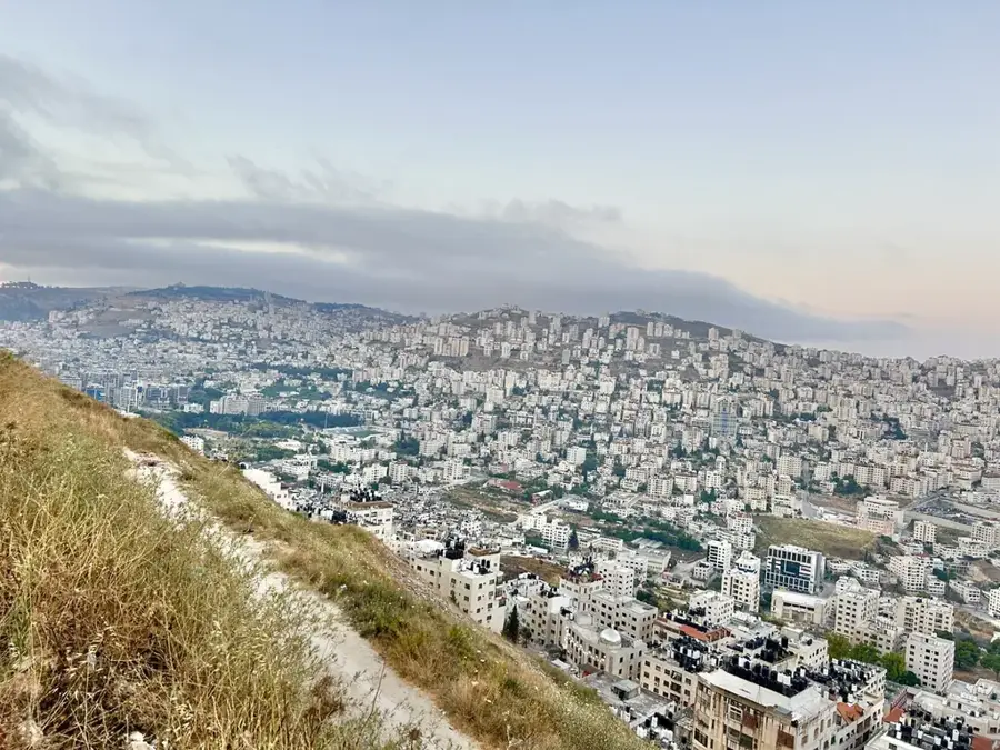
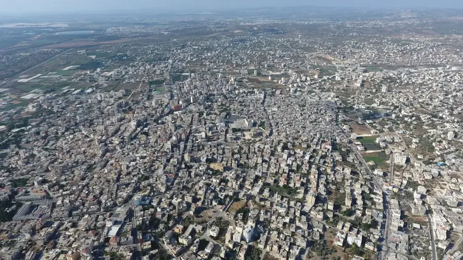
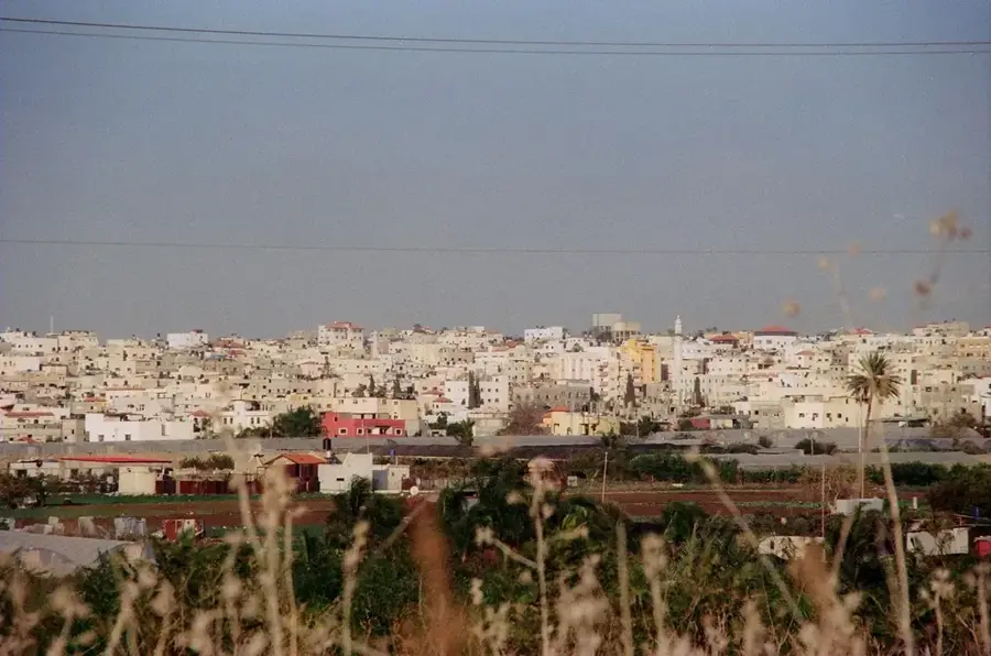
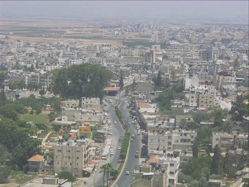
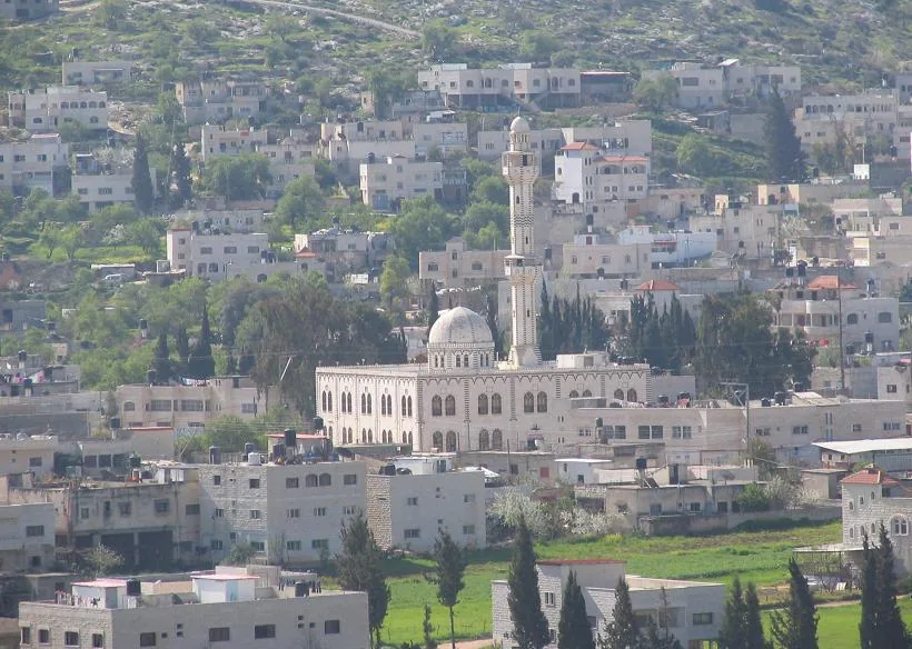
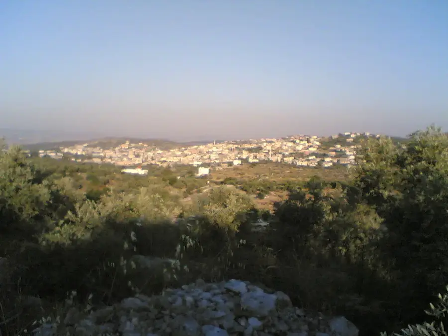
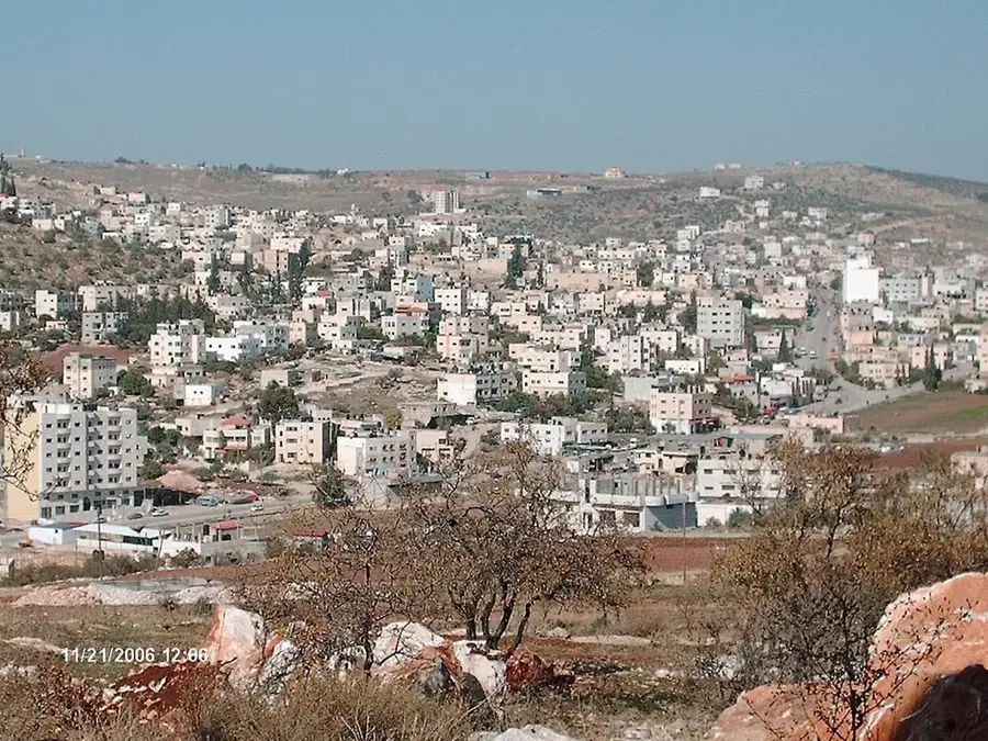
Wadi Shair, which translates to 'Valley of Barley', is a lush agricultural corridor that carves through the northern highlands of the West Bank, connecting the major hubs of Nablus and Tulkarm. Renowned for its exceptional fertility, the valley floor is a mosaic of emerald-green citrus orchards and silver-hued olive groves, some of which contain trees dating back centuries. This region has served as a vital transit route for traders and travelers since antiquity, facilitating the flow of goods between the interior mountains and the coastal plains. The landscape is characterized by meticulously maintained stone terraces and rolling hills that offer a serene backdrop to the traditional Palestinian villages nearby. Visitors to the valley can experience a deeply authentic rural setting, particularly spirited in the spring months when the almond blossoms and wildflowers are in full bloom, showcasing the enduring relationship between the local population and the land.
- Location: Palestinian Territories
- Top sights: Al-Nasem Park · Al-Amer Wedding Hall Anabta · Old City
- Nearby: Jayyous (9 km)
Best time to visit & climate
The most pleasant time to visit is May, Jun, Oct.
| Jan | Feb | Mar | Apr | May | Jun | Jul | Aug | Sep | Oct | Nov | Dec | |
|---|---|---|---|---|---|---|---|---|---|---|---|---|
| Avg °C | 13 | 13 | 15 | 18 | 22 | 25 | 27 | 27 | 26 | 24 | 19 | 15 |
| Rain mm | 118 | 88 | 47 | 23 | 7 | 1 | 1 | 1 | 2 | 18 | 57 | 104 |
📋 Practical info
Geography
Facts
- Length of approximately 15 kilometers in the core area
- Main olive production area in the northwest
- Historical trade route between Nablus and Tulkarm
- Characterized by limestone-rich terrain
- Seasonal water flow during winter months
- Home to numerous traditional farming villages
Explore nearby
Notable places around
Route planner — Car & Motorhome
Where do you start? We build the route here, with stops and country notes along the way.
© OpenStreetMap contributors · OpenRouteService
Sights in the town Wadi Shair (6)
Sights nearby
Frequently asked questions
Is Wadi Shair a hidden gem?
Are there hiking trails there?
What is the surrounding like?
When is the best time?
Is there shade there?
Wadi Shair: where is it located?
Wadi Shair: what is there to see?
Wadi Shair: when is the best time to visit?
Wadi Shair: why is it worth visiting?

Nearby cities