Plizio Visual Lab
Wadi al-Makhrour
Weather…
Water temperature…
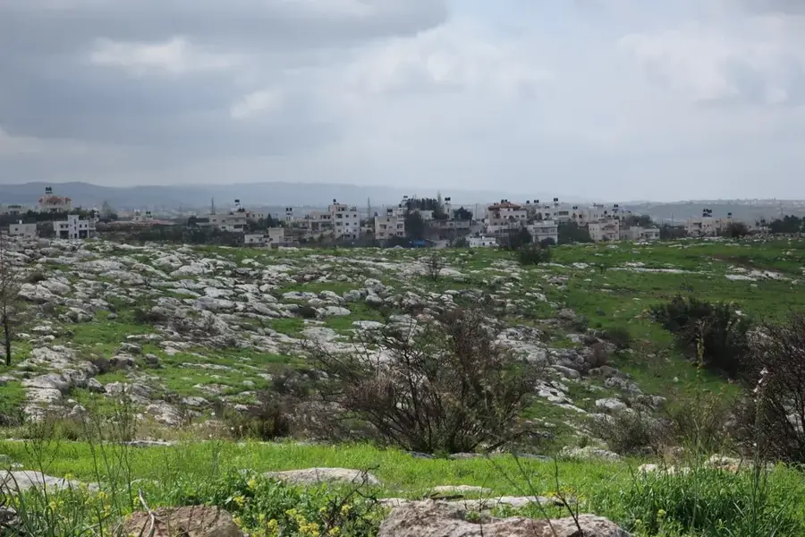
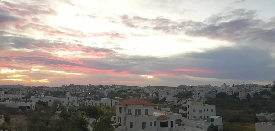
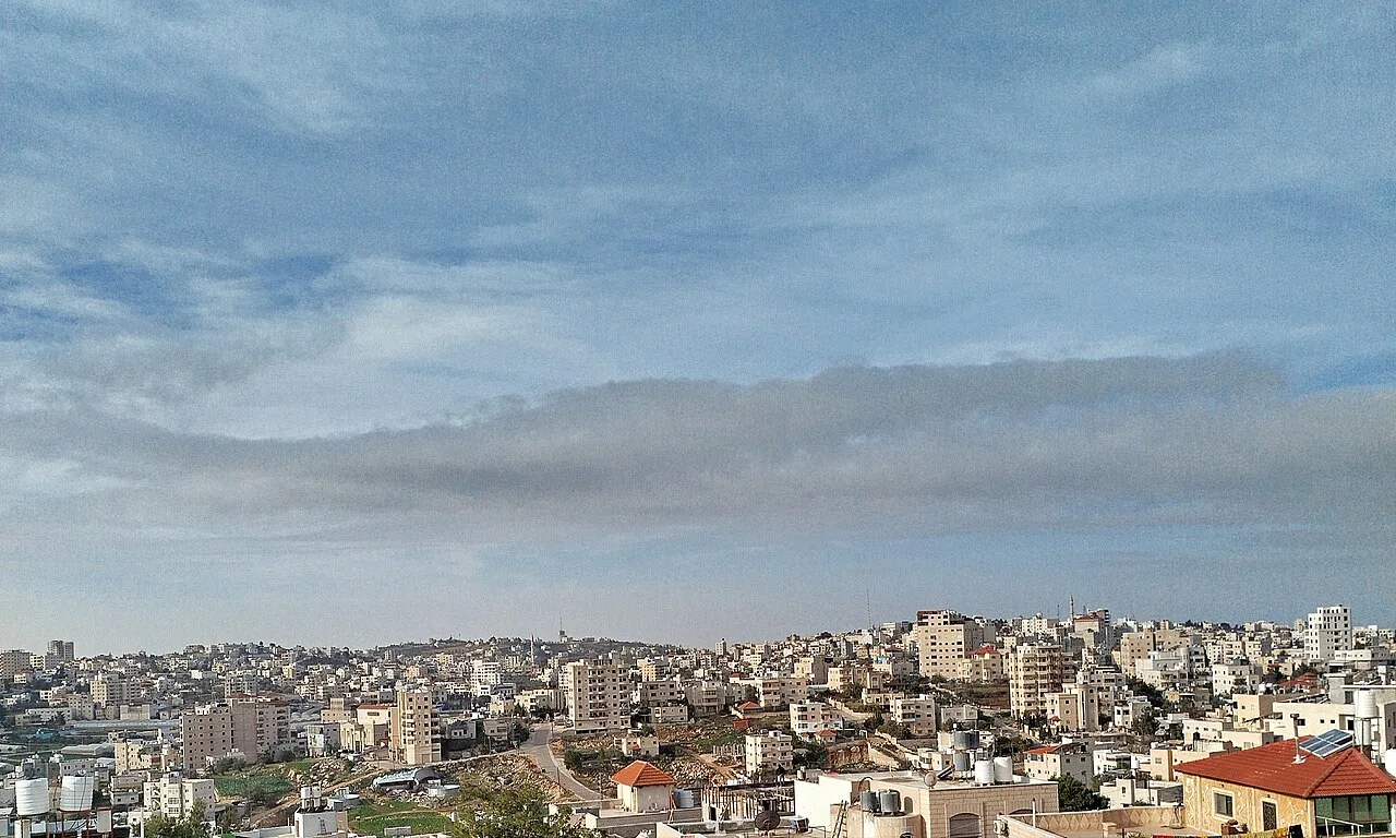
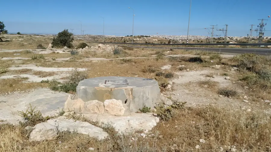
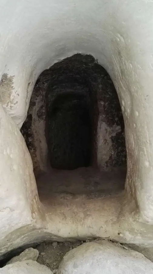
Wadi al-Makhrour is one of the most significant and last remaining green valleys in the Bethlehem governorate, stretching from Beit Jala to the UNESCO-listed village of Battir. This lush valley is a biodiversity hotspot, home to a wide variety of native plants and wildlife. Its slopes are defined by ancient stone terraces where olive, apricot, and almond trees have been cultivated for centuries using traditional methods. Due to its unique ecosystem, the valley is recognized as an Important Bird Area (IBA), serving as a crucial nesting and migration site for various species. Hikers can enjoy well-marked trails that wind through Mediterranean scrubland, past natural springs and historic stone towers known as 'qasr' that farmers used for storage and shelter. Wadi al-Makhrour provides a tranquil escape into nature, providing refreshing air and impressive scenery that changes with the seasons. Visiting the valley is an opportunity to appreciate the profound connection between the Palestinian people and their land, making it an essential destination for eco-tourists and nature lovers seeking authenticity in the Judean Hills.
- Location: Palestinian Territories
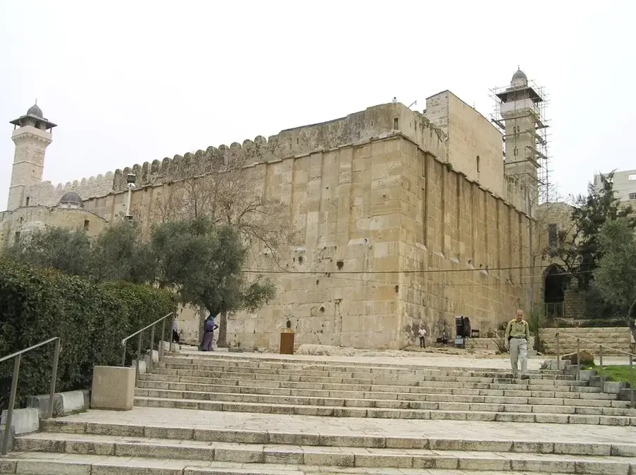
- Top sights: Al-Khader Mosque · Al-Khader Church
- Nearby: Beit Sahour (8 km)
Best time to visit & climate
The most pleasant time to visit is Apr, May, Oct.
| Jan | Feb | Mar | Apr | May | Jun | Jul | Aug | Sep | Oct | Nov | Dec | |
|---|---|---|---|---|---|---|---|---|---|---|---|---|
| Avg °C | 10 | 12 | 15 | 18 | 22 | 25 | 27 | 27 | 25 | 22 | 17 | 12 |
| Rain mm | 59 | 42 | 27 | 15 | 4 | 0 | 1 | 0 | 2 | 12 | 31 | 48 |
📋 Practical info
Geography
Facts
- The wadi stretches from Beit Jala to Battir
- It is part of the UNESCO buffer zone for Battir
- Rare orchids and wildflowers grow throughout the valley
- The traditional stone towers are locally called 'Qasr'
- The valley is a key destination for eco-tourism
- Birdwatchers can find many local avian species here
Explore nearby
Notable places around
Route planner — Car & Motorhome
Where do you start? We build the route here, with stops and country notes along the way.
© OpenStreetMap contributors · OpenRouteService
Sights in the town Wadi al-Makhrour (2)
Sights nearby
Frequently asked questions
Is Wadi al-Makhrour a nice hiking area?
What can one see there?
Are the trails difficult?
When is the best time for a visit?
Is there tourist infrastructure there?
Wadi al-Makhrour: where is it located?
Wadi al-Makhrour: what is there to see?
Wadi al-Makhrour: when is the best time to visit?
Wadi al-Makhrour: why is it worth visiting?

Nearby cities