Plizio Visual Lab
Mount Sartaba
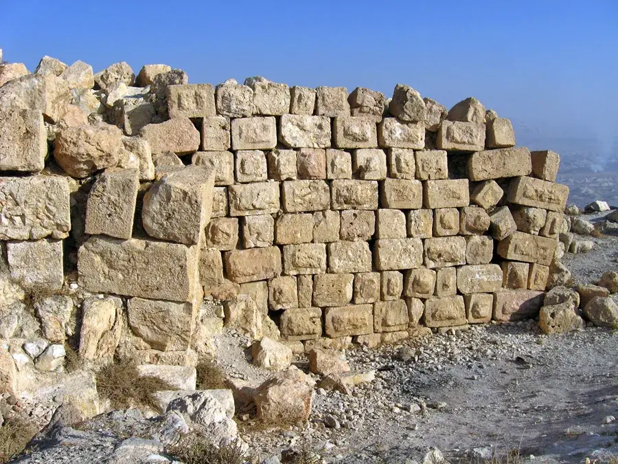
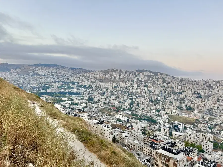
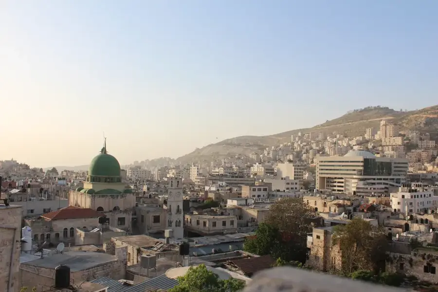
Mount Sartaba, also known as Alexandrium, is a prominent archaeological site rising sharply above the Jordan Valley. Its distinctive conical peak served as the location for a formidable Hasmonean fortress, originally established by King Alexander Jannaeus in the 1st century BCE. Beyond its defensive capabilities, Sartaba was a vital node in the ancient Jewish communication network. According to the Mishnah, it was the second station in a chain of mountaintop signal fires used to announce the start of a new month and religious festivals, a system that extended as far as Babylonia. Excavations on the summit have revealed significant remains of masonry, massive water cisterns, and complex aqueducts that transported water up the steep slopes. The site remains a powerful symbol of regional history, offering visitors unparalleled views of the winding Jordan River and the mountains of Gilead across the border, making it a destination for history enthusiasts and hikers alike.
- Location: Palestinian Territories
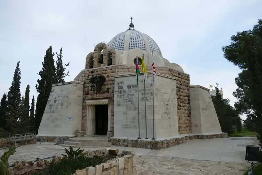
- Top sights: Orev Viewpoint · Sartava;Sartaba · Gilgal, the camp of the 12 tribes
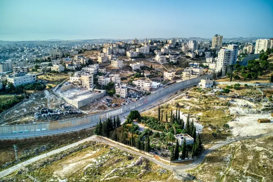
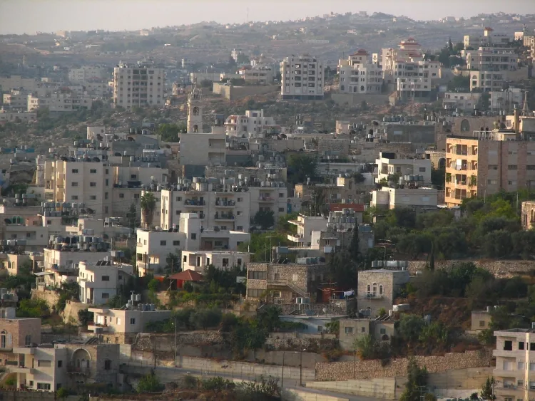
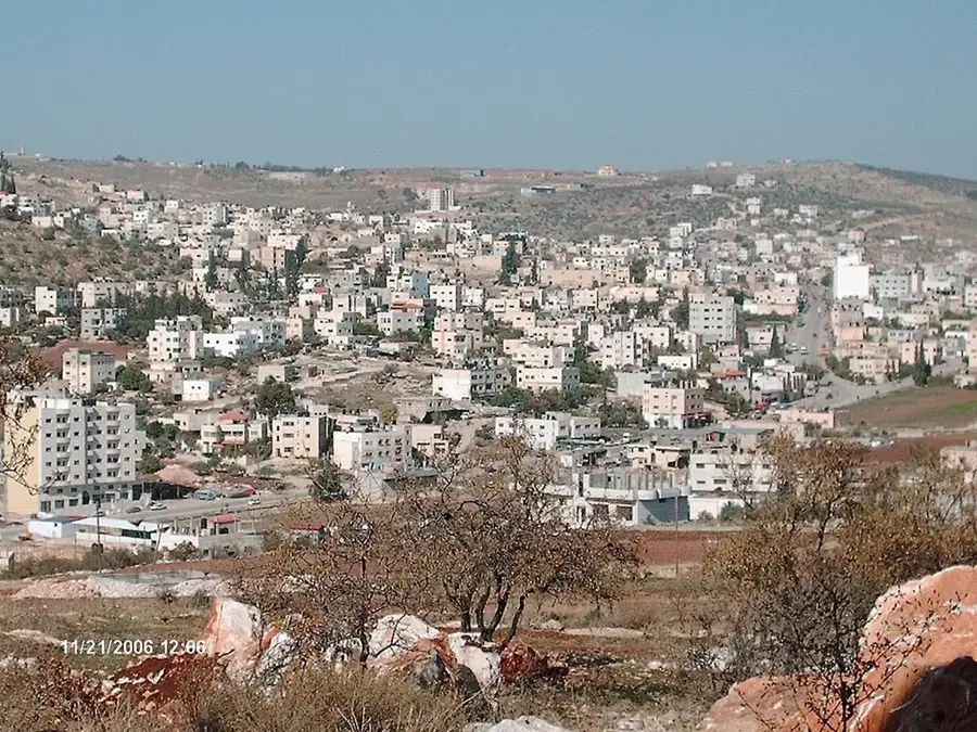
- Nearby: Tamun (20 km)
Best time to visit & climate
The most pleasant time to visit is Apr, May, Oct.
| Jan | Feb | Mar | Apr | May | Jun | Jul | Aug | Sep | Oct | Nov | Dec | |
|---|---|---|---|---|---|---|---|---|---|---|---|---|
| Avg °C | 11 | 13 | 16 | 20 | 24 | 28 | 30 | 30 | 28 | 24 | 18 | 14 |
| Rain mm | 63 | 58 | 32 | 15 | 6 | 1 | 0 | 1 | 1 | 8 | 29 | 52 |
📋 Practical info
Geography
Facts
- Rises about 650 meters above the level of the Jordan Valley
- Summit plateau hosts the ruins of Alexandrium fortress
- Steep western flank drops almost vertically
- Geologically part of the transition zone to the Jordan Rift
- Provides 360-degree views to Jericho and Transjordan
- Ancient water conduits still visible on the slopes
Explore nearby
Notable places around
Route planner — Car & Motorhome
Where do you start? We build the route here, with stops and country notes along the way.
© OpenStreetMap contributors · OpenRouteService
Sights in the town Mount Sartaba (9)
Sights nearby
Frequently asked questions
Is the climb to Sartaba strenuous?
Is there shade on the way?
Is the view worth it?
What is the best time of day to hike?
Are there ruins at the top?
Mount Sartaba: where is it located?
Mount Sartaba: what is there to see?
Mount Sartaba: when is the best time to visit?
Mount Sartaba: why is it worth visiting?

Nearby cities