Plizio Visual Lab
Mount Muntar
Weather…
Water temperature…
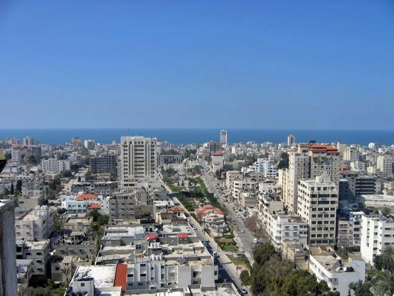
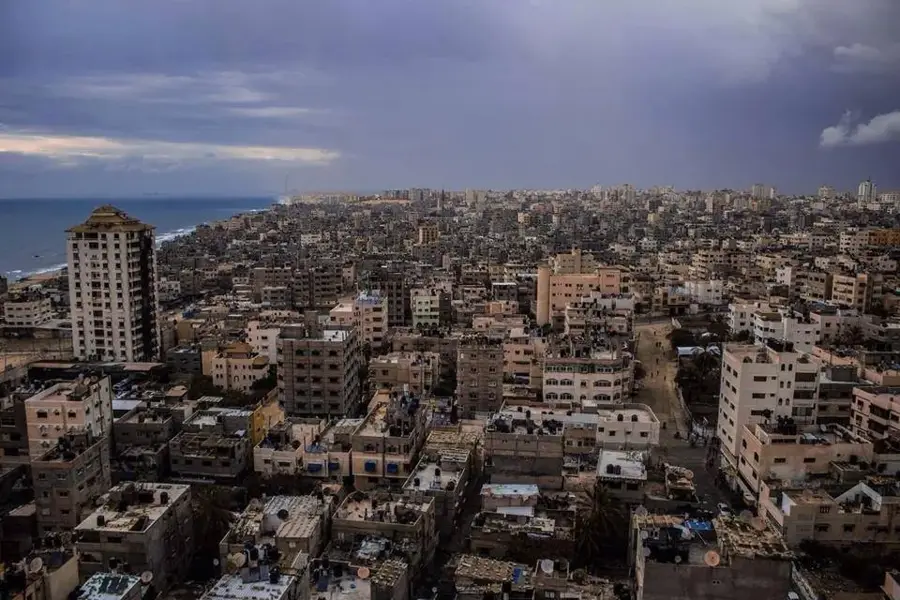
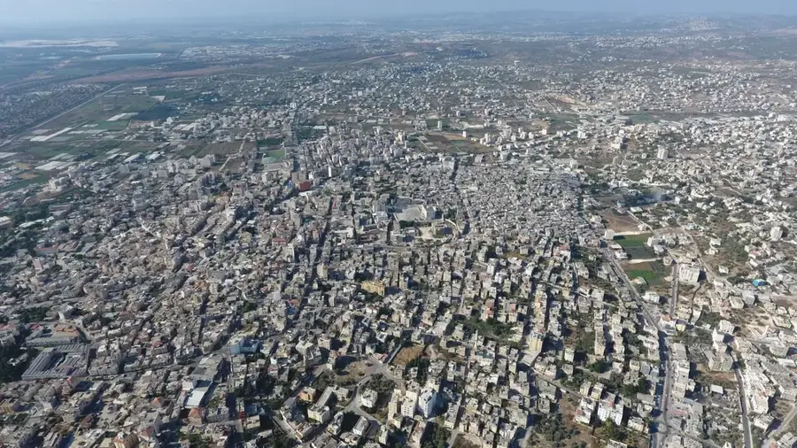
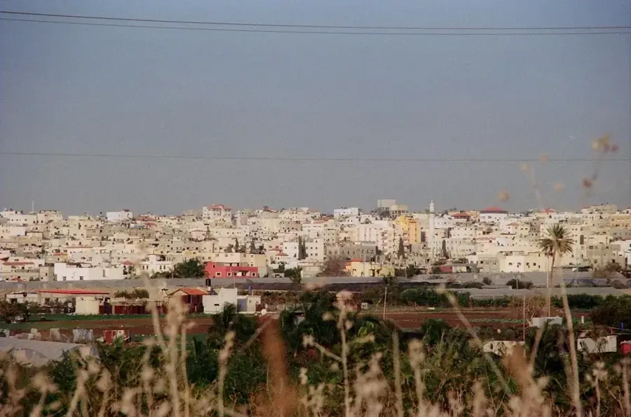
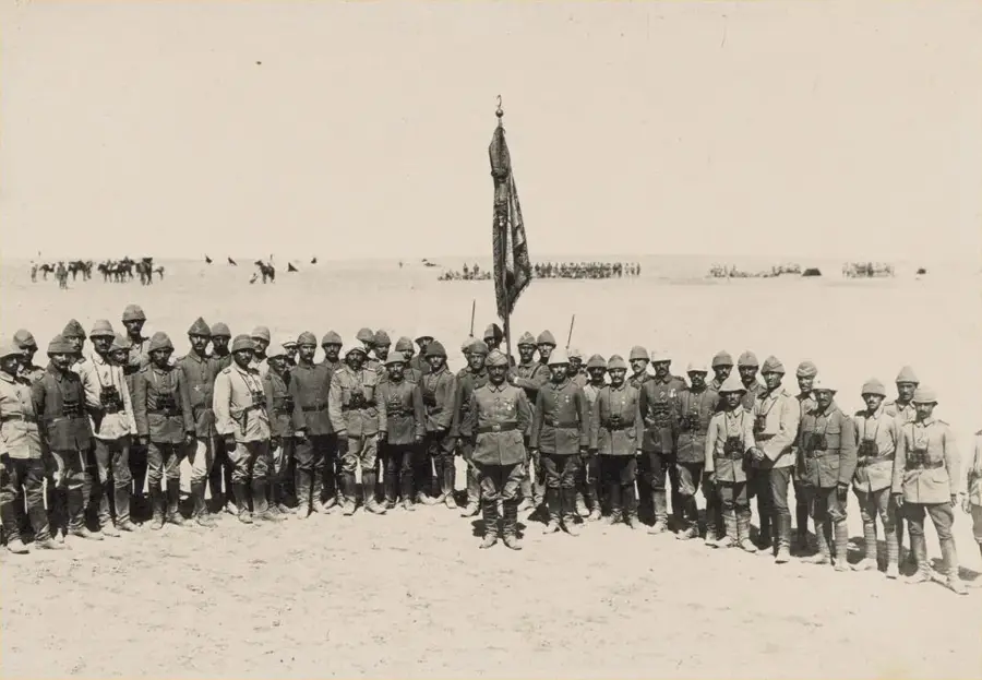
Mount Muntar, rising to the east of Gaza City, is the highest natural elevation in the coastal plain and a site of profound strategic and historical importance. Standing at approximately 80 meters above sea level, it commands an unobstructed view of the entire Gaza harbor, the urban center, and the surrounding agricultural lands. Geologically, the hill is part of a kurkar ridge, a unique formation of fossilized sandstone dunes typical of the Levantine coast. Due to its vantage point, Mount Muntar has been a focal point of military operations for centuries, most notably during the Battles of Gaza in World War I, when Allied and Ottoman forces fought fiercely for control of its heights. The Arabic name 'Muntar' translates directly to 'Watchtower,' underscoring its historical role as a primary lookout post. Historically, it was also a place of spiritual gathering, hosting traditional festivals and shrines. Today, despite urban encroachment, the hill remains the most significant geographical landmark in the Gaza Strip, offering a clear visual understanding of the region's topography and its proximity to the Mediterranean Sea.
- Location: Palestinian Territories
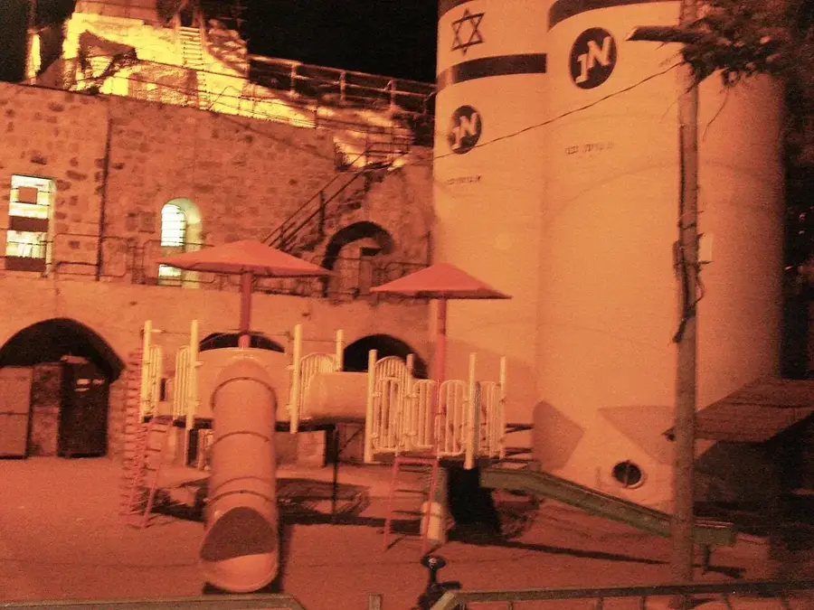
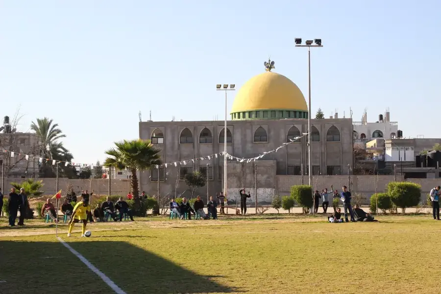
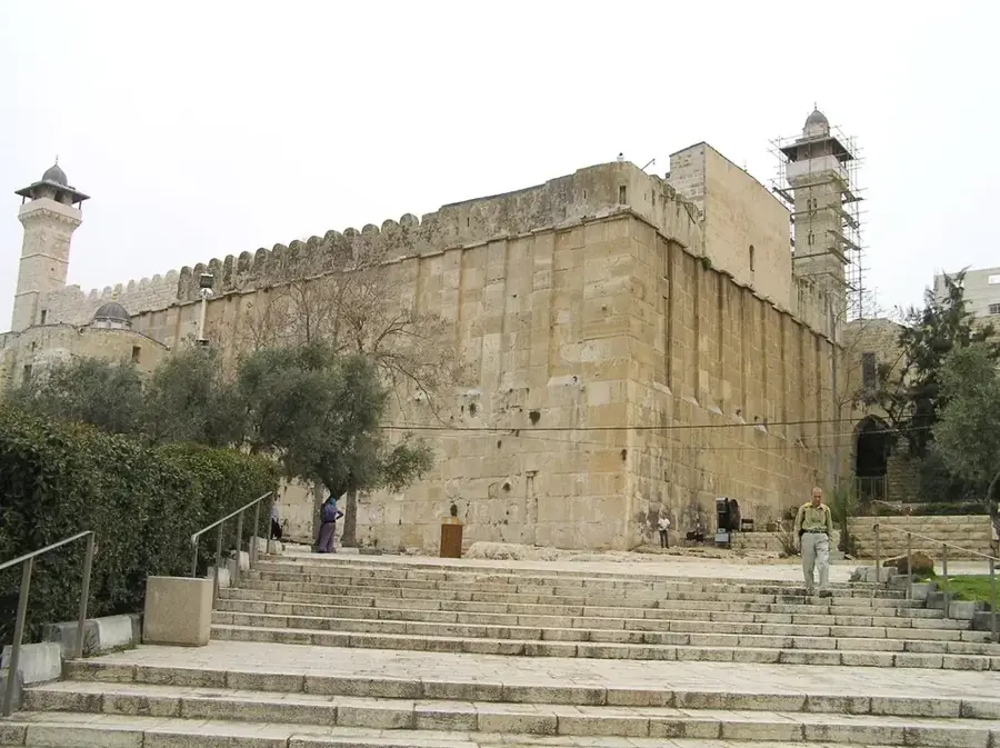
- Top sights: Ibn Othman Mosque · Amar ben Yasser Mosque · Al Rahman Mosque
- Nearby: Beit Lahiya (6 km)
Best time to visit & climate
The most pleasant time to visit is Apr, May, Nov.
| Jan | Feb | Mar | Apr | May | Jun | Jul | Aug | Sep | Oct | Nov | Dec | |
|---|---|---|---|---|---|---|---|---|---|---|---|---|
| Avg °C | 15 | 15 | 17 | 19 | 22 | 25 | 27 | 28 | 27 | 25 | 21 | 17 |
| Rain mm | 55 | 34 | 22 | 11 | 2 | 0 | 1 | 0 | 0 | 13 | 37 | 45 |
📋 Practical info
Geography
Facts
- Elevation of 524 meters above sea level
- Highest peak in the northern Judean Desert
- Historical site of the scapegoat ritual (Azazel)
- Contains the ruins of a Byzantine monastery
- Important vantage point for monitoring the desert
- Geologically characterized by hard limestone and flint
Explore nearby
Notable places around
Route planner — Car & Motorhome
Where do you start? We build the route here, with stops and country notes along the way.
© OpenStreetMap contributors · OpenRouteService
Sights in the town Mount Muntar (6)
Sights nearby
Frequently asked questions
Can one climb Muntar?
Is a guide required?
When is it safest?
How much water is needed?
Are there dangers from animals?
Mount Muntar: where is it located?
Mount Muntar: what is there to see?
Mount Muntar: when is the best time to visit?
Mount Muntar: why is it worth visiting?

Nearby cities