Plizio Visual Lab
Mount Gilo
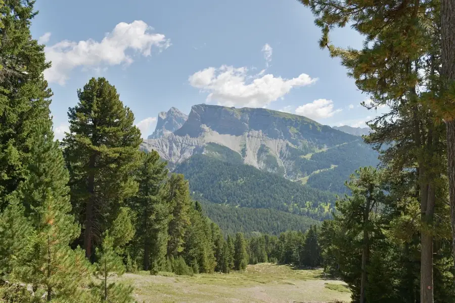
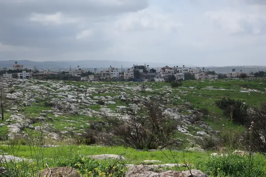
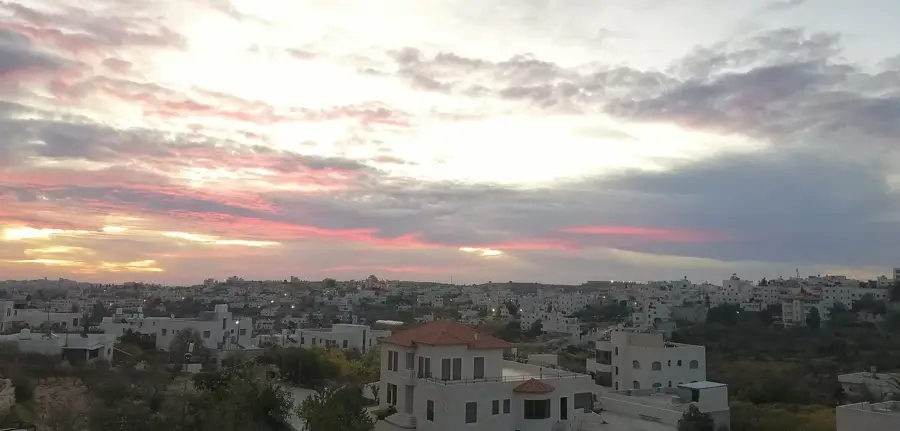
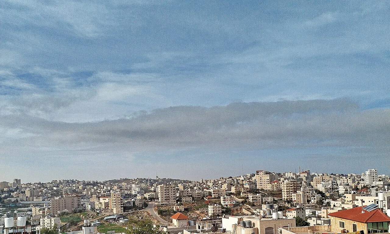
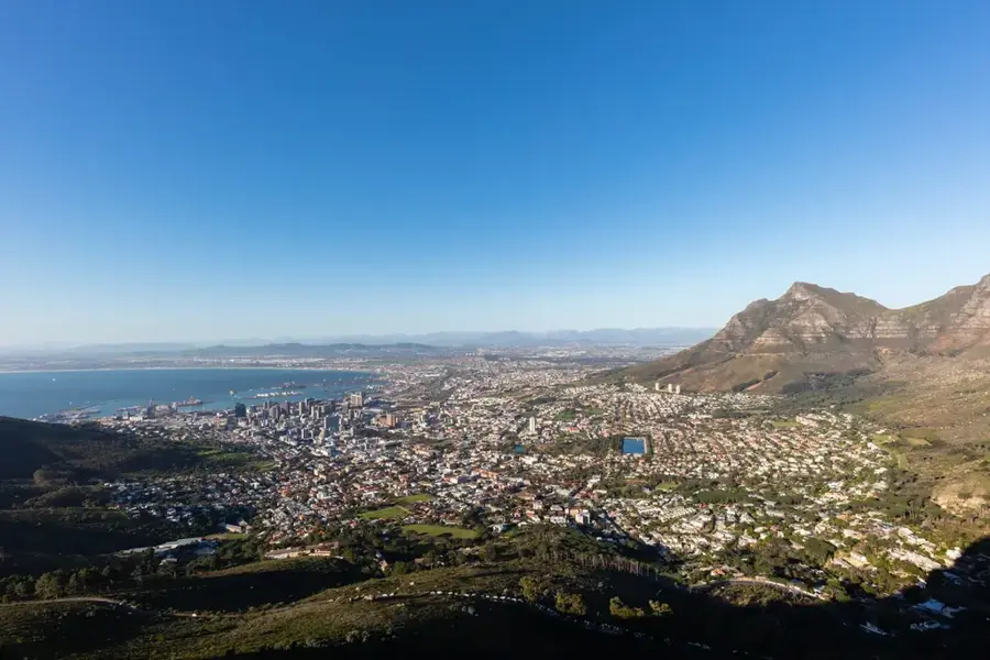
Mount Gilo, rising to an elevation of 923 meters south of Jerusalem, is one of the highest and most prominent peaks in the central highlands of Judea. Its strategic location provides dramatic panoramic views that extend from the outskirts of Jerusalem and Bethlehem to the Judean Desert and the Dead Sea in the distance. The mountain's terrain is characterized by limestone ridges and is home to a mix of native Mediterranean scrub and planted pine forests. Throughout history, its height made it a vital vantage point, and archaeological findings in the area suggest settlement dating back to ancient times. Today, Mount Gilo is known as both a residential area and a destination for those seeking natural beauty, with trails that allow visitors to explore its rugged slopes and enjoy the notably cooler mountain climate compared to the surrounding valleys.
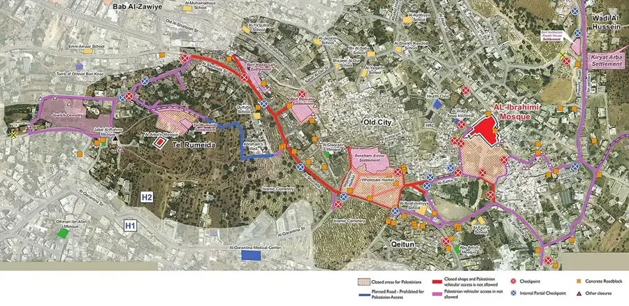
- Location: Palestinian Territories
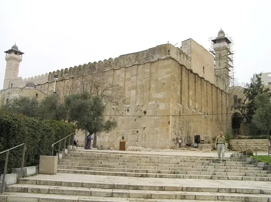
- Top sights: Old house · Cramisan Convent · Synagogue
- Nearby: Battir (5 km)
Best time to visit & climate
The most pleasant time to visit is Apr, May, Oct.
| Jan | Feb | Mar | Apr | May | Jun | Jul | Aug | Sep | Oct | Nov | Dec | |
|---|---|---|---|---|---|---|---|---|---|---|---|---|
| Avg °C | 10 | 12 | 15 | 18 | 22 | 25 | 27 | 27 | 25 | 22 | 17 | 12 |
| Rain mm | 59 | 42 | 27 | 15 | 4 | 0 | 1 | 0 | 2 | 12 | 31 | 48 |
📋 Practical info
Geography
Facts
- Reaches an elevation of 923 meters above sea level.
- Forms part of the central ridge of the Judean Mountains.
- Annual rainfall amounts are among the highest in the region.
- Hosts important communication and radar installations.
- Provides line-of-sight to the Dead Sea and the Mountains of Moab.
- The vegetation consists of Mediterranean maquis and pine trees.
Explore nearby
Notable places around
Route planner — Car & Motorhome
Where do you start? We build the route here, with stops and country notes along the way.
© OpenStreetMap contributors · OpenRouteService
Sights in the town Mount Gilo (5)
Sights nearby
Frequently asked questions
Is Mount Gilo a good hiking region?
Are there hiking trails there?
Is access safe?
What should one consider?
When best to visit?
Mount Gilo: where is it located?
Mount Gilo: what is there to see?
Mount Gilo: when is the best time to visit?
Mount Gilo: why is it worth visiting?

Nearby cities