Plizio Visual Lab
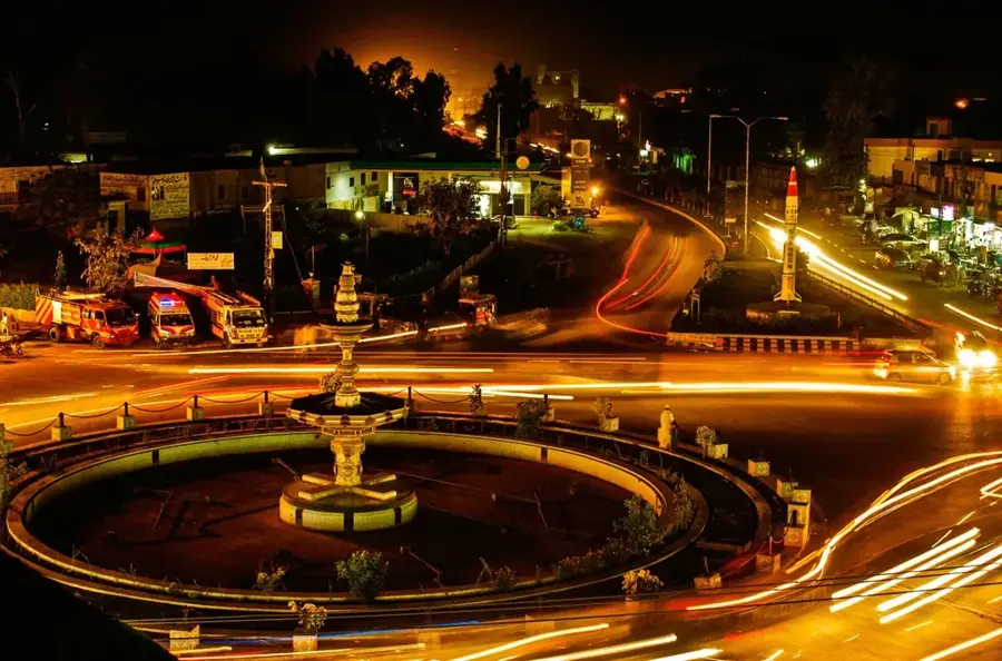
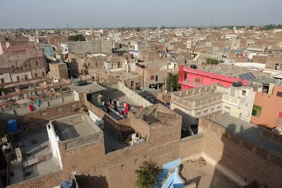
Pothohar Plateau
Weather…
Water temperature…
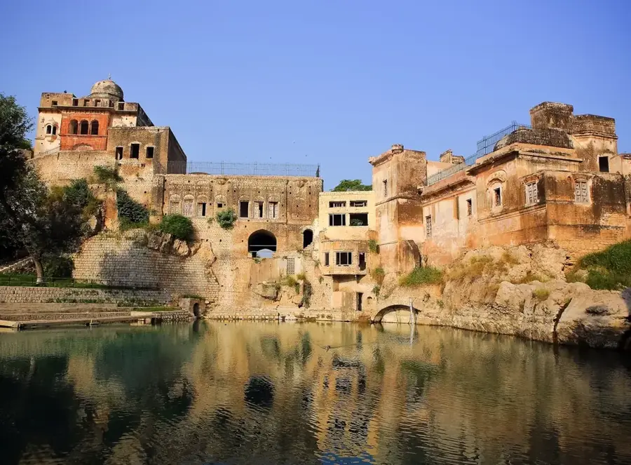
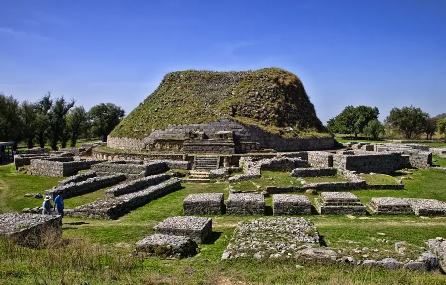
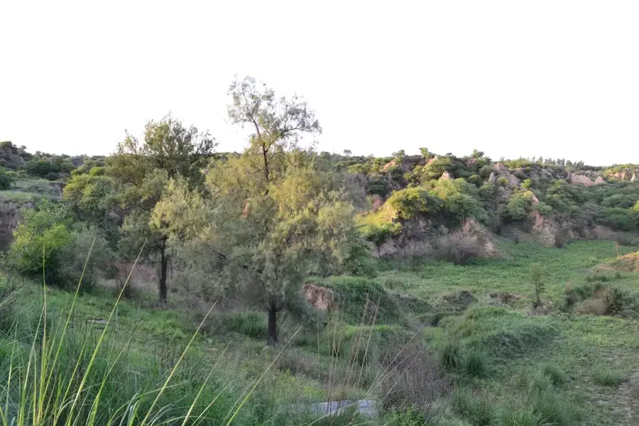
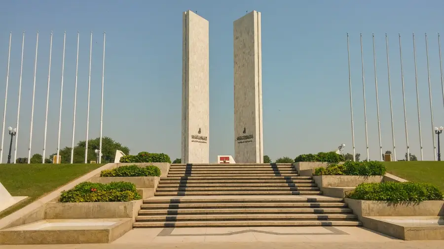
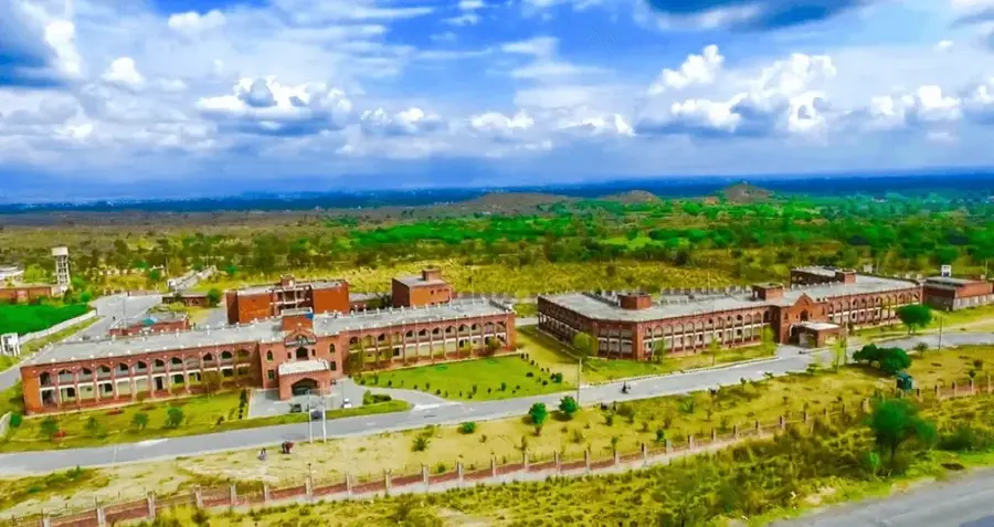
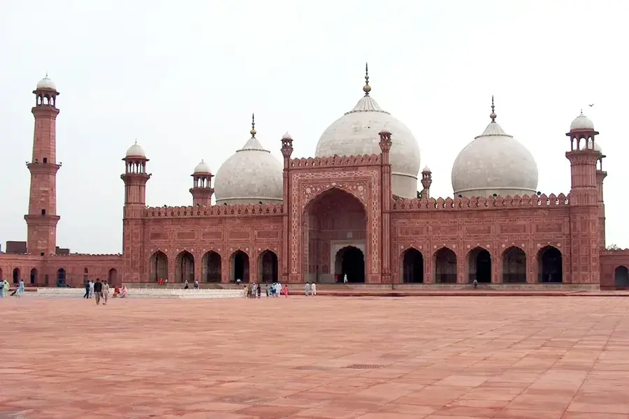
The Pothohar Plateau is a high-altitude plain in northern Punjab, Pakistan, bordered by the Indus and Jhelum rivers. It is one of the earliest sites of human habitation in South Asia, with archaeological finds dating back to the Soanian culture. The landscape is diverse, featuring ravines, hills, and fertile valleys. The region holds major strategic importance, hosting Pakistan's capital, Islamabad, and the garrison city of Rawalpindi. The plateau is rich in mineral resources, including petroleum, natural gas, and coal. Agriculture is a significant economic activity despite limited water resources. Rohtas Fort, a UNESCO World Heritage site, and the ruins of Taxila are major historical sites on the plateau.
- Location: Pakistan
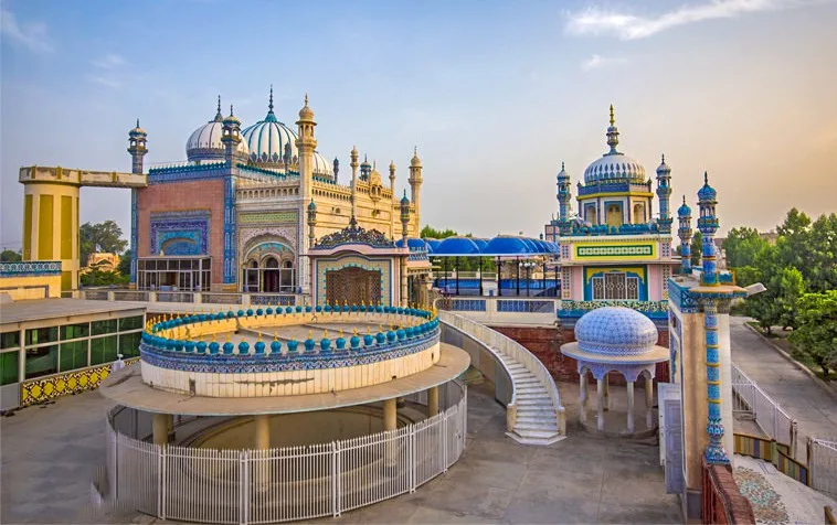
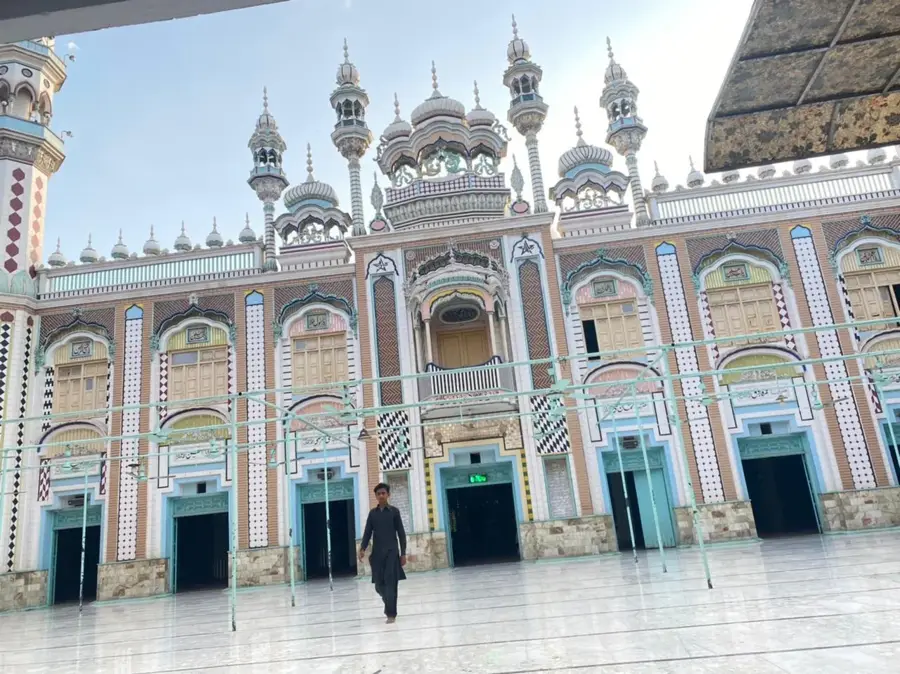
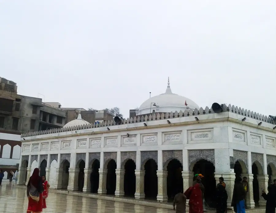
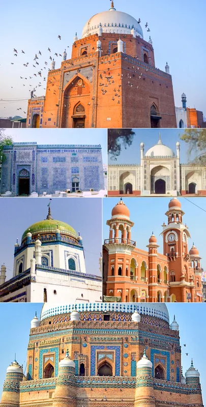
- Top sights: Eid Gah Jatli · Masjid Hanfia · Masjad Akbar
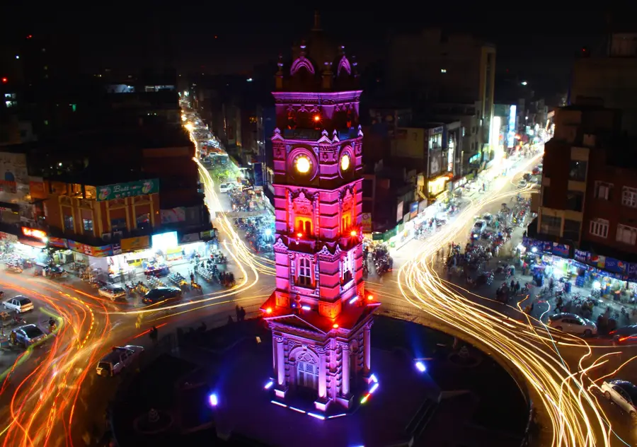
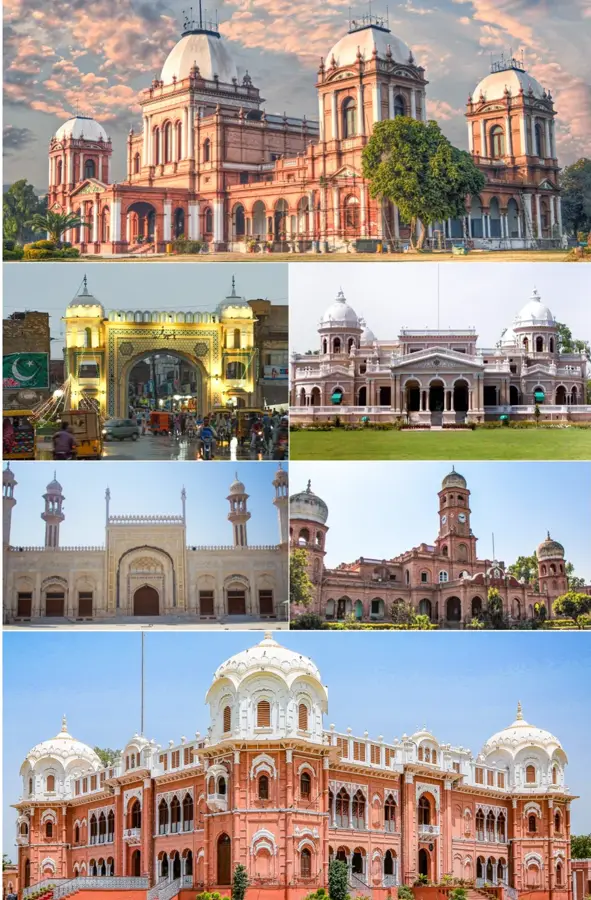
- Nearby: Rawalpindi (15 km)
Best time to visit & climate
The most pleasant time to visit is Mar, Oct, Nov.
| Jan | Feb | Mar | Apr | May | Jun | Jul | Aug | Sep | Oct | Nov | Dec | |
|---|---|---|---|---|---|---|---|---|---|---|---|---|
| Avg °C | 11 | 14 | 19 | 25 | 31 | 34 | 32 | 30 | 28 | 24 | 18 | 13 |
| Rain mm | 31 | 68 | 68 | 45 | 47 | 98 | 210 | 166 | 74 | 19 | 13 | 19 |
📋 Practical info
Geography
Facts
- The plateau has an average elevation of 300 to 600 meters.
- It is the site of the ancient civilization of Taxila.
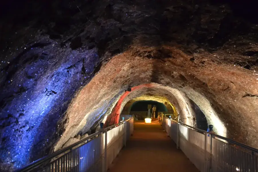
- The Khewra Salt Mine, the world's second-largest, is located nearby.
- The climate is semi-arid with hot summers and cold winters.
- The region is known for its groundnut (peanut) production.
- The Grand Trunk Road, an ancient trade route, crosses the plateau.
- The Soanian culture is a Paleolithic culture that existed in this region.
Explore nearby
Notable places around
Route planner — Car & Motorhome
Where do you start? We build the route here, with stops and country notes along the way.
© OpenStreetMap contributors · OpenRouteService
Sights in the town Pothohar Plateau (3)
Sights nearby
Frequently asked questions
What is the Pothohar Plateau?
Are there historical sites there?
How to reach the plateau?
What is the region known for?
Is it family-friendly?
Pothohar Plateau: where is it located?
Pothohar Plateau: what is there to see?
Pothohar Plateau: when is the best time to visit?
Pothohar Plateau: why is it worth visiting?

Nearby cities

History & landmarks
More places