Plizio Visual Lab
Trolltunga
ℹ️Practical info — Trolltunga
▾
🌤 Weather — 5 days
📍 Nearby
Sights nearby
💡 Tips
- This is a grueling 20-28km round trip. Start your hike before 8 AM to ensure you return before dark.
- Pre-book the P3 Mågelitopp parking or the shuttle buses months in advance to skip the steepest 4km asphalt section.
- There are no shelters, shops, or toilets on the mountain plateau. Bring all necessary food, water, and waste bags.
- Weather changes rapidly. Layer up with waterproof and windproof clothing, and never hike in heavy rain or high winds.
- The queue for a photo on the tongue can take 1-2 hours in peak summer; bring an extra jacket to stay warm while waiting.
🍽 Food
Buy fresh bread and sandwich supplies in Odda the day before; you will need high-energy food on the trail.
The iconic Norwegian hiking chocolate wafer. A mandatory treat when reaching the half-way point.
Reward your massive effort with a heavy, satisfying meal at a pub or restaurant in downtown Odda.
🛍 Shopping · 🧘 Quiet spots
If you are missing sturdy boots, poles, or a windbreaker, rent them from the tourist centers in Odda or Skjeggedal.
Pick up a t-shirt, badge, or local craft in Odda's tourist information center to commemorate the achievement.
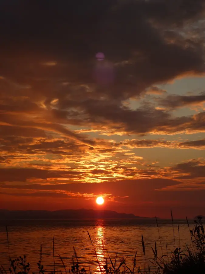
Before starting the harsh ascent, appreciate the calm, bustling blue waters of the lake at the base in Skjeggedal.
While everyone rushes to the main tongue, there are plenty of unnamed, safe ledges offering spectacular, crowd-free views of the fjord.
Water temperature…
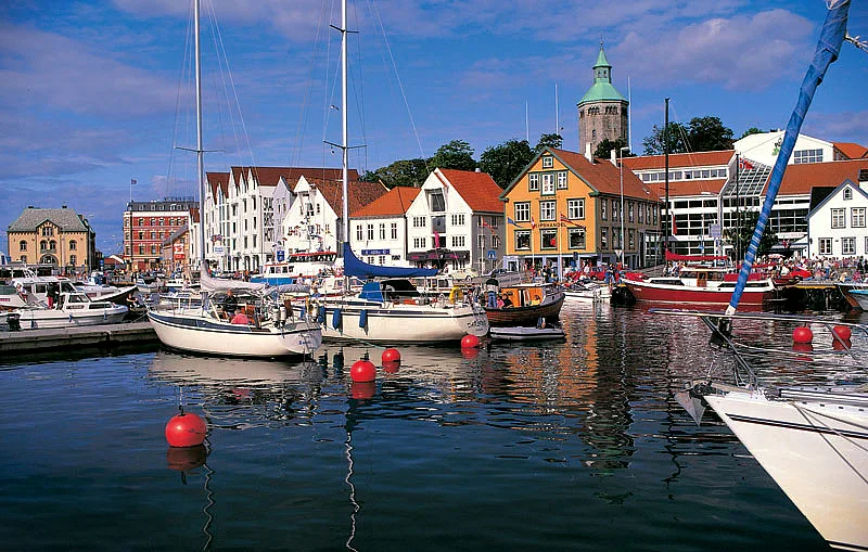
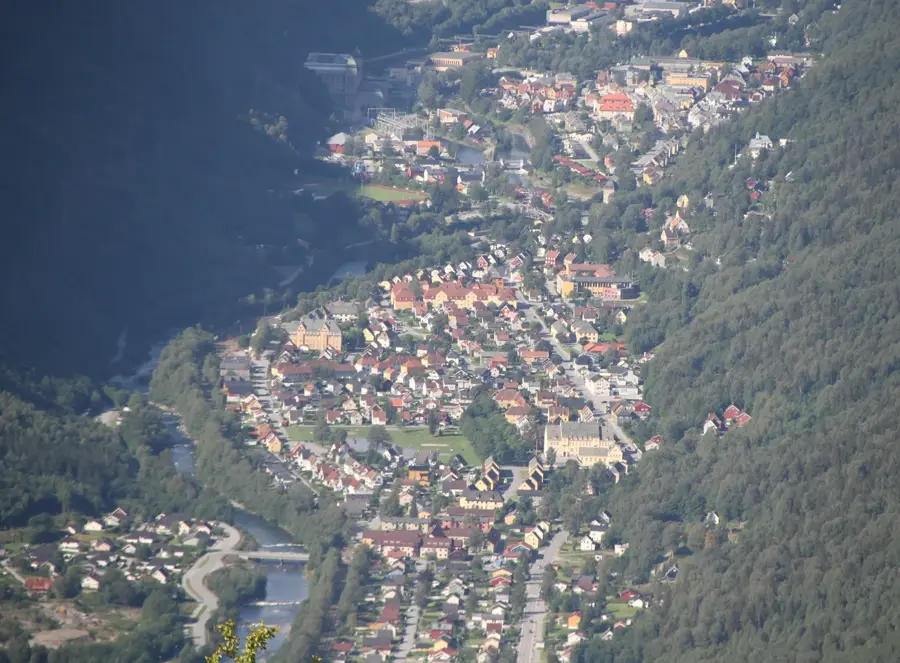
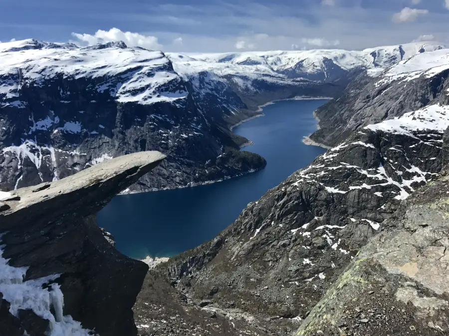
Trolltunga has become an icon of Norway's untamed wilderness. This rock ledge was formed during the Ice Age when glacial ice broke off chunks of the mountain, leaving behind this striking protrusion hanging 700 meters above the valley. The hike to Trolltunga is one of the country's most challenging yet rewarding treks, typically starting from Skjeggedal and spanning about 27 kilometers round trip with an 800-meter elevation gain. The reward for the strenuous effort is an unparalleled view of the deep blue Lake Ringedalsvatnet and the surrounding glaciated peaks of Folgefonna National Park. During peak season, queues often form for the famous photo opportunity at the tongue's edge. Safety is paramount: sturdy boots, plenty of supplies, and weatherproof clothing are essential due to sudden mountain weather shifts. The best time for the hike is from June to September when the snow has cleared. Outside this window, the trek is only advisable with professional guides and snowshoes. The town of Odda serves as the base camp for most visitors, providing campsites, hotels, and shuttle buses to the trailhead. For a unique experience, some hikers choose to camp near the formation to witness the sunrise in relative solitude.
- Location: Norway
- Top sights: Preikestolen · Troll tongue · Ringedalsvatnet
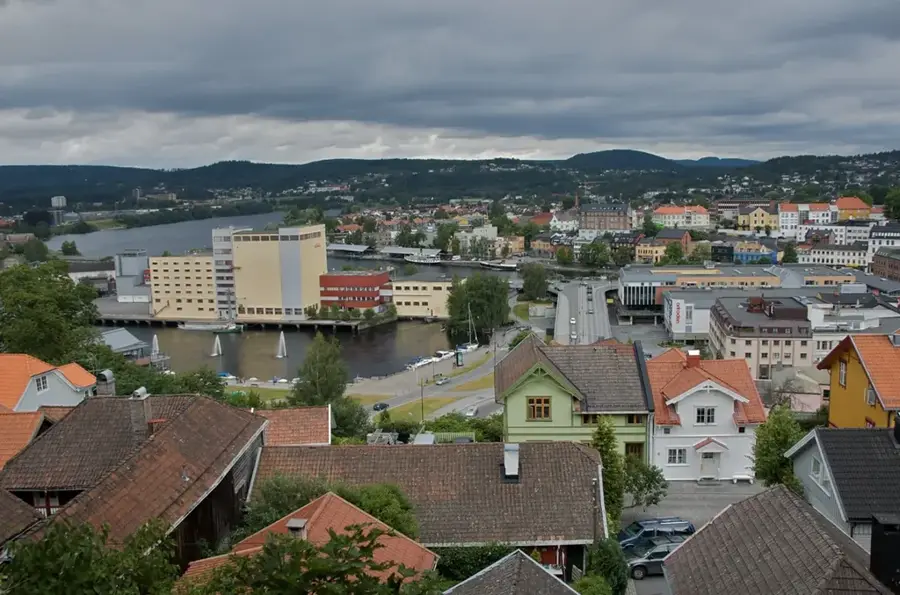
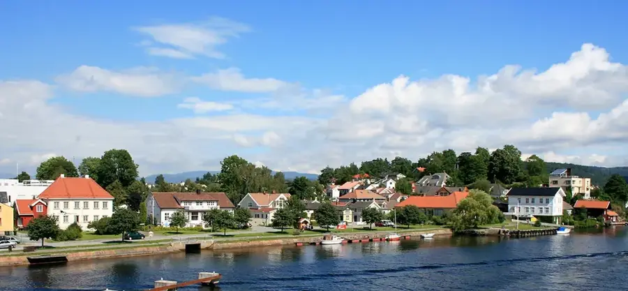
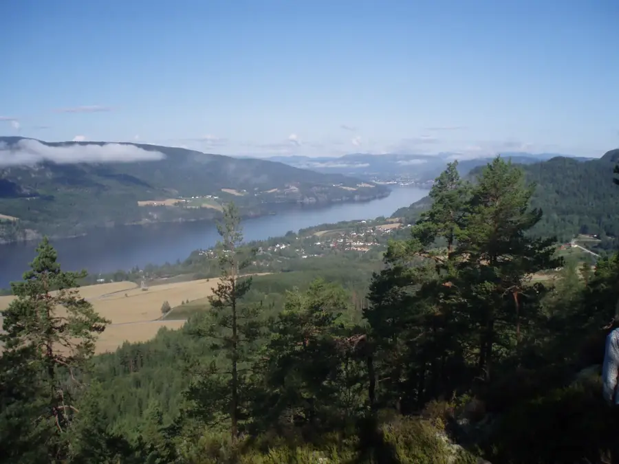
- Nearby: Odda (13 km)
Best time to visit & climate
The most pleasant time to visit is Jun–Aug.
| Jan | Feb | Mar | Apr | May | Jun | Jul | Aug | Sep | Oct | Nov | Dec | |
|---|---|---|---|---|---|---|---|---|---|---|---|---|
| Avg °C | -4 | -4 | -3 | 1 | 6 | 10 | 12 | 12 | 8 | 4 | -1 | -3 |
| Rain mm | 315 | 218 | 211 | 148 | 140 | 152 | 172 | 194 | 253 | 262 | 292 | 332 |
Geography
Facts
- Elevation: 1100 m above sea level
- 700 m drop below the rock tongue
- 27 km round trip hiking distance
- 800 m total ascent
- Views of Lake Ringedalsvatnet
- Close to Folgefonna Glacier
- Season: June to September
- Odda is the nearest base town
Explore nearby
Notable places around
Route planner — Car & Motorhome
Where do you start? We build the route here, with stops and country notes along the way.
© OpenStreetMap contributors · OpenRouteService
Sights in the town Trolltunga (3)
Frequently asked questions
How long does the Trolltunga hike take?
When is the best season for the hike?
Is there a shuttle bus?
Is the hike suitable for children?
Do you have to queue for a photo?
Trolltunga: where is it located?
Trolltunga: what is there to see?
Trolltunga: when is the best time to visit?
Trolltunga: why is it worth visiting?

Nearby cities