Plizio Visual Lab
Arch of Reunification
Weather…
Water temperature…
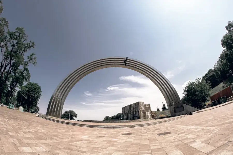
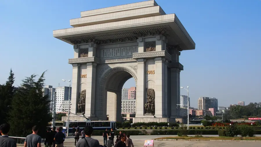
The Arch of Reunification was a monumental arch located at the southern entrance of Pyongyang, symbolizing the desire for Korean reunification. Completed in 2001, the structure featured two women in traditional dress holding a map of a unified Korea together. Each figure represented one side of the divided peninsula, North and South, joining hands to lift the nation. The arch spanned the 'Reunification Highway', which connects Pyongyang to the Demilitarized Zone (DMZ). The monument was based on the Three-Point Charter for National Reunification formulated by Kim Il-sung. Its base was decorated with commemorative plaques sent by supporters and organizations from around the world. In January 2024, the monument was demolished following orders from the North Korean leadership, signaling a drastic shift in the official policy regarding South Korea. Despite its removal, the arch remains a historically significant symbol of the inter-Korean reconciliation efforts that characterized the early 21st century.
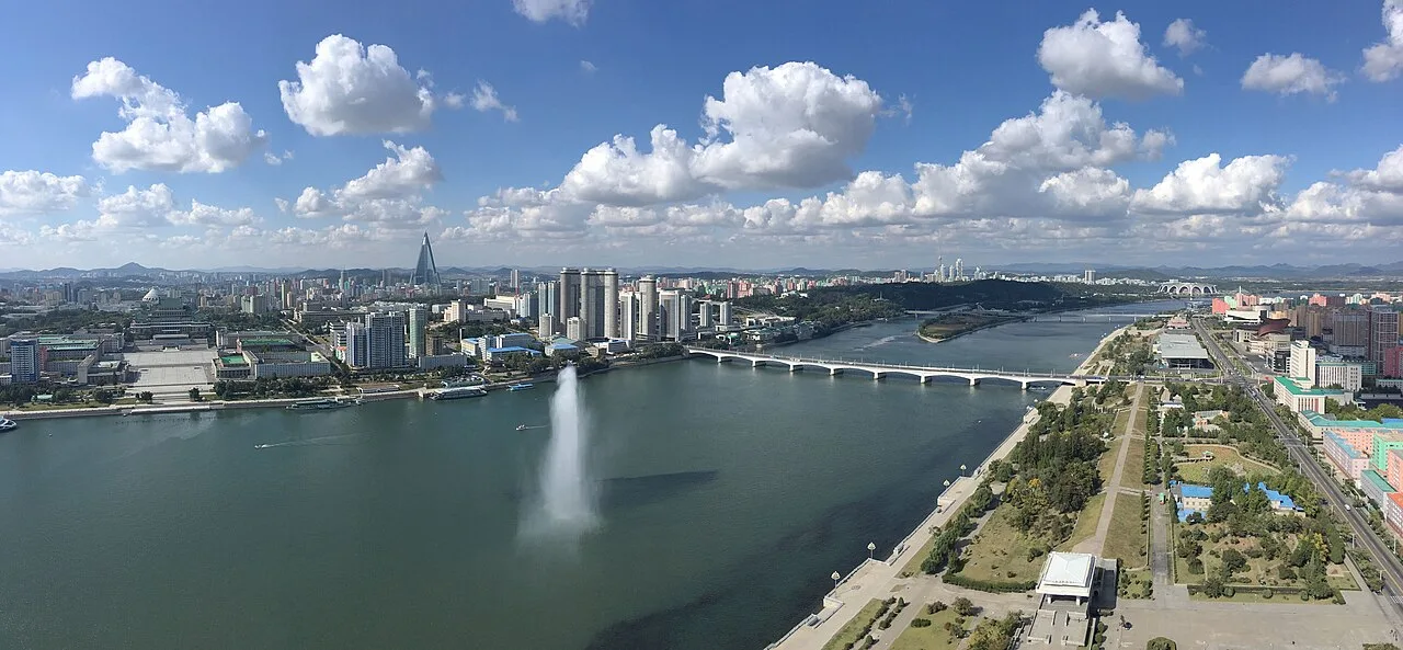
- Location: North Korea
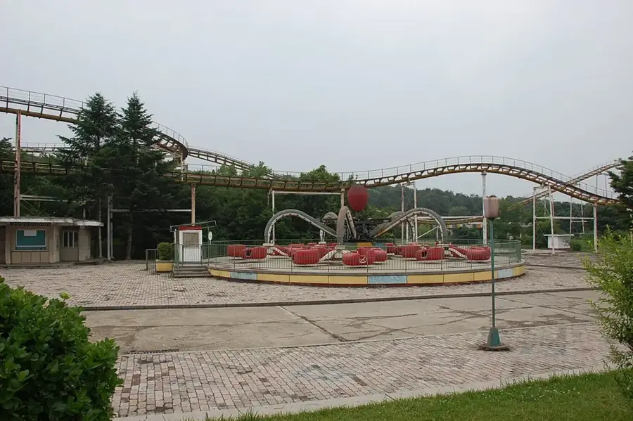
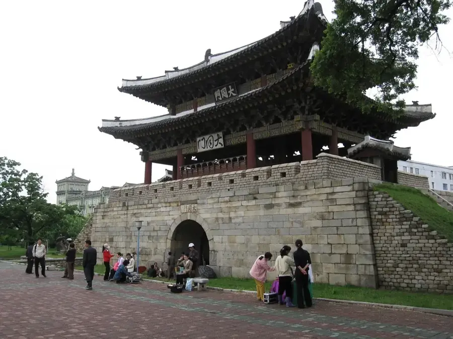
- Top sights: Lee In-mo Memorial · Rangnang Museum · Sunhwagang Bridge
- Nearby: Mount Ryongak (10 km)
Best time to visit & climate
The most pleasant time to visit is May, Jun, Sep.
| Jan | Feb | Mar | Apr | May | Jun | Jul | Aug | Sep | Oct | Nov | Dec | |
|---|---|---|---|---|---|---|---|---|---|---|---|---|
| Avg °C | -6 | -3 | 3 | 9 | 16 | 22 | 24 | 24 | 19 | 13 | 4 | -3 |
| Rain mm | 9 | 18 | 23 | 54 | 76 | 98 | 281 | 236 | 97 | 46 | 47 | 17 |
📋 Practical info
Geography
Facts
- The monument was officially dedicated in 2001.
- The two female figures stood at a height of 30 meters.
- The arch spanned a total width of 61.5 meters over the highway.
- It was located on the main road leading from Pyongyang to the DMZ.
- The arch was completely demolished in January 2024 by state order.
- The map held by the women represented a unified Korea without internal borders.
Explore nearby
Notable places around
Route planner — Car & Motorhome
Where do you start? We build the route here, with stops and country notes along the way.
© OpenStreetMap contributors · OpenRouteService
Sights in the town Arch of Reunification (5)
Sights nearby
Frequently asked questions
What does the Arch of Reunification represent?
Where exactly is this monument located?
Is it allowed to stop at the arch for photos?
When was the arch erected?
How large is the structure?
Arch of Reunification: where is it located?
Arch of Reunification: what is there to see?
Arch of Reunification: when is the best time to visit?
Arch of Reunification: why is it worth visiting?

Nearby cities
History & landmarks
Nature
More places