Plizio Visual Lab
Yobe Lowlands
Weather…
Water temperature…
The Yobe Lowlands in northeastern Nigeria are part of the vast Chad Basin, a structural depression formed by the sagging of the Earth's crust. The relief is predominantly flat, sitting mostly below 300 meters above sea level, characterized by sandy plains and fossilized dune formations. A central feature is the Komadougou Yobe River, which flows through the semi-arid Sahelian landscape and sustains vital wetlands like the Hadejia-Nguru system. Geologically, the basin consists of thick layers of Quaternary sediments, reflecting the prehistoric fluctuations of Lake Chad. The climate is semi-arid with a short rainy season, restricting vegetation to thorny scrub savanna and seasonal grasses. This landscape is ecologically highly sensitive, serving as a critical stopover for migratory birds and a home to nomadic pastoralist communities.
Best time to visit & climate
The most pleasant time to visit is Jan, Feb, Dec.
| Jan | Feb | Mar | Apr | May | Jun | Jul | Aug | Sep | Oct | Nov | Dec | |
|---|---|---|---|---|---|---|---|---|---|---|---|---|
| Avg °C | 22 | 26 | 29 | 33 | 34 | 32 | 29 | 27 | 28 | 28 | 26 | 23 |
| Rain mm | 0 | 0 | 0 | 4 | 21 | 66 | 139 | 202 | 90 | 16 | 2 | 0 |
📋 Practical info
Geography
Facts
- The Yobe Lowlands are situated almost entirely below 300 meters elevation.
- The Komadougou Yobe River is the primary water source in this arid zone.
- The Hadejia-Nguru wetlands are designated as a RAMSAR site of importance.
- The relief features 'fossil dunes' which indicate past drier climates.
- Over 300 species of birds frequent the wetlands during migration seasons.
- The basin's geological sediments can reach depths of several hundred meters.
Explore nearby
Notable places around
Route planner — Car & Motorhome
Where do you start? We build the route here, with stops and country notes along the way.
© OpenStreetMap contributors · OpenRouteService
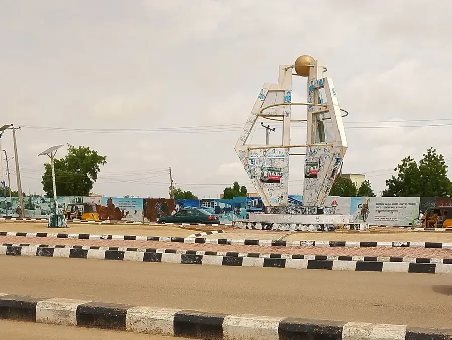
Sights in the town Yobe Lowlands (1)
Sights nearby
Frequently asked questions
What is the Yobe lowlands?
Are there tourist destinations there?
What is the climate like?
Do you need a guide?
When should you go?
Yobe Lowlands: where is it located?
Yobe Lowlands: when is the best time to visit?
Yobe Lowlands: why is it worth visiting?