Plizio Visual Lab
Mont Panié
Weather…
Water temperature…
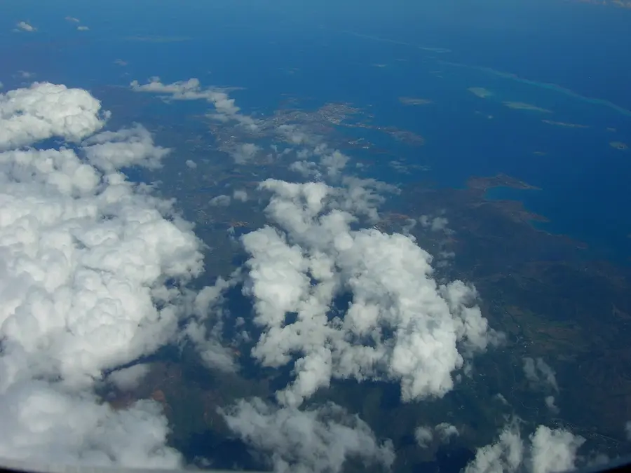
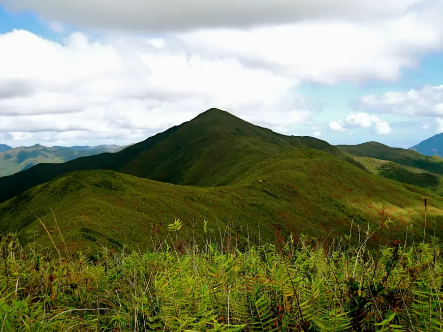
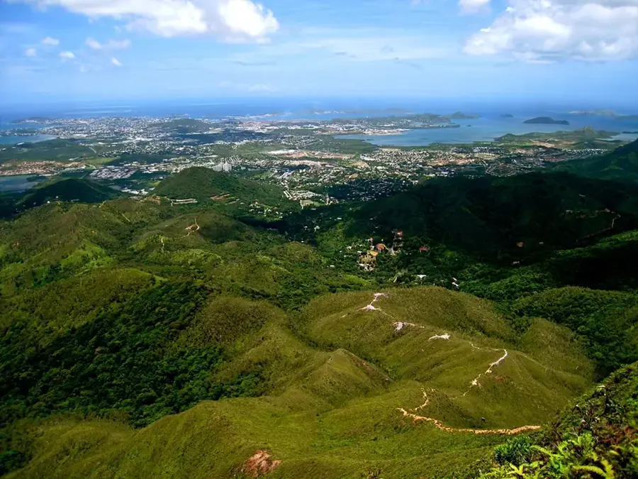
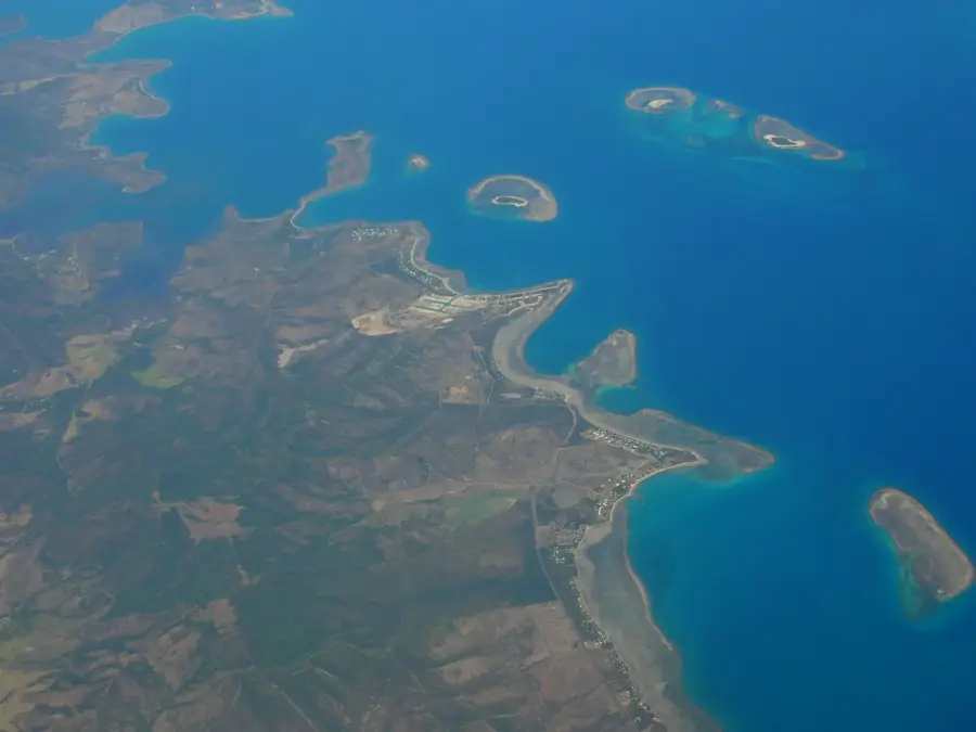
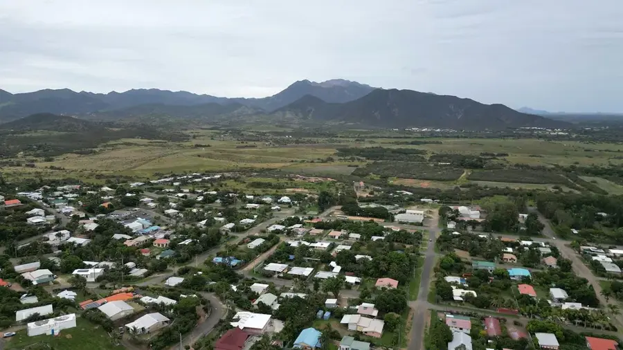
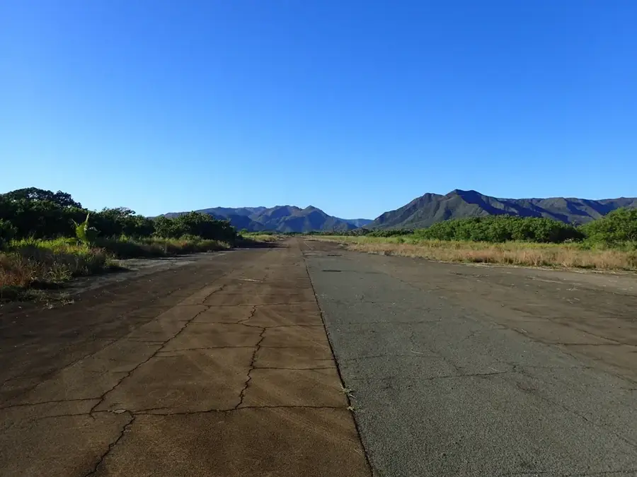
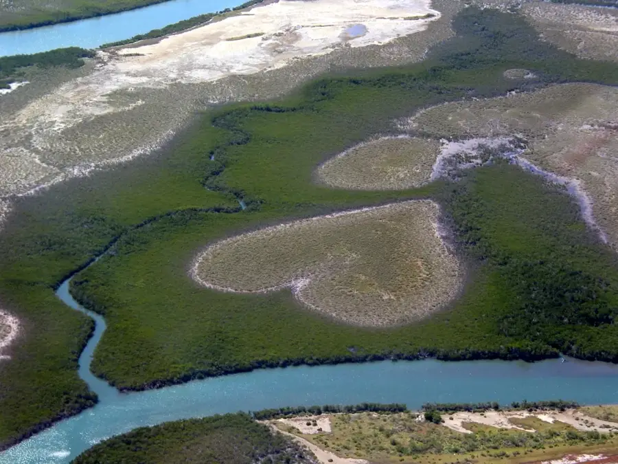
Mont Panié is the crowning peak of New Caledonia, rising to 1,628 meters in the northeastern reaches of the Grande Terre island. As the highest point in the entire archipelago, it anchors the Panié Massif and serves as one of the world's most significant hotspots for biodiversity. The mountain is draped in dense, cloud-shrouded rainforests that are home to an extraordinary density of endemic flora, most notably the rare Araucaria schmidii, which is found nowhere else on Earth. Because of its ecological fragility and uniqueness, the area is designated as a strictly protected nature reserve. For seasoned trekkers, the ascent is a demanding but rewarding journey through prehistoric landscapes, culminating in panoramic views of the coral sea and the lush valleys below. Beyond its natural importance, Mont Panié holds deep spiritual significance for the local Kanak people, who revere it as a sacred site, ensuring its preservation as both a natural and cultural treasure.
- Location: New Caledonia
- Top sights: Mont Panié · Réserve Botanique du Mont Panié
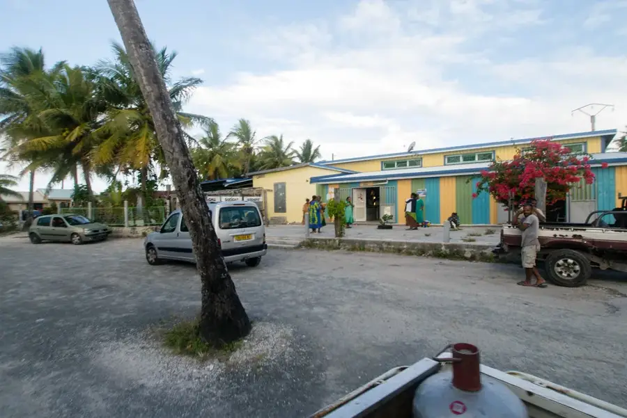
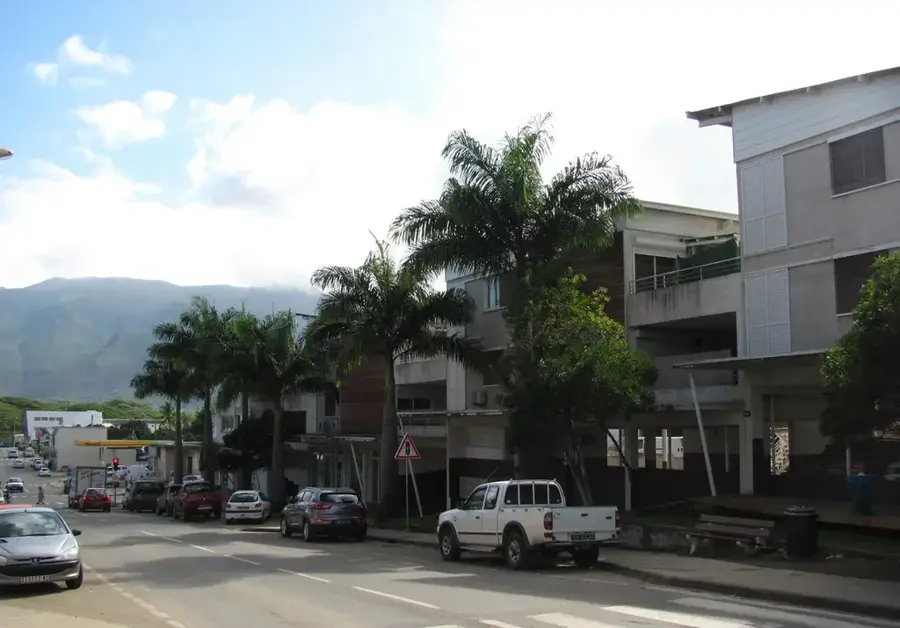
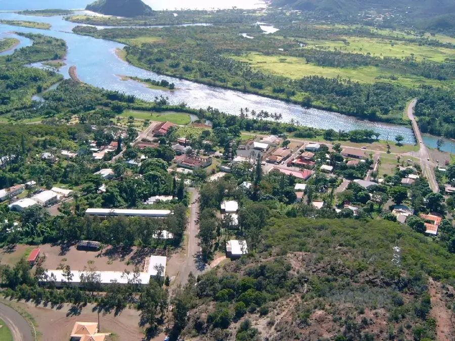
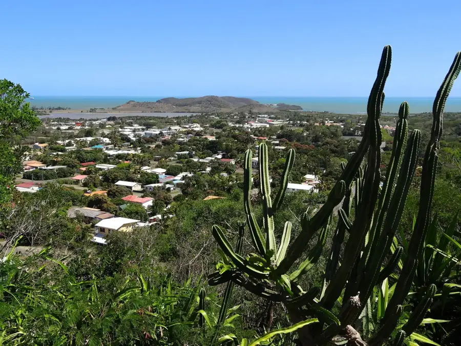
- Nearby: Hienghène (21 km)
Best time to visit & climate
The most pleasant time to visit is Jul–Sep.
| Jan | Feb | Mar | Apr | May | Jun | Jul | Aug | Sep | Oct | Nov | Dec | |
|---|---|---|---|---|---|---|---|---|---|---|---|---|
| Avg °C | 27 | 27 | 27 | 26 | 24 | 23 | 22 | 22 | 22 | 24 | 25 | 26 |
| Rain mm | 162 | 166 | 228 | 141 | 102 | 86 | 57 | 52 | 44 | 54 | 77 | 119 |
📋 Practical info
Geography
Facts
- Highest point in the territory at 1,628 meters.
- Home to the endemic kauri tree Agathis montana.
- Part of a nature reserve established in 1950.
- Annual rainfall can reach up to 10,000 mm.
- Crucial habitat for the New Caledonian Giant Gecko.
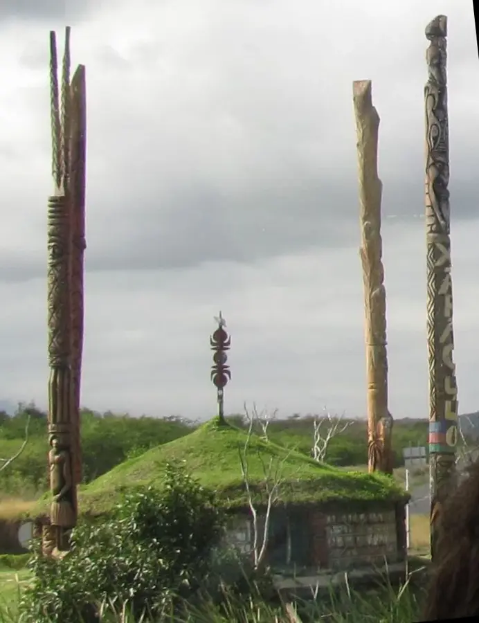
- Climbing requires permission from local Kanak tribes.
Explore nearby
Notable places around
Route planner — Car & Motorhome
Where do you start? We build the route here, with stops and country notes along the way.
© OpenStreetMap contributors · OpenRouteService
Sights in the town Mont Panié (2)
Sights nearby
Frequently asked questions
Is hiking to the summit difficult?
Do I need a guide?
What is the best season?
How long does the ascent take?
Do I need to obtain a permit?
Mont Panié: where is it located?
Mont Panié: what is there to see?
Mont Panié: when is the best time to visit?
Mont Panié: why is it worth visiting?

Nearby cities


History & landmarks
More places