Plizio Visual Lab
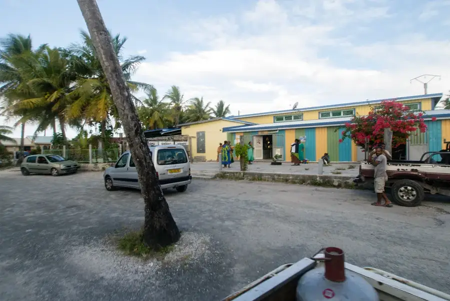
Mont Panié Nature Reserve
Weather…
Water temperature…
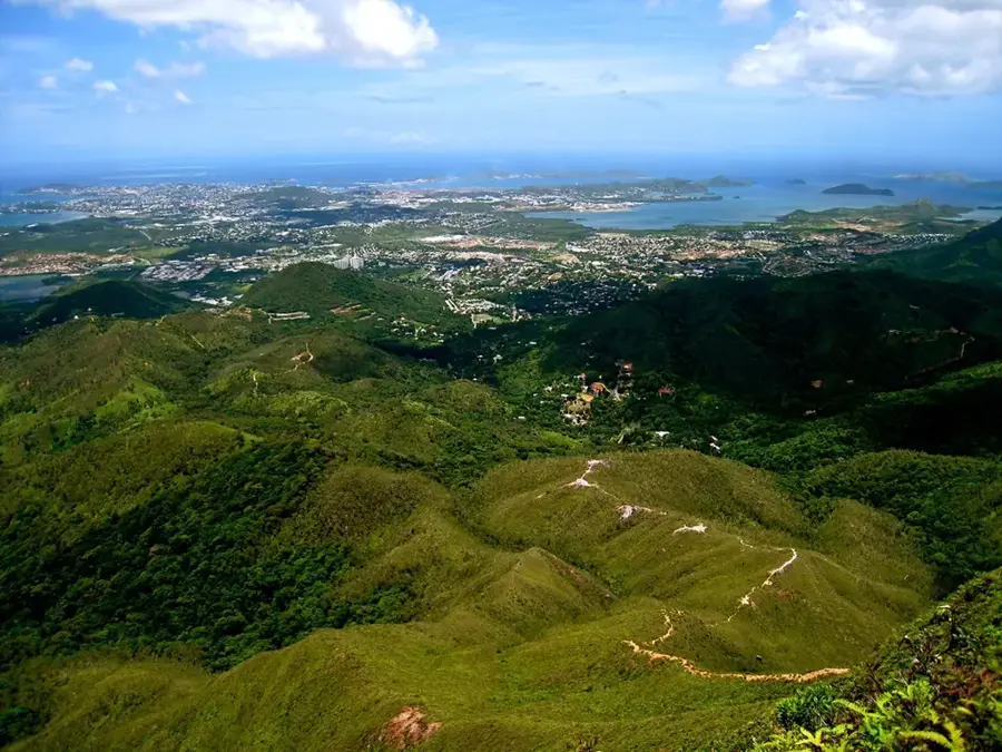
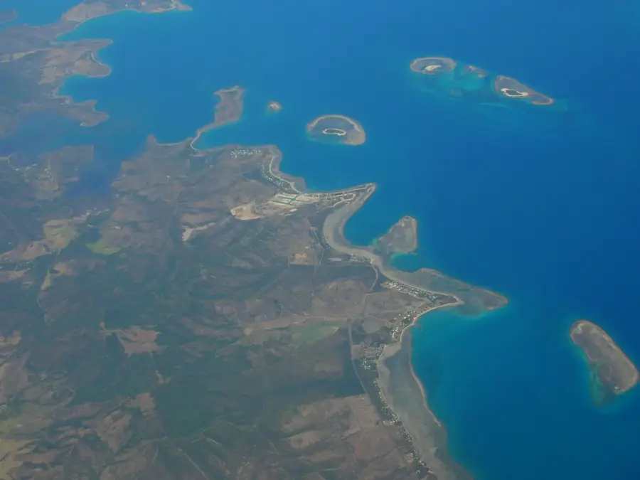
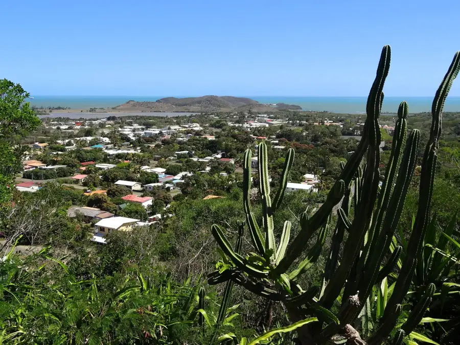
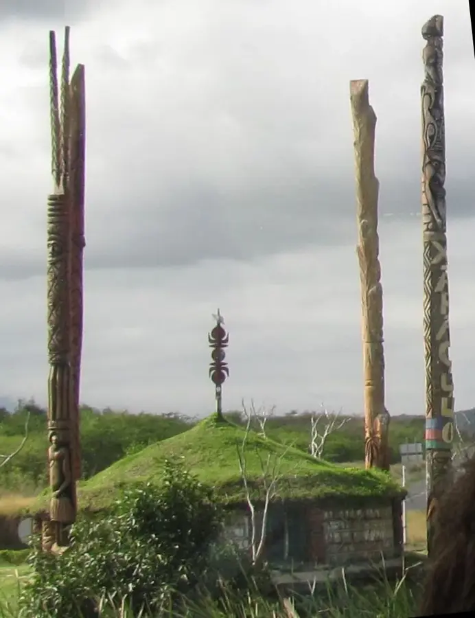
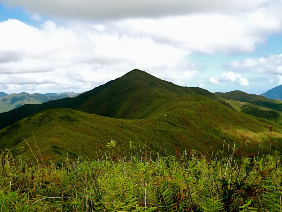
The Mont Panié Nature Reserve encompasses the highest peak in New Caledonia, rising majestically to 1,628 meters in the island's North Province. This reserve is a critical sanctuary for global biodiversity, hosting a remarkable density of endemic species that evolved in isolation over millions of years. Most famous among its flora is the Agathis montana, a rare kauri pine found exclusively on the higher slopes of this mountain range. The lush cloud forest that blankets the summit acts as a vital watershed, trapping moisture from the trade winds to feed the rivers of the valleys below. For the local Kanak people, Mont Panié is far more than a mountain; it is a sacred site deeply embedded in their spiritual traditions and ancestral heritage. While the core zone is strictly protected to safeguard its fragile ecosystem from invasive species and human impact, the surrounding trails offer intrepid hikers dramatic views and an unparalleled look at the unique botanical treasures of the archipelago.
- Location: New Caledonia
- Top sights: Mont Panié · Réserve Botanique du Mont Panié
- Nearby: Hienghène (21 km)
Best time to visit & climate
The most pleasant time to visit is Jul–Sep.
| Jan | Feb | Mar | Apr | May | Jun | Jul | Aug | Sep | Oct | Nov | Dec | |
|---|---|---|---|---|---|---|---|---|---|---|---|---|
| Avg °C | 27 | 27 | 27 | 26 | 24 | 23 | 22 | 22 | 22 | 24 | 25 | 26 |
| Rain mm | 162 | 166 | 228 | 141 | 102 | 86 | 57 | 52 | 44 | 54 | 77 | 119 |
📋 Practical info
Geography
Facts
- Highest point: 1628 meters above sea level
- Establishment of the protected area in 1950
- Presence of 13 different Araucaria species
- Average annual rainfall exceeds 3000 mm
- Located in the North Province of Grande Terre
- Home to the rare endemic plant Paratrophis baillonii
Explore nearby
Notable places around
Route planner — Car & Motorhome
Where do you start? We build the route here, with stops and country notes along the way.
© OpenStreetMap contributors · OpenRouteService
Sights in the town Mont Panié Nature Reserve (2)
Sights nearby
Frequently asked questions
Is a guided tour necessary?
What equipment do I need?
What is the difficulty level of the hike?
Are there accommodations nearby?
What is the best season?
Mont Panié Nature Reserve: where is it located?
Mont Panié Nature Reserve: what is there to see?
Mont Panié Nature Reserve: when is the best time to visit?
Mont Panié Nature Reserve: why is it worth visiting?

Nearby cities