Plizio Visual Lab
Mont Ignambi
Weather…
Water temperature…
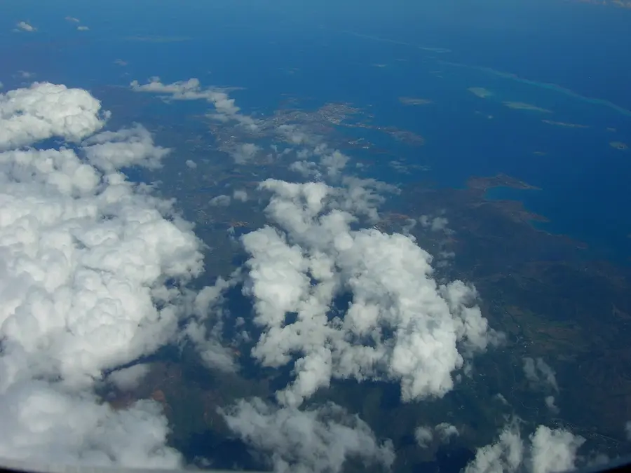
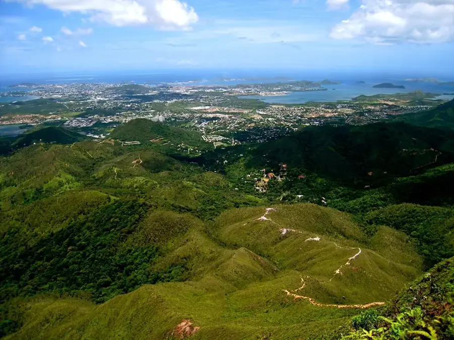
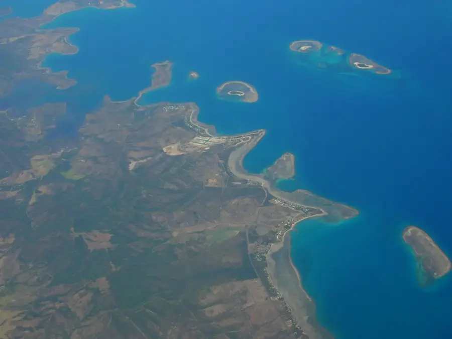
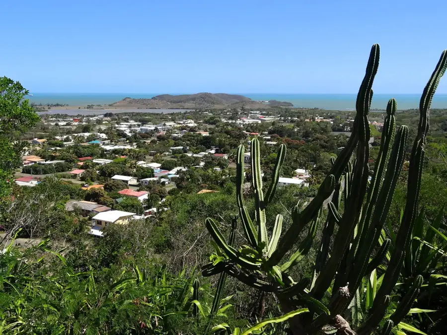
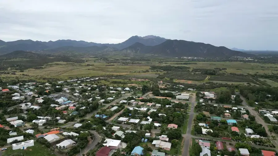
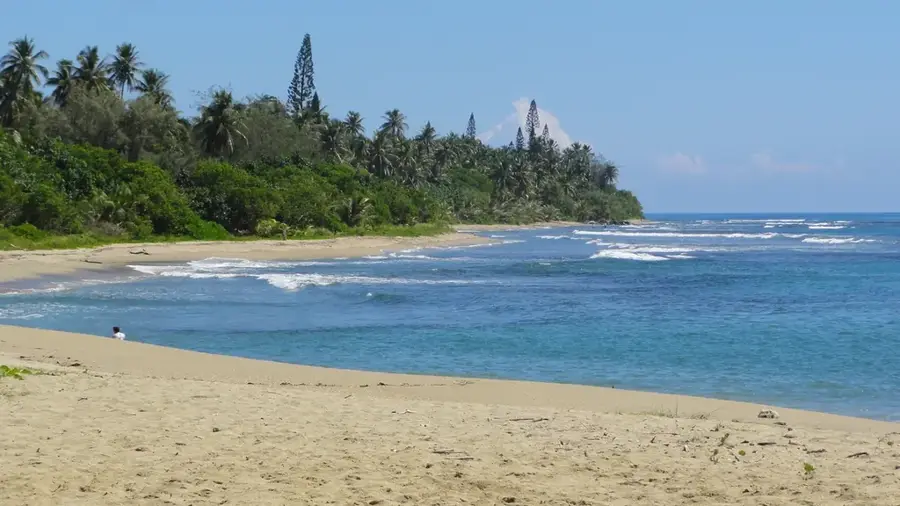
Mont Ignambi rises to an elevation of 1,311 meters in the far north of Grande Terre, the main island of New Caledonia. As a prominent peak within the Panié massif, it is characterized by its incredibly steep slopes and rugged, ancient geological formations. The mountain is blanketed in dense, humid cloud forests that serve as a sanctuary for a vast array of endemic flora and fauna, many of which are unique to this specific northern microclimate. Its remote location has helped preserve its ecological integrity, making it a vital area for biodiversity conservation and botanical research. The slopes are frequently shrouded in mist, providing the necessary moisture for specialized species like the iconic Kauri trees to flourish. Part of a larger protected area, Mont Ignambi provides a challenging terrain for experienced trekkers, rewarding them with dramatic views of the surrounding coral reefs and the turquoise lagoon when the clouds part. It remains a powerful symbol of New Caledonia's wild and untamed northern landscapes.
- Location: New Caledonia
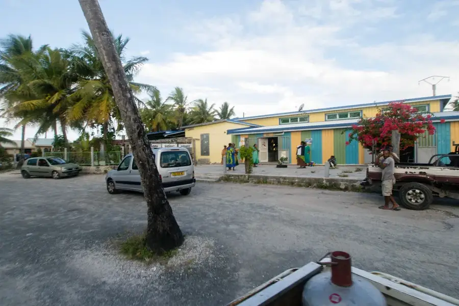
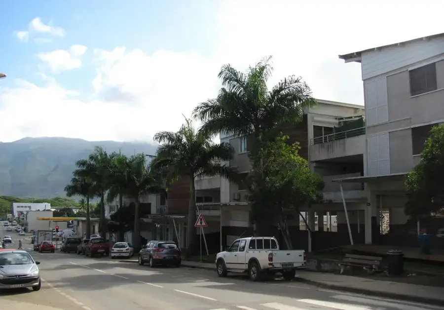
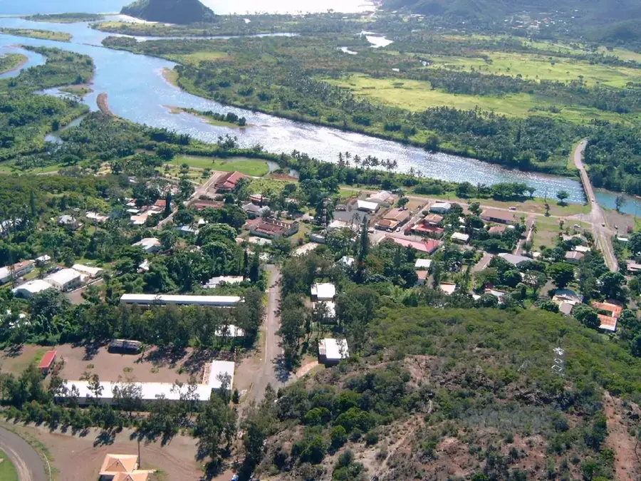
- Nearby: Pouébo (9 km)
Best time to visit & climate
The most pleasant time to visit is Jul–Sep.
| Jan | Feb | Mar | Apr | May | Jun | Jul | Aug | Sep | Oct | Nov | Dec | |
|---|---|---|---|---|---|---|---|---|---|---|---|---|
| Avg °C | 27 | 27 | 27 | 26 | 24 | 23 | 22 | 22 | 23 | 24 | 25 | 27 |
| Rain mm | 133 | 151 | 201 | 117 | 91 | 73 | 47 | 46 | 33 | 40 | 59 | 93 |
📋 Practical info
Geography
Facts
- Height of 1311 meters
- Located near Ouégoa
- Composed of mica-schist
- Part of the northern Chaîne Centrale
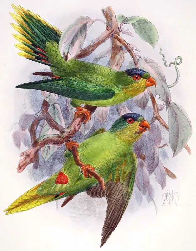
- Occurrence of Kentiopsis pyriformis
- Steep geographical profiles
Explore nearby
Notable places around
Route planner — Car & Motorhome
Where do you start? We build the route here, with stops and country notes along the way.
© OpenStreetMap contributors · OpenRouteService
Sights nearby
Frequently asked questions
Is Mont Ignambi touristically developed?
Who is this mountain for?
Are there marked paths?
Can you attempt the climb alone?
What is special about this place?
Mont Ignambi: where is it located?
Mont Ignambi: when is the best time to visit?
Mont Ignambi: why is it worth visiting?

Nearby cities


History & landmarks
More places