Plizio Visual Lab
Mont Tsibaï

Weather…
Water temperature…
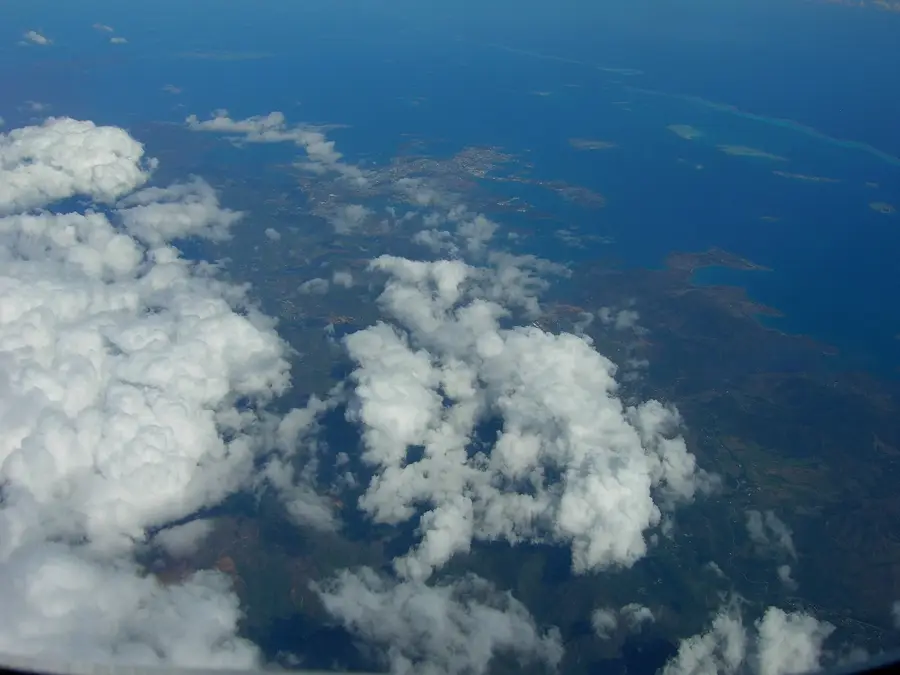
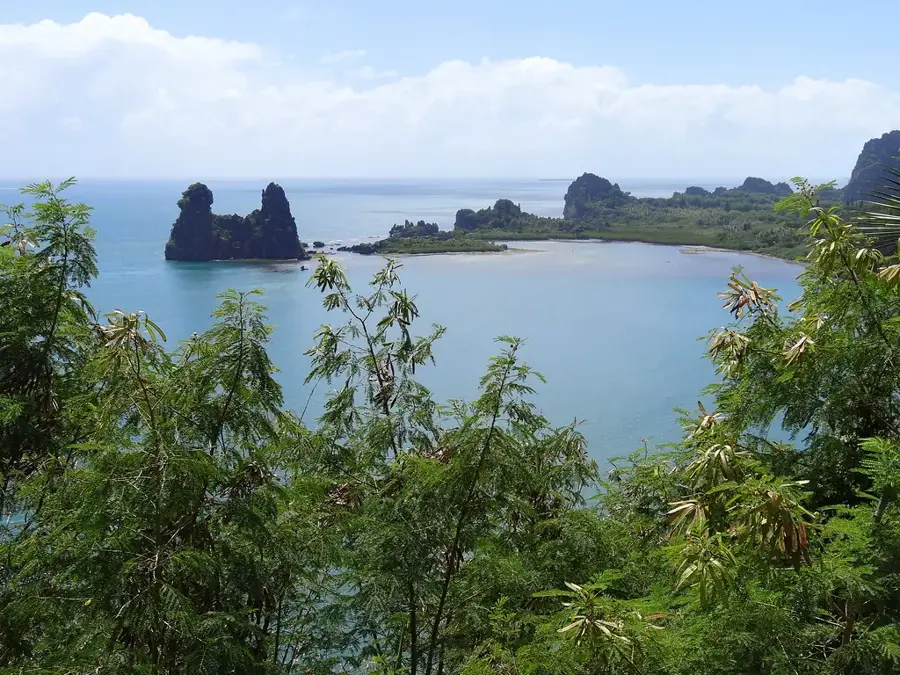
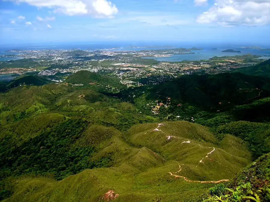
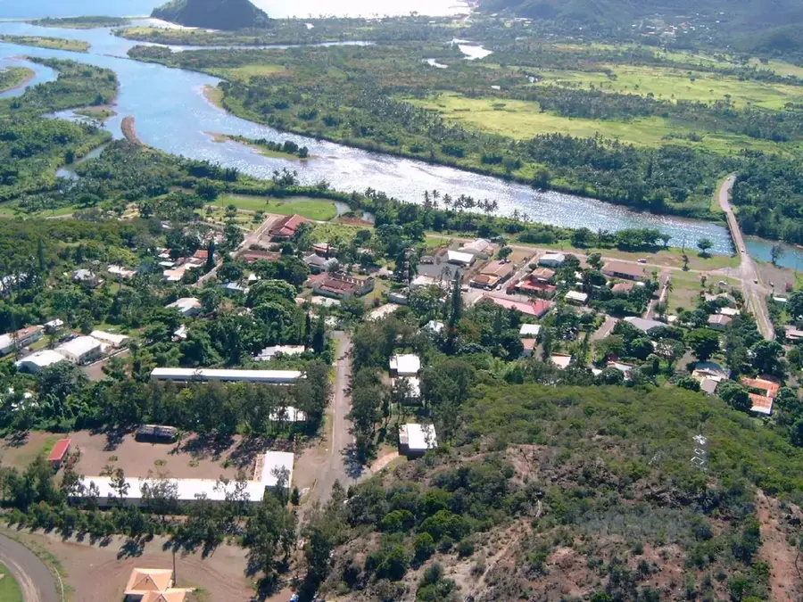
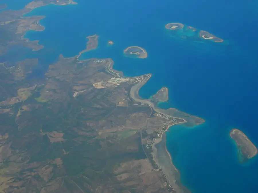
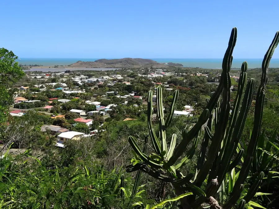
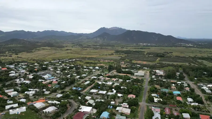
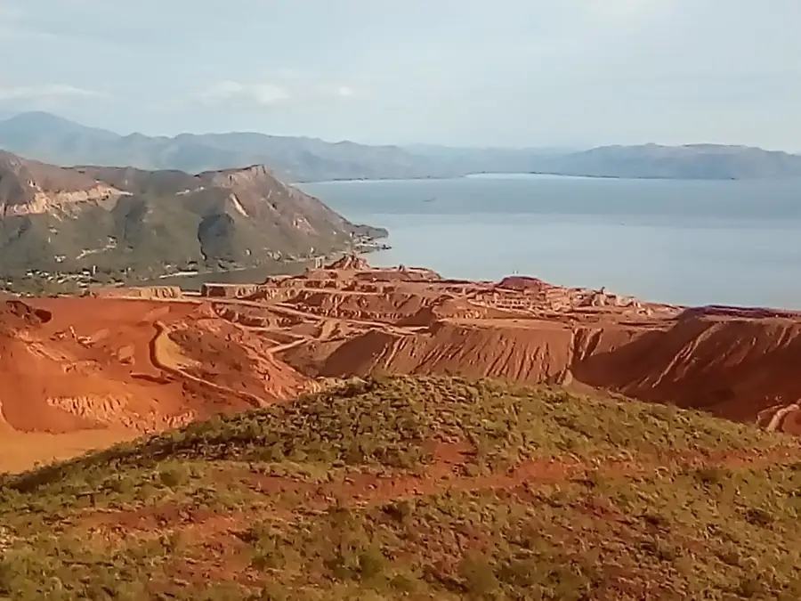
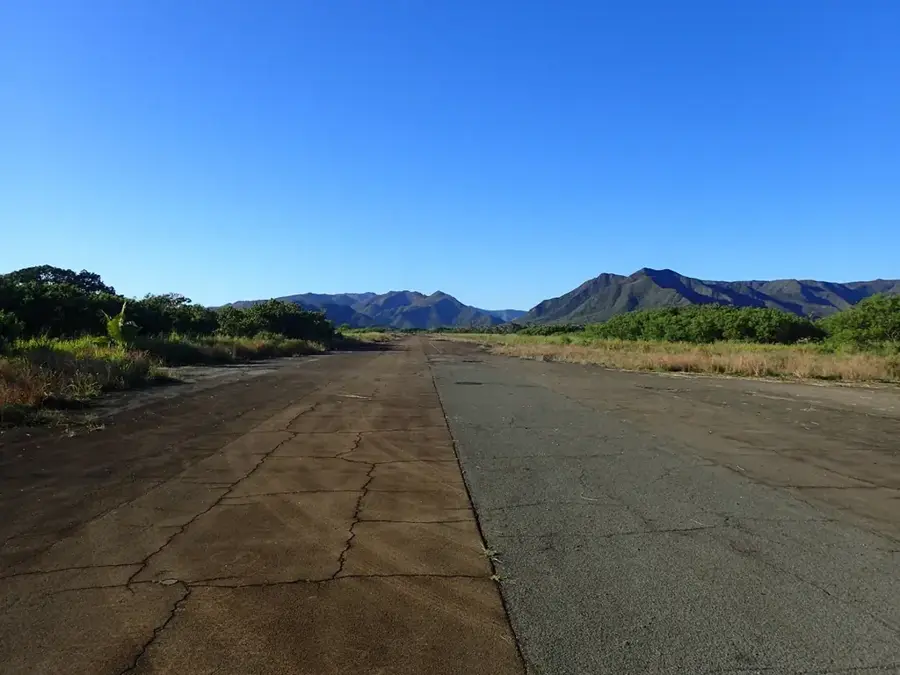
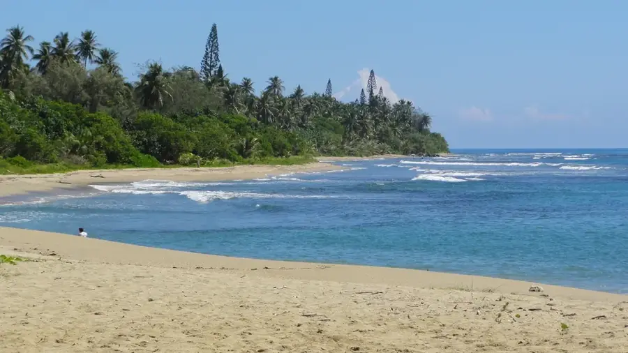
Mont Tsibaï is a prominent peak located in the northern reaches of Grande Terre, the main island of New Caledonia. Rising to an elevation of 1,184 meters, it stands out due to its sheer rocky faces and rugged topography. The mountain is primarily composed of metamorphic rock, a result of intense geological activity that shaped the island's central range. Its slopes are covered in unique vegetation, including many endemic species that thrive in the island's specialized soil conditions. Mont Tsibaï is a favored destination for experienced climbers and hikers seeking a challenging ascent away from the more frequented coastal paths. The climb requires careful navigation through dense scrubland and over rocky ridges, but the summit provides unparalleled views of the Coral Sea and the wild interior of the north. It remains an important site for ecological study and a symbol of the untamed natural beauty that defines the northern provinces of New Caledonia.
- Location: New Caledonia
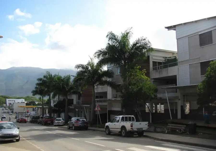
- Nearby: Hienghène (16 km)
Best time to visit & climate
The most pleasant time to visit is Jul–Sep.
| Jan | Feb | Mar | Apr | May | Jun | Jul | Aug | Sep | Oct | Nov | Dec | |
|---|---|---|---|---|---|---|---|---|---|---|---|---|
| Avg °C | 26 | 27 | 26 | 25 | 23 | 22 | 21 | 21 | 22 | 23 | 25 | 26 |
| Rain mm | 170 | 172 | 230 | 131 | 103 | 87 | 56 | 54 | 47 | 53 | 75 | 120 |
📋 Practical info
Geography
Facts
- Elevation stands at 1,194 meters.
- Border peak between Ponérihouen and Houaïlou.
- Member of the northern central range.
- Covered by significant primary rainforest.
- Critical watershed for the local area.
- Habitat for endemic birds like the kagu.
Explore nearby
Notable places around
Route planner — Car & Motorhome
Where do you start? We build the route here, with stops and country notes along the way.
© OpenStreetMap contributors · OpenRouteService
Sights nearby
Frequently asked questions
Is Mont Tsibaï a popular hiking destination?
How high is the peak?
Is there parking nearby?
How long is an average hike?
What is the best season?
Mont Tsibaï: where is it located?
Mont Tsibaï: when is the best time to visit?
Mont Tsibaï: why is it worth visiting?

Nearby cities


History & landmarks
More places