Plizio Visual Lab
Witvlei
ℹ️Practical info — Witvlei
▾
🌤 Weather — 5 days
📍 Nearby
Sights nearby
💡 Tips
- Witvlei is a convenient stopover on the Trans-Kalahari Highway between Windhoek and Gobabis.
- Be extra vigilant for wildlife like kudu and warthogs crossing the B6 road, especially at dawn and dusk.
- Visit 'Mast Hill' for panoramic views of the village and the surrounding red Kalahari sands.
- The settlement is famous for its meat processing; take the chance to buy some excellent local biltong.
- During the rainy season, watch the Nossob River bed, which flows through the village and can flood suddenly.
🍽 Food
Beef from the surrounding cattle farms is considered some of the best in the country.
Seasoned dried beef, an essential snack for the long drive through the Kalahari region.
Grilled meat sold by local street vendors, freshly prepared over open coals.
🛍 Shopping · 🧘 Quiet spots
Purchase high-quality beef directly from the vendors located along the main highway.
Visit the local taxidermist to learn about the region's strong hunting and farming heritage.
A short climb has quietude and a vast view over the rolling hills of the Omaheke region.
Find a shaded spot along the dry riverbed for a picnic away from the highway noise.
Water temperature…
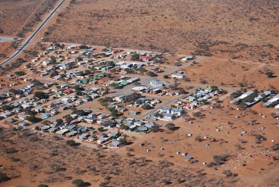
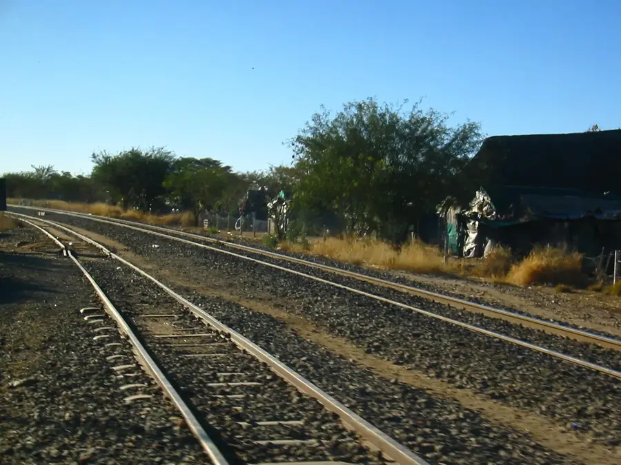
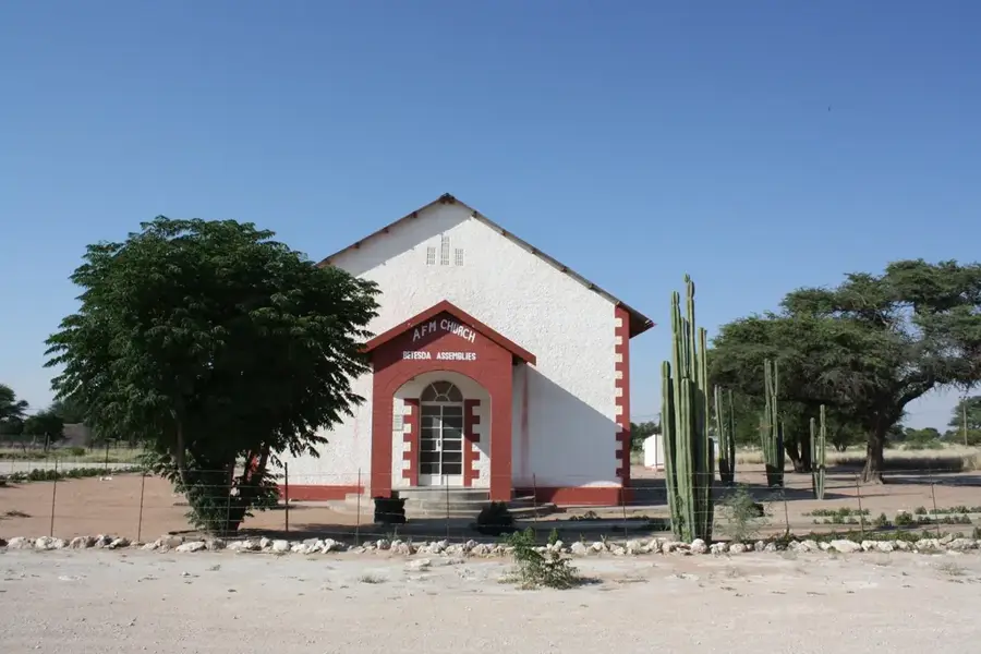
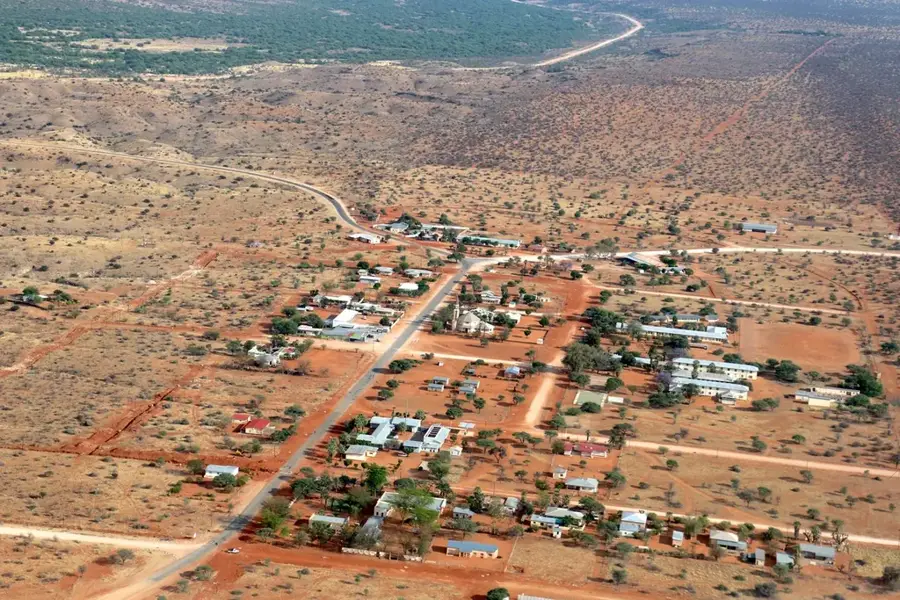
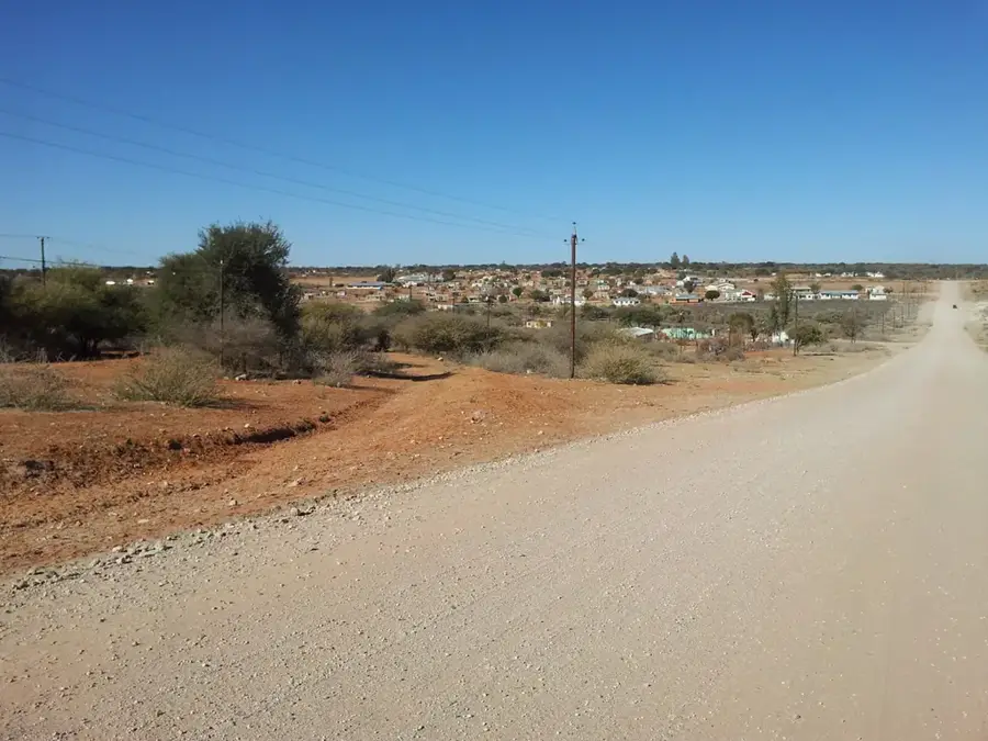
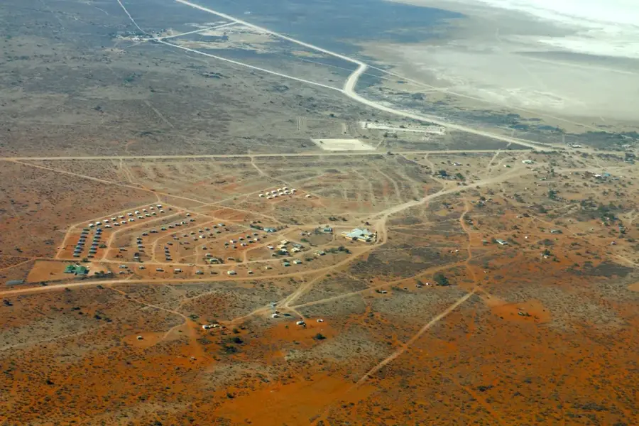
Witvlei is a strategically located village in Namibia's Omaheke Region, situated approximately 150 kilometers east of the capital, Windhoek, along the B6 national road. The settlement gained historical significance through the Battle of Witvlei in 1864, where Nama forces under Jonker Afrikaner clashed with the Herero, significantly impacting local power dynamics. In the modern economy, the village plays a central role in Namibia's export sector, particularly through the presence of a large slaughterhouse and meat processing plant specializing in high-quality beef. Geographically, the area is characterized by typical thornbush savanna and vast grazing lands that form the basis for extensive cattle ranching. Witvlei also serves as a vital transit point for travelers on the Trans-Kalahari Corridor, which connects Namibia with Botswana and South Africa. The infrastructure includes essential educational facilities and administrative offices that support the surrounding commercial farming communities.
- Location: Namibia
- Nearby: Gobabis (54 km)
- Population: ~2.095 (2024)
Best time to visit & climate
The most pleasant time to visit is Apr, Sep, Oct.
| Jan | Feb | Mar | Apr | May | Jun | Jul | Aug | Sep | Oct | Nov | Dec | |
|---|---|---|---|---|---|---|---|---|---|---|---|---|
| Avg °C | 26 | 25 | 24 | 21 | 17 | 14 | 13 | 16 | 21 | 24 | 25 | 26 |
| Rain mm | 72 | 74 | 57 | 38 | 4 | 1 | 0 | 1 | 2 | 16 | 35 | 56 |
Geography
Facts
- Witvlei is situated at an elevation of approximately 1,440 meters above sea level.
- The historic Battle of Witvlei took place on September 23, 1864.
- The name Witvlei translates from Afrikaans as White Vlei or white marsh.
- The Witvlei Meat processing plant exports its products as far as Norway.
- The village is positioned directly on the B6 national road's east-west axis.
- Witvlei was officially proclaimed as a village council settlement in 1954.
Explore nearby
Notable places around
Route planner — Car & Motorhome
Where do you start? We build the route here, with stops and country notes along the way.
© OpenStreetMap contributors · OpenRouteService
Frequently asked questions
What is the background of Witvlei?
Is Witvlei interesting for tourists?
When is the best travel time?
How is the infrastructure?
Are there natural attractions?
Witvlei: where is it located?
Witvlei: when is the best time to visit?
Witvlei: why is it worth visiting?

Nearby cities
More places