Plizio Visual Lab
Metangula
ℹ️Practical info — Metangula
▾
🌤 Weather — 5 days
📍 Nearby
Sights nearby
💡 Tips
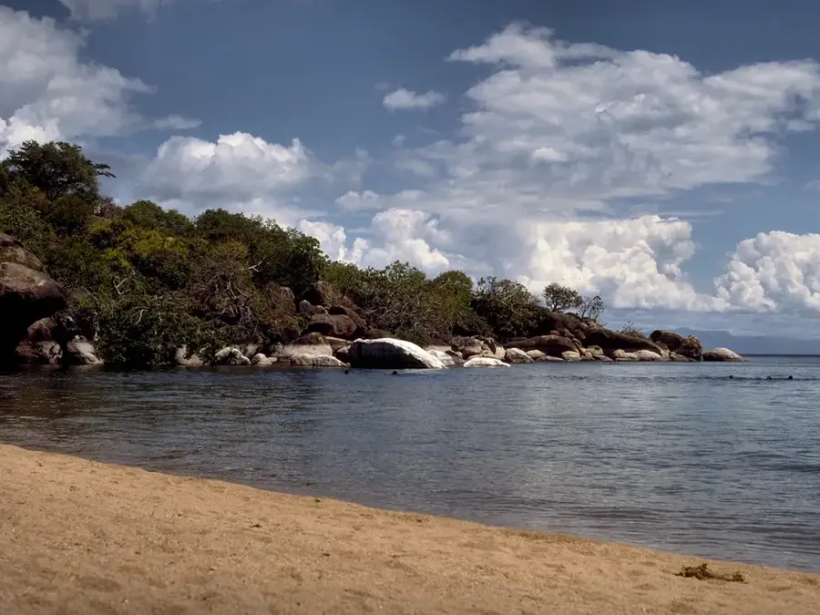
- Enjoy the crystal-clear waters of Lake Niassa; the beaches here are often much quieter than those in neighboring Malawi.
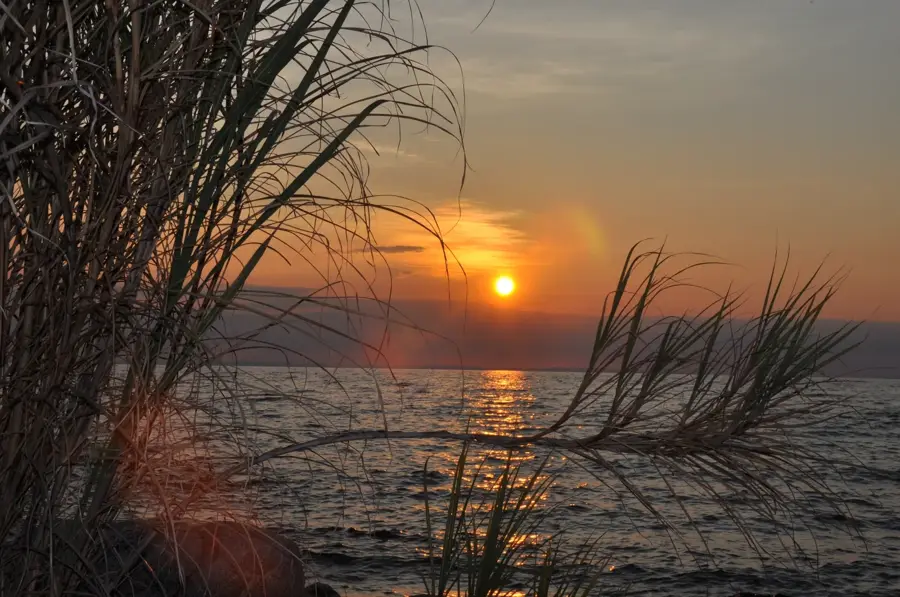
- Watch the sunset over the lake, the colors are spectacular from the shore.
- Inquire at the port about boat transfers to Cobue or Likoma Island.
- Metangula is a key fishing port; early morning is the best time to see the traditional boats returning with their catch.
- Take precautions against mosquitoes, as the lake proximity increases the risk of malaria.
🍽 Food
This lake fish (tilapia) is a local delicacy; have it freshly grilled by the lakeshore.
The traditional maize porridge is frequently served here with fresh lake fish stew.
Local recipes often incorporate fresh coconut, giving them a distinct tropical flavor.
🛍 Shopping · 🧘 Quiet spots
Buy dried or fresh fish directly from the source at the main landing site.
Look for hand-woven mats and baskets made from local lake reeds.
Walk north away from the port area to find secluded sandy coves.
A quiet stroll in the late afternoon provides a great view of the distant fishing lanterns (kapenta boats).
Water temperature…
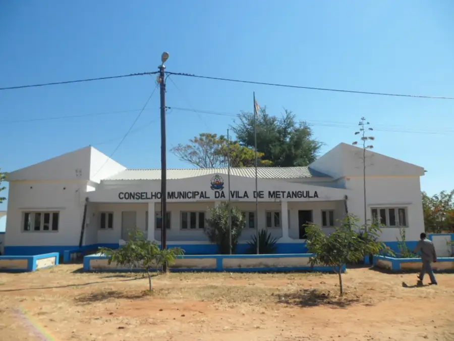
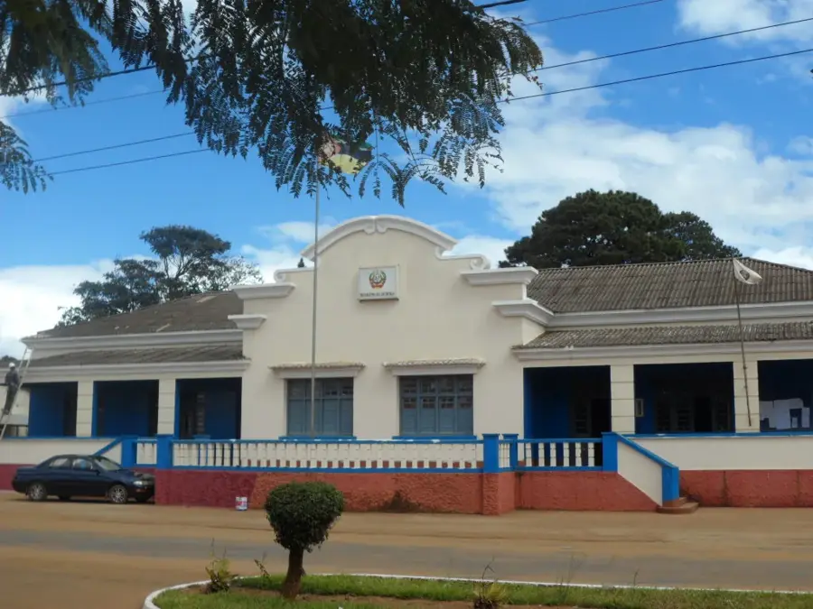
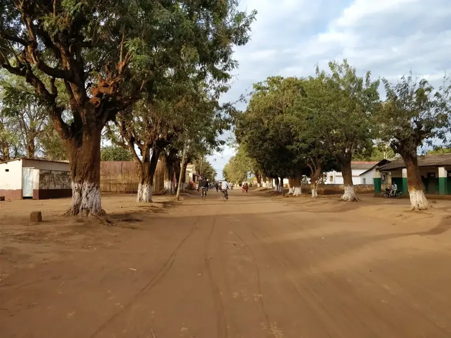
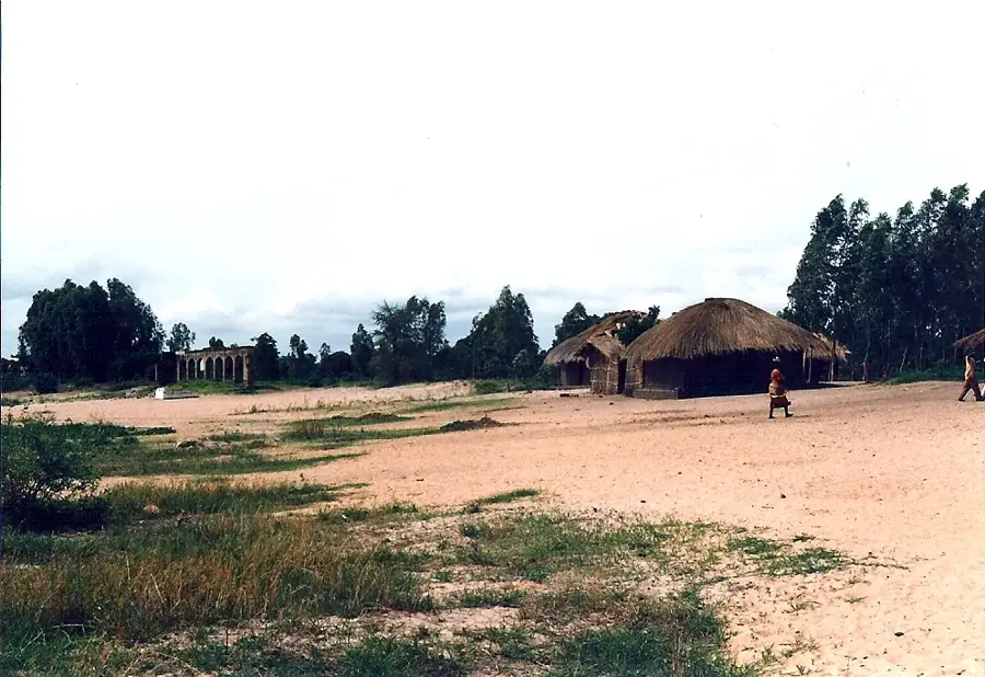
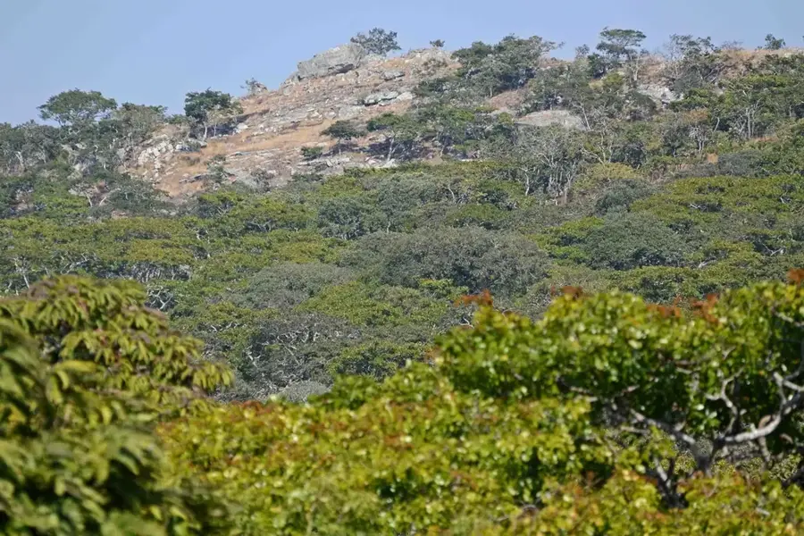
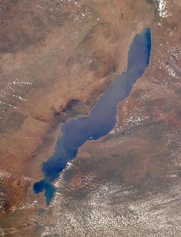
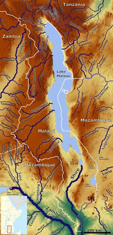
Metangula is a remote port town in the Niassa Province of northwestern Mozambique, picturesquely situated on the eastern shores of Lake Niassa (Lake Malawi). As the administrative capital of the Lago District, it serves as a strategic base for the Mozambican Navy, which maintains a presence there to secure the maritime border. The town's history is deeply intertwined with the national liberation struggle, as the rugged terrain of the region provided cover for FRELIMO fighters during the war against Portuguese colonial rule. Geographically, Metangula is located between steep mountains and the deep, crystal-clear waters of the lake, offering a unique microclimate and striking vistas. The local economy is almost entirely dependent on artisanal fishing, with the Chambo (tilapia) being the primary commercial commodity. Due to its relative isolation and challenging road access, Metangula relies heavily on lake transport for trade and supplies. Despite its significant eco-tourism potential, the town remains a peaceful and authentic lakeside settlement.
- Location: Mozambique
- Nearby: Lake Niassa (17 km)
- Population: ~14.835 (2024)
Best time to visit & climate
The most pleasant time to visit is Jun–Aug.
| Jan | Feb | Mar | Apr | May | Jun | Jul | Aug | Sep | Oct | Nov | Dec | |
|---|---|---|---|---|---|---|---|---|---|---|---|---|
| Avg °C | 24 | 24 | 24 | 23 | 22 | 20 | 20 | 22 | 25 | 27 | 27 | 25 |
| Rain mm | 307 | 239 | 188 | 63 | 11 | 2 | 2 | 3 | 2 | 12 | 62 | 238 |
Geography
Facts
- Metangula is the most important Mozambican port on Lake Niassa.
- The town hosts a major command center for the Mozambican Navy.
- Lake Niassa reaches depths of several hundred meters near the town.
- The region was a stronghold for FRELIMO during the war for independence.
- Fishing accounts for over 80% of the local economic output.
- The town is connected to the provincial capital, Lichinga, via a dirt road.
Explore nearby
Notable places around
Route planner — Car & Motorhome
Where do you start? We build the route here, with stops and country notes along the way.
© OpenStreetMap contributors · OpenRouteService
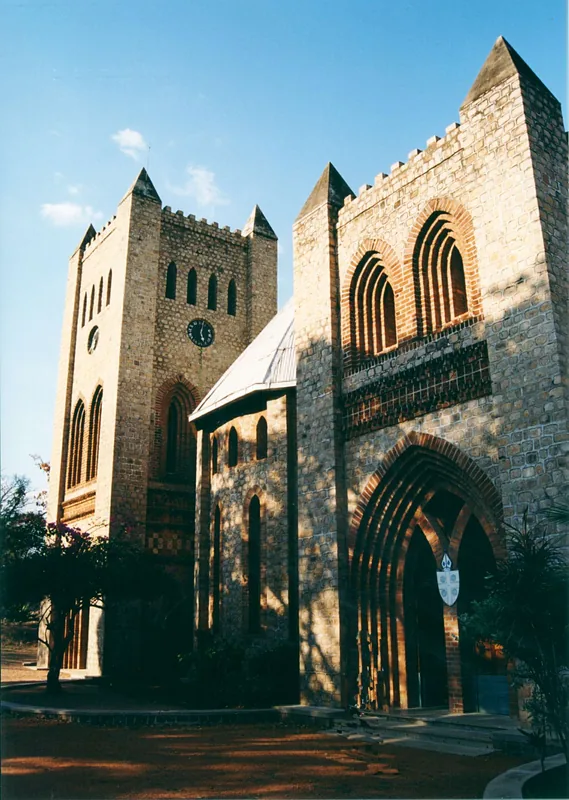
Sights in the town Metangula (1)
Frequently asked questions
Where is Metangula located?
What can you do here?
Best time to visit?
How to travel to Metangula?
How long to stay?
Metangula: where is it located?
Metangula: when is the best time to visit?
Metangula: why is it worth visiting?

Nearby cities
History & landmarks
Nature
More places