Plizio Visual Lab
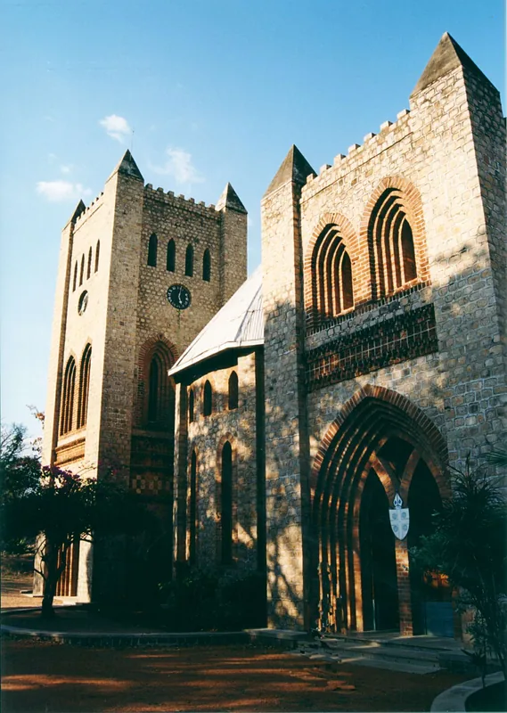
Chizumulu Island Fortification

Weather…
Water temperature…
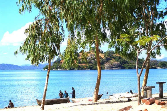
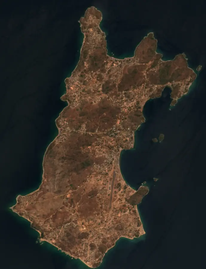
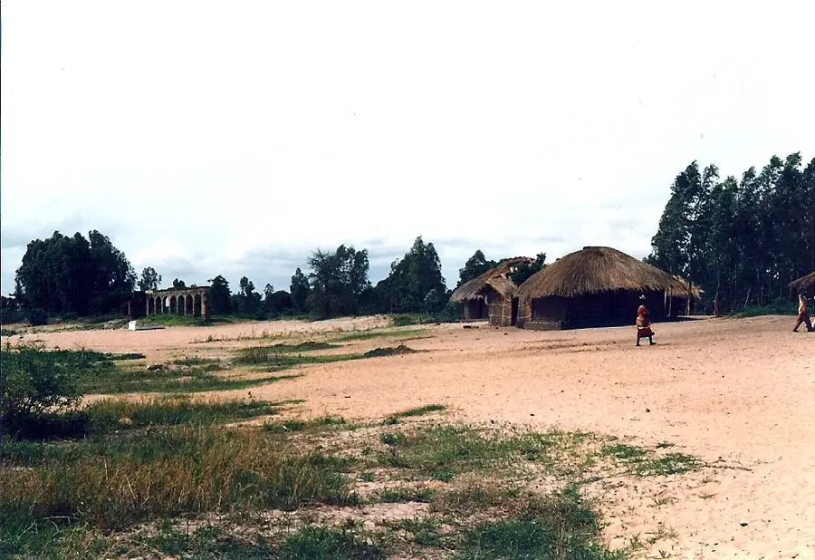
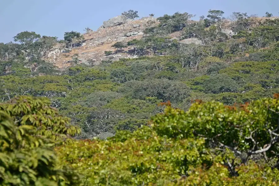
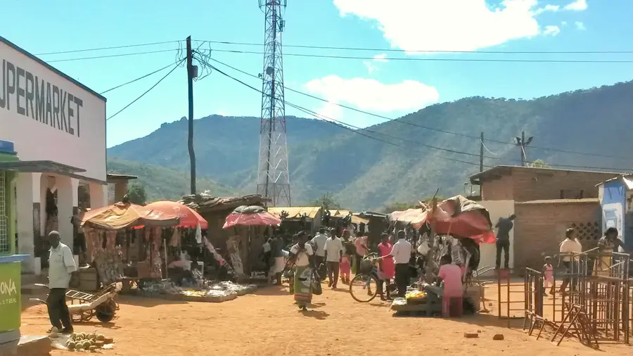
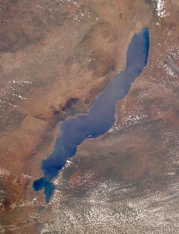
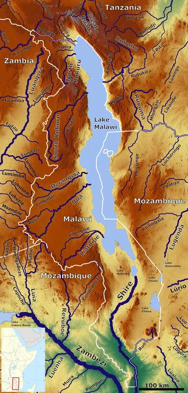
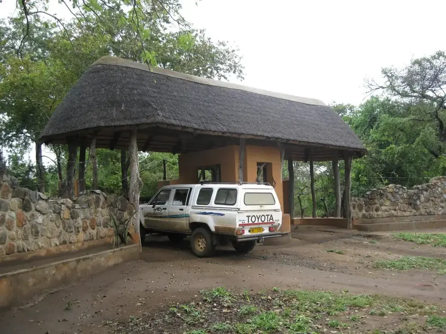
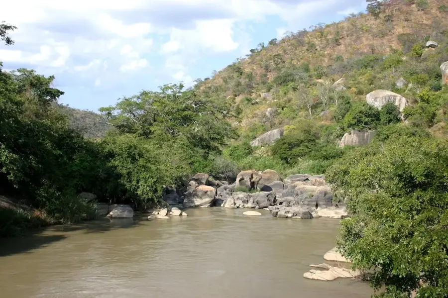
Chizumulu Island in Lake Malawi features historical remnants of stone fortifications built during the 19th century to protect the local population from slave-raiding parties. These defensive structures served as a crucial sanctuary during a period of intense instability in the region, taking advantage of the island's naturally rugged terrain. Today, the ruins stand as a poignant reminder of Malawi's past and the struggle for freedom. Visitors to the island can explore these scattered sites while enjoying the dramatic lake views and the peaceful atmosphere of a place that has remained largely untouched by large-scale tourism compared to neighboring Likoma. The site provides a unique blend of historical discovery and natural beauty, highlighting the strategic importance of the island throughout the centuries.
- Location: Malawi
- Nearby: Chintheche (53 km)
Best time to visit & climate
The most pleasant time to visit is Jun–Aug.
| Jan | Feb | Mar | Apr | May | Jun | Jul | Aug | Sep | Oct | Nov | Dec | |
|---|---|---|---|---|---|---|---|---|---|---|---|---|
| Avg °C | 28 | 27 | 27 | 26 | 25 | 23 | 23 | 24 | 27 | 29 | 29 | 28 |
| Rain mm | 309 | 249 | 236 | 132 | 25 | 9 | 6 | 3 | 4 | 21 | 90 | 245 |
📋 Practical info
Geography
Facts
- Built 1890s
- Stone fortification
- Height above lake: 30 m
- Island area: 3 km²
- Population: 1000
- Became British in 1919
Explore nearby
Notable places around
Route planner — Car & Motorhome
Where do you start? We build the route here, with stops and country notes along the way.
© OpenStreetMap contributors · OpenRouteService
Sights in the town Chizumulu Island Fortification (1)
Sights nearby
Frequently asked questions
What is found at the Chizumulu fortification?
Is the area easily accessible?
Is a guide needed?
What is the condition of the ruins?
Is camping allowed?
Chizumulu Island Fortification: where is it located?
Chizumulu Island Fortification: when is the best time to visit?
Chizumulu Island Fortification: why is it worth visiting?

Nearby cities


History & landmarks


Nature

More places