Plizio Visual Lab
Niassa Highlands

Weather…
Water temperature…
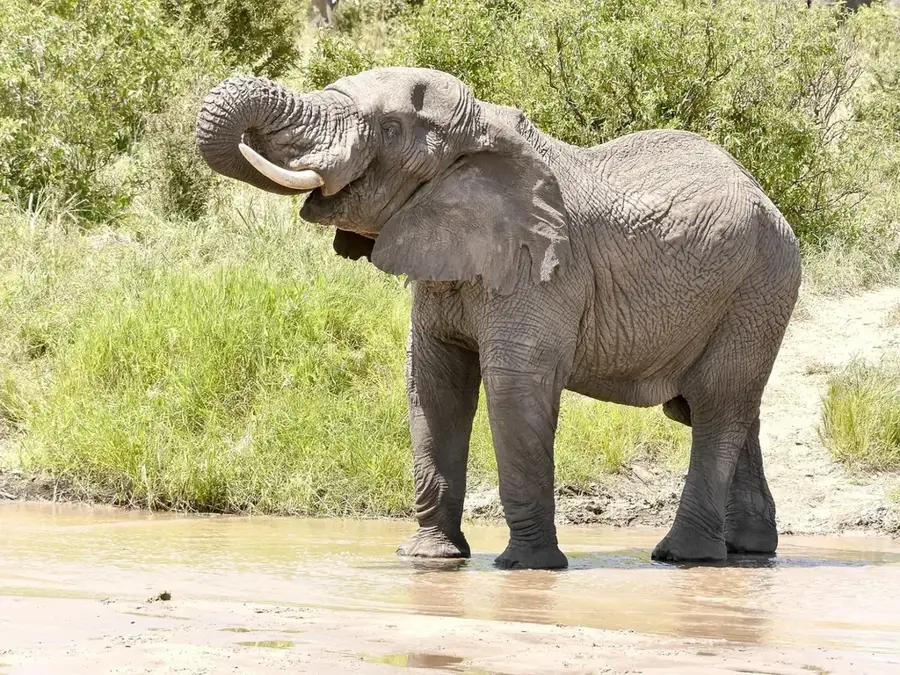
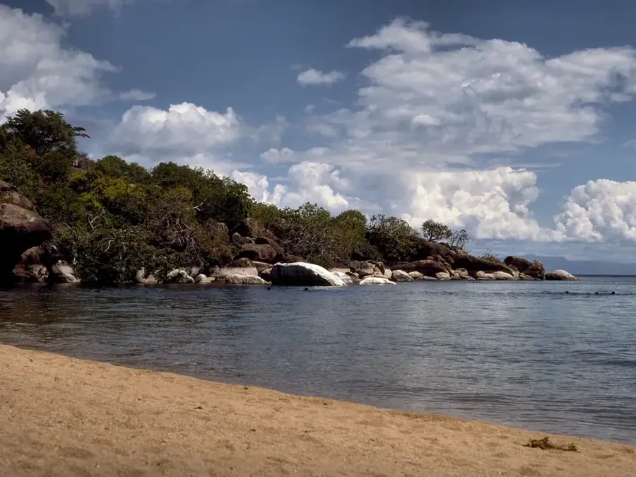
The Niassa Highlands extend across the northernmost part of Mozambique, near the borders with Malawi and Tanzania, and represent a geological continuation of the East African Rift system. This upland region reaches average altitudes of 1,000 to 1,400 meters above sea level and is characterized by a cooler climate compared to the coastal plains. The landscape primarily consists of vast plateaus, deeply incised river valleys, and isolated mountain massifs composed of Precambrian rocks. Ecologically, the highlands are of central importance as they cover a large portion of the Niassa Special Reserve, one of Africa's largest protected areas, famous for its populations of lions, wild dogs, and elephants. Historically, the region remained sparsely populated for a long time due to its remoteness and was largely untouched by intensive colonial development. Today, the Niassa Highlands are a significant factor in ecotourism and the preservation of wildlife corridors between Mozambique and neighboring countries, with a focus on conserving Miombo woodlands.
- Location: Mozambique
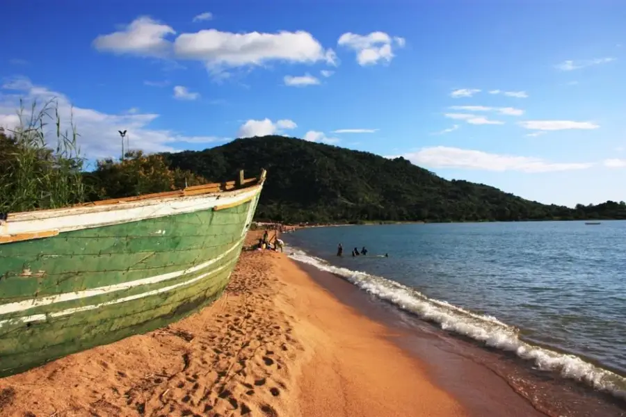
- Nearby: Lake Niassa (72 km)
Best time to visit & climate
The most pleasant time to visit is May, Aug, Sep.
| Jan | Feb | Mar | Apr | May | Jun | Jul | Aug | Sep | Oct | Nov | Dec | |
|---|---|---|---|---|---|---|---|---|---|---|---|---|
| Avg °C | 22 | 22 | 22 | 20 | 18 | 17 | 17 | 19 | 22 | 24 | 25 | 23 |
| Rain mm | 364 | 270 | 218 | 71 | 18 | 4 | 4 | 7 | 5 | 19 | 75 | 284 |
📋 Practical info
Geography
Facts
- The highlands reach altitudes of up to 1,400 meters above sea level.
- They host a large portion of the 42,000 km² Niassa Special Reserve.
- The region is one of the last major refuges for the African wild dog.
- Geologically, ancient granite and gneiss formations dominate the area.
- The Lugenda River drains a large part of this highland territory.
- The climate is characterized by a distinct dry season from May to October.
Explore nearby
Notable places around
Route planner — Car & Motorhome
Where do you start? We build the route here, with stops and country notes along the way.
© OpenStreetMap contributors · OpenRouteService
Sights nearby
Frequently asked questions
Is the Niassa Highland safe for independent travel?
What is the road quality like?
Are there tourist accommodations there?
What is the best travel time?
Is the landscape worth seeing?
Niassa Highlands: where is it located?
Niassa Highlands: when is the best time to visit?
Niassa Highlands: why is it worth visiting?

Nearby cities
Nature
More places