Plizio Visual Lab
Condamine Depression
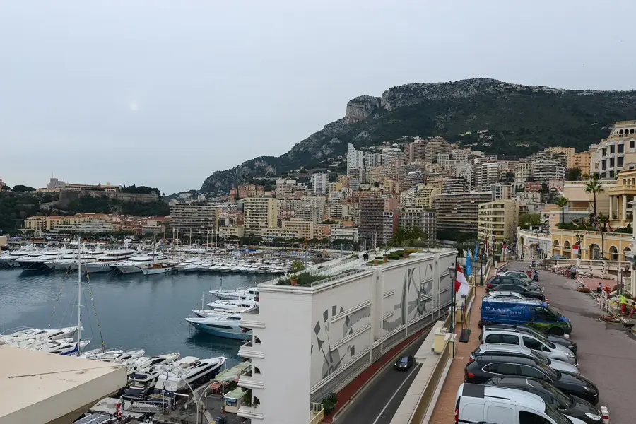
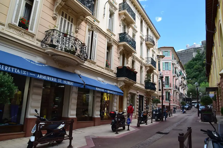
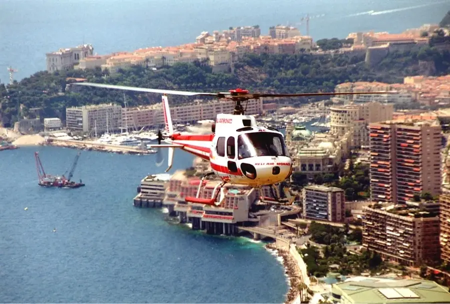
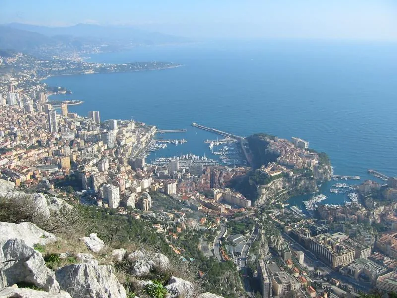
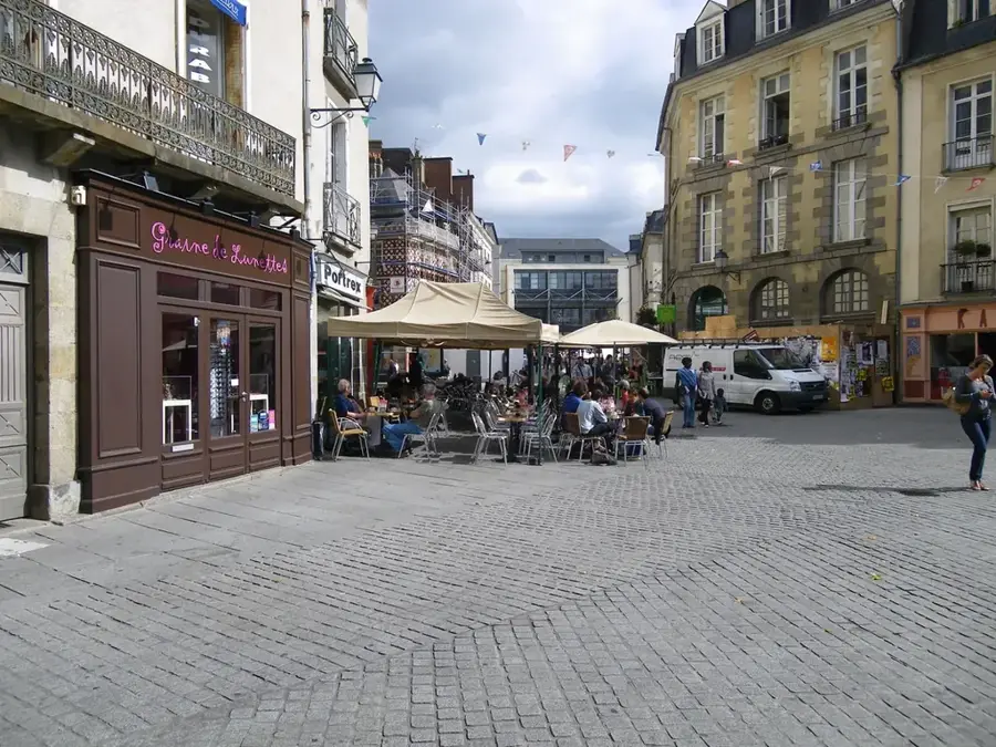
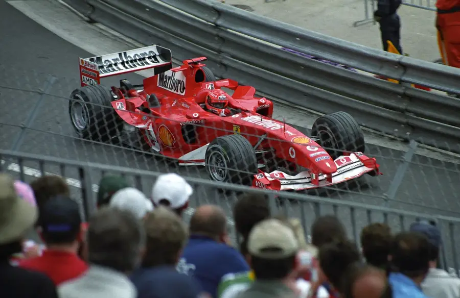
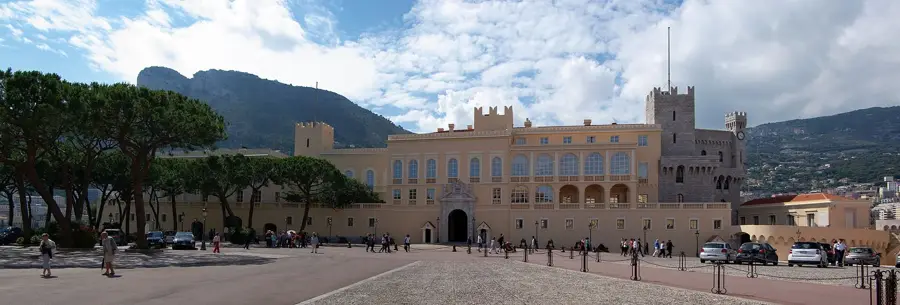
The Depression de la Condamine identifies the central low-lying zone of Monaco, stretching between the Rock of Monaco (Le Rocher) and the Monte-Carlo hill. Geomorphologically, it is a natural amphitheater formed by the erosion of mountain streams, historically serving as an alluvial plain. In contrast to the surrounding steep limestone cliffs, the terrain here is relatively flat, making it the convenient location for Port Hercules and the principality's commercial center. The depression collects surface water from adjacent slopes, which necessitated the installation of extensive underground drainage systems during the 20th century to facilitate safe urbanization. The topography of La Condamine marks the lowest point of the original landmass and is now almost entirely defined by modern infrastructure, including the railway station and key sections of the Formula 1 Grand Prix circuit. The geological layering consists of loose sediments, which present unique structural challenges for high-rise foundations compared to Monaco's solid rock areas.
- Location: Monaco
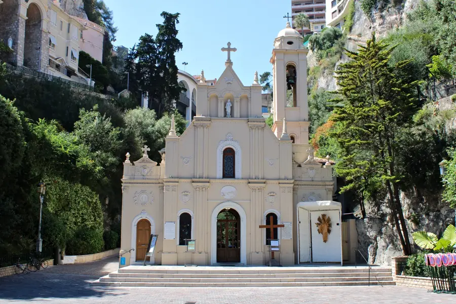
- Top sights: Exhibition Hall · Musée de la Chapelle de la Visitation · Chapelle de la Miséricorde
Best time to visit & climate
The most pleasant time to visit is Jun, Jul, Sep.
| Jan | Feb | Mar | Apr | May | Jun | Jul | Aug | Sep | Oct | Nov | Dec | |
|---|---|---|---|---|---|---|---|---|---|---|---|---|
| Avg °C | 11 | 11 | 12 | 14 | 17 | 21 | 24 | 24 | 22 | 18 | 15 | 12 |
| Rain mm | 55 | 53 | 62 | 56 | 48 | 29 | 17 | 23 | 47 | 88 | 123 | 81 |
📋 Practical info
Geography
Facts
- The name Condamine originates from the Latin 'condominium'
- Port Hercules is located in the deepest part of this depression
- In the 19th century, the area was used for agriculture
- This zone serves as the centerpiece of the Monaco Grand Prix
- The geological foundation consists of Quaternary deposits
- Monaco's underground railway station was opened here in 1999
Explore nearby
Notable places around
Route planner — Car & Motorhome
Where do you start? We build the route here, with stops and country notes along the way.
© OpenStreetMap contributors · OpenRouteService
Sights in the town Condamine Depression (10)
Oceanographic Museum of Monaco🏛 museum
Museum of marine sciences. Monumental cliffside building with aquariums and research facilities.
Fort Antoine 1er
Fort in Monaco. Historic defensive structure overlooking the sea.
Monaco Grand Prix Start/Finish Line
Start/finish line of the Monaco Formula 1 race. Located along the harbor promenade.
Crique des Pêcheurs
Fishermen's cove in Monaco. Small beach area on the Mediterranean.
Saint Nicholas Cathedral
Cathedral in Monaco. Romanesque-Byzantine style, burial site of the princely family.
Plage du Solarium
Beach in Monaco. Artificially created bathing platform by the sea.
Sights nearby
Frequently asked questions
What is the Condamine Depression?
Was there water here in the past?
Is the depression prone to flooding?
What is the center of the depression?
What is the climate like in the depression?
Condamine Depression: where is it located?
Condamine Depression: what is there to see?
Condamine Depression: when is the best time to visit?
Condamine Depression: why is it worth visiting?

Nearby cities
History & landmarks
Nature
More places