Plizio Visual Lab
Condamine Urban Canyon
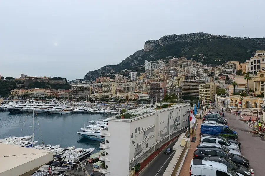
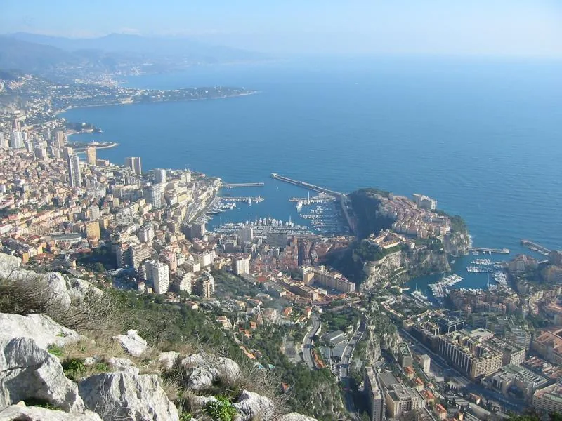
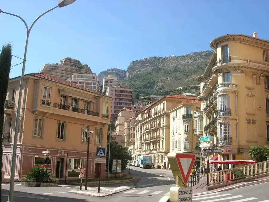
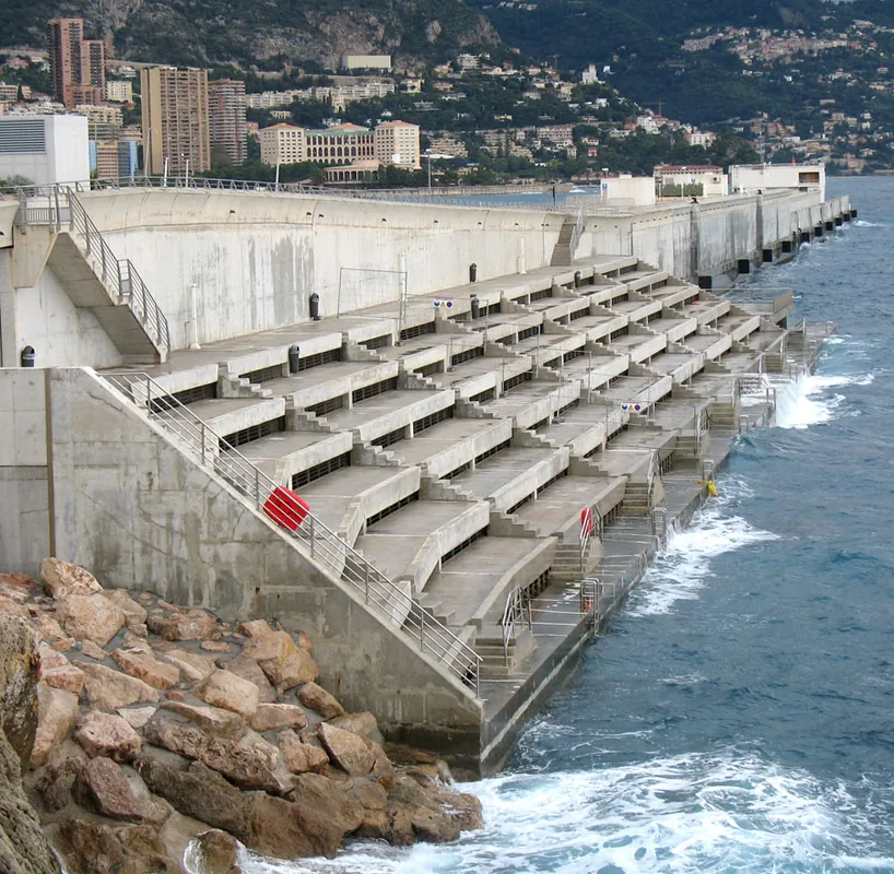
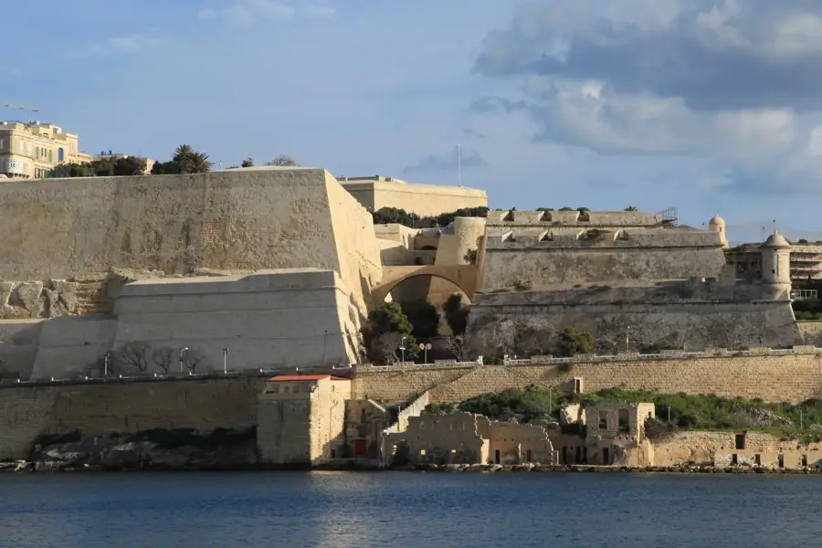
The urban canyon of La Condamine describes a specific geomorphological structure in Monaco, formed by the steep meeting of natural topography and dense urban development. Originally, this area served as the drainage channel for torrents rushing down from the surrounding Maritime Alps to the Mediterranean Sea. Due to the extreme lack of space in the principality, these natural ravines were almost entirely built over and integrated into the modern city fabric during the 20th century. A defining characteristic is the dizzying elevation changes between different street levels, often connected by monumental bridges such as the Sainte-Dévote viaduct. This vertical urban planning utilizes every available surface on the cliff faces, leading to a unique layering of transport and residential paths. Today, the canyon serves as a vital north-south infrastructure corridor, housing railway tunnels and essential drainage systems that protect Monaco from flash floods during heavy rainfall.
- Location: Monaco
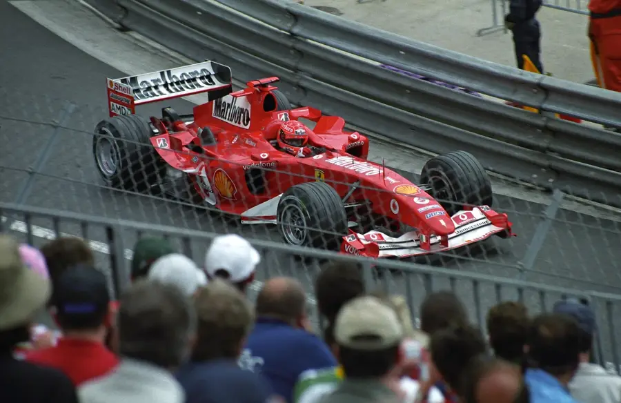
- Top sights: The Car Collection of HSH the Prince of Monaco · Monaco Grand Prix Start/Finish Line · Exhibition Hall
Best time to visit & climate
The most pleasant time to visit is Jun, Jul, Sep.
| Jan | Feb | Mar | Apr | May | Jun | Jul | Aug | Sep | Oct | Nov | Dec | |
|---|---|---|---|---|---|---|---|---|---|---|---|---|
| Avg °C | 11 | 11 | 12 | 14 | 17 | 21 | 24 | 24 | 22 | 18 | 15 | 12 |
| Rain mm | 55 | 53 | 62 | 56 | 48 | 29 | 17 | 23 | 47 | 88 | 123 | 81 |
📋 Practical info
Geography
Facts
- The area follows the historical course of the Gaumates stream
- The Sainte-Dévote viaduct spans the deepest part of the ravine
- The vertical elevation difference exceeds 50 meters in places
- Infrastructure projects in the 1990s significantly improved drainage
- The canyon houses key sections of the Monaco Grand Prix circuit
- The cliff walls are primarily composed of Mesozoic limestone
Explore nearby
Notable places around
Route planner — Car & Motorhome
Where do you start? We build the route here, with stops and country notes along the way.
© OpenStreetMap contributors · OpenRouteService
Sights in the town Condamine Urban Canyon (10)
Musée de la Chapelle de la Visitation🏛 museum
Museum in a former chapel in Monaco, displaying sacred art.
Théâtre du Fort Antoine
Open-air theatre in a fortress in Monaco, with sea views.
Fort Antoine 1er
18th-century fortress in Monaco, now a cultural venue.
Prince's Palace of Monaco
Official residence of the Sovereign of Monaco, located on a rock.
Synagogue de Monaco
Synagogue in Monaco, a place for Jewish worship and community gatherings.
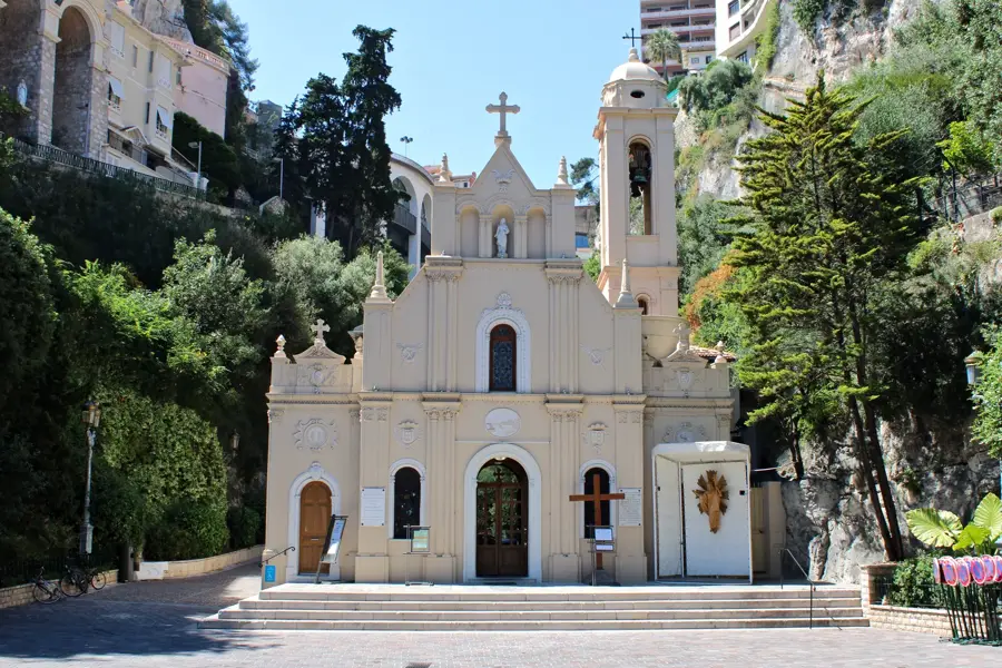
Chapelle Sainte-Dévote
Church building in Monaco, dedicated to the patron saint of the principality.
Sights nearby
Frequently asked questions
What is the Condamine Urban Canyon?
Where exactly is this area located?
Can you hike there?
Is it shady there?
What can be seen at the bottom of the canyon?
Condamine Urban Canyon: where is it located?
Condamine Urban Canyon: what is there to see?
Condamine Urban Canyon: when is the best time to visit?
Condamine Urban Canyon: why is it worth visiting?

Nearby cities
History & landmarks
Nature
More places