Plizio Visual Lab
Sierra Madre de Oaxaca
Weather…
Water temperature…
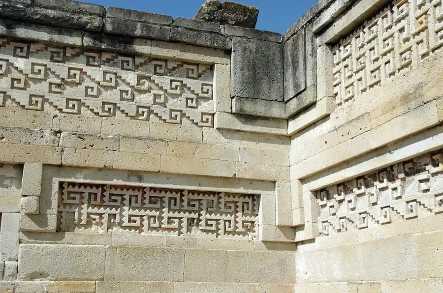
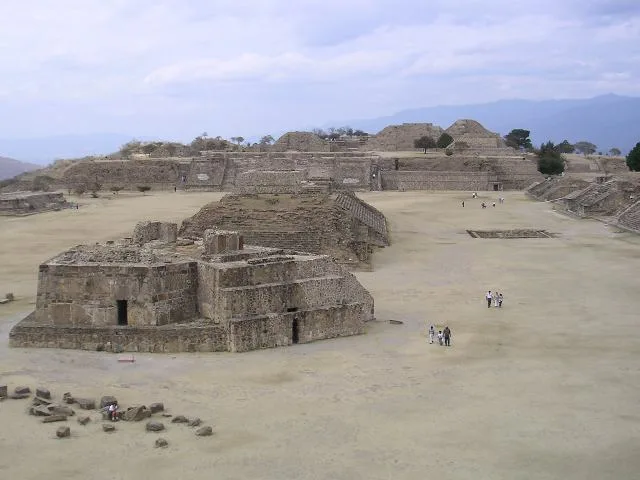
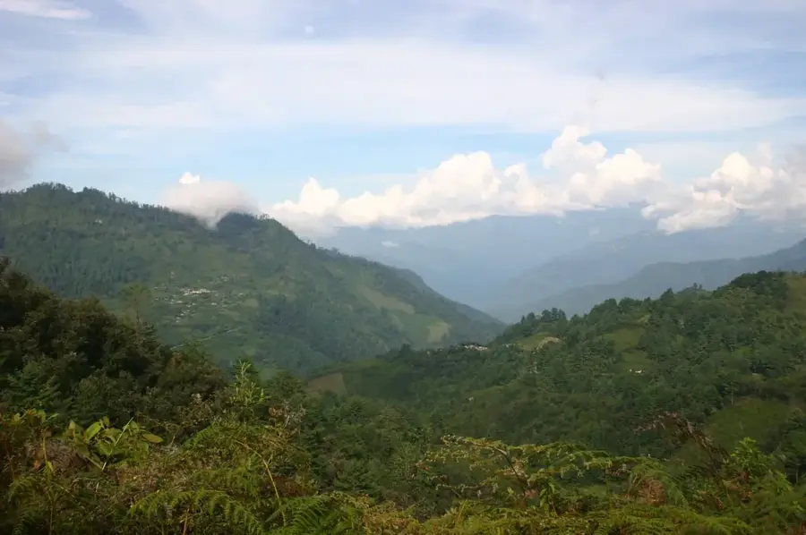
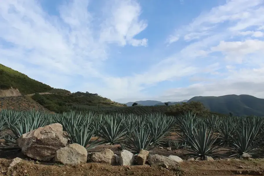
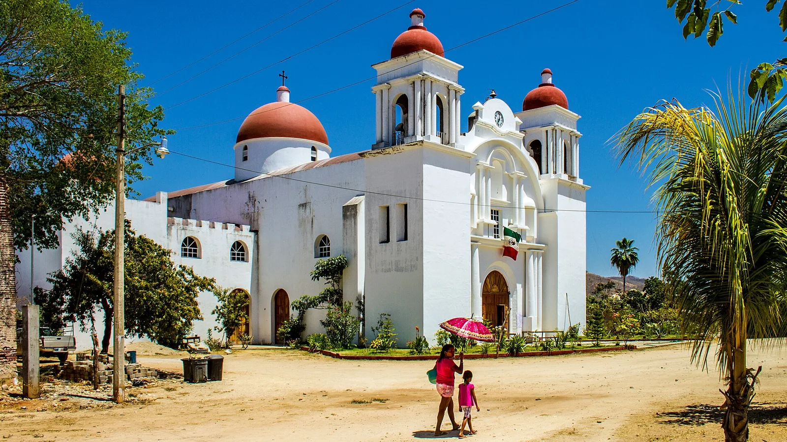
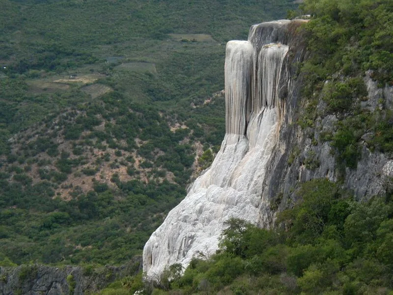
The Sierra Madre de Oaxaca is a mountain range in southern Mexico, primarily traversing the state of Oaxaca and serving as a link between the Sierra Madre Oriental and the Sierra Madre del Sur. This region is characterized by an extremely rugged relief, featuring deep valleys and high peaks that can exceed 3,000 meters, such as Cerro Zempoaltépetl. The range is noted for its diverse ecosystems, which transition from dry scrublands at lower elevations to lush, humid cloud forests in the summit regions. Culturally, the Sierra is of profound significance, having been the ancestral homeland of the Zapotec and Mixtec peoples for millennia, who developed advanced terracing systems and sacred sites here. The climate is highly fragmented by the complex topography, creating numerous microclimates that support a wide variety of agricultural practices. Geologically, the range consists of a mixture of Cretaceous sedimentary rocks and older metamorphic formations.
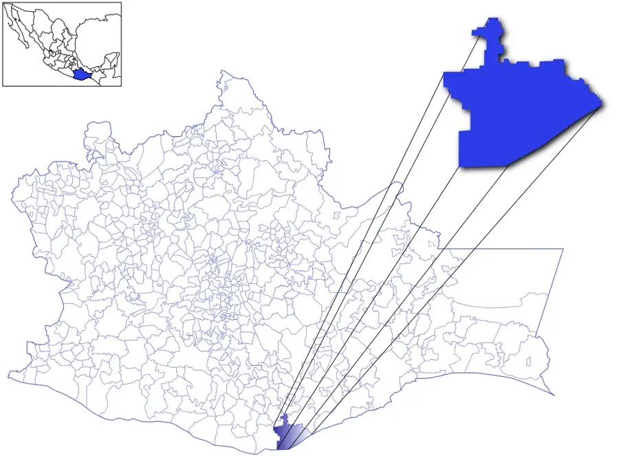
- Location: Mexico
- Top sights: El Picacho · Museo Comunitario · Fabrica de Tapetes - Familia Lana
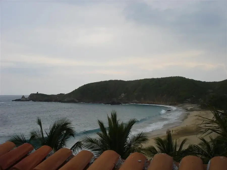
- Nearby: Mazunte (18 km)
Best time to visit & climate
The most pleasant time to visit is Mar–May.
| Jan | Feb | Mar | Apr | May | Jun | Jul | Aug | Sep | Oct | Nov | Dec | |
|---|---|---|---|---|---|---|---|---|---|---|---|---|
| Avg °C | 14 | 16 | 19 | 21 | 21 | 19 | 18 | 18 | 18 | 17 | 15 | 14 |
| Rain mm | 18 | 12 | 15 | 34 | 75 | 217 | 198 | 206 | 228 | 124 | 38 | 19 |
📋 Practical info
Geography
Facts
- Cerro Zempoaltépetl is one of the highest peaks at 3,396 meters.
- Historically the homeland of the Zapotec and Mixtec civilizations.
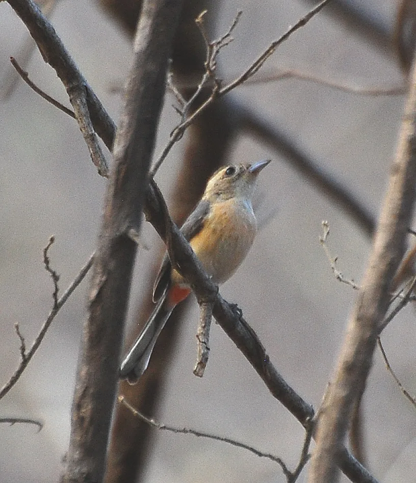
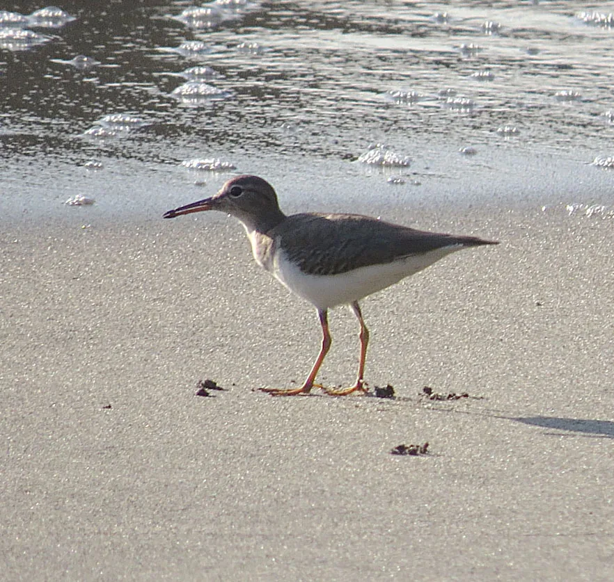
- Features one of the highest levels of cloud forest biodiversity.
- Acts as a drainage divide between the Pacific and Atlantic oceans.
- The region is highly seismic, located near the Cocos plate subduction zone.
- Known for its complex "Sierra Mixe" and "Sierra Norte" sub-ranges.
Explore nearby
Notable places around
Route planner — Car & Motorhome
Where do you start? We build the route here, with stops and country notes along the way.
© OpenStreetMap contributors · OpenRouteService
Sights in the town Sierra Madre de Oaxaca (10)
Sights nearby
Frequently asked questions
Which tours are best?
How do I get there?
Is it family-friendly?
Do I need a lot of time?
Are there souvenirs?
Sierra Madre de Oaxaca: where is it located?
Sierra Madre de Oaxaca: what is there to see?
Sierra Madre de Oaxaca: when is the best time to visit?
Sierra Madre de Oaxaca: why is it worth visiting?

Nearby cities


More places