Plizio Visual Lab
Rivière des Anguilles
ℹ️Practical info — Rivière des Anguilles
▾
🌤 Weather — 5 days
📍 Nearby
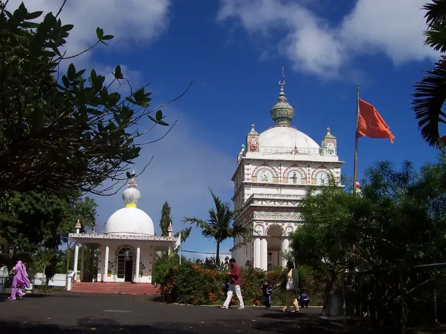
Sights nearby
💡 Tips
- Visit La Vanille Nature Park early in the morning when the animals are most active.
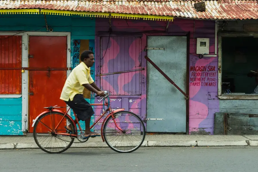
- Take the local bus to experience the daily life of southern Mauritius; the station is centrally located.
- Combine your visit with a trip to the nearby Rochester Falls, accessible via a bumpy dirt road.
- Try the local vanilla-infused products available in the area, a legacy of the region's agricultural history.
🍽 Food
Available at the restaurant inside La Vanille Nature Park, uniquely prepared.
A local specialty you can find in cafes and shops around the village.
Spicy lentil fritters sold by street vendors near the main road.
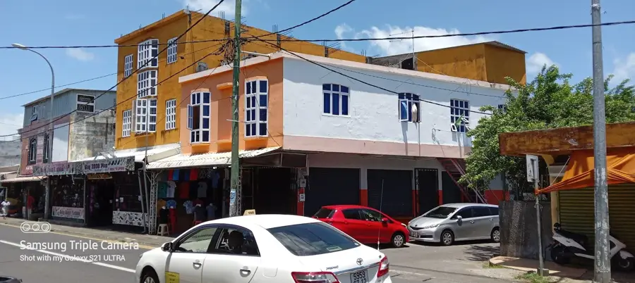
🛍 Shopping · 🧘 Quiet spots
A lively spot to buy fresh tropical fruits and locally grown vegetables.
Look for vanilla pods and extract in small local grocery shops.
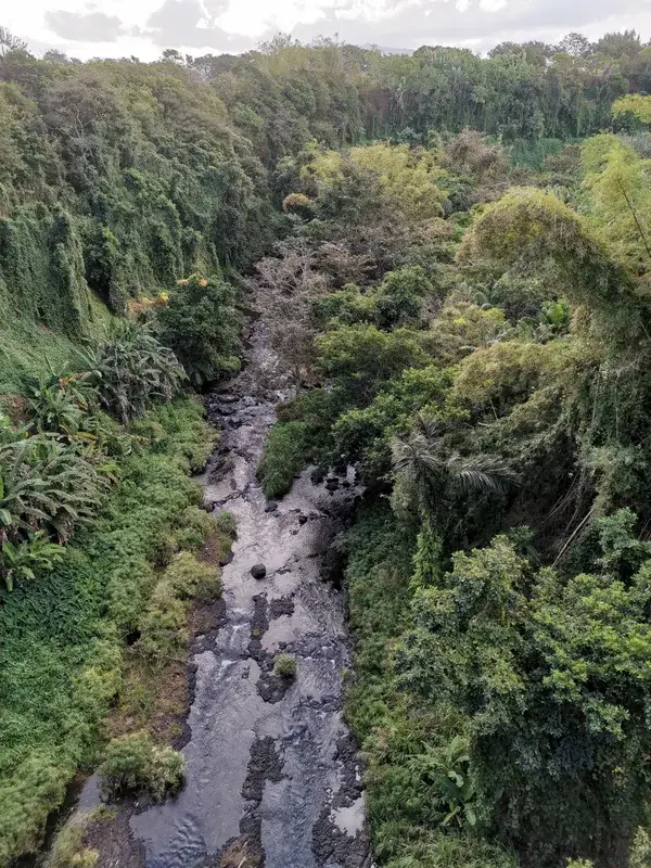
Take a peaceful stroll along the river that gives the village its name.
While a bit outside the village, the geometric basalt columns offer a serene natural setting.
Water temperature…
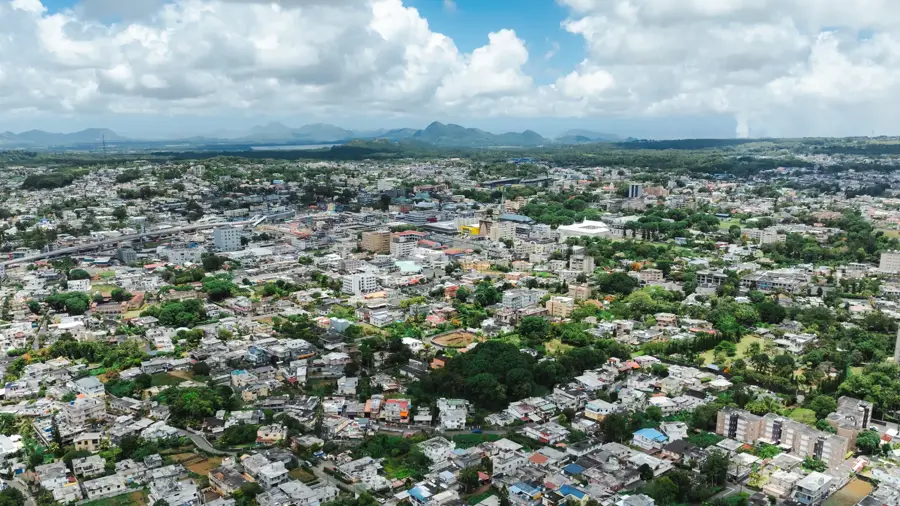
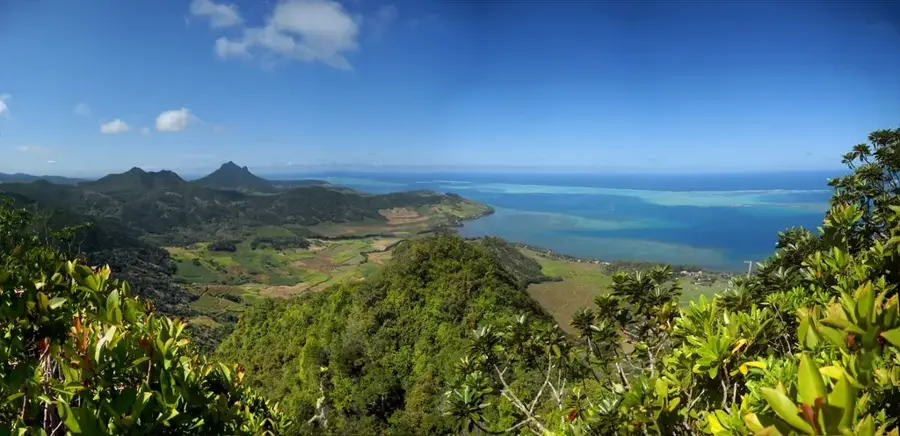
Rivière des Anguilles is a historically significant village in southern Mauritius, named after the river that flows through it, which was once teeming with eels. The settlement's identity is deeply rooted in the sugar industry, evidenced by the historic sugar mills and colonial estates that dot the surrounding landscape. Today, the village is best known as the home of the La Vanille Nature Reserve, a popular ecological park dedicated to the breeding of giant tortoises and crocodiles, set within a lush tropical valley. A notable architectural landmark is the old stone bridge that spans the river, serving as a pretty reminder of the island's colonial past. With a population of about 9,000, the village is a bustling local hub while maintaining a peaceful, rural charm. The area's fertile soil and abundant rainfall support a variety of agricultural activities beyond sugar, contributing to the verdant scenery. It is a prime destination for travelers interested in ecotourism and history, offering a peak into the island's inland natural beauty and industrial heritage.
- Location: Mauritius
- Nearby: Grand Bois (4 km)
- Population: ~9.927 (2024)
Best time to visit & climate
The most pleasant time to visit is Jul–Sep.
| Jan | Feb | Mar | Apr | May | Jun | Jul | Aug | Sep | Oct | Nov | Dec | |
|---|---|---|---|---|---|---|---|---|---|---|---|---|
| Avg °C | 27 | 27 | 27 | 26 | 25 | 23 | 22 | 22 | 23 | 24 | 25 | 26 |
| Rain mm | 127 | 113 | 124 | 79 | 47 | 32 | 28 | 26 | 29 | 31 | 34 | 48 |
Geography
Facts
- Seat of the Savanne District Council
- The name translates to River of Eels in English
- Population is estimated at 9,000 residents
- Home to the famous Dragon Bridge (Pont Dragon)
- Proximity to the La Vanille Nature Park reserve
- An important center of the historical sugar industry
Explore nearby
Notable places around
Route planner — Car & Motorhome
Where do you start? We build the route here, with stops and country notes along the way.
© OpenStreetMap contributors · OpenRouteService
Sights in the town Rivière des Anguilles (1)
Frequently asked questions
How much time should I spend in Rivière des Anguilles?
What is the best time to visit?
What is the best way to get to Rivière des Anguilles?
Are there typical local dishes to try?
Is the village family-friendly?
Rivière des Anguilles: where is it located?
Rivière des Anguilles: when is the best time to visit?
Rivière des Anguilles: why is it worth visiting?

Nearby cities