Plizio Visual Lab
Aftout es-Sahel

Weather…
Water temperature…
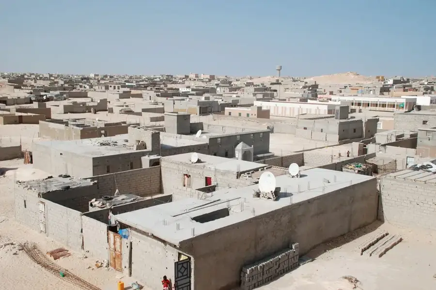
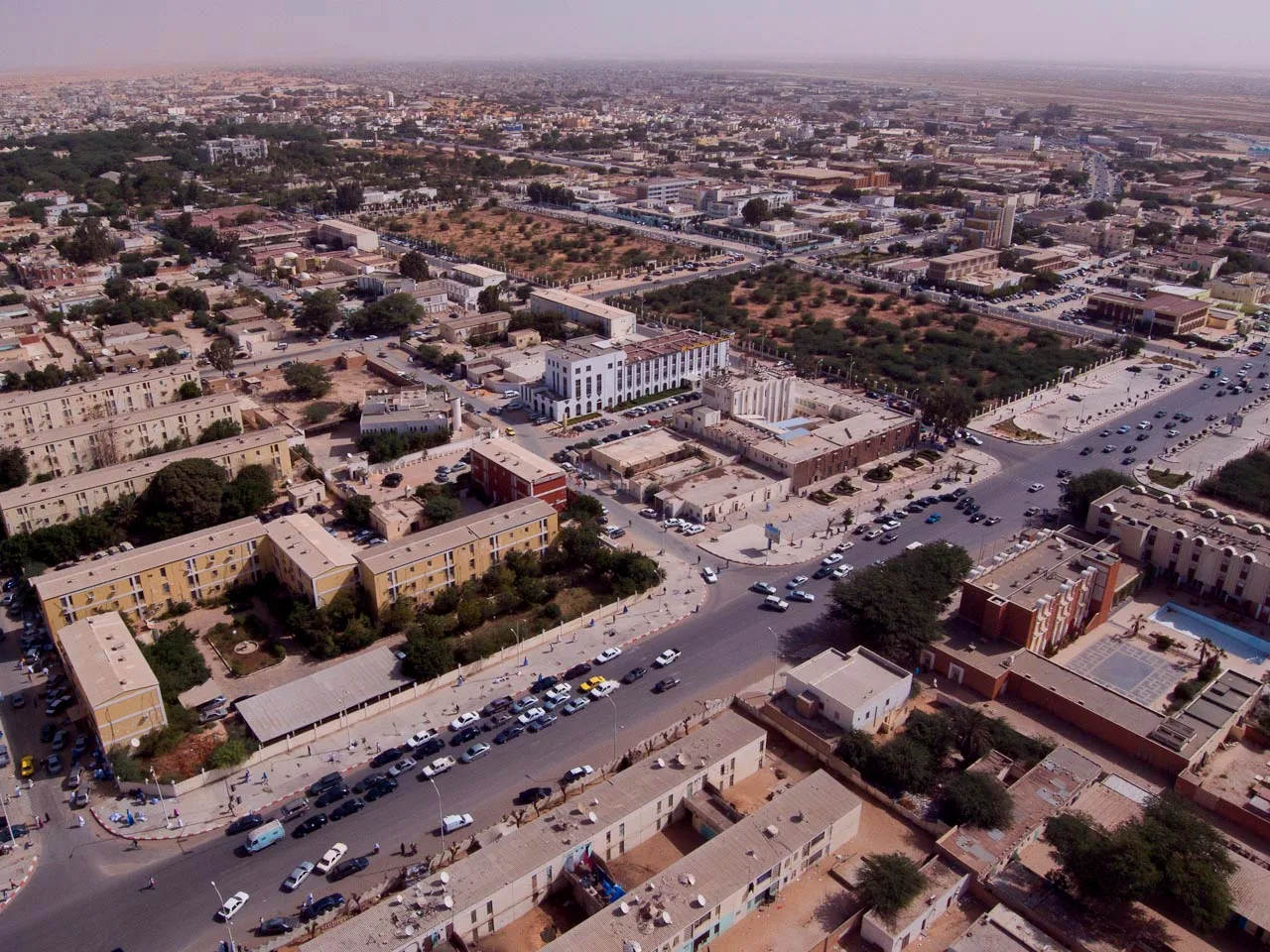
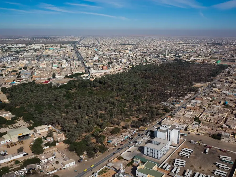
Aftout es-Sahel is an extensive, low-lying depression in southwestern Mauritania, running parallel to the Atlantic coastline between the city of Rosso and the capital, Nouakchott. This basin is a central component of Mauritania's national water strategy, hosting a massive hydraulic project that pumps water from the Senegal River to provide a reliable drinking water supply for Nouakchott. The area also supports significant agricultural irrigation, transforming parts of the arid landscape into productive fields. Geographically, it is a mix of saline flats, coastal dunes, and seasonal wetlands that appear after periodic rains. These wetlands are vital stopover points for millions of migratory birds traveling the East Atlantic Flyway. The successful management of Aftout es-Sahel is essential for the region's food security and urban development, showcasing a major engineering feat in one of the world's most challenging desert environments.
- Location: Mauritania
- Nearby: Mouit (68 km)
Best time to visit & climate
The most pleasant time to visit is Jan, Feb, Dec.
| Jan | Feb | Mar | Apr | May | Jun | Jul | Aug | Sep | Oct | Nov | Dec | |
|---|---|---|---|---|---|---|---|---|---|---|---|---|
| Avg °C | 21 | 23 | 25 | 27 | 29 | 30 | 30 | 30 | 30 | 30 | 26 | 22 |
| Rain mm | 2 | 3 | 25 | 1 | 0 | 6 | 42 | 78 | 61 | 23 | 2 | 0 |
📋 Practical info
Geography
Facts
- The depression extends over a length of approximately 200 kilometers.
- Parts of the area are utilized for the water supply of Nouakchott.
- Vegetation consists mainly of salt-tolerant halophytic plants.
- During rainy seasons, temporary lakes form, attracting migratory birds.
- The region is separated from the open ocean by sandy barriers.
- Historically, it served as a key route for north-south transportation.
Explore nearby
Notable places around
Route planner — Car & Motorhome
Where do you start? We build the route here, with stops and country notes along the way.
© OpenStreetMap contributors · OpenRouteService
Sights nearby
Frequently asked questions
What is Aftout es-Sahel?
Can you explore the area on foot?
Are there sanitary facilities nearby?
What should one bring on a tour?
Is the landscape interesting for photographers?
Aftout es-Sahel: where is it located?
Aftout es-Sahel: when is the best time to visit?
Aftout es-Sahel: why is it worth visiting?

Nearby cities