Plizio Visual Lab
Tessalit
ℹ️Practical info — Tessalit
▾
🌤 Weather — 5 days
📍 Nearby
Sights nearby
💡 Tips
- Tessalit is a remote desert hub; a local Tuareg guide is mandatory for navigation and safety.
- Carry at least 10 liters of water per person per day, as desert wells can be dry or unreliable.
- Take advantage of the night for stargazing; the light pollution here is among the lowest in the world.
- Wear a traditional cheche (Tuareg turban) to protect yourself effectively from the sun and blowing sand.
- Never leave the main tracks in the Adrar des Ifoghas mountains due to the extremely rugged terrain.
🍽 Food
The traditional Tuareg flatbread, baked directly under the hot desert sand and embers.
A hearty desert dish often prepared during celebrations in the oasis area.
Strong, frothy green tea served in three rounds; it is the essential social drink of the Sahara.
🛍 Shopping · 🧘 Quiet spots
A specific variant of the silver Tuareg cross that is unique to this region's craftsmanship.
Durable mats made from palm leaves and leather strips, produced by artisans in the oasis.
Small chunks of rock salt from nearby desert mines, sold at local trading points.
The date palm areas provide a shaded and cool contrast to the surrounding rocky desert.
Hidden natural water holes tucked into the mountain canyons, offering serene landscapes.
The high dunes at the base of the mountains are great for experiencing total desert silence.
Water temperature…
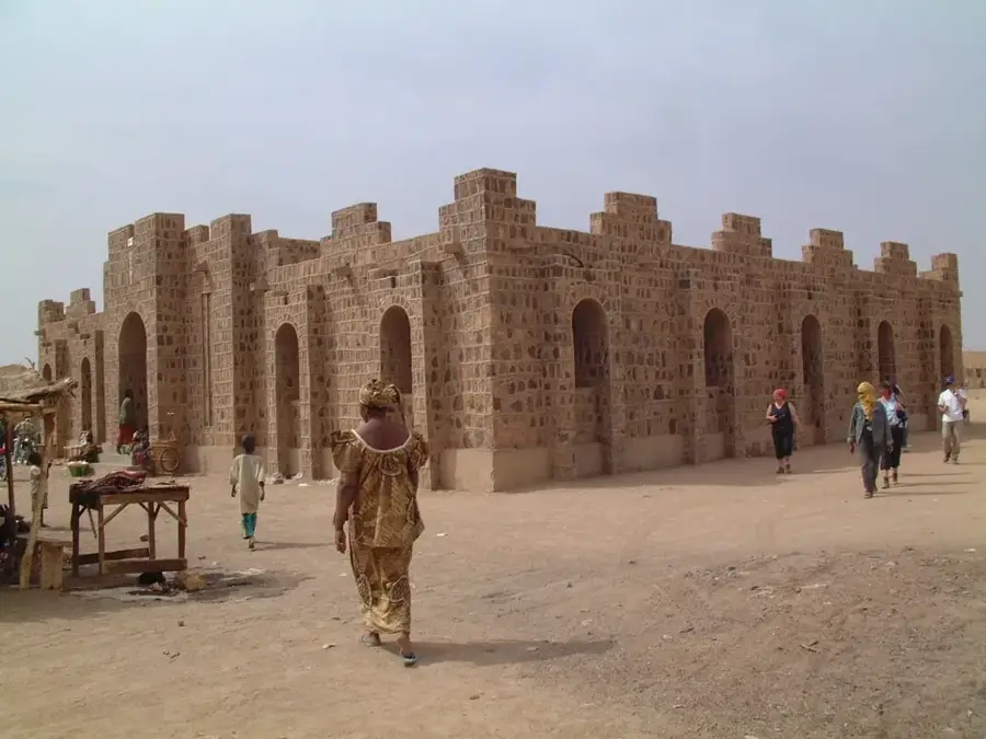
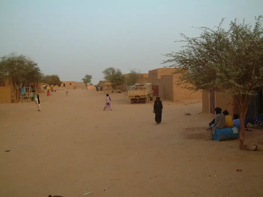
Tessalit is a strategically important oasis town in northern Mali, located in the Kidal Region within the Adrar des Ifoghas mountains. Due to its proximity to the Algerian border, the town has functioned for decades as a significant transit point for trans-border trade and migration movements. The settlement is known for its gypsum deposits and a prominent military base, originally constructed by the French and later playing a key role in Malian border security strategies. The climate is extremely arid, with the few oases allowing for agricultural use like date palm cultivation and small-scale gardening. Culturally, Tessalit is deeply rooted in Tuareg tradition, which is reflected in the local architecture and social structures. The town is also situated on a historical route connecting Gao with southern Algeria, underscoring its logistical importance in the Sahara region.
- Location: Mali
- Nearby: Aguelhok (84 km)
Best time to visit & climate
The most pleasant time to visit is Feb, Nov, Dec.
| Jan | Feb | Mar | Apr | May | Jun | Jul | Aug | Sep | Oct | Nov | Dec | |
|---|---|---|---|---|---|---|---|---|---|---|---|---|
| Avg °C | 18 | 21 | 25 | 30 | 34 | 36 | 35 | 34 | 33 | 30 | 24 | 20 |
| Rain mm | 1 | 0 | 0 | 0 | 3 | 7 | 24 | 37 | 13 | 2 | 0 | 0 |
Geography
Facts
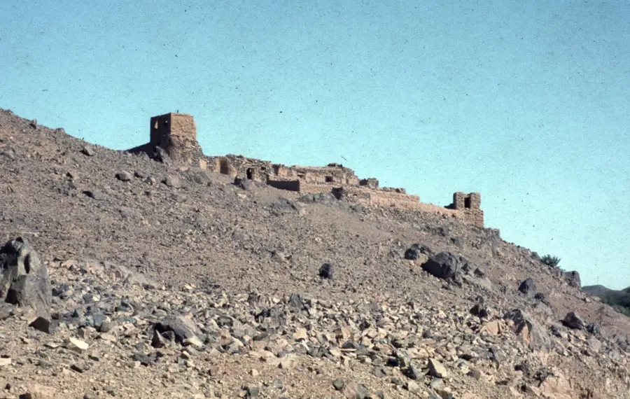
- Located in the Adrar des Ifoghas mountain massif
- Hosts a strategically important airport
- Known for large natural gypsum deposits
- Major base for UN peacekeeping forces (MINUSMA)
- Approximately 85 kilometers from the Algerian border
- Traditional center of the Kel Adagh Tuareg
Route planner — Car & Motorhome
Where do you start? We build the route here, with stops and country notes along the way.
© OpenStreetMap contributors · OpenRouteService
Frequently asked questions
How many days should I spend in Tessalit?
What is the best time to visit?
How is it best to get to Tessalit?
Are there local specialties?
Is Tessalit family-friendly?
Tessalit: where is it located?
Tessalit: when is the best time to visit?
Tessalit: why is it worth visiting?