Plizio Visual Lab
Aguelhok
ℹ️Practical info — Aguelhok
▾
🌤 Weather — 5 days
📍 Nearby
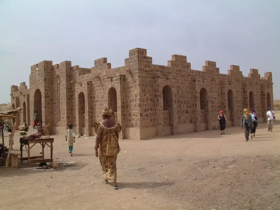
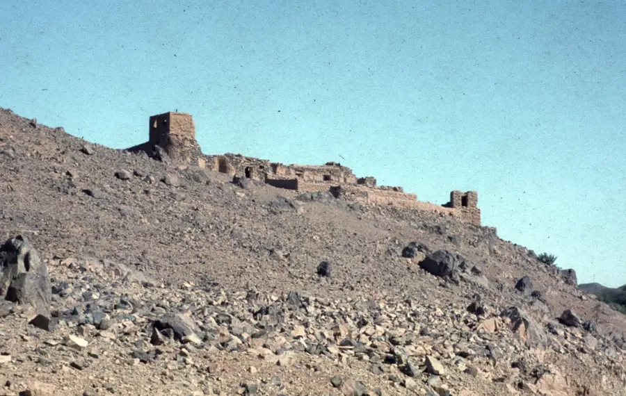
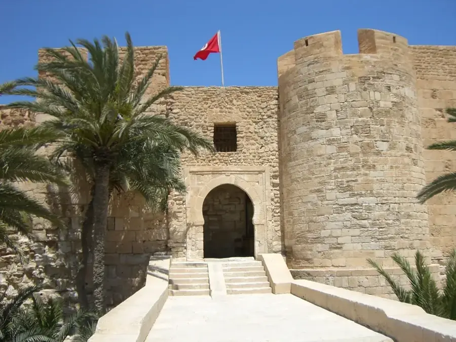
Sights nearby
💡 Tips
- The heat in this desert oasis is extreme; limit outdoor activity to early morning and late evening.
- Modest clothing is respectful of local Tuareg customs and protects against the strong sun.
- Travel requires careful planning and often local guides due to its isolated location in the Adrar des Ifoghas.
- Bottled or thoroughly purified water is an absolute necessity here.
🍽 Food
A strong, sweet green tea served in three successive rounds, a sign of hospitality.
The staple local grain, often served with a simple vegetable or meat sauce.
Fresh or dried dates are a primary snack and source of energy in the oasis.
🛍 Shopping · 🧘 Quiet spots
Look for traditional silver and leather crafts directly from local artisans.
Small blocks of salt brought by nomadic traders.
The edges of the settlement offer striking, silent views of the surrounding rocky desert.
The most peaceful places during the day are under the sparse local trees.
Water temperature…
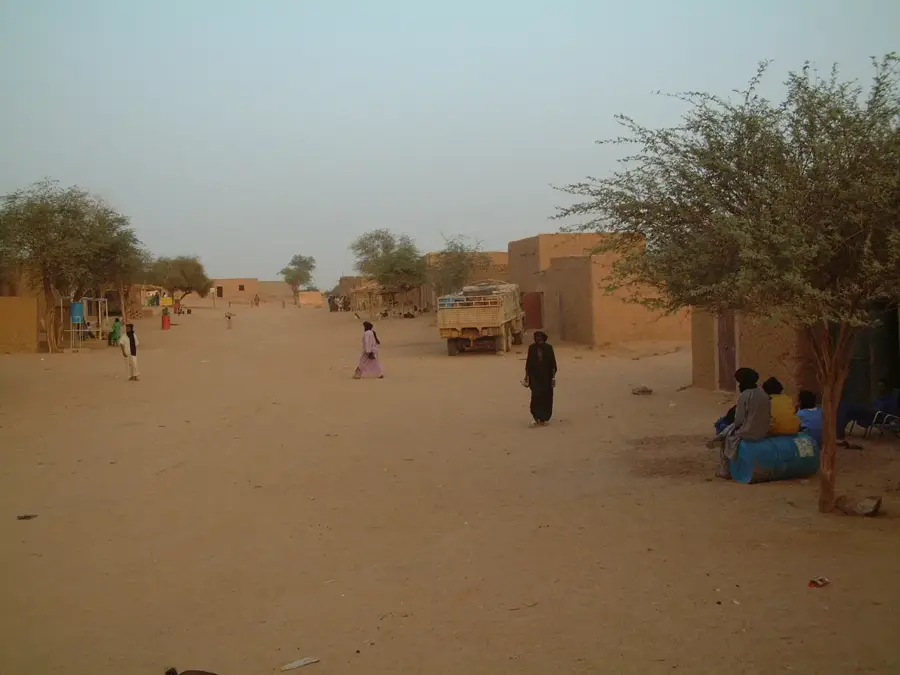
Aguelhok is a commune in the Kidal Region of northeastern Mali, located within the rugged terrain of the Adrar des Ifoghas massif. The town is situated on the main road between Gao and Tessalit, serving as a vital supply center in an otherwise inhospitable desert landscape. Historically, the region has been a flashpoint during various Tuareg rebellions, with the events of 2012 bringing the town into the focus of international attention. The local population consists predominantly of nomads whose livelihood depends on camel and goat herding. Despite extreme climatic conditions, Aguelhok possesses significant underground water reserves accessed through traditional wells. Geologically, the area is known for potential deposits of phosphates and other minerals, though these remain largely untapped due to security concerns. The architecture is characterized by simple mud-brick buildings adapted to the extreme temperature fluctuations of the Sahara.
- Location: Mali
- Nearby: Tessalit (84 km)
Best time to visit & climate
The most pleasant time to visit is Jan, Feb, Dec.
| Jan | Feb | Mar | Apr | May | Jun | Jul | Aug | Sep | Oct | Nov | Dec | |
|---|---|---|---|---|---|---|---|---|---|---|---|---|
| Avg °C | 18 | 21 | 26 | 30 | 34 | 36 | 35 | 33 | 33 | 30 | 25 | 20 |
| Rain mm | 1 | 0 | 0 | 0 | 3 | 6 | 22 | 40 | 12 | 3 | 0 | 0 |
Geography
Facts
- Located in the valley of the Tilemsi wadi
- Important stopover on the Trans-Sahara route
- Scene of significant political upheavals in 2012
- Features deep artesian wells for water supply
- Mainly inhabited by the Ifoghas Tuareg clan
- Situated about 150 kilometers north of Kidal
Explore nearby
Notable places around
Route planner — Car & Motorhome
Where do you start? We build the route here, with stops and country notes along the way.
© OpenStreetMap contributors · OpenRouteService
Frequently asked questions
How long to stay in Aguelhok?
When is the weather most pleasant?
How to reach Aguelhok?
Are there dining options?
Is the region safe?
Aguelhok: where is it located?
Aguelhok: when is the best time to visit?
Aguelhok: why is it worth visiting?