Plizio Visual Lab
Ndirande Mountain
Weather…
Water temperature…
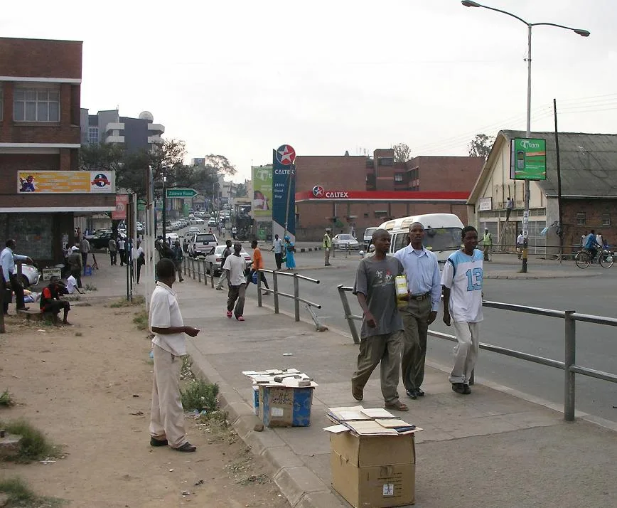
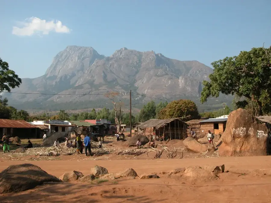
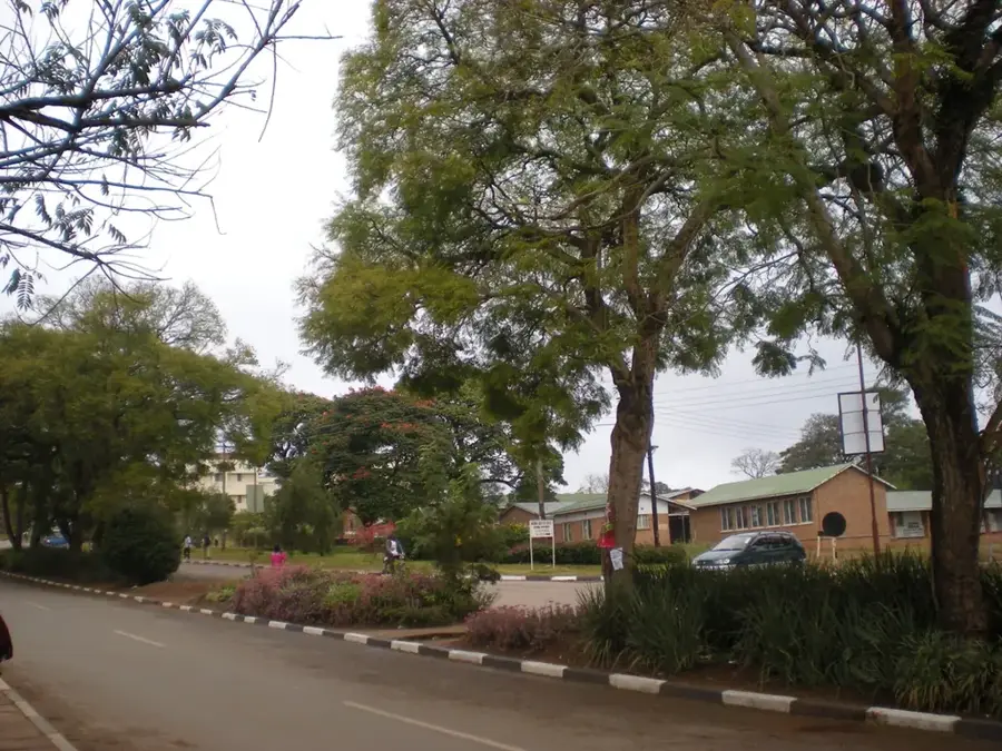
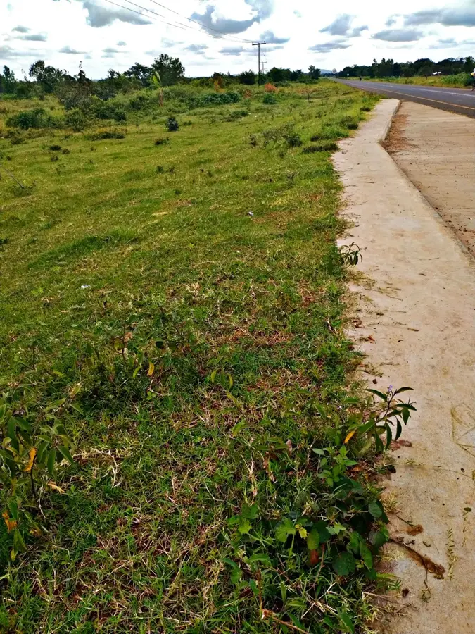
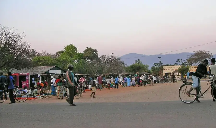
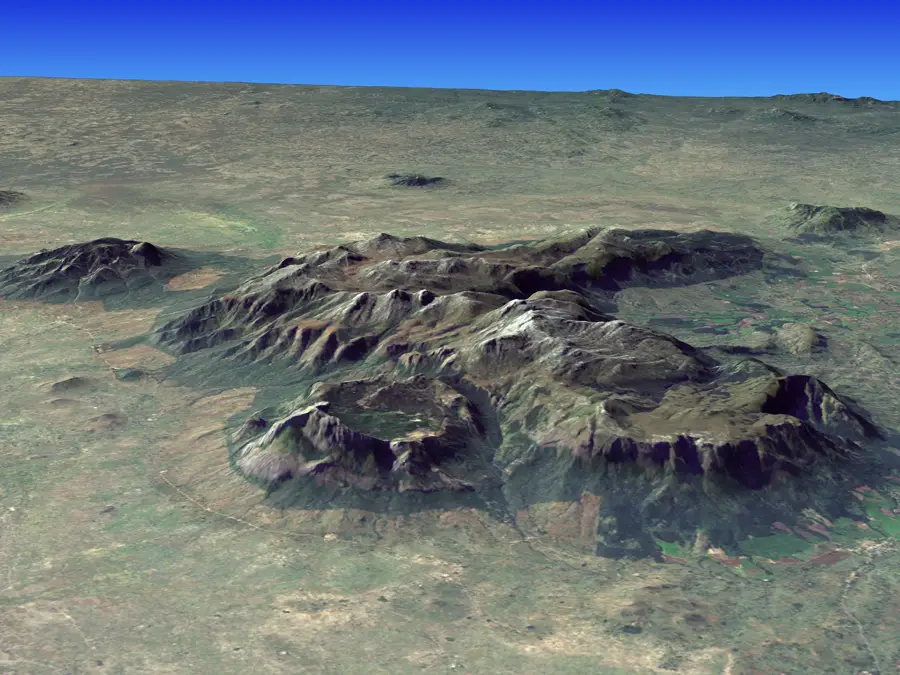
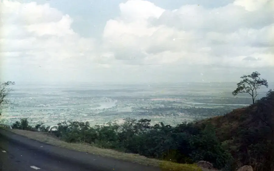
Ndirande Mountain rises sharply above the industrial and residential districts of Blantyre, serving as a significant geological landmark in Malawi's commercial capital. Reaching a height of 1,612 meters, the ridge is composed of resilient syenitic rock that has resisted erosion more effectively than the surrounding plains. Historically, the mountain was covered in dense indigenous forest, but rapid urban expansion and the demand for firewood have led to significant deforestation, making current conservation efforts critical. For visitors, the ascent provides a challenging hike and a panoramic perspective of the Shire Highlands. The southern face is particularly known for its sheer cliffs, which provide a dramatic backdrop to the city's skyline while remaining a vulnerable ecosystem under pressure from the growing population at its base.
- Location: Malawi
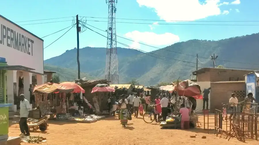
- Nearby: Blantyre (4 km)
Best time to visit & climate
The most pleasant time to visit is May, Jun, Aug.
| Jan | Feb | Mar | Apr | May | Jun | Jul | Aug | Sep | Oct | Nov | Dec | |
|---|---|---|---|---|---|---|---|---|---|---|---|---|
| Avg °C | 24 | 24 | 23 | 22 | 20 | 19 | 18 | 21 | 24 | 27 | 28 | 26 |
| Rain mm | 313 | 225 | 178 | 52 | 19 | 15 | 25 | 6 | 11 | 17 | 86 | 232 |
📋 Practical info
Geography
Facts
- Elevation: 1,400 m
- Volcano type: inactive shield
- Age: Tertiary
- Rock types: basalt, phonolite
- Annual rainfall: 1,100 mm
- Population density: high
Explore nearby
Notable places around
Route planner — Car & Motorhome
Where do you start? We build the route here, with stops and country notes along the way.
© OpenStreetMap contributors · OpenRouteService
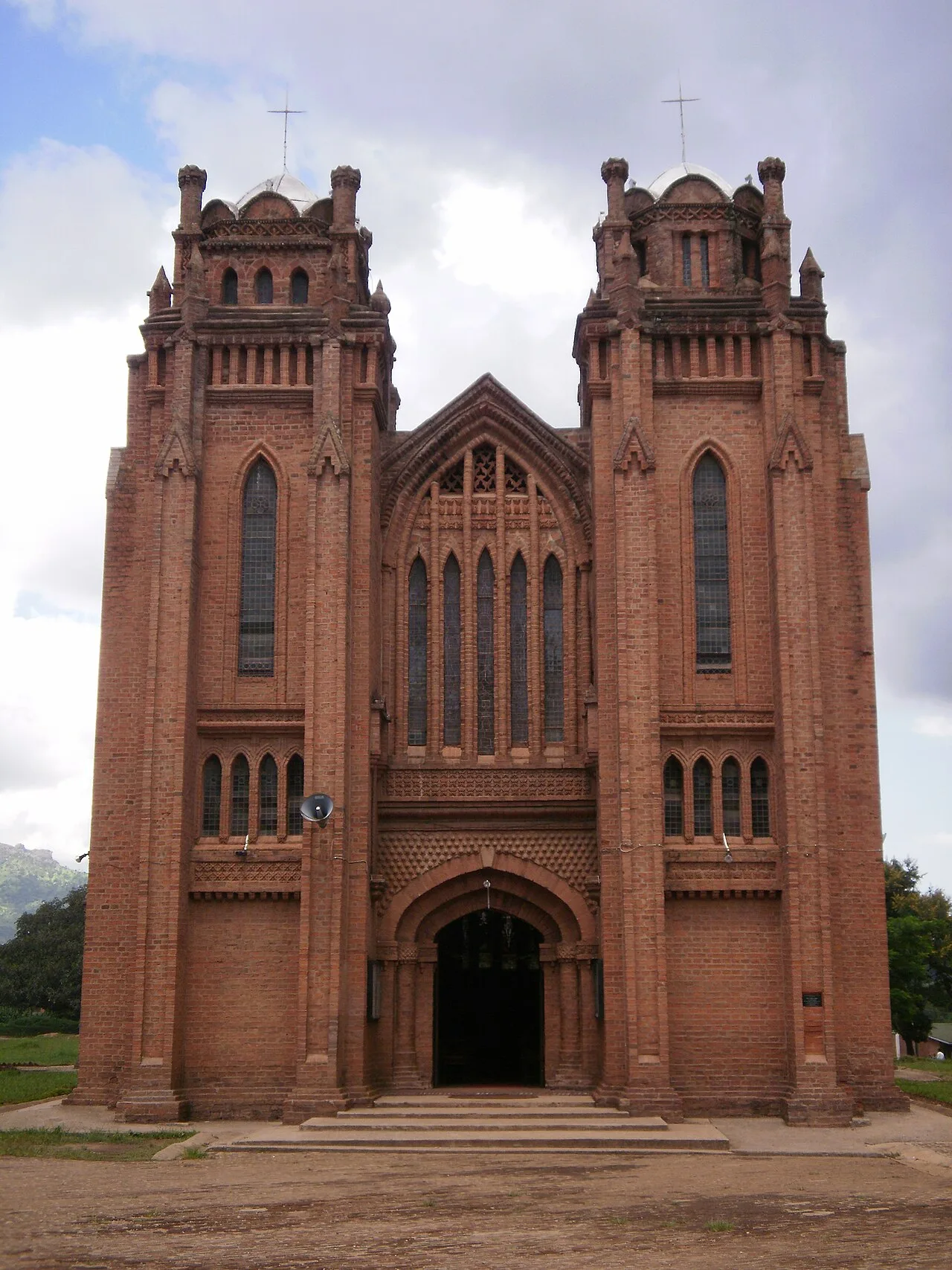
Sights in the town Ndirande Mountain (1)
Sights nearby
Frequently asked questions
How close is the mountain to Blantyre?
Can you climb the mountain alone?
Is the trail suitable for beginners?
What clothing should I wear?
What is the best time of day?
Ndirande Mountain: where is it located?
Ndirande Mountain: when is the best time to visit?
Ndirande Mountain: why is it worth visiting?

Nearby cities


History & landmarks

Nature
More places