Plizio Visual Lab
Namizimu Highlands

Weather…
Water temperature…
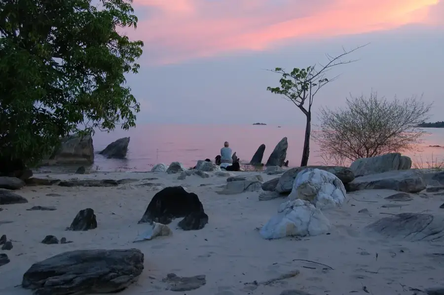
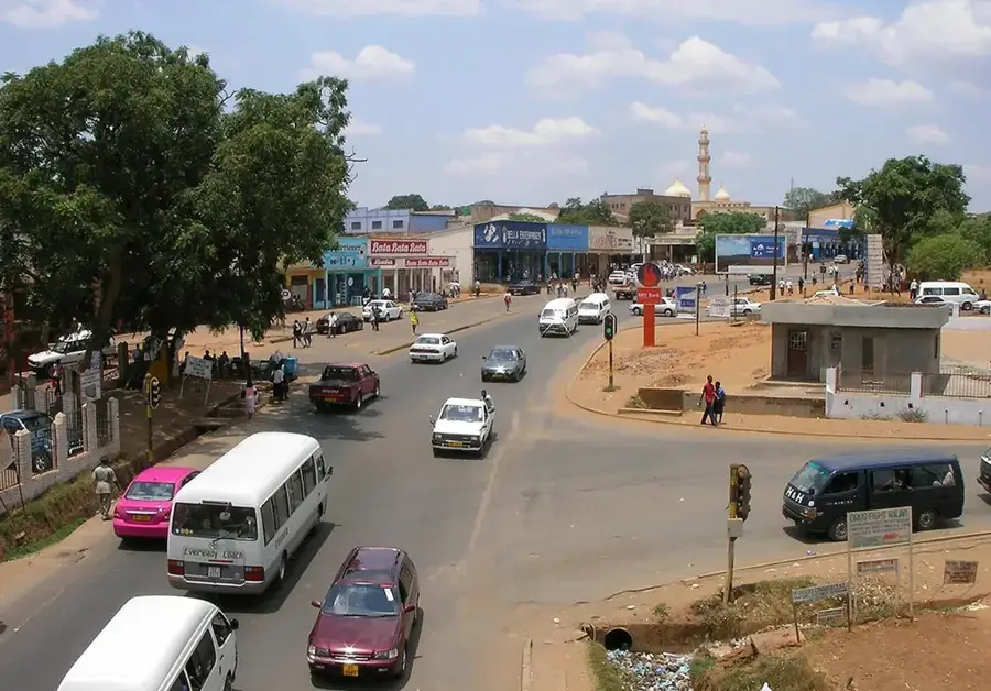
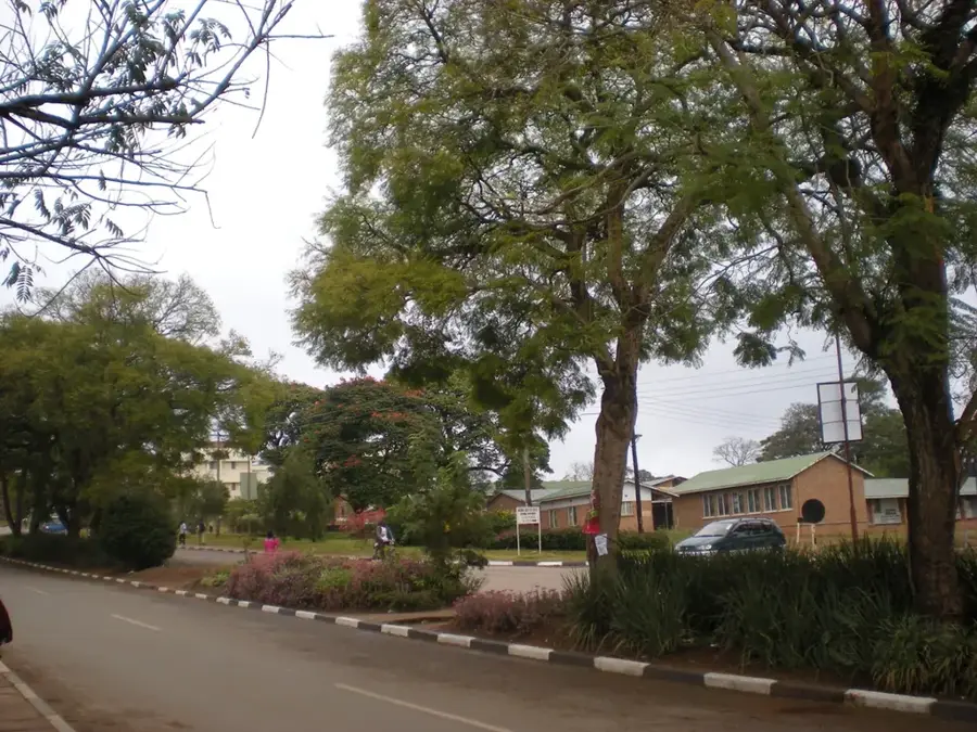
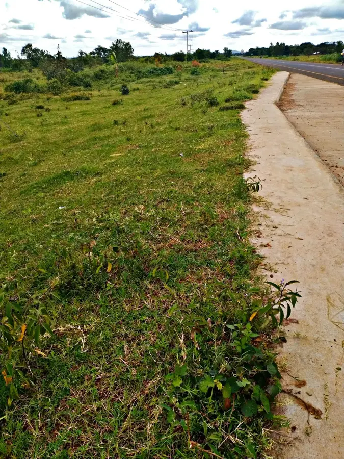
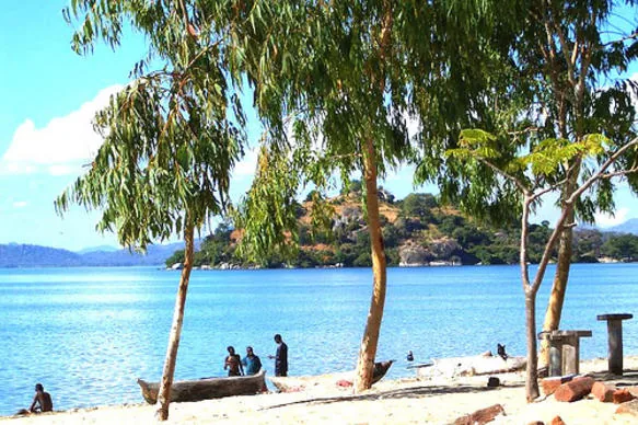
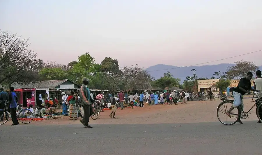
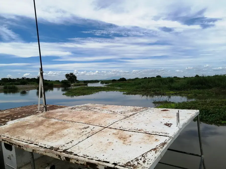
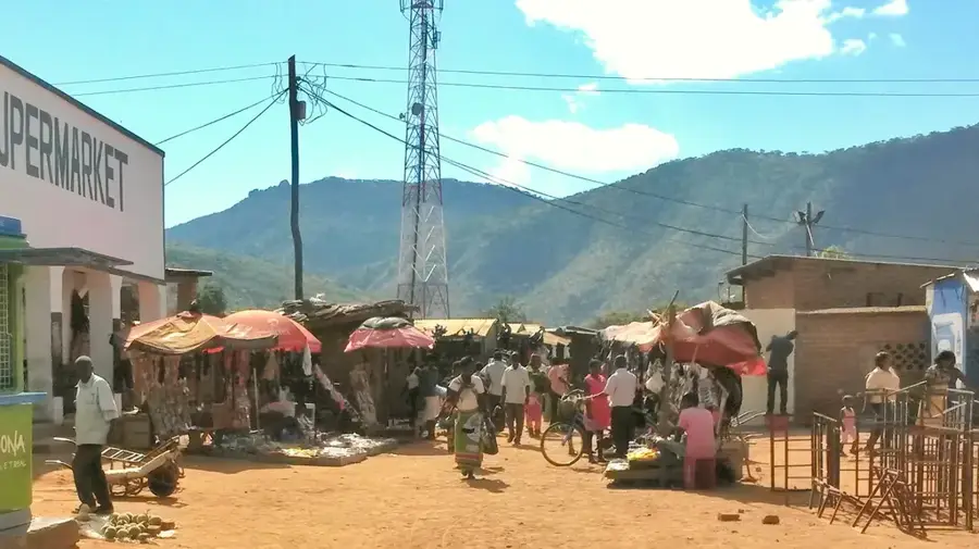
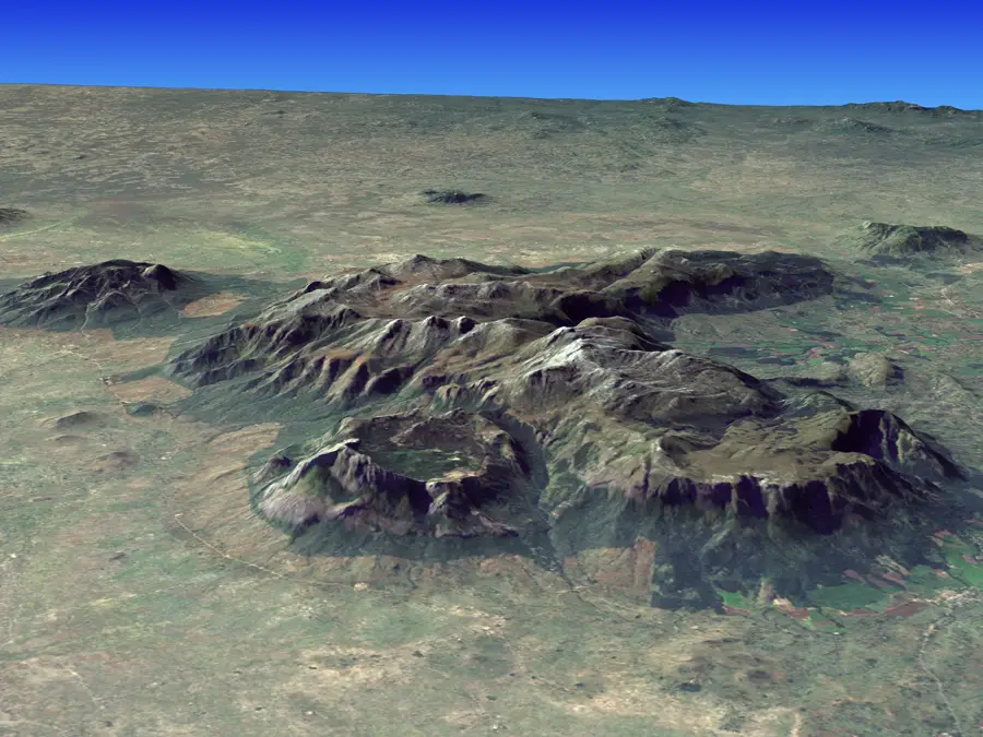
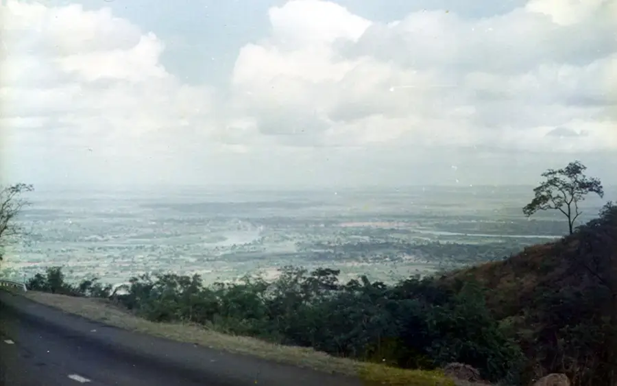
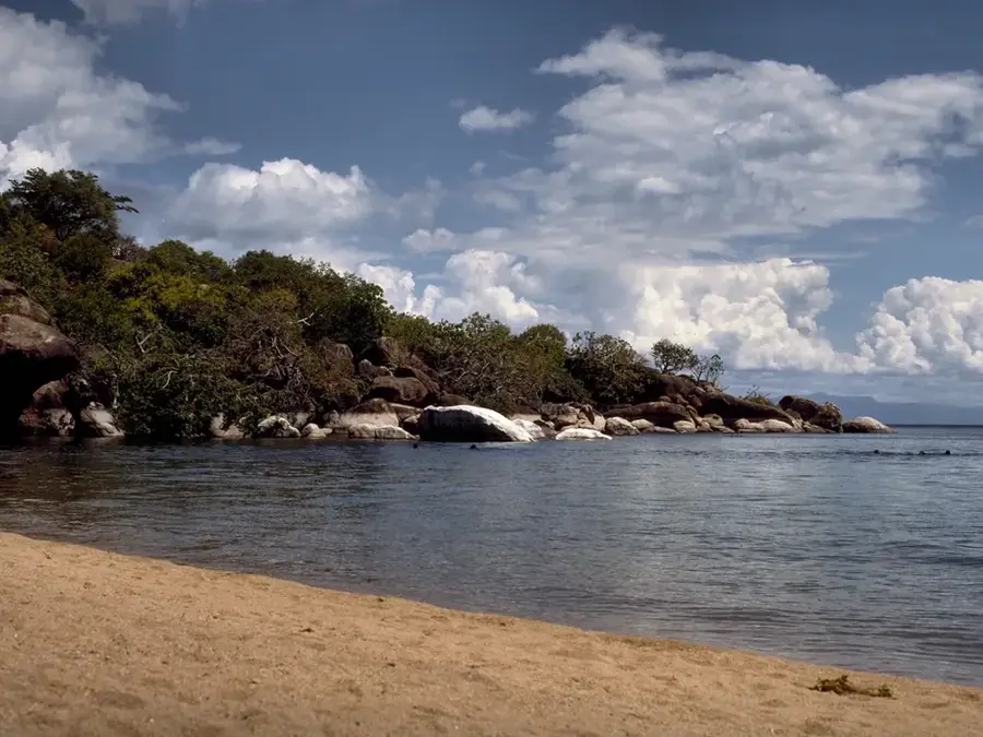
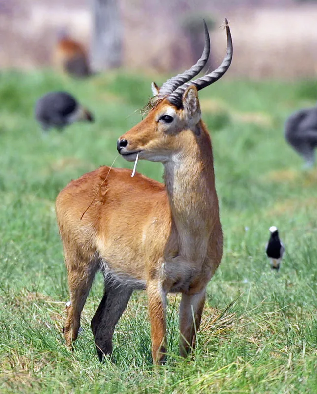
The Namizimu Highlands, situated east of Mangochi, represent one of the most rugged and least explored mountain ranges in southern Malawi. Rising to elevations of approximately 1,700 meters, this crystalline basement complex forms a natural fortress along the border with Mozambique. The region is characterized by steep ridges and deep valleys, covered in dense, relatively undisturbed montane forests that form the Namizimu Forest Reserve. These highlands play a vital hydrological role as a major catchment area, feeding several tributaries that flow into the Shire River and Lake Malawi. Due to its remote location and challenging terrain, the area remains a stronghold for biodiversity, hosting rare orchid species and providing habitat for leopards and various birds of prey. For the adventurous traveler, Namizimu provides a glimpse into Malawi's wild interior, far removed from the more frequented tourist paths of the southern highlands, showcasing the raw geological beauty of the Great Rift Valley system.
- Location: Malawi
- Nearby: Club Makokola (23 km)
Best time to visit & climate
The most pleasant time to visit is May, Aug, Sep.
| Jan | Feb | Mar | Apr | May | Jun | Jul | Aug | Sep | Oct | Nov | Dec | |
|---|---|---|---|---|---|---|---|---|---|---|---|---|
| Avg °C | 23 | 22 | 22 | 21 | 19 | 18 | 18 | 20 | 23 | 26 | 26 | 24 |
| Rain mm | 330 | 238 | 157 | 48 | 13 | 4 | 9 | 10 | 4 | 15 | 52 | 224 |
📋 Practical info
Geography
Facts
- Elevation: 1,800 m
- Rock types: granite, gneiss
- Forest reserve: 200 km²
- Annual rainfall: 1,500–2,000 mm
- River: Rumphi River
- Crops: coffee, vegetables
Explore nearby
Notable places around
Route planner — Car & Motorhome
Where do you start? We build the route here, with stops and country notes along the way.
© OpenStreetMap contributors · OpenRouteService
Sights in the town Namizimu Highlands (1)
Sights nearby
Frequently asked questions
Is the reserve visited?
Are there wild animals there?
Can you camp there?
Do I need a 4x4?
Best travel time?
Namizimu Highlands: where is it located?
Namizimu Highlands: when is the best time to visit?
Namizimu Highlands: why is it worth visiting?

Nearby cities


History & landmarks
Nature

More places