Plizio Visual Lab
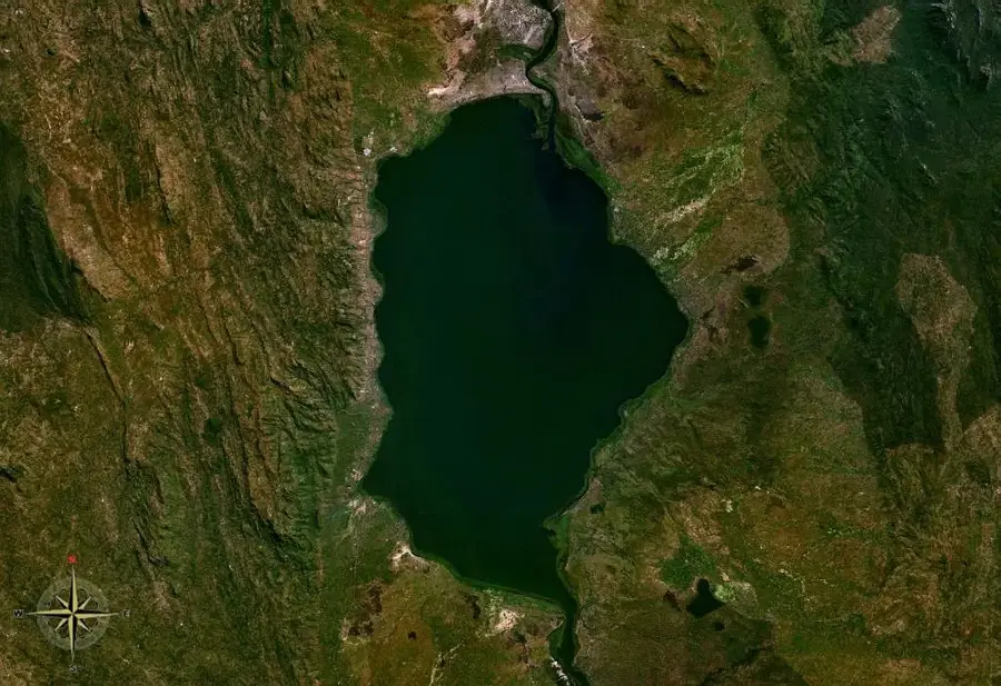
Mangochi Mountain

Weather…
Water temperature…
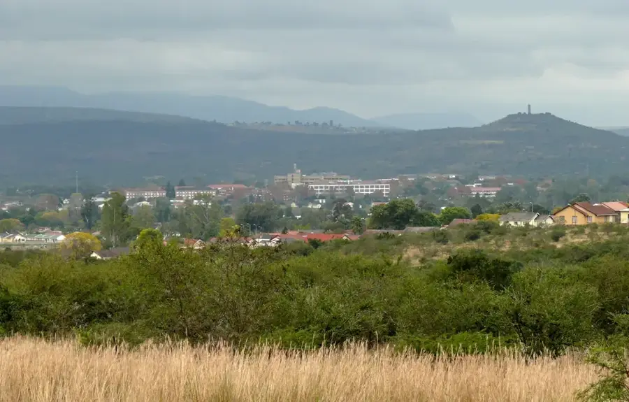
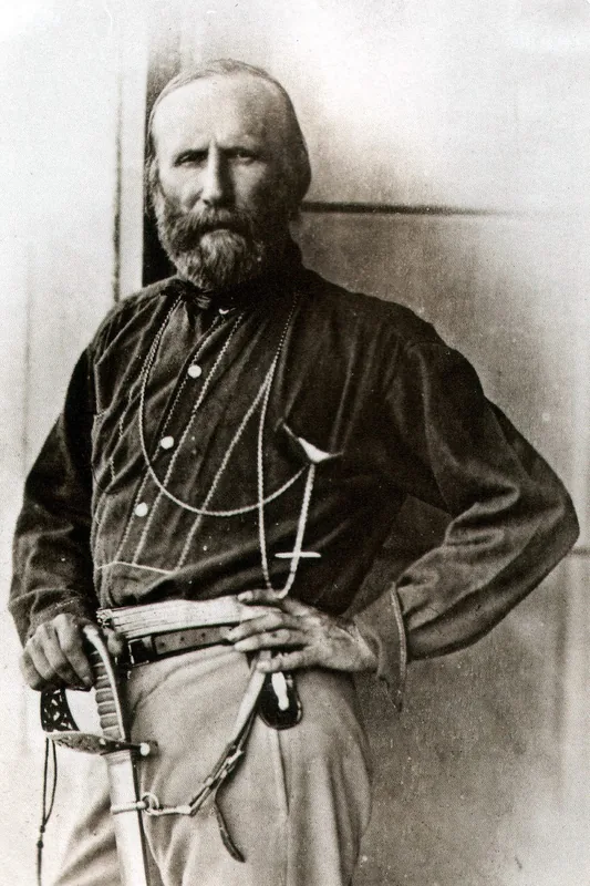
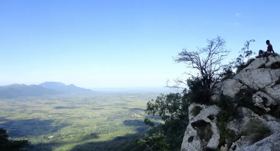
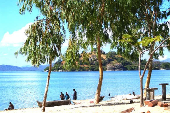
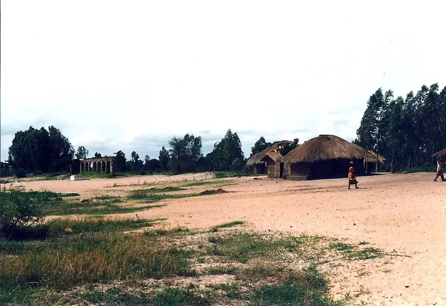
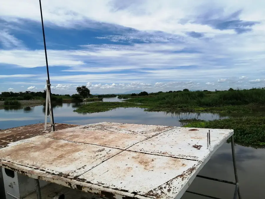
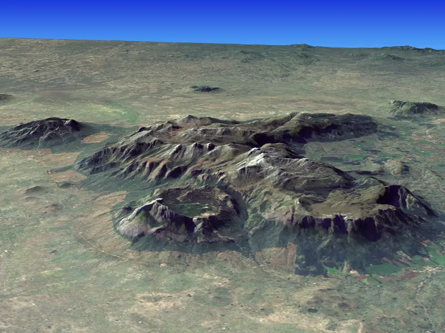
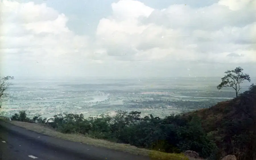
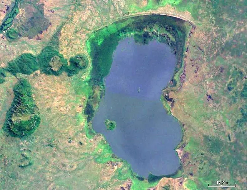
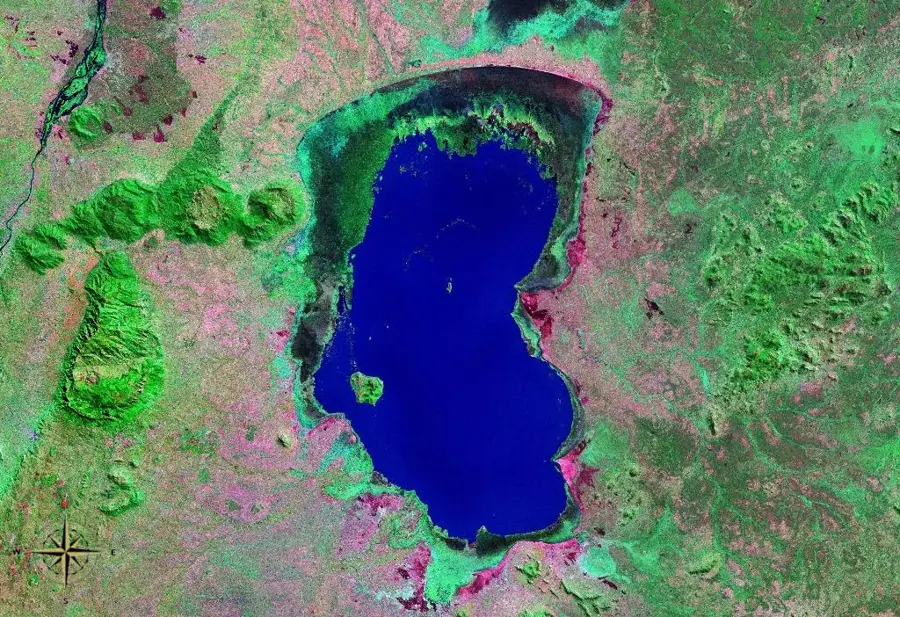
Mangochi Mountain stands as a prominent, isolated massif in southern Malawi, situated near the southern shores of Lake Malawi. Reaching an elevation of 1,742 meters, it is the highest point in the Mangochi District and a major geographical landmark. The mountain is primarily composed of alkaline syenite, a geological characteristic that distinguishes it from the surrounding terrain. Beyond its natural appeal, the mountain holds significant historical value as it hosts the remains of a 19th-century fort. This outpost was established during the colonial era to suppress the regional slave trade and serve as a strategic observation point. Today, the mountain is part of the Mangochi Forest Reserve, which serves as a critical refuge for diverse wildlife and indigenous flora, protecting them from the pressures of local deforestation. For hikers, the ascent provides a challenging but rewarding experience, passing through lush evergreen forests that are home to various primate species. The summit has sweeping views of the Shire River valley and the vast expanse of Lake Malawi.
- Location: Malawi
- Top sights: Fort Mangochi ruins · Skull Rock view point · Mangochi Forest Reserve
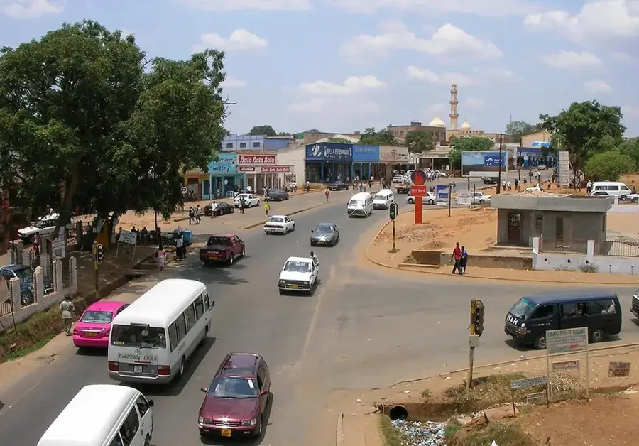
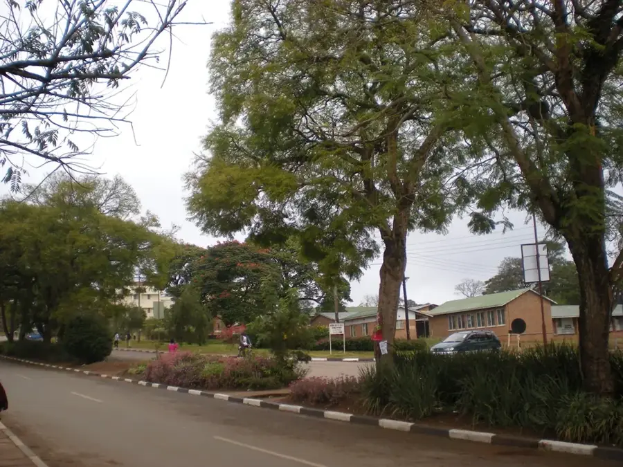
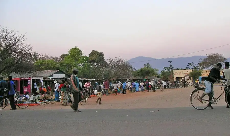
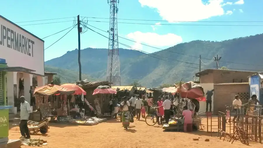
- Nearby: Mangochi (21 km)
Best time to visit & climate
The most pleasant time to visit is May, Jun, Aug.
| Jan | Feb | Mar | Apr | May | Jun | Jul | Aug | Sep | Oct | Nov | Dec | |
|---|---|---|---|---|---|---|---|---|---|---|---|---|
| Avg °C | 23 | 23 | 22 | 21 | 20 | 19 | 19 | 21 | 24 | 27 | 27 | 25 |
| Rain mm | 331 | 216 | 163 | 47 | 12 | 4 | 11 | 9 | 4 | 15 | 56 | 224 |
📋 Practical info
Geography
Facts
- Elevation: 800 m
- Rock type: granite
- Annual rainfall: 800–1,000 mm
- Crops: maize, rice
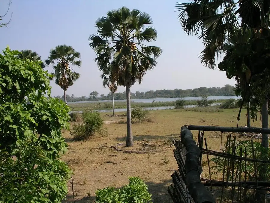
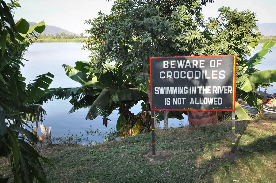
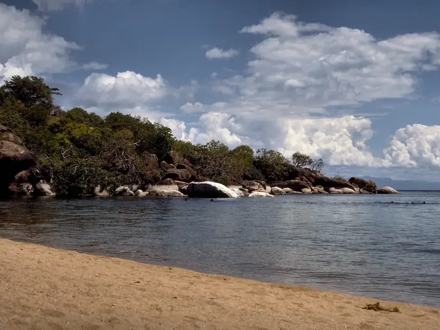
- Lake: Lake Malawi
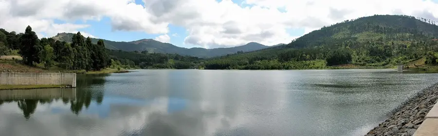
- Waterfall: Mbalanganda
Explore nearby
Notable places around
Route planner — Car & Motorhome
Where do you start? We build the route here, with stops and country notes along the way.
© OpenStreetMap contributors · OpenRouteService
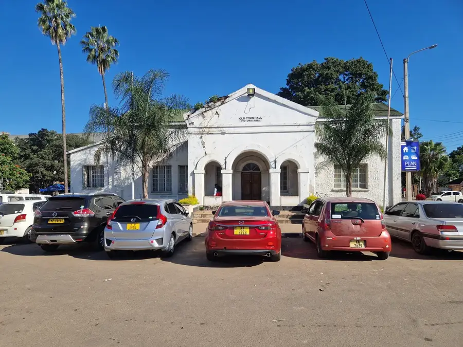
Sights in the town Mangochi Mountain (3)
Sights nearby
Frequently asked questions
Is the mountain well-visited?
How is the path to the summit?
What is the best preparation?
Can you do day trips there?
Are the views worth it?
Mangochi Mountain: where is it located?
Mangochi Mountain: what is there to see?
Mangochi Mountain: when is the best time to visit?
Mangochi Mountain: why is it worth visiting?

Nearby cities


History & landmarks

Nature
More places