Plizio Visual Lab
Mulunguzi Dam

Weather…
Water temperature…
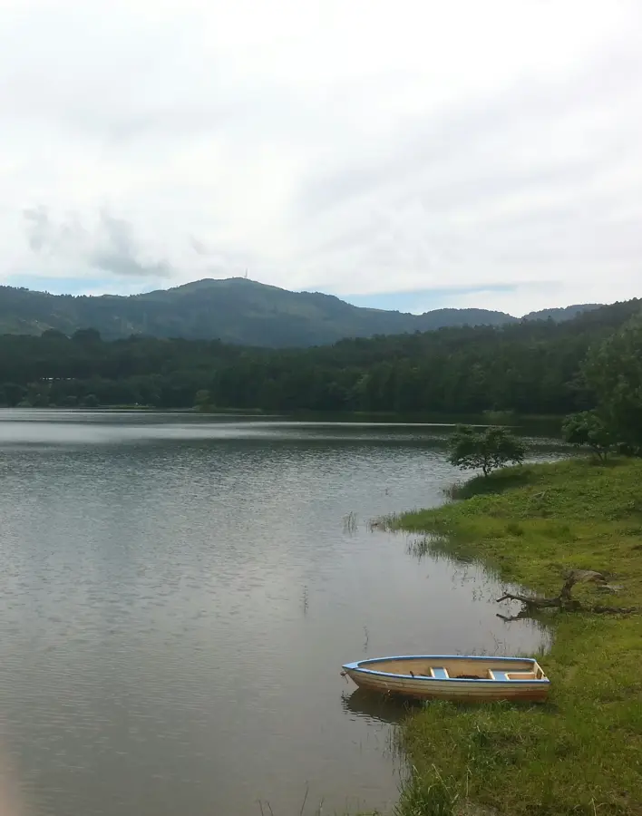
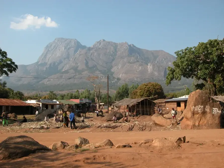
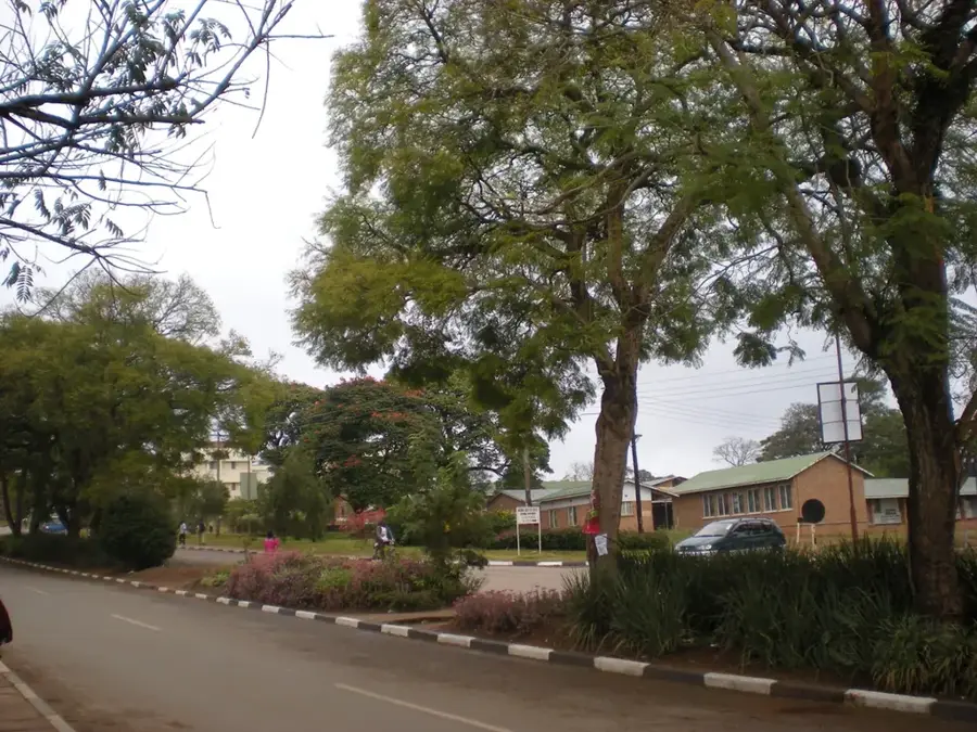
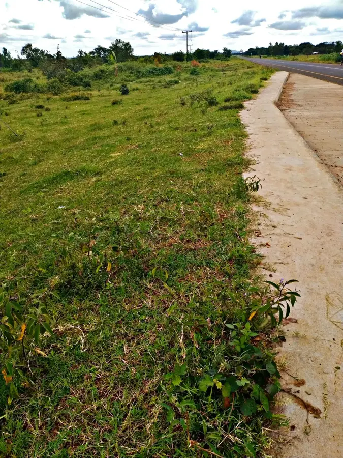
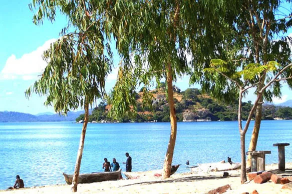
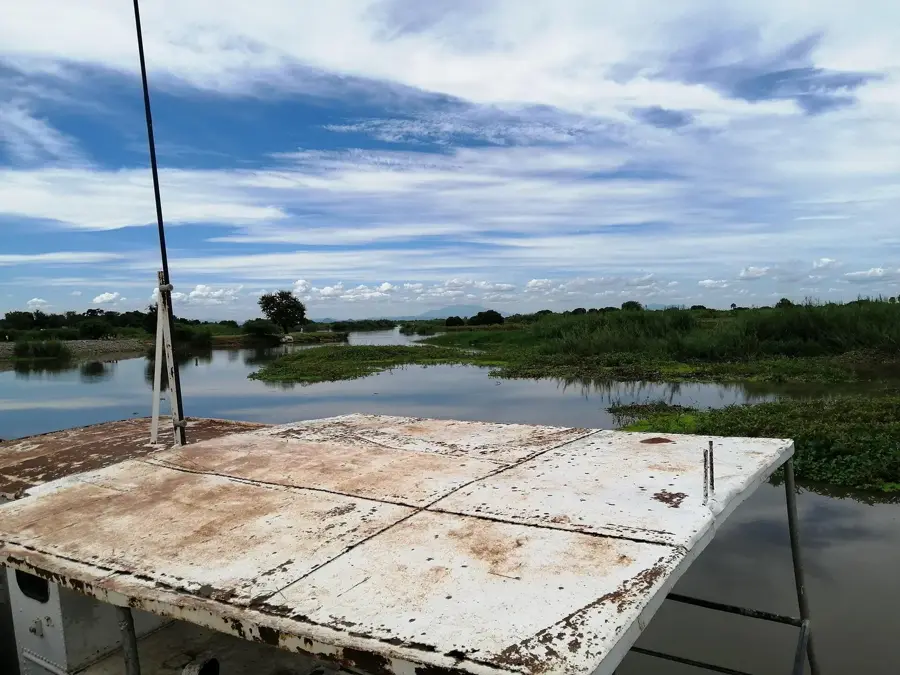
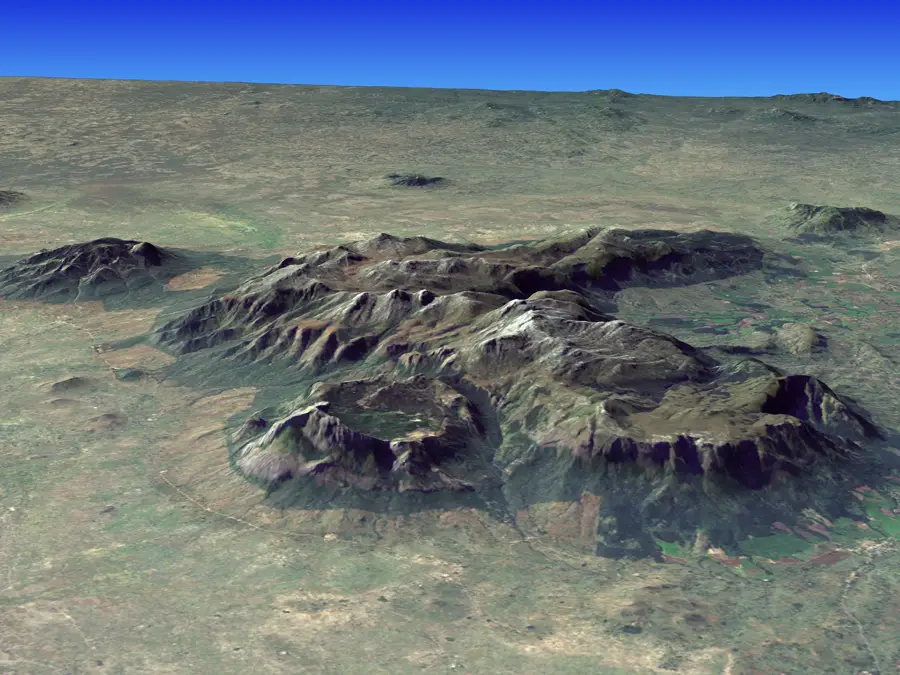
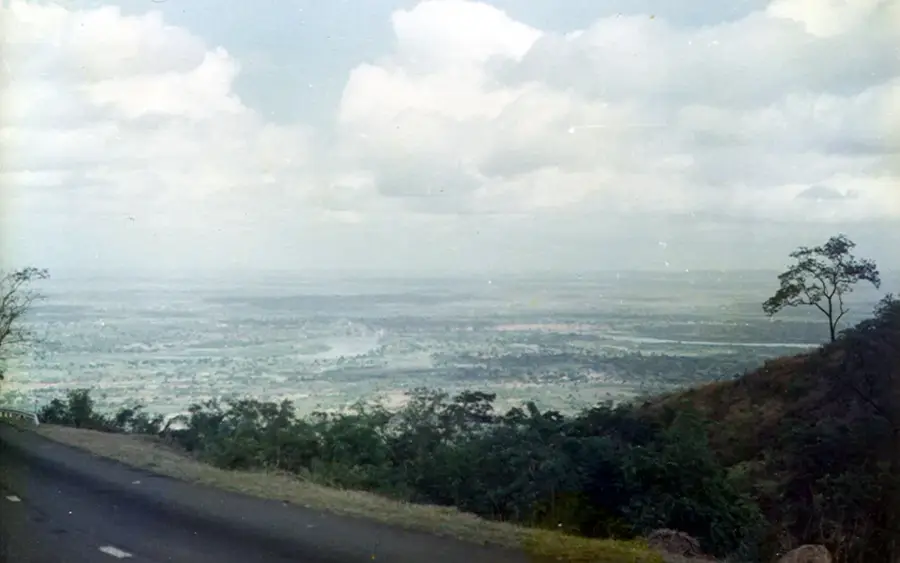
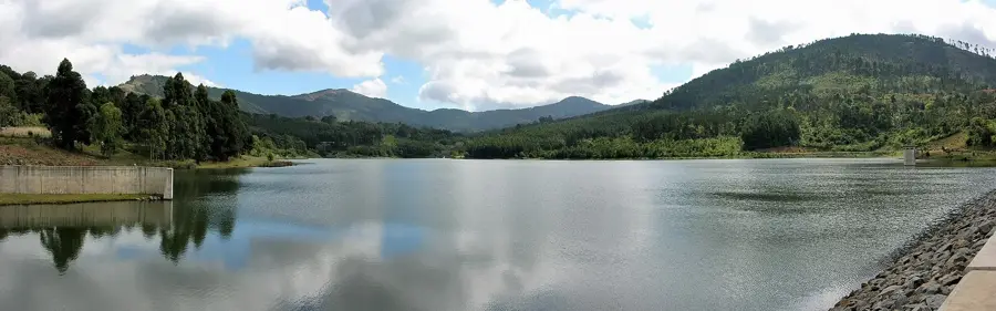
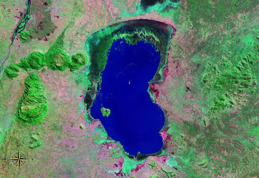
The Mulunguzi Dam is a significant engineering landmark from the colonial era, located within the scenic heights of the Zomba Plateau in Malawi. Originally constructed to provide a reliable water supply for Zomba, the country's former capital, the dam impounds the Mulunguzi River to form a large, shimmering reservoir. The surrounding area is characterized by its cool mountain air and extensive pine plantations, making it a favorite retreat for both locals and travelers. Beyond its utilitarian function, the dam is a centerpiece of the plateau's natural beauty, with several hiking trails leading from the site to nearby waterfalls and viewpoints. The reservoir is also an excellent spot for birdwatching and peaceful contemplation amidst the lush greenery. As a historic infrastructure project, the dam reflects the early 20th-century development of the region and continues to be an essential component of the local ecosystem and water management system.
- Location: Malawi
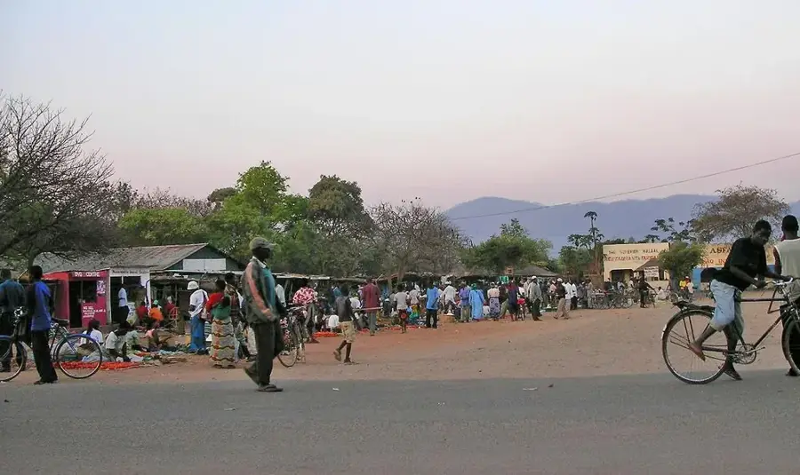
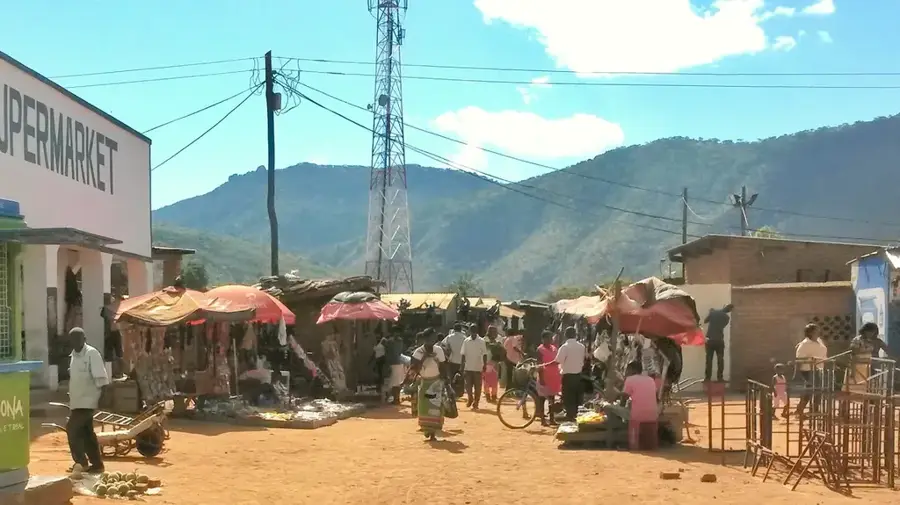
- Nearby: Liwonde (29 km)
Best time to visit & climate
The most pleasant time to visit is May, Aug, Sep.
| Jan | Feb | Mar | Apr | May | Jun | Jul | Aug | Sep | Oct | Nov | Dec | |
|---|---|---|---|---|---|---|---|---|---|---|---|---|
| Avg °C | 24 | 24 | 23 | 22 | 20 | 19 | 18 | 21 | 24 | 27 | 27 | 26 |
| Rain mm | 343 | 227 | 189 | 60 | 18 | 16 | 28 | 8 | 8 | 17 | 94 | 238 |
📋 Practical info
Geography
Facts
- Completed 1990
- Earthfill dam
- Height: 25 m
- Capacity: 2.5 million m³
- Length: 150 m
- Catchment: 20 km²
Explore nearby
Notable places around
Route planner — Car & Motorhome
Where do you start? We build the route here, with stops and country notes along the way.
© OpenStreetMap contributors · OpenRouteService
Sights in the town Mulunguzi Dam (1)
Sights nearby
Frequently asked questions
Is Mulunguzi Dam open to tourists?
How to reach the dam?
Is a ticket needed?
Is it family-friendly?
Is swimming allowed?
Mulunguzi Dam: where is it located?
Mulunguzi Dam: when is the best time to visit?
Mulunguzi Dam: why is it worth visiting?

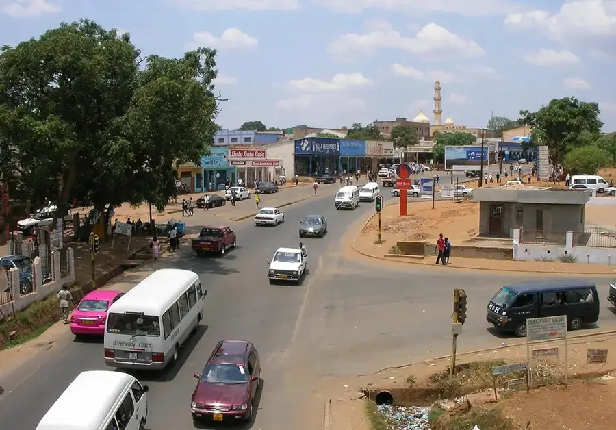
Nearby cities


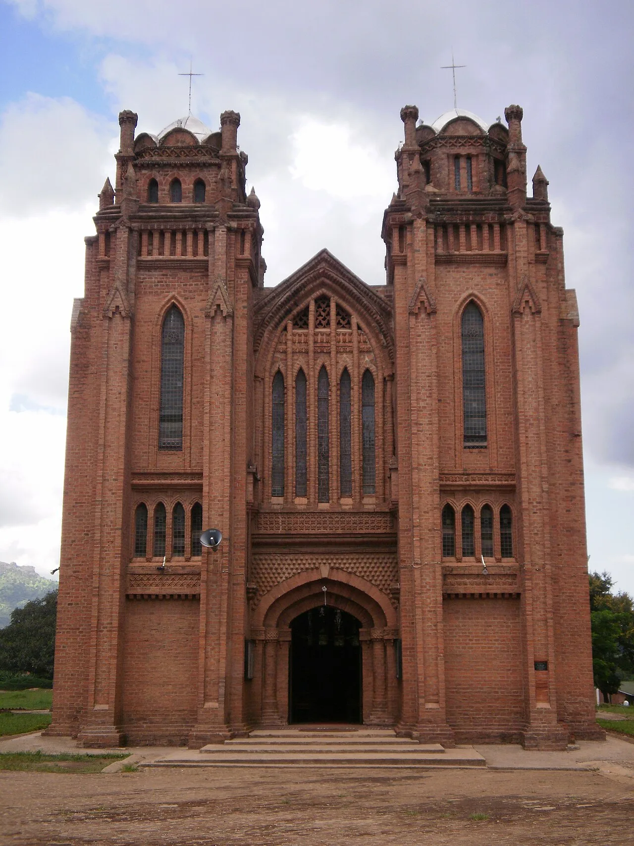
History & landmarks


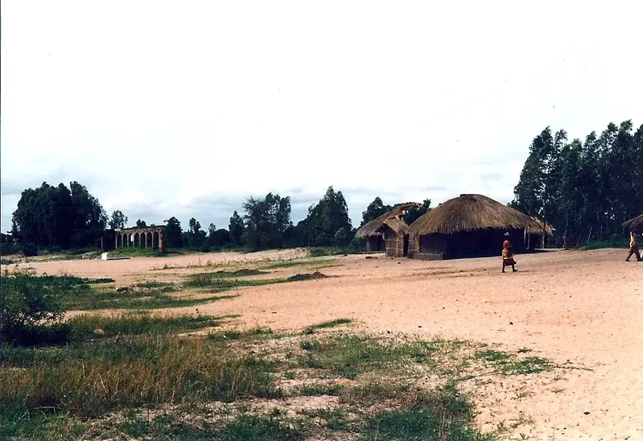
Nature
More places