Plizio Visual Lab
Chiradzulu Mountain
Weather…
Water temperature…
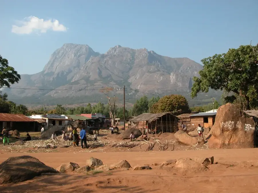
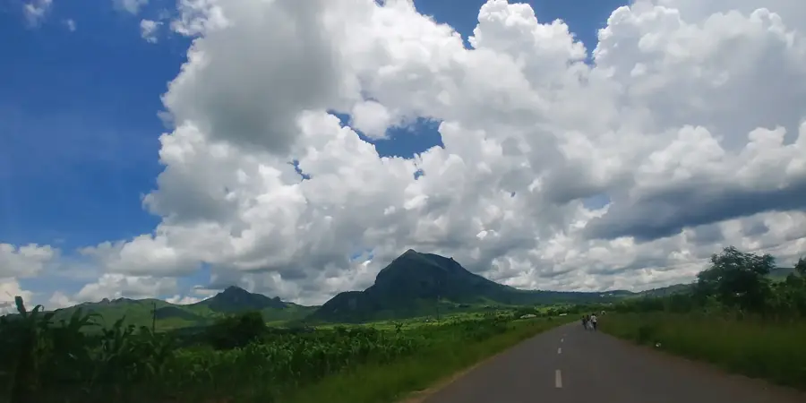
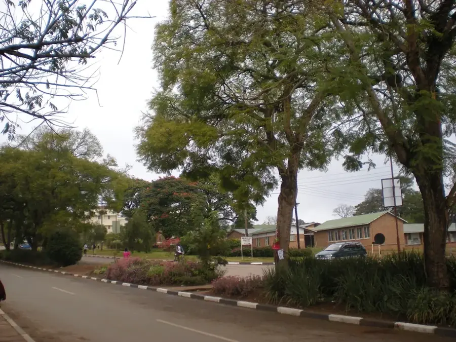
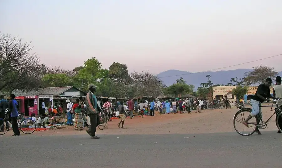
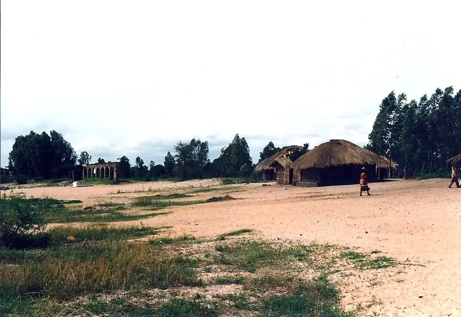
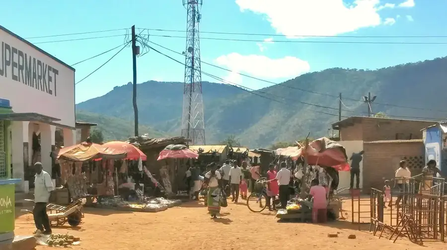
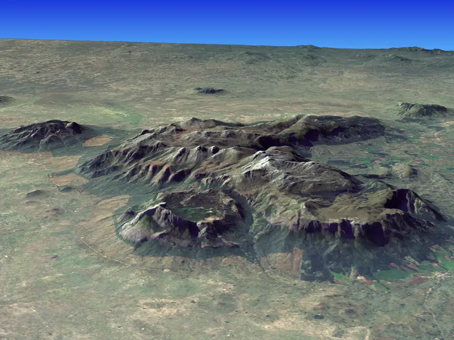
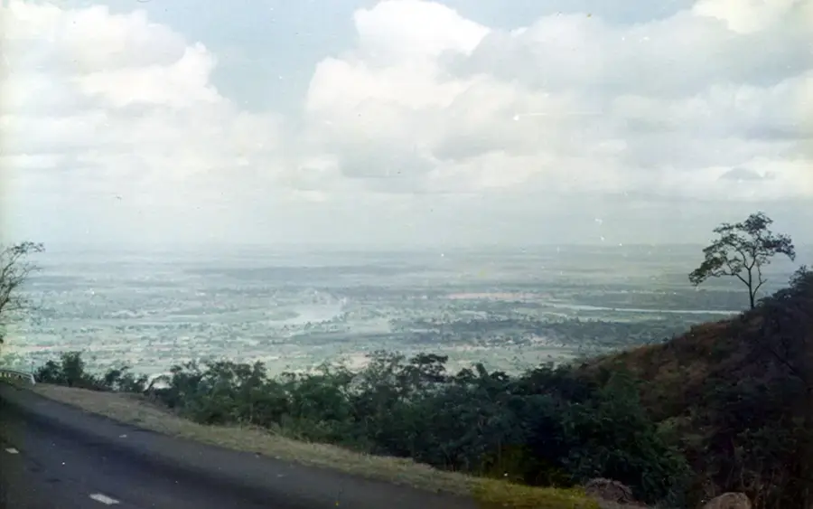
Chiradzulu Mountain is a prominent inselberg rising dramatically from the Shire Highlands in southern Malawi, situated strategically between the major hubs of Blantyre and Zomba. Reaching a peak elevation of 1,772 meters, it is the highest point in the Chiradzulu District and serves as a dominant feature of the regional skyline. The mountain's geological foundation consists of Jurassic-era intrusive rocks, which give it a rugged and enduring profile against the surrounding plains. Its slopes are blanketed with a mix of indigenous montane forests and grasslands, making it a critical site for regional conservation and a haven for local birdlife. Hikers are drawn to Chiradzulu for its challenging trails and the rewarding panoramic views of the Shire Valley and distant Mulanje Massif. Beyond its natural appeal, the mountain holds historical significance within Malawi's colonial narrative, today standing as a symbol of the country's diverse landscape and natural heritage.
- Location: Malawi
- Nearby: Blantyre (19 km)
Best time to visit & climate
The most pleasant time to visit is May, Jun, Aug.
| Jan | Feb | Mar | Apr | May | Jun | Jul | Aug | Sep | Oct | Nov | Dec | |
|---|---|---|---|---|---|---|---|---|---|---|---|---|
| Avg °C | 24 | 24 | 23 | 22 | 20 | 19 | 18 | 21 | 24 | 27 | 28 | 26 |
| Rain mm | 313 | 225 | 178 | 52 | 19 | 15 | 25 | 6 | 11 | 17 | 86 | 232 |
📋 Practical info
Geography
Facts
- Elevation: 1,739 m
- Rock type: nepheline syenite
- Annual rainfall: 1,200 mm
- Distance from Blantyre: 15 km
- Crops: maize, beans
- District: Chiradzulu
Explore nearby
Notable places around
Route planner — Car & Motorhome
Where do you start? We build the route here, with stops and country notes along the way.
© OpenStreetMap contributors · OpenRouteService
Sights in the town Chiradzulu Mountain (1)
Sights nearby
Frequently asked questions
Is the hike well-marked?
What is the difficulty level?
Best time of year for the climb?
Are there toilets there?
How long does a full ascent take?
Chiradzulu Mountain: where is it located?
Chiradzulu Mountain: when is the best time to visit?
Chiradzulu Mountain: why is it worth visiting?

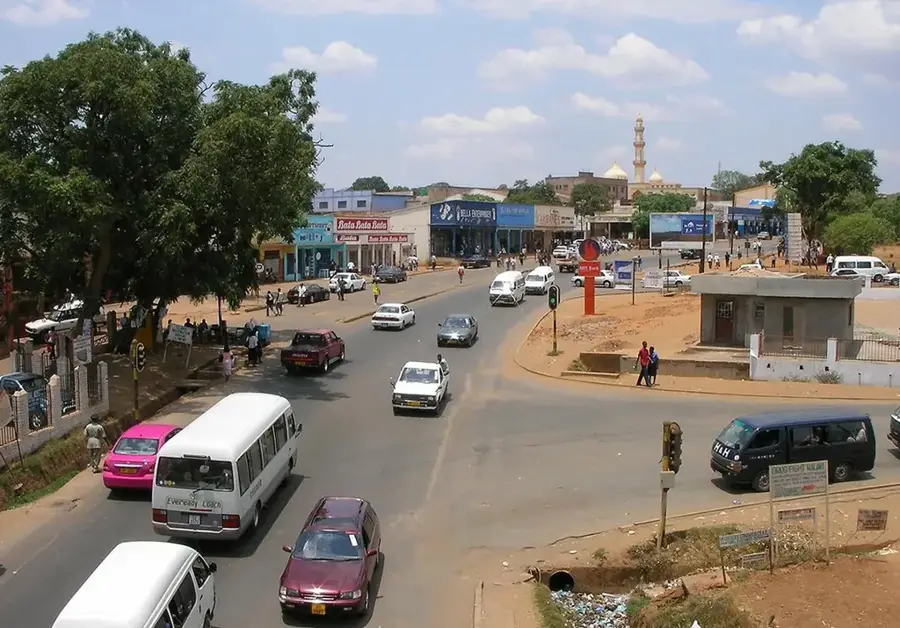
Nearby cities


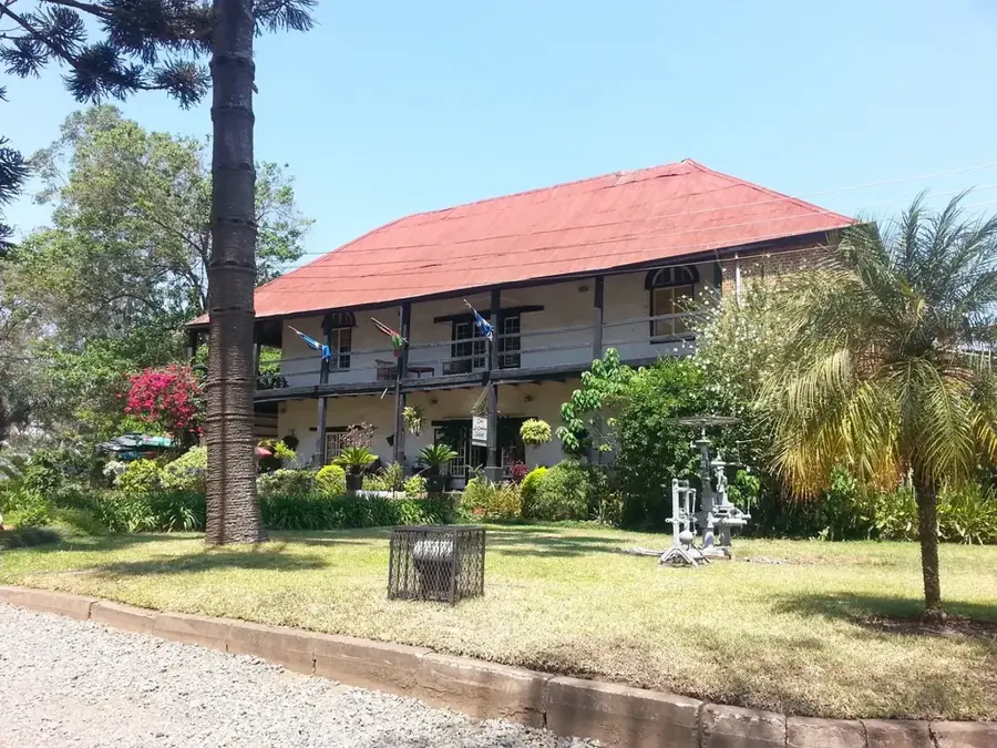
History & landmarks

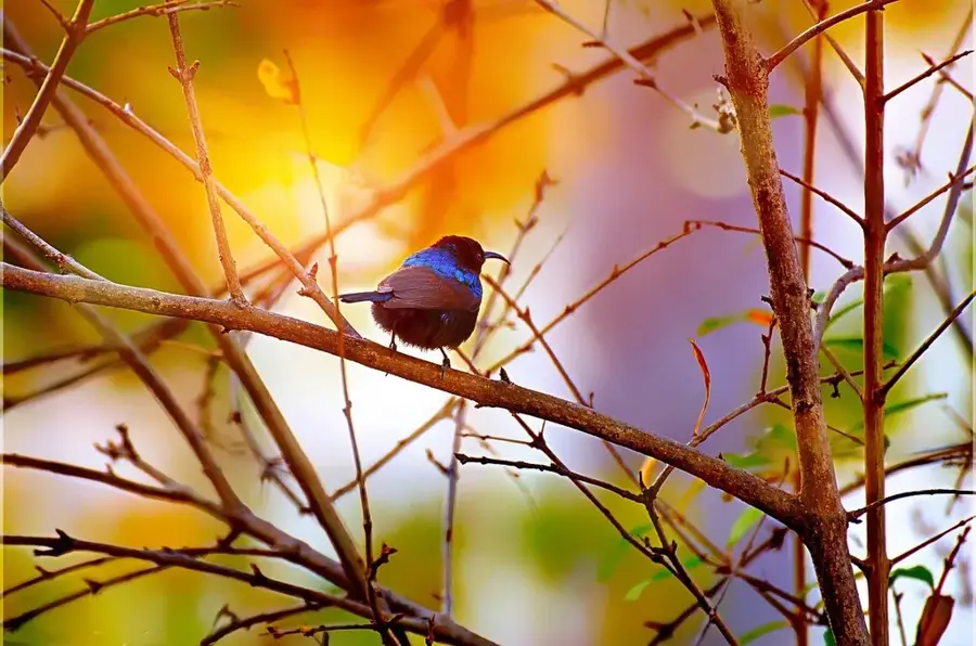


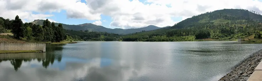
Nature
More places